
Quick report
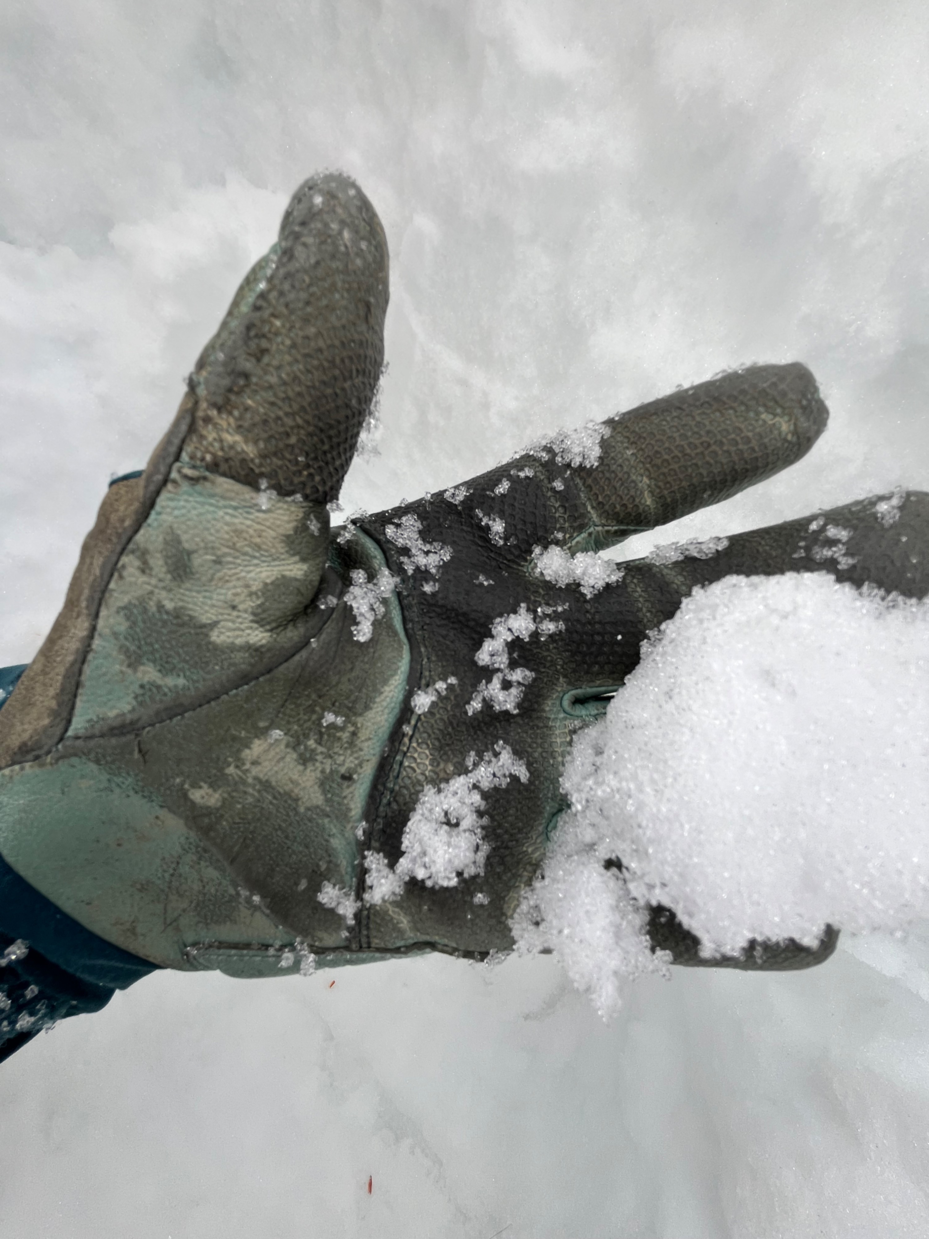
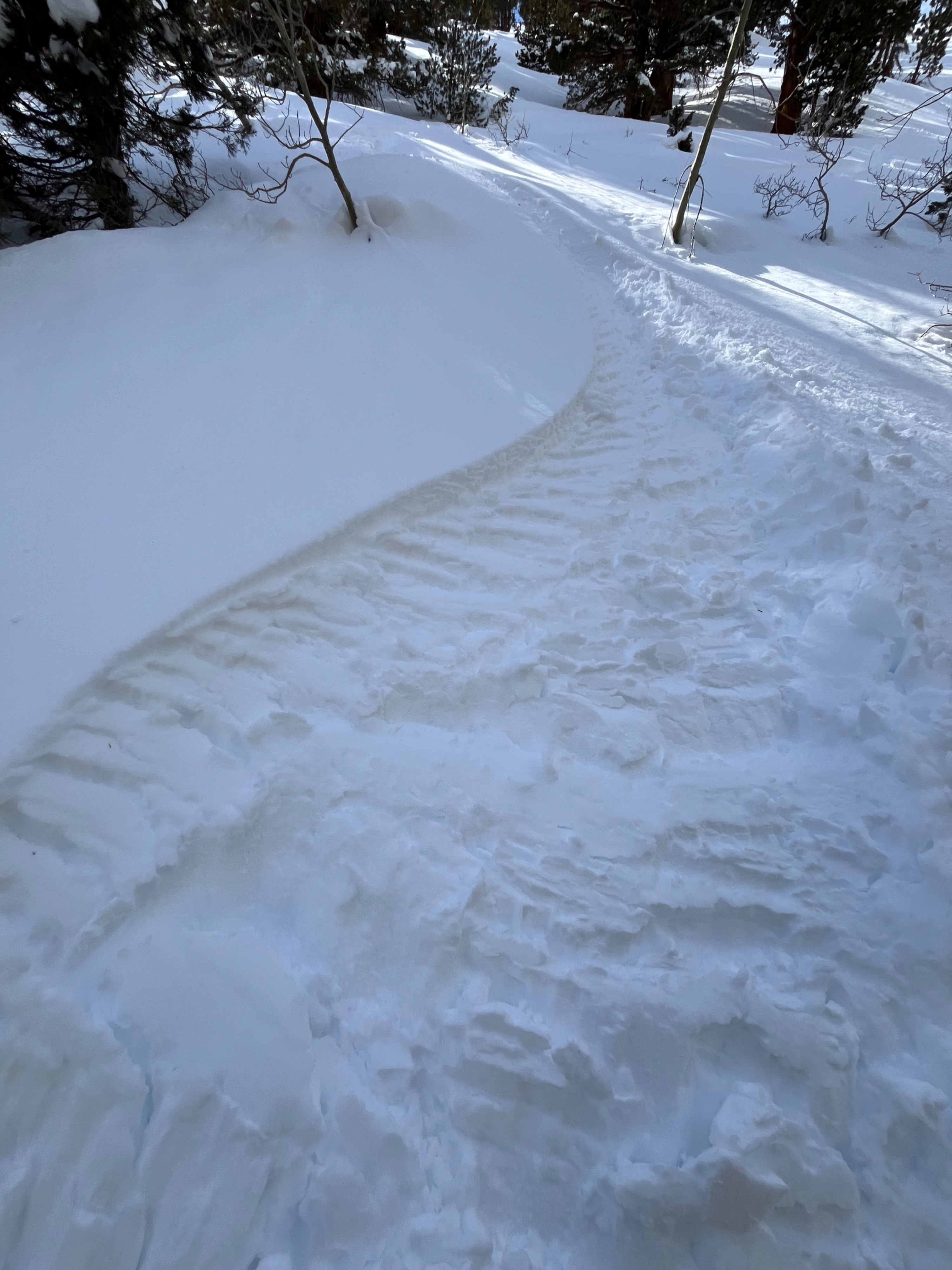
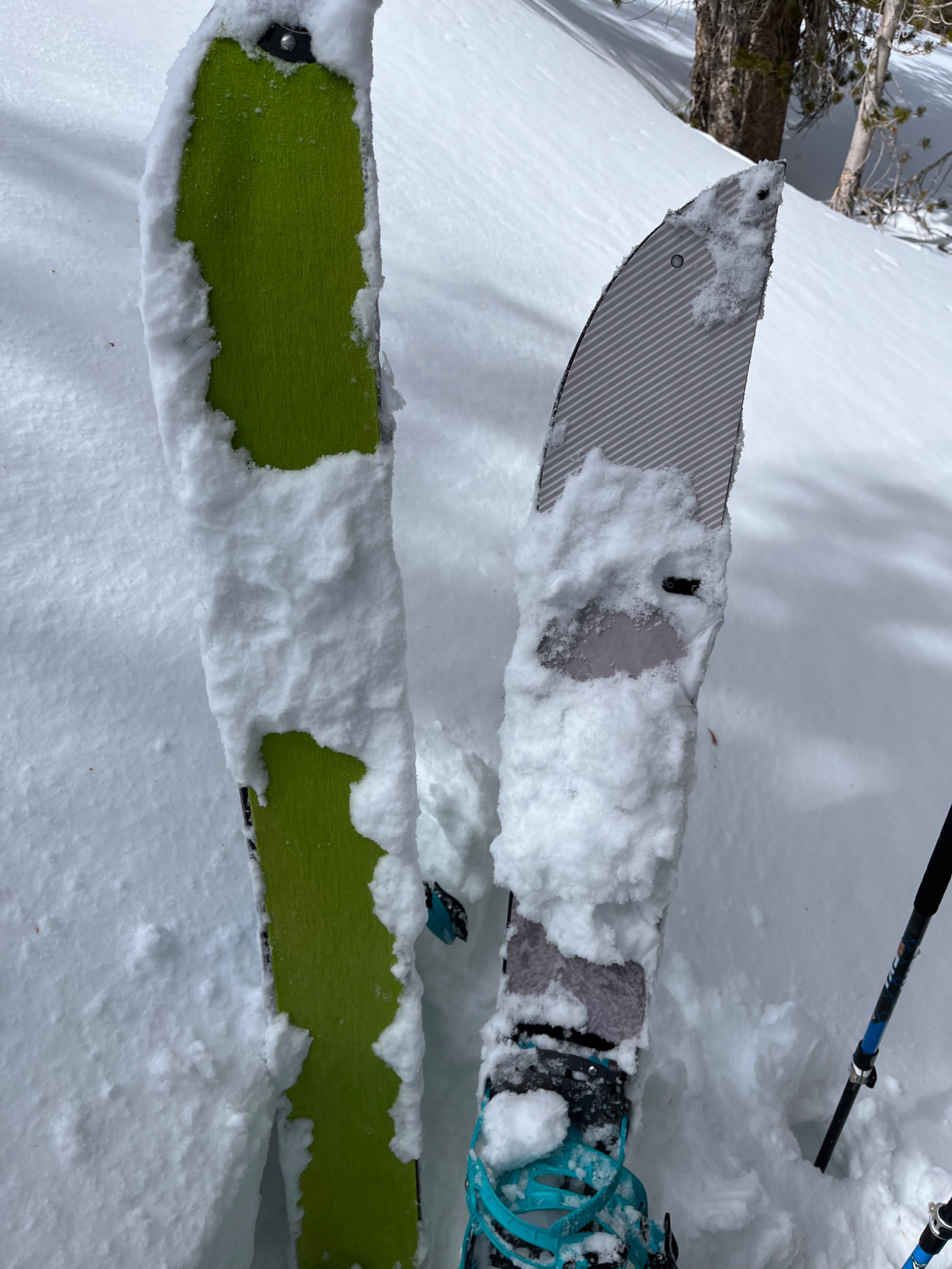
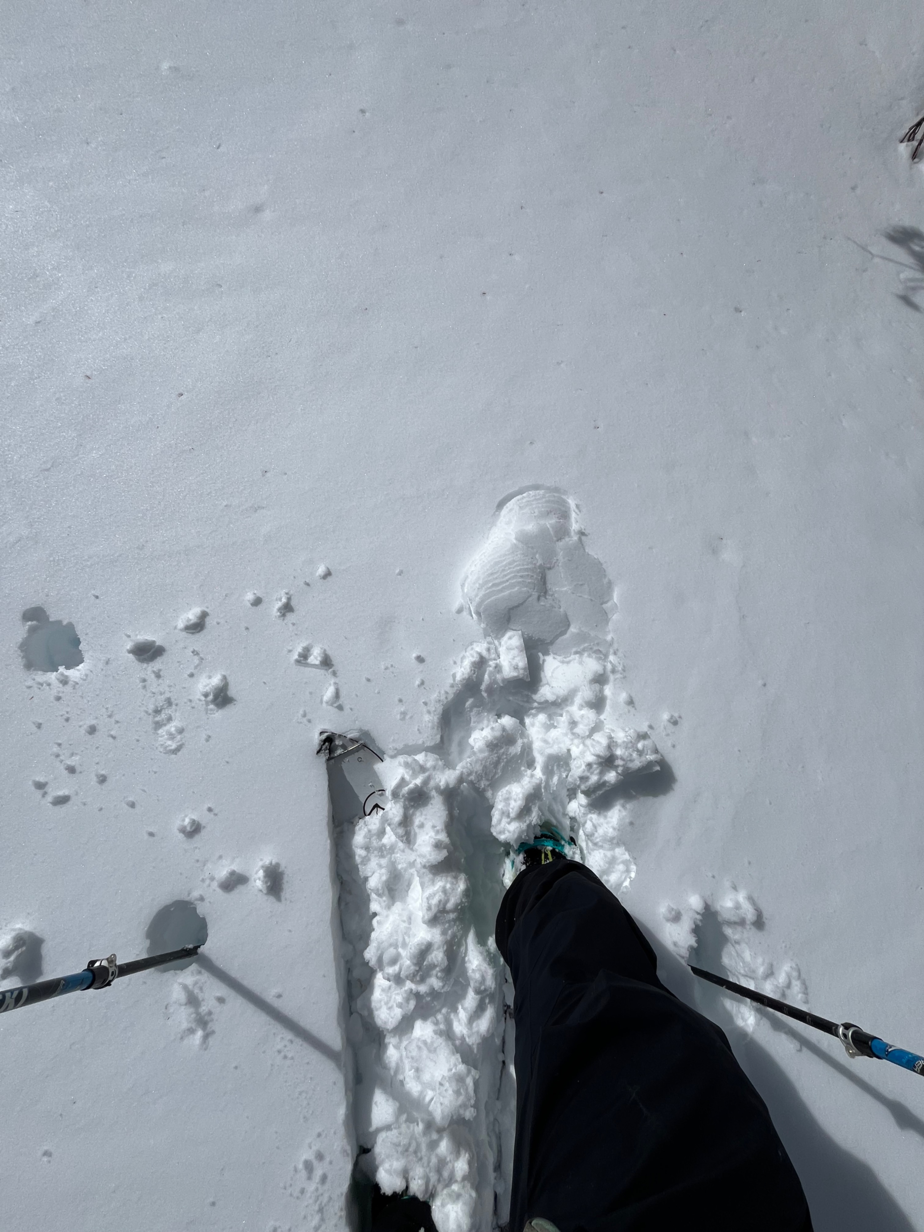
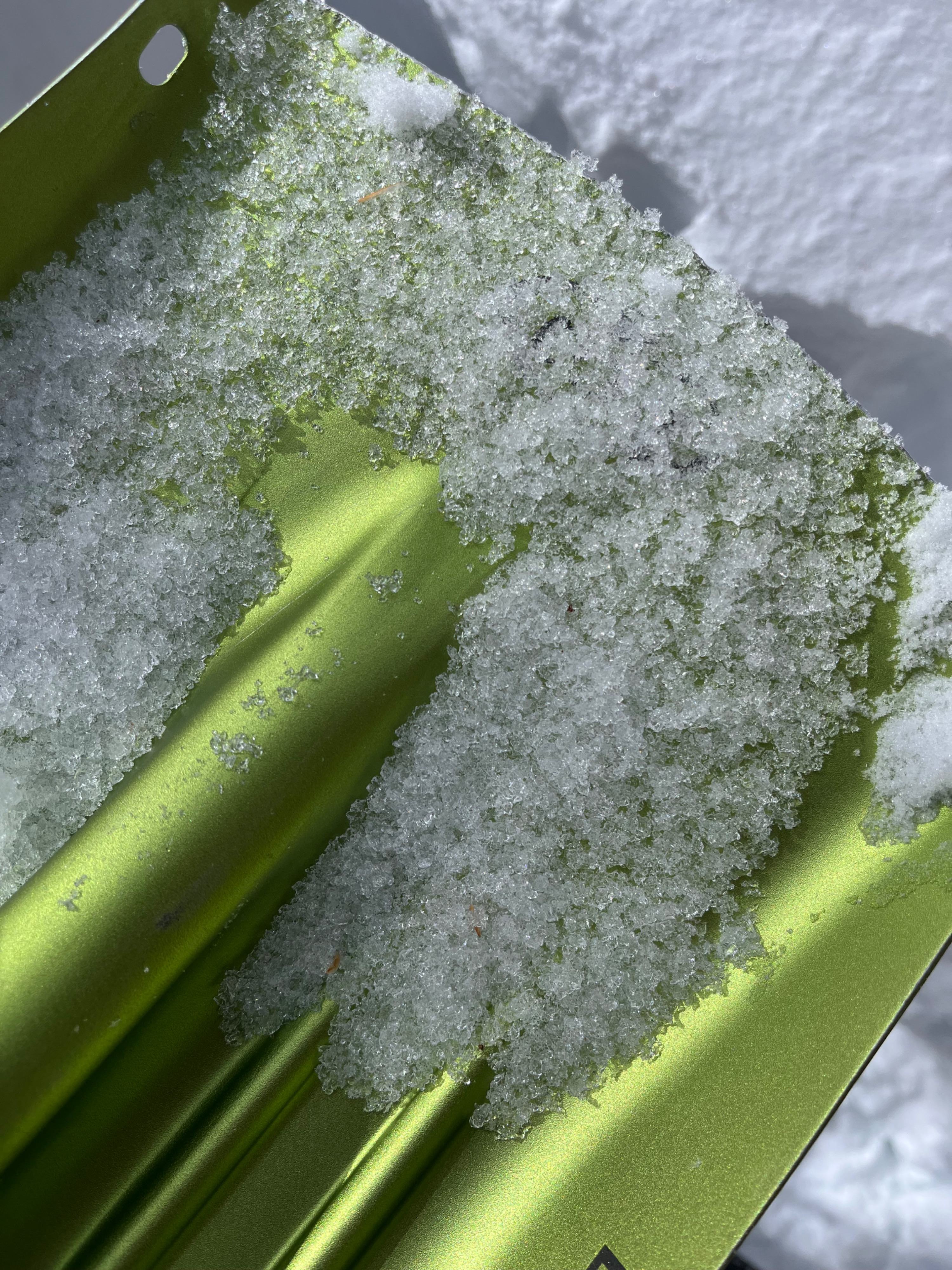
- Rock Creek held 10 - 55 cm of new snow between 8800' and 10100'. Travel on the east/south facing morraine was difficult as the new snow was transitioning by noon. 5 - 15 cm of surface snow as wet, with moist to dry snow beneath, above a thin, 4F hard melt freeze crust. Ski pen was up to 45 cm, and boot pen was up to 90 cm.
- Northerly terrain held cold, soft snow. A thin melt freeze crust was present beneath the new snow up to 10000'.
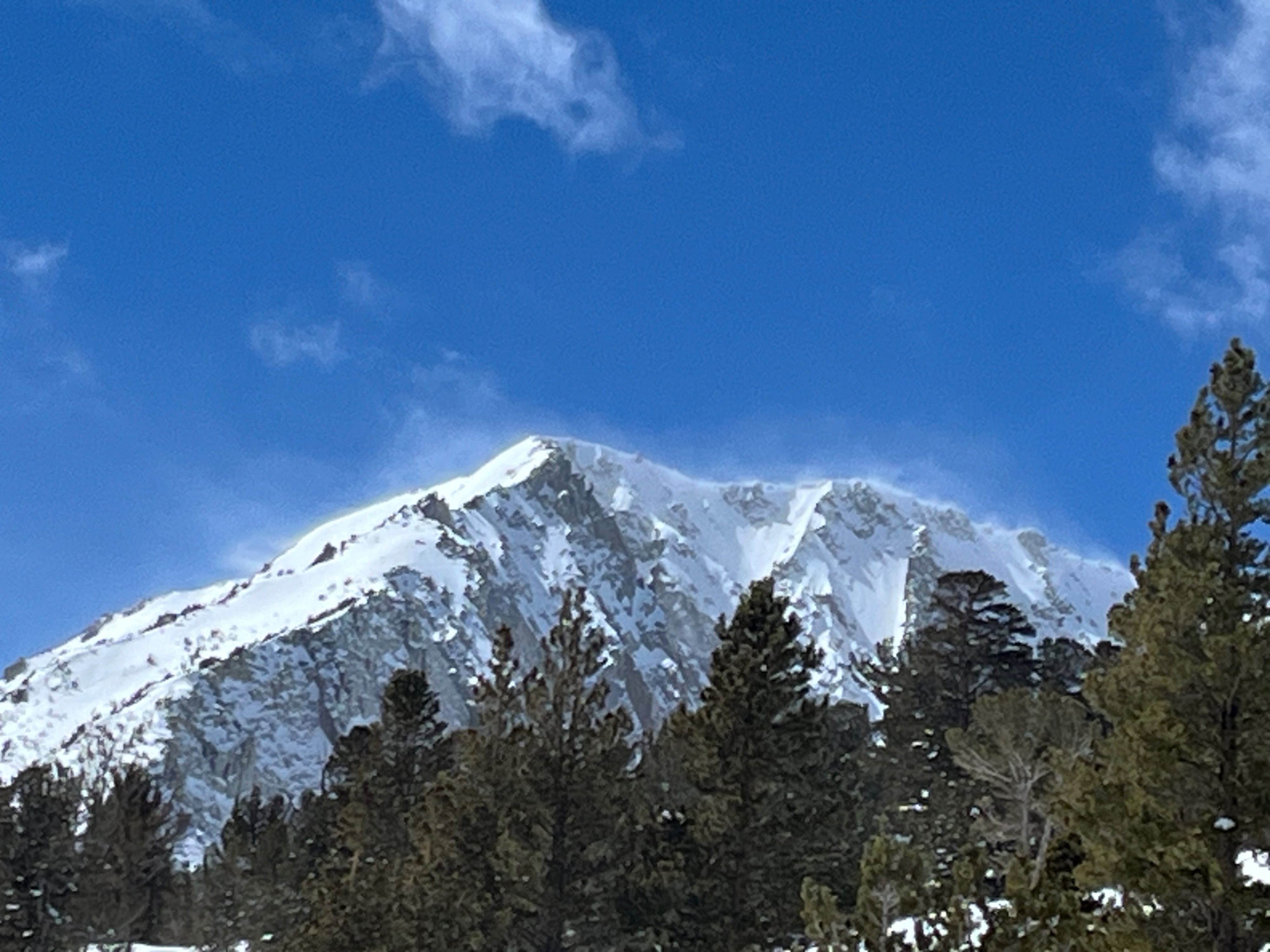
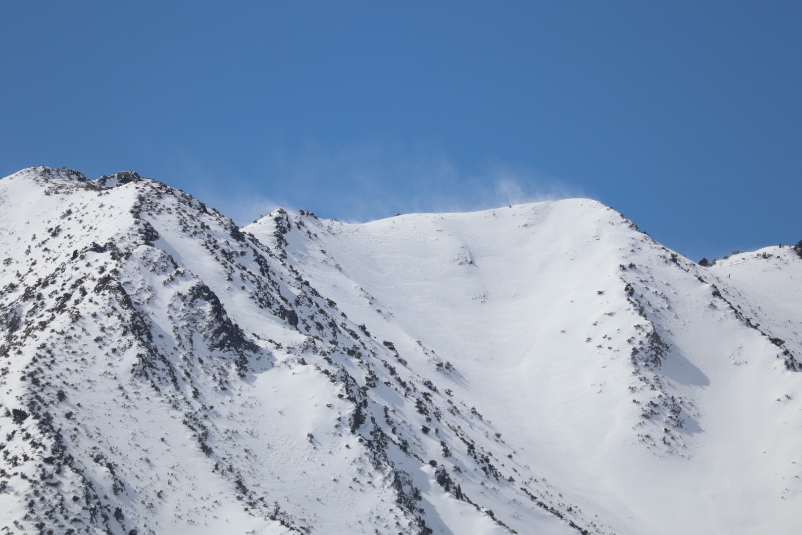
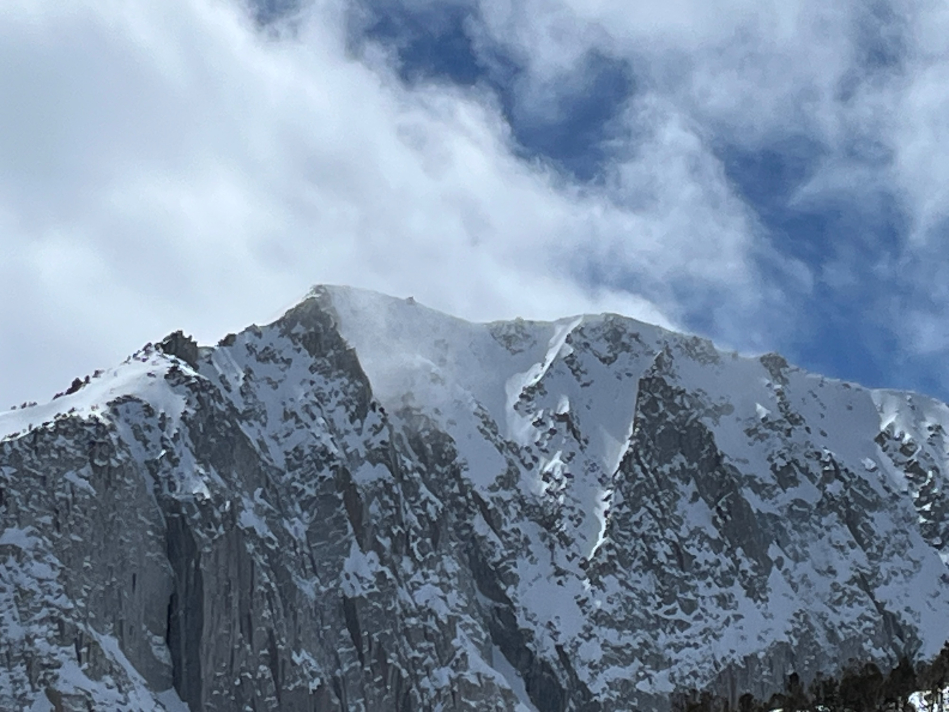
- High peaks in the area displayed intense blowing snow from the West, and the mountains towards the crest were socked in for most of the day.
- I found buried facets in the snowpack, with varied test results. See snowpack info for more information.
Weather
- Air Temp
- 37
- Cloud Cover
- broken
- Recent Snowfall
- up to 55 cm (leeward)
- Snow Avail For Transport
- large amounts
Warm, partly cloudy day with increasing winds out of the West. Higher peaks by the crest were socked in all day. West winds were ripping on high peaks in the area.
Snowpack
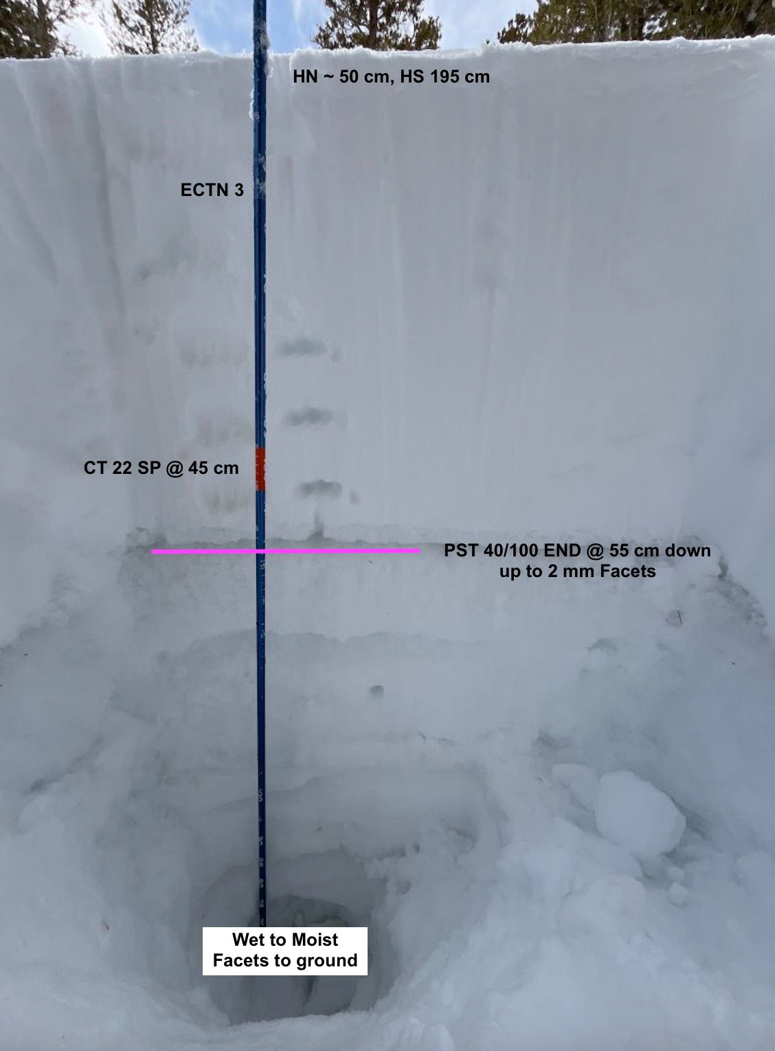
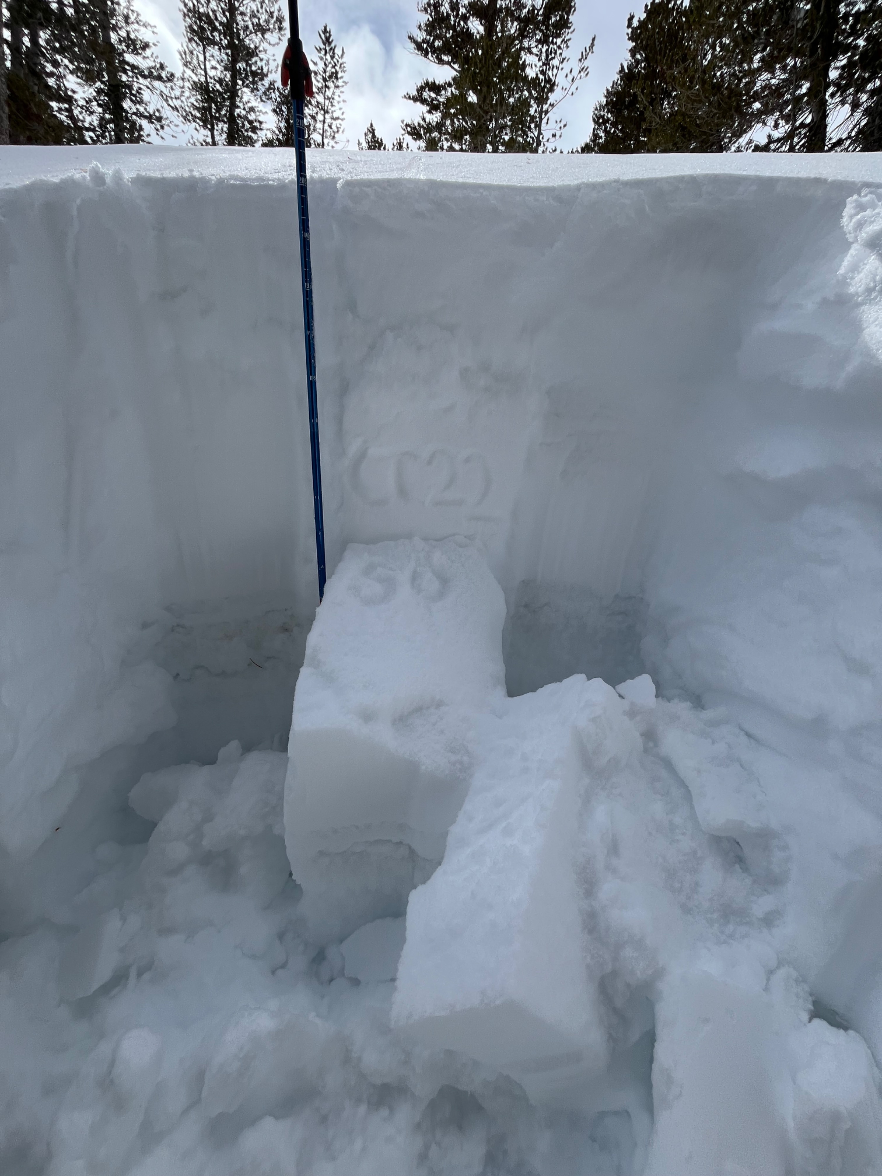
I dug on a NE aspect @ 10000'. Height of snow was 190 cm - 205 cm, and height of new snow was ~ 55 cm.
Test Results:
- CT 22 SP @ 45 cm down on a layer of graupel within the new storm snow
- ECTN 3 @ 10 cm on a slight density change within the new snow
- PST 40/100 END @ 55 cm down. The layer of facets was up to 1 mm. The facets sit below a crust - this crust is what our new snow is sitting on.
I found an Ice layer ~ 100 cm down with moist to wet facets beneath all the way to the ground.