

Quick report
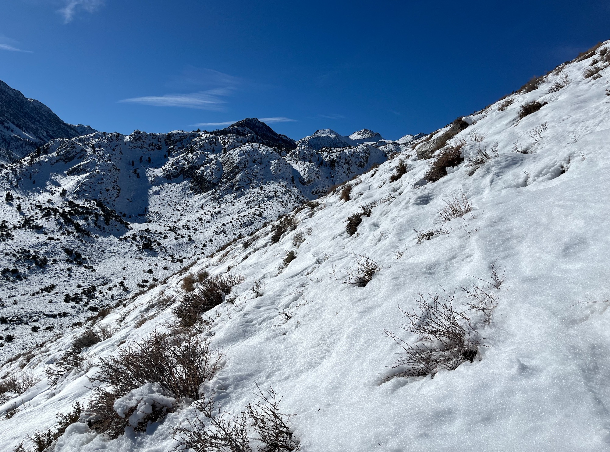
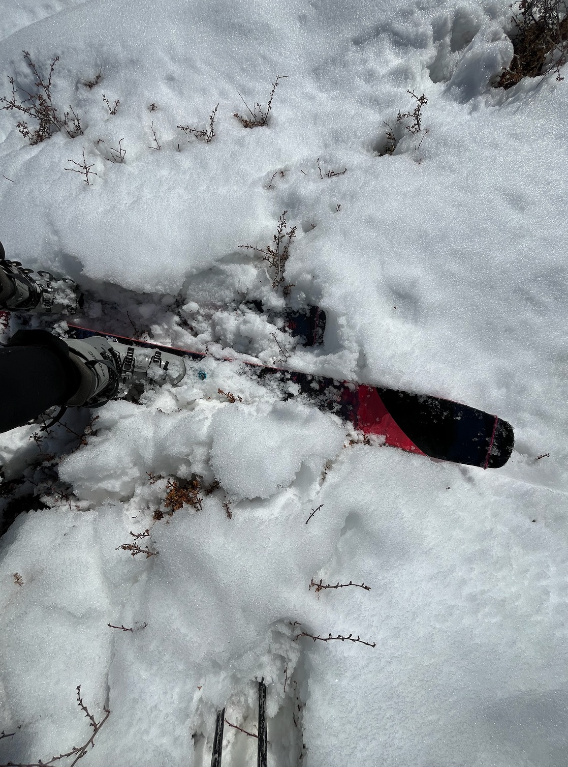
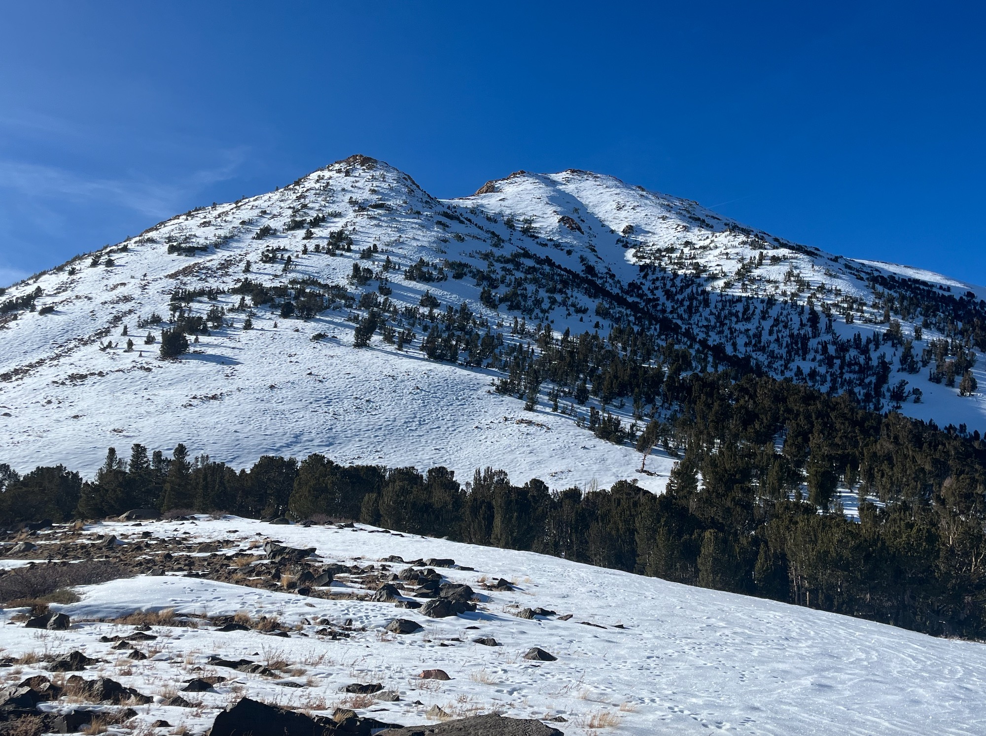
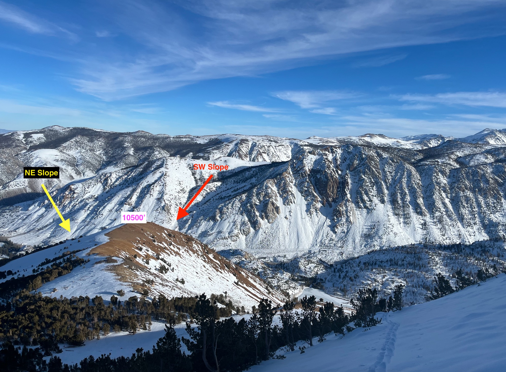
I traveled in the southern reaches of our forecast zone today to get an understanding on how the snowpack down there is responding to the high pressure, post storm. I found variable conditions, and travel below 9500' was difficult. While there is coverage, the snowpack below 9500' is not very deep. Travel is punchy and you'll need to navigate sage/bushes/rocks, etc.
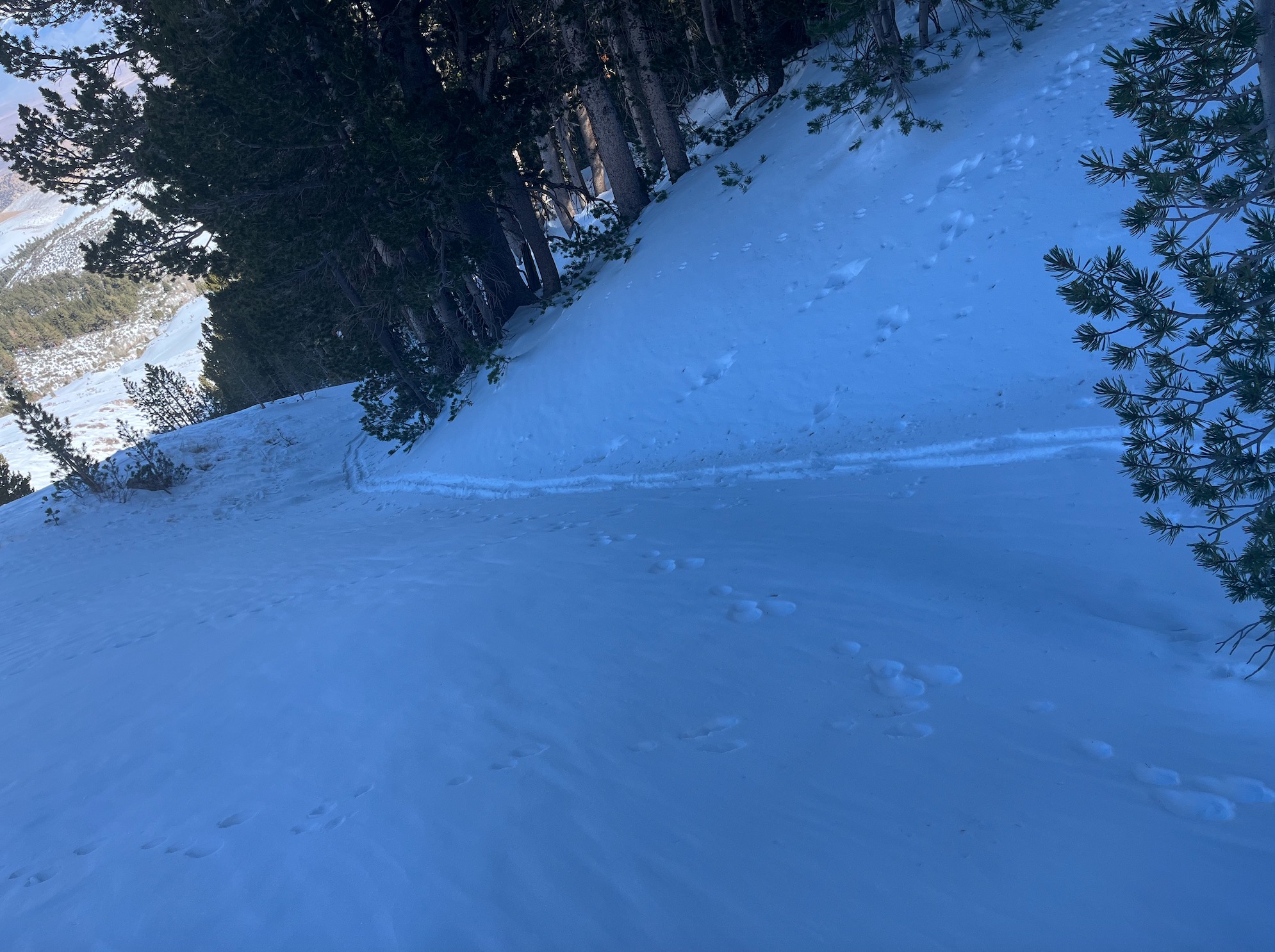
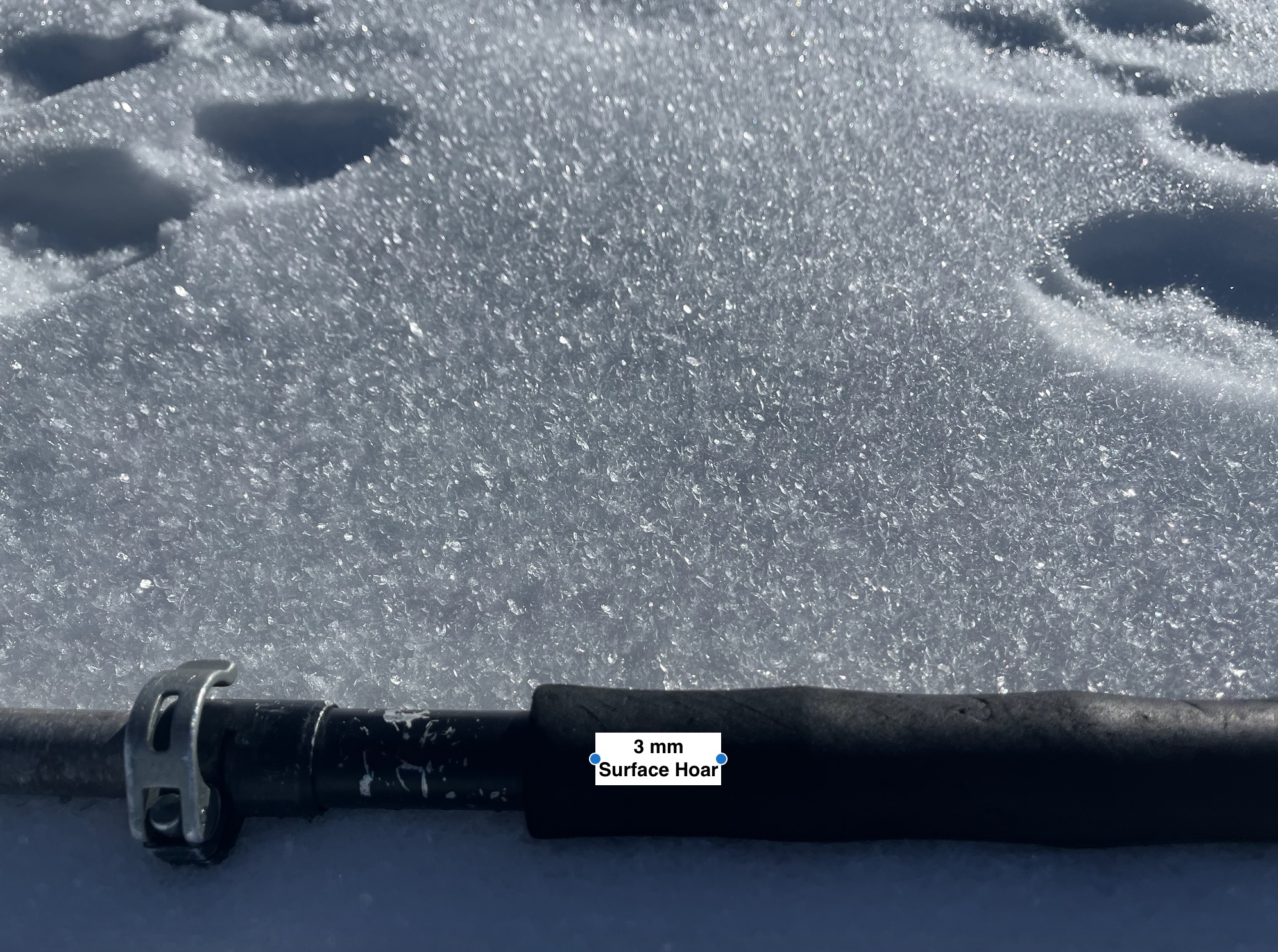
I encountered decomposing wind slabs, surface hoar, near surface facets, and breakable crust during my travels today. The snowpack was thinnest near ridgelines and at higher elevations exposed to wind, and at lower elevations that have been exposed to wind, and solar/heat.
Unsure if from warming event in last 48 hrs, or prior.
Weather
- Air Temp
- 37/28/35
- Cloud Cover
- clear
- Snow Avail For Transport
- small smounts
Above freezing temps @ 8K by 10 am. It was warm, calm, and sunny today. Shady slopes remained cooler, and freezing line was somewhere around 10 - 10.5K today. Clouds scattered by the afternoon. -SR
Snowpack
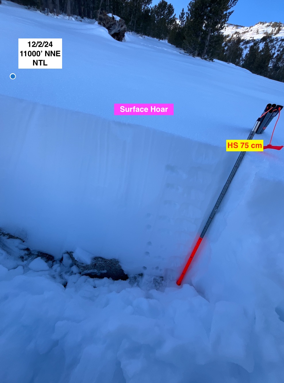
HS variable 0 - 75 cm
Slopes below 10k had breakable crust that decomposed only in direct sun/below 9000' today. Shaded slopes above 10K (N/NE) held no crust, and either Near Surface Facets, or Surface Hoar!
Isolated, inconsistent areas with basal facets dispersed amongst sage/rocks above 10K.
Snowpack is right side up in areas I traveled today, minus crust (all slopes below 10K) or presence of decomposing old wind slab on some NE faces.
NE faces just beneath ridges stripped/thin, deposits lower down on slopes.
Avalanche
- Size
- D1 R1
- Type
- WL
- Aspect
- N
- Trigger
- N
- Elevation
- 9000 ft
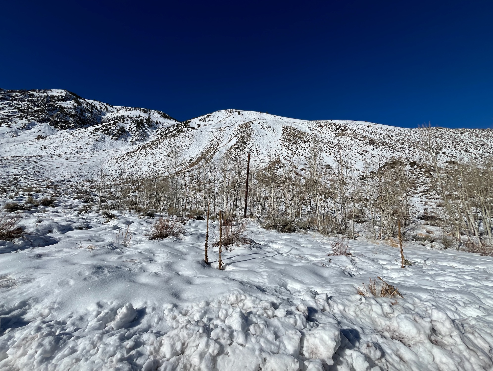
Many unknowns, appears recent, wet avalanche activity on a N slope below 10K.