
Quick report
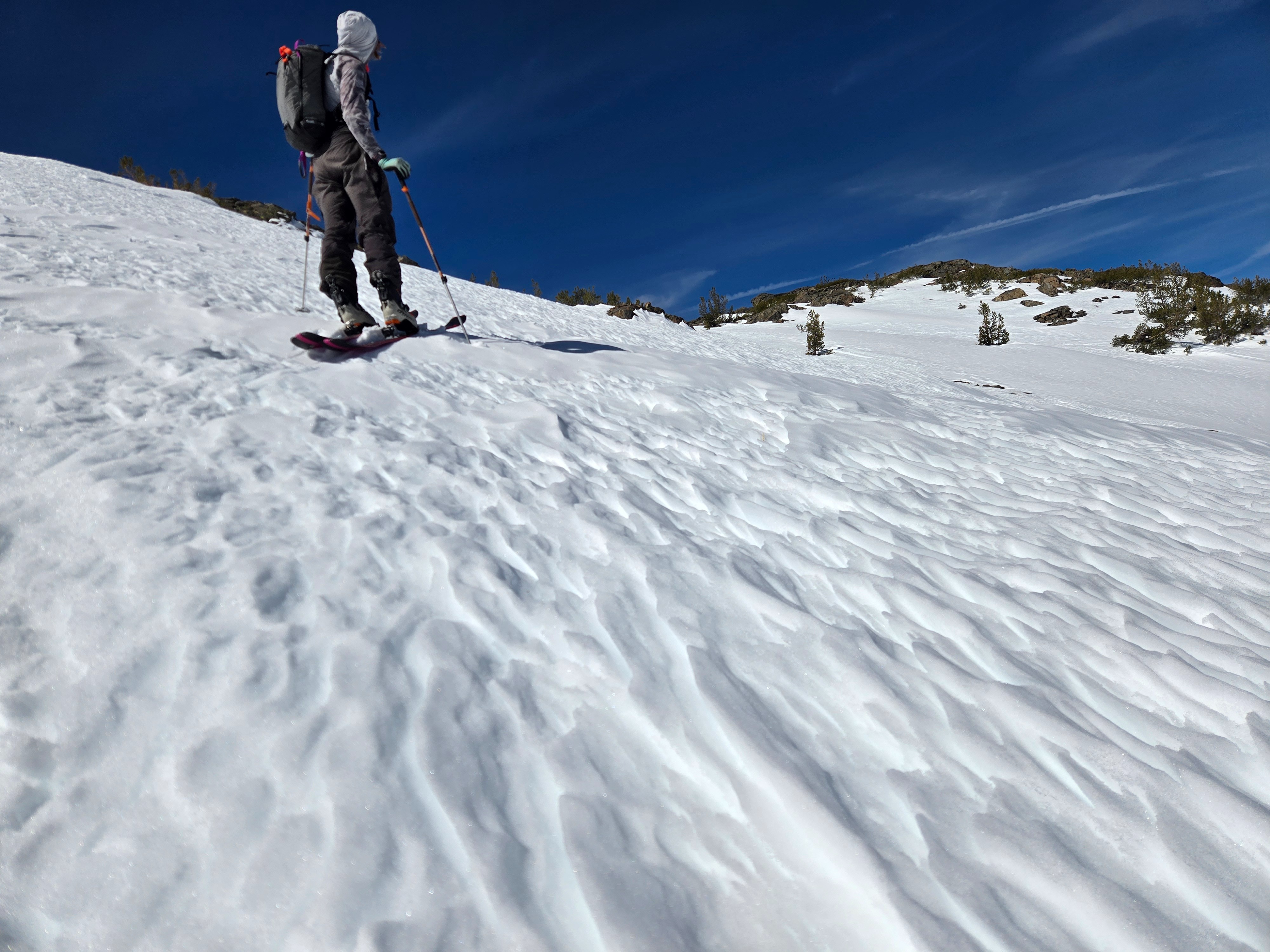
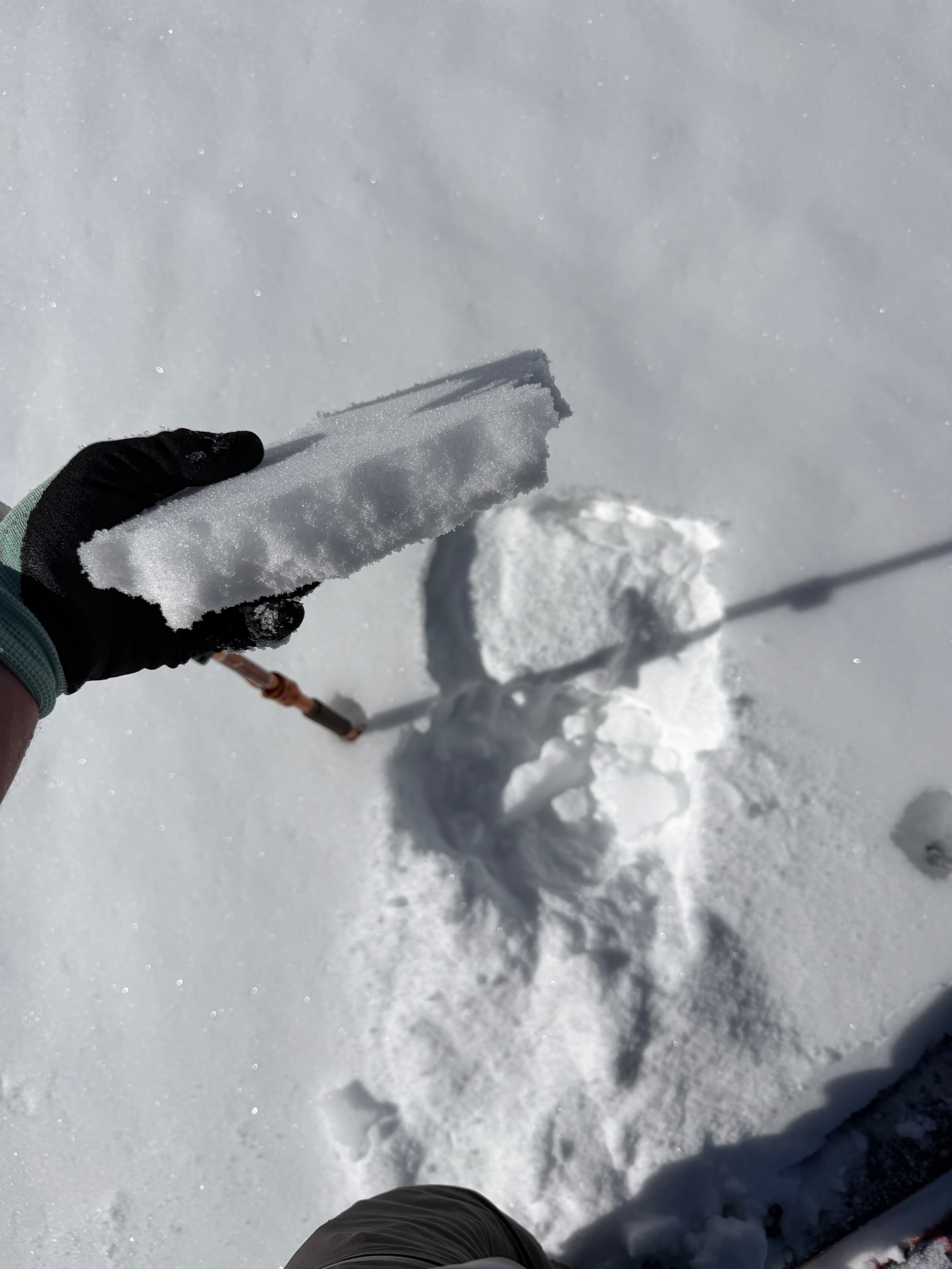
Our goals today were to monitor warming at middle and upper elevations in a portion of the forecast zone that received the high-end snowfall during last week's storm. Last night's freeze was minimal, but there was a melt freeze crust capping our recent wind-drifted snow. By 9:30 am, this melt freeze crust was already softening on all aspects up to 10500', and the surface snow was transitioning to wet.
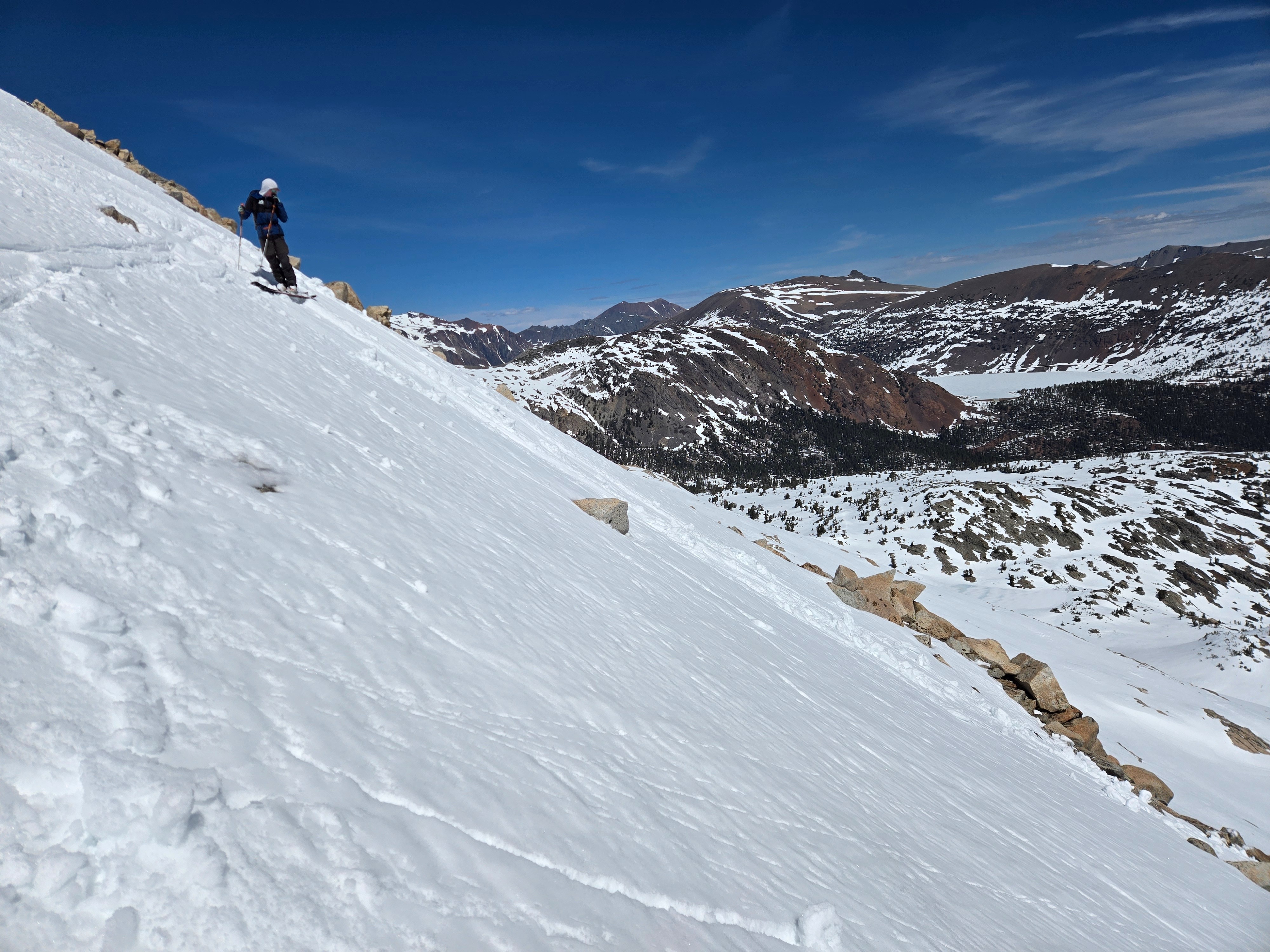
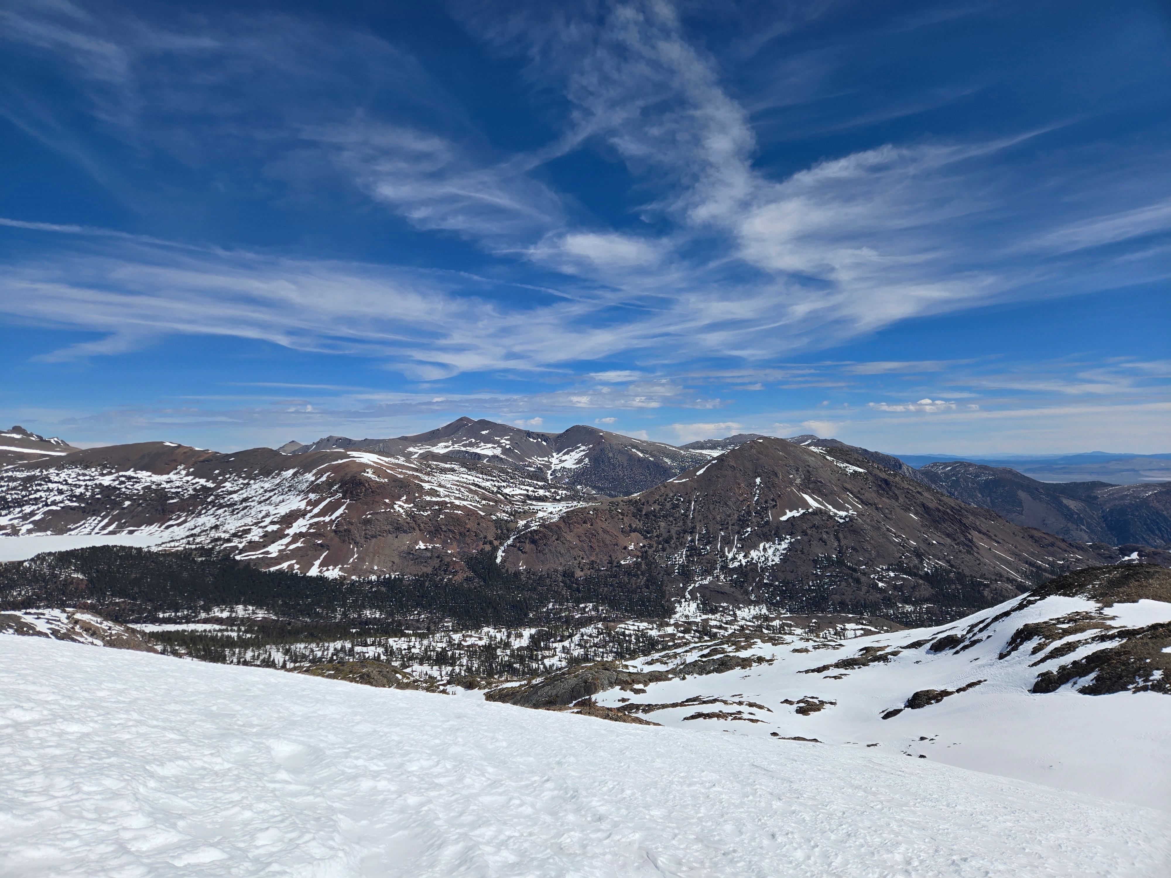
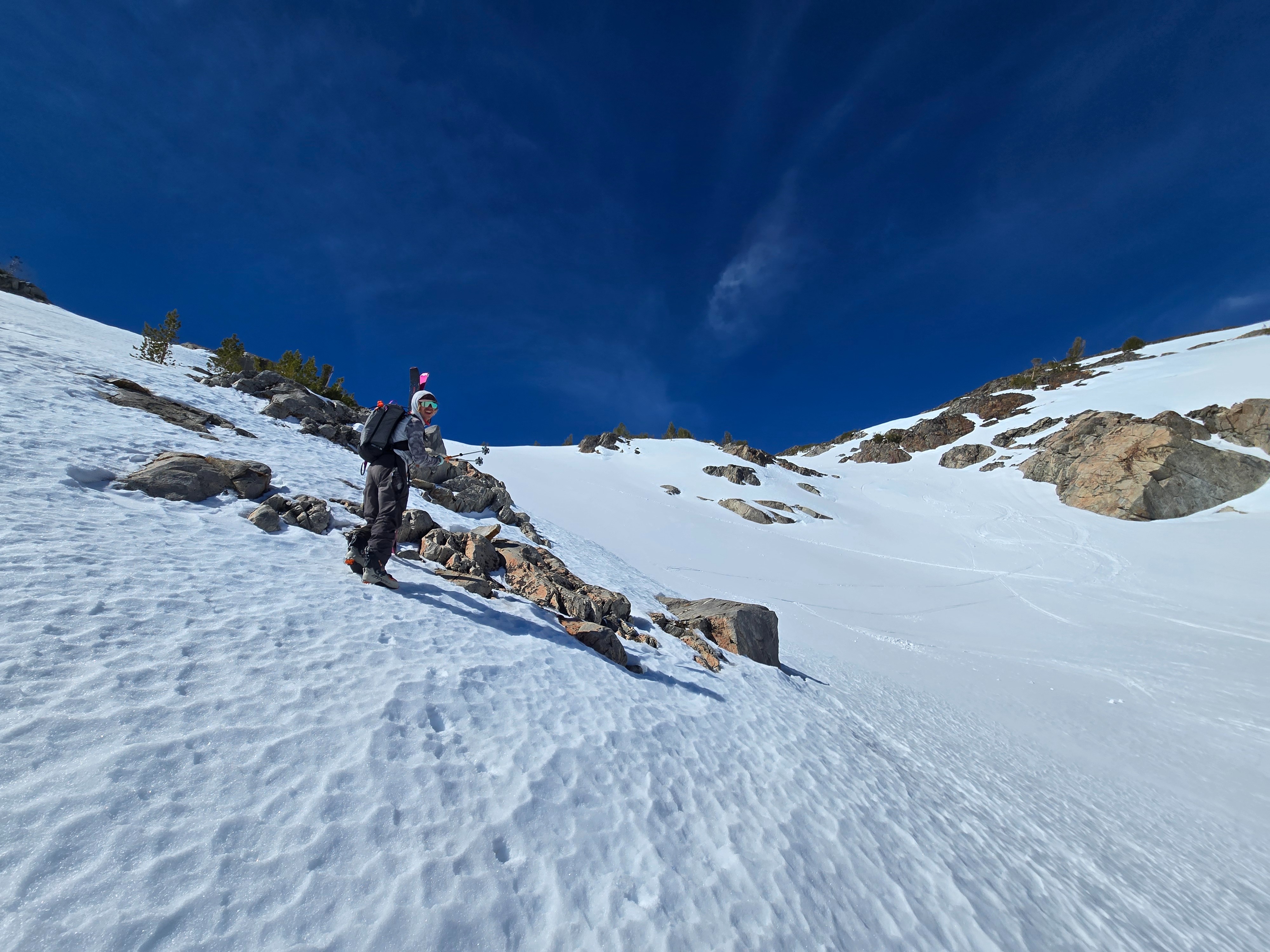
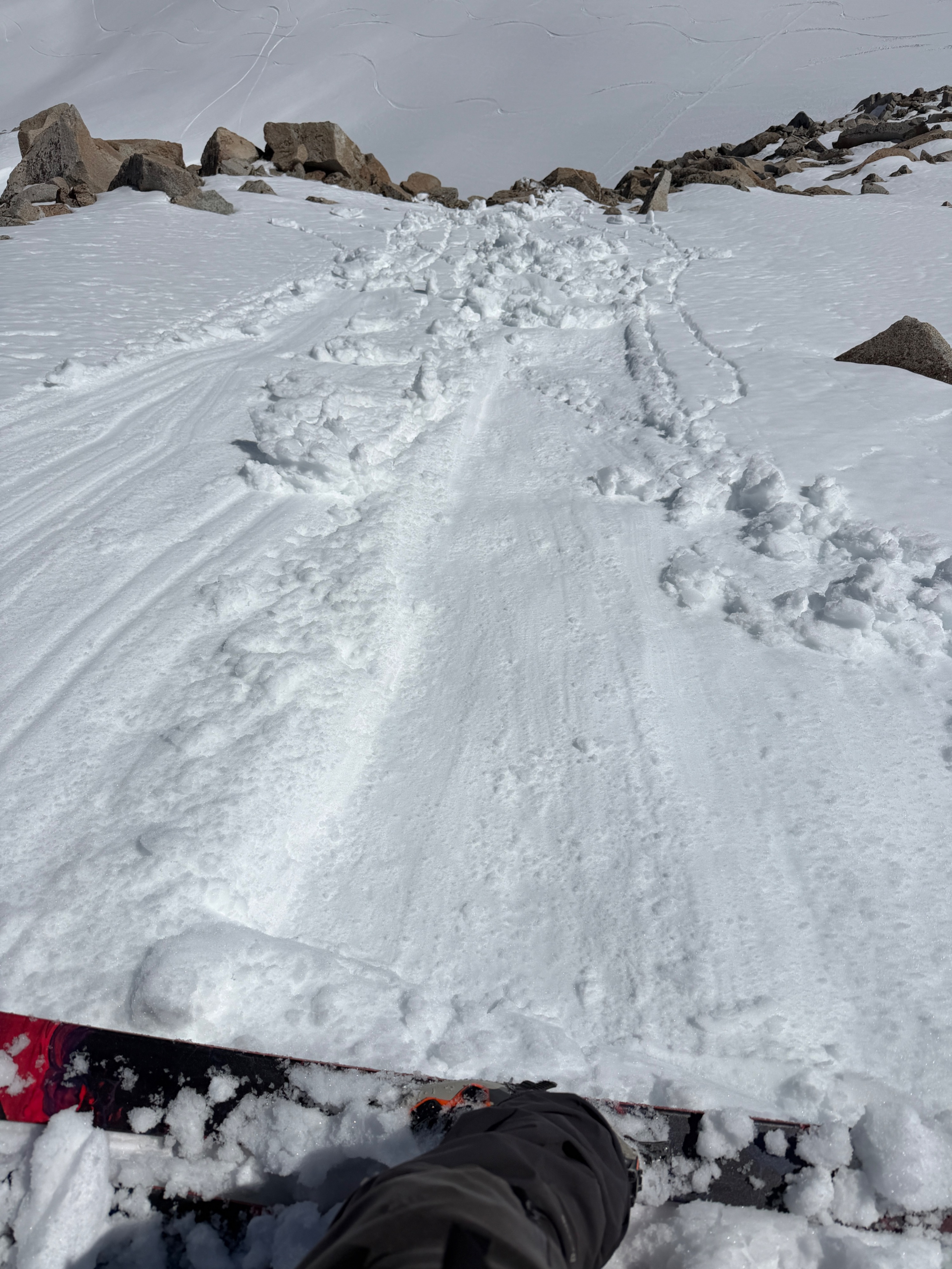
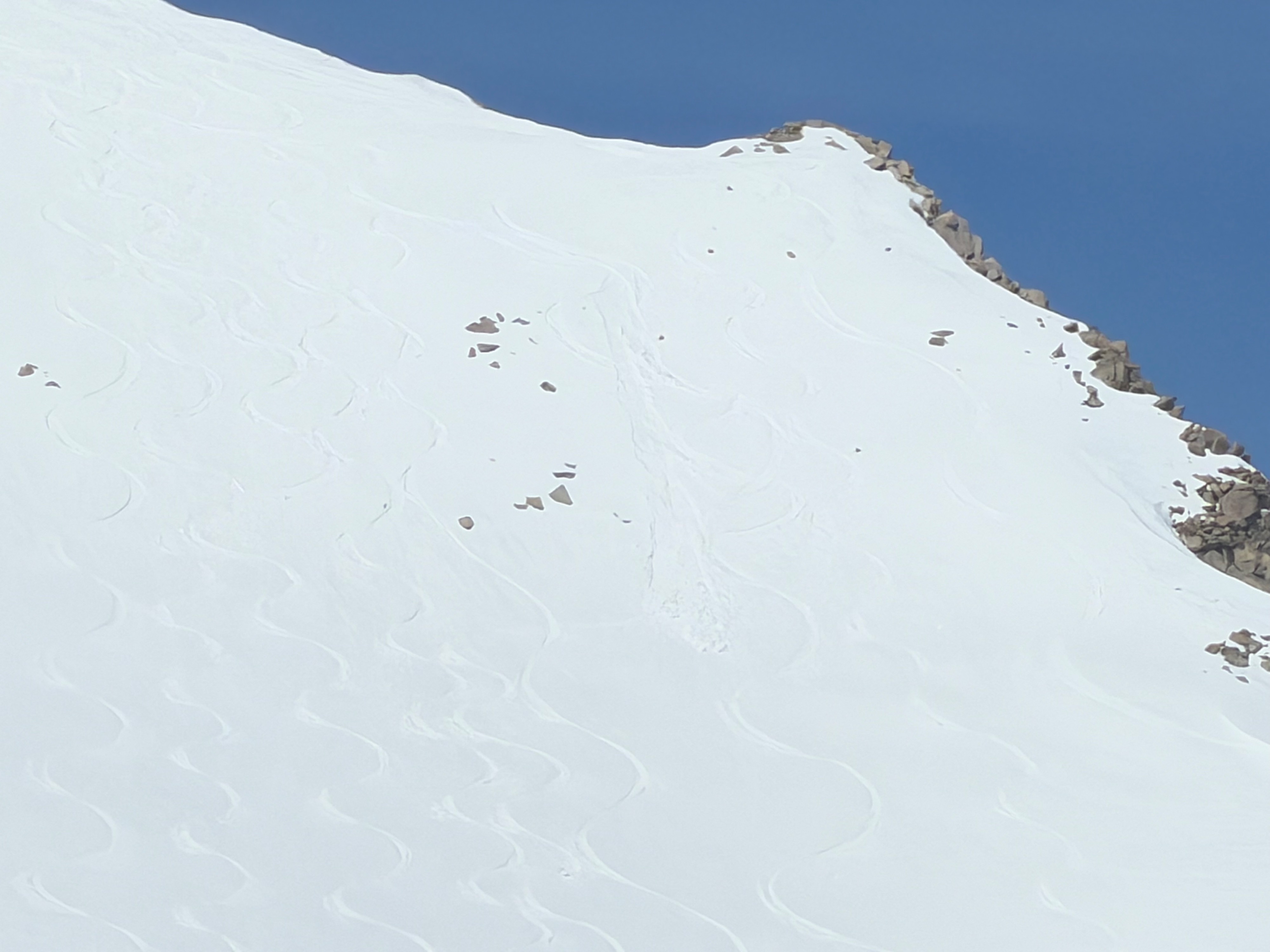
As we continued to gain elevation, we found up to 40cm of drifted snow in favorable catchment areas. This drifted snow was transitioning quickly and was wet at the surface on sunny slopes at all elevations we traveled. We began to descend around 11:30 and contoured around a bowl feature. We found dry snow on a due north aspect around 11600', moist surface snow on northeast aspect around 11500', and wet surface snow on easterly aspects around 11400'. We found it easy to trigger small loose wet avalanches on east-facing aspects in the alpine by 12:00 pm.
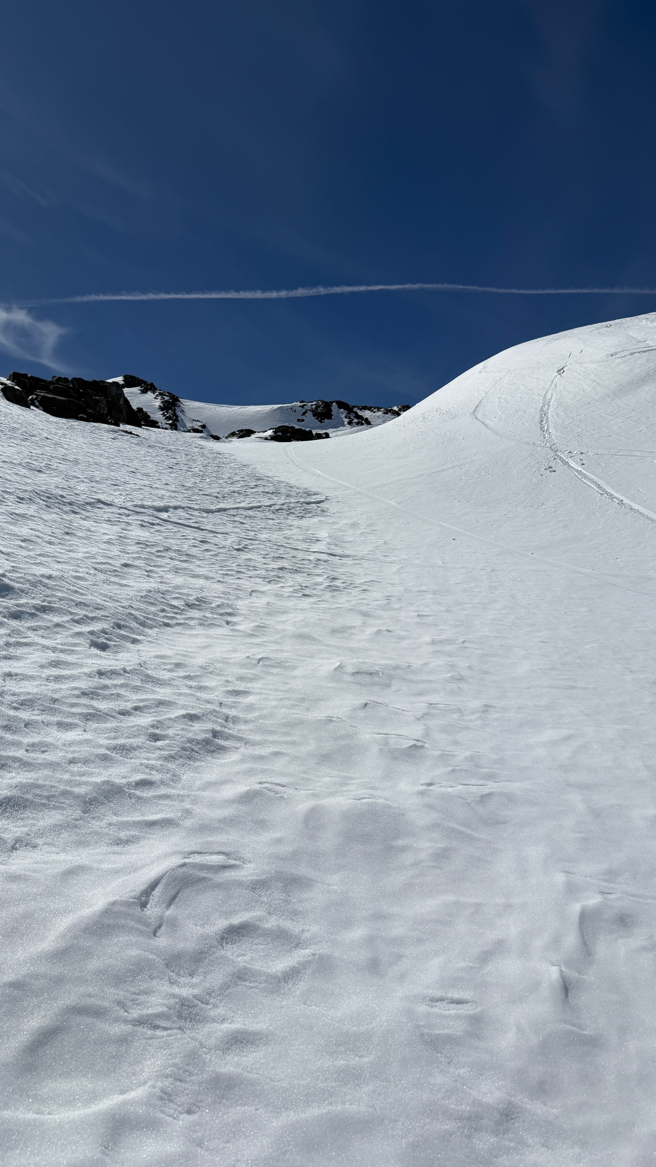
We found only concerningly wet snow in areas with our most recent wind-drifted snow at the surface. Old surfaces that were eroded by last week's extreme winds did not become concerningly wet during our tour, and only began to soften in the top few centimeters.
Descending through increasingly wet snow was a hazard in its own right. Hot, wet, manky snow does not, in fact, ski like corn. Safer, less tiresome travel alternatives can be easily chosen by moving off smooth wind deposits and onto old, eroded surfaces.
Small, loose wet avalanches became easy to trigger around noon on steep, sunny slopes holding recently drifted snow at all elevations. Northeast-facing slopes were just beginning to transition to moist around noon in the alpine.Weather
- Air Temp
- 57
- Cloud Cover
- scattered
- Wind Loading
- none
- Recent Snowfall
- 0
- Snow Avail For Transport
- small smounts
Hot. Air temperatures above freezing throughout our tour. We measured a shaded air temp of 57° F at 9500' around 1 pm. Light westerly breeze, and minimal cloud cover.
Snowpack
Coverage below 9500' in the Tioga Pass area is patchy and discontinuous.
Recently drifted snow from 3/31-4/2 has primarily been drifted onto NW-N-E-SE aspects near and above treeline. We found drifts up to 40cm deep, and transitioning to wet on all aspects apart from steep, due north aspects above 10800', where the surface remained dry at 12:00 pm. We departed the field relatively early, and with increasingly warm air temperatures, it's likely only the highest, steep north-facing aspects will be spared from today's warming.
Wind-drifted snow is discontinuous across similar aspects and elevations, and has a generally patchy distribution within specific terrain. While deep pockets held ~40cm of loose wet ammo, in many places, the depth of recently drifted snow varied over very small spatial scales.
Avalanche
- Size
- D1
- Count
- 2
- Aspect
- E
- Trigger
- AS
- Elevation
- 11700 ft
1 likely skier-triggered, small loose wet avalanche that appeared to have run yesterday. 4 intentionally triggered, small, loose wet avalanches on east-facing terrain in the alpine today.