


Quick report
- Cracking
- specific
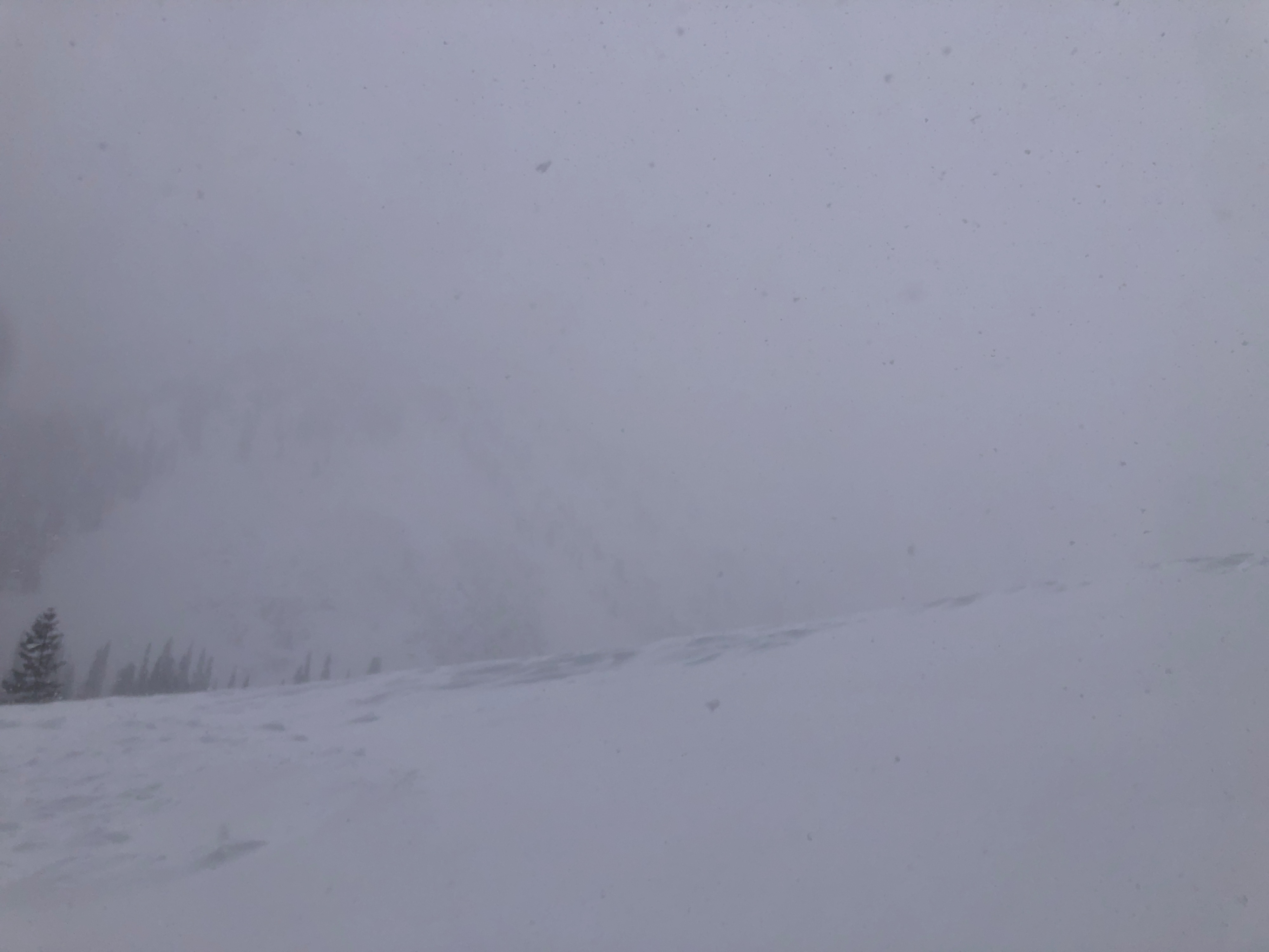
When I arrived to Mill City, skies were partly cloudy, winds were moderate, and there was a trace of snow. Within the next 30 minutes, snowfall rates and wind speeds picked up significantly. Things fluctuated for a bit, and then by noon intense conditions were consistent in the area. Moderate to extreme winds and S1 - S2 snowfall.
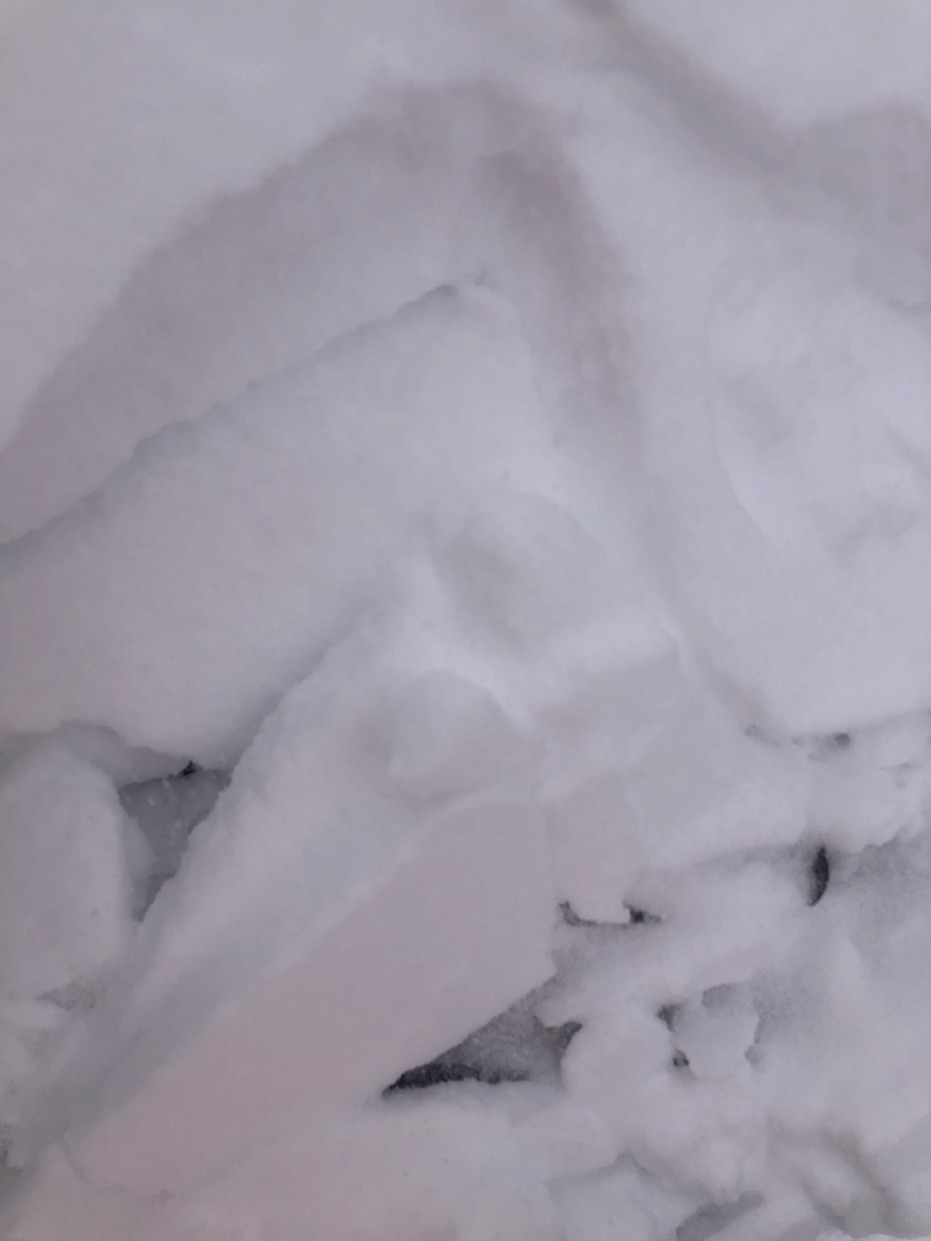
New snow is falling on a variety of surfaces. There is a thin crust, sometimes supportable sometimes not, from the last 24 hours up to 8700', @ least. That is as high as I was able to get today, due to lack of visibility, extreme winds, and intense conditions where I traveled. There are many layers within the snow from the last 24 hours, including graupel. As wind and snow continue to load surfaces, soft slab instabilities will increase in depth and reactivity in relation to increasing wind and snowfall rates.
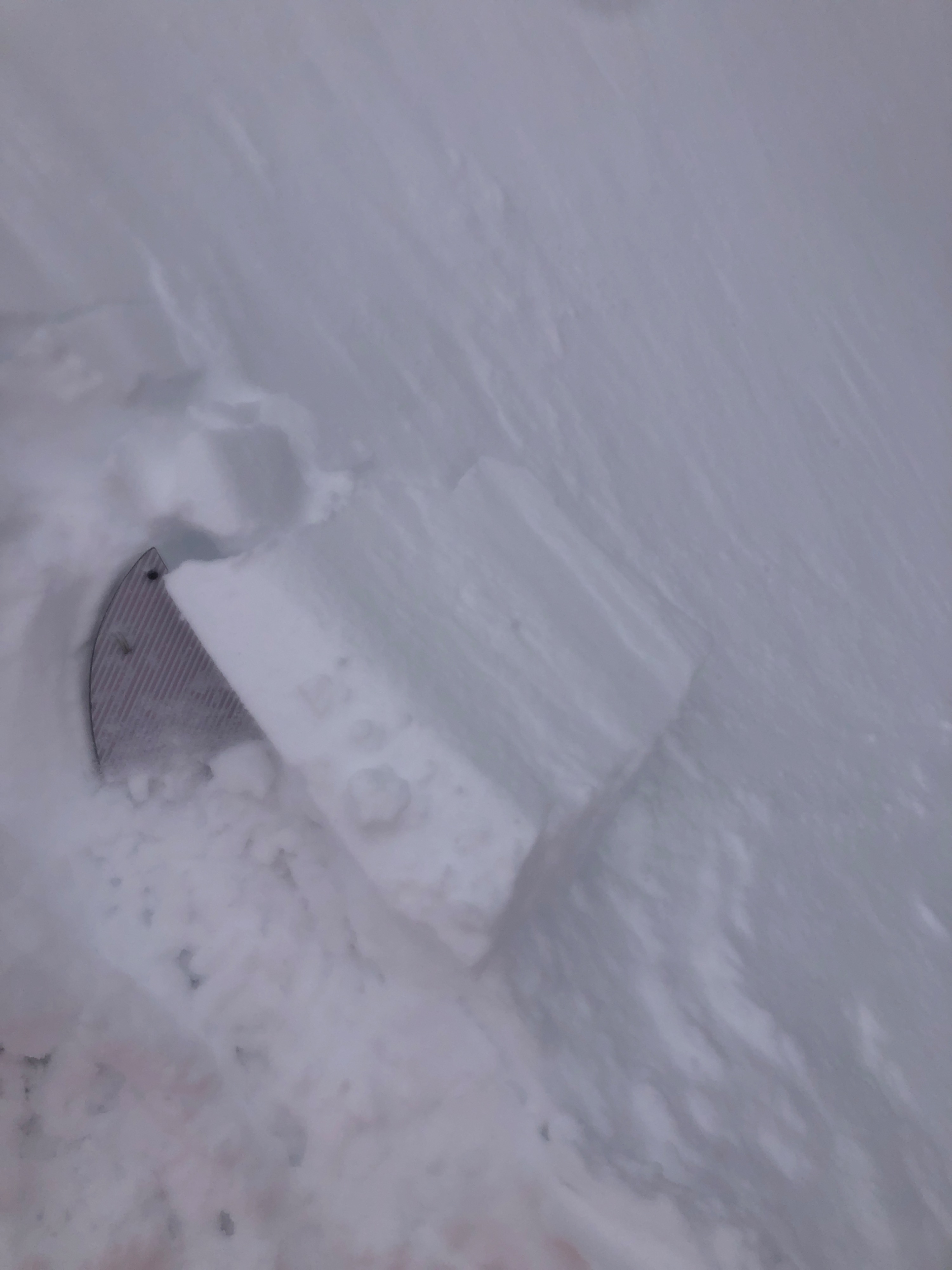
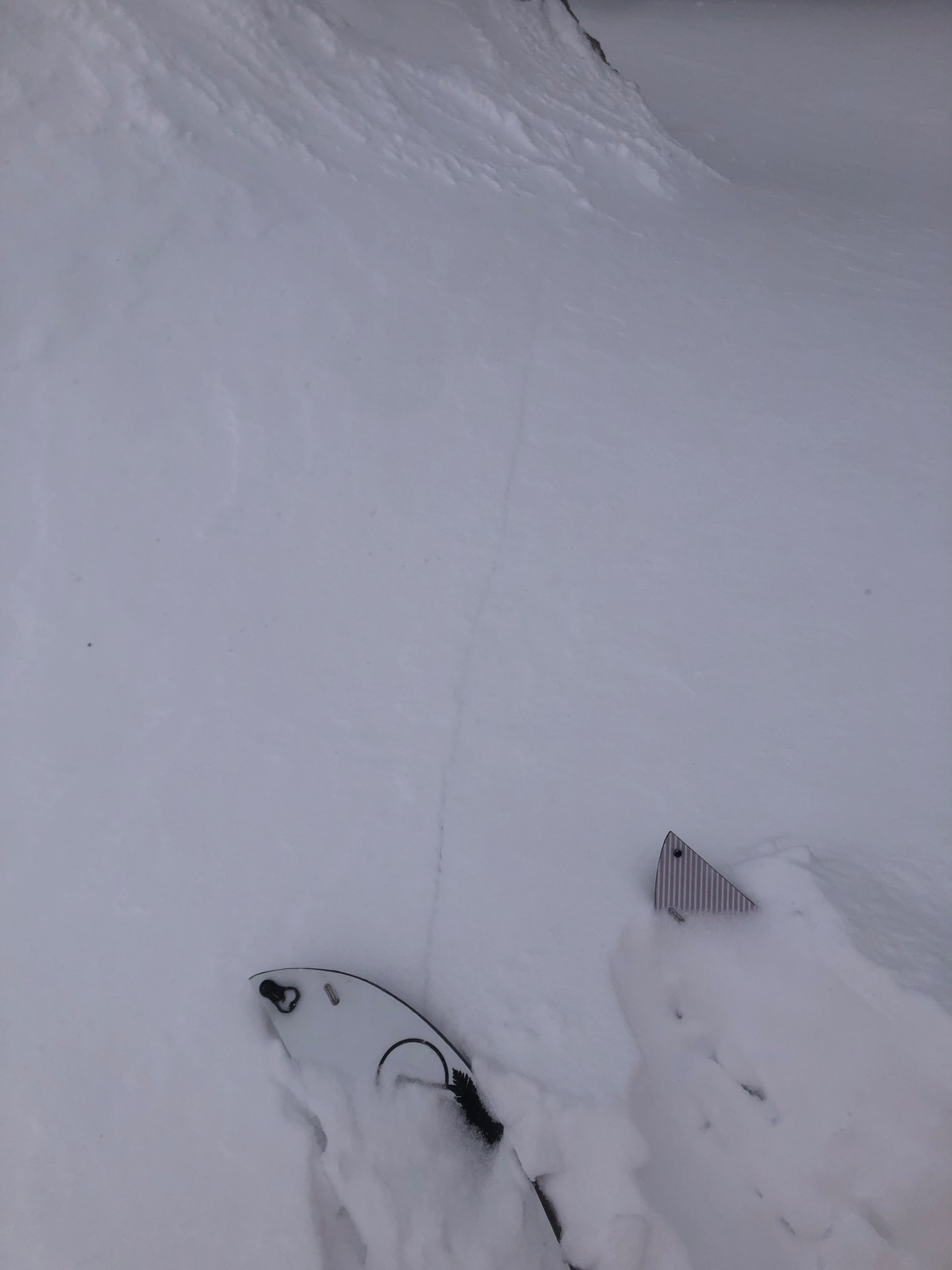
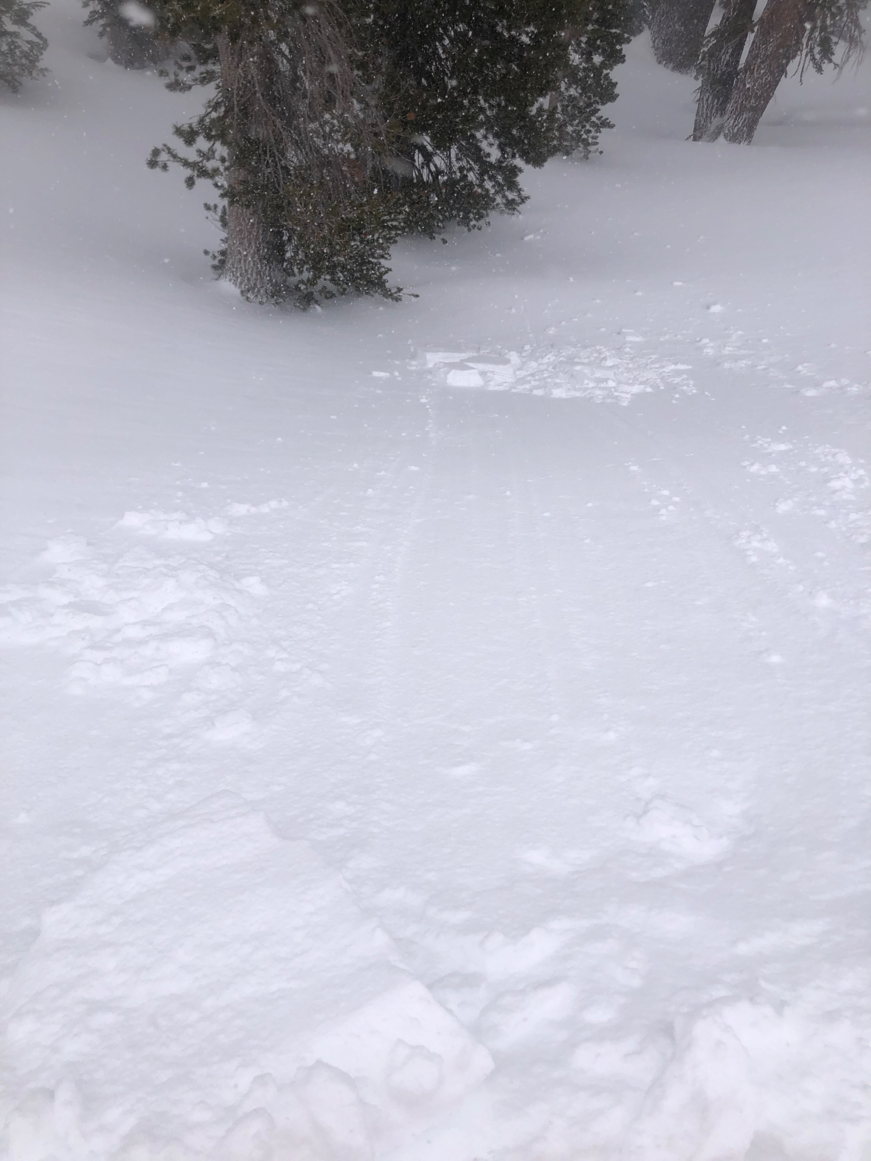
I was able to produce shooting cracks up to 1.5 m, and small soft slabs on test slopes up to 12" deep.
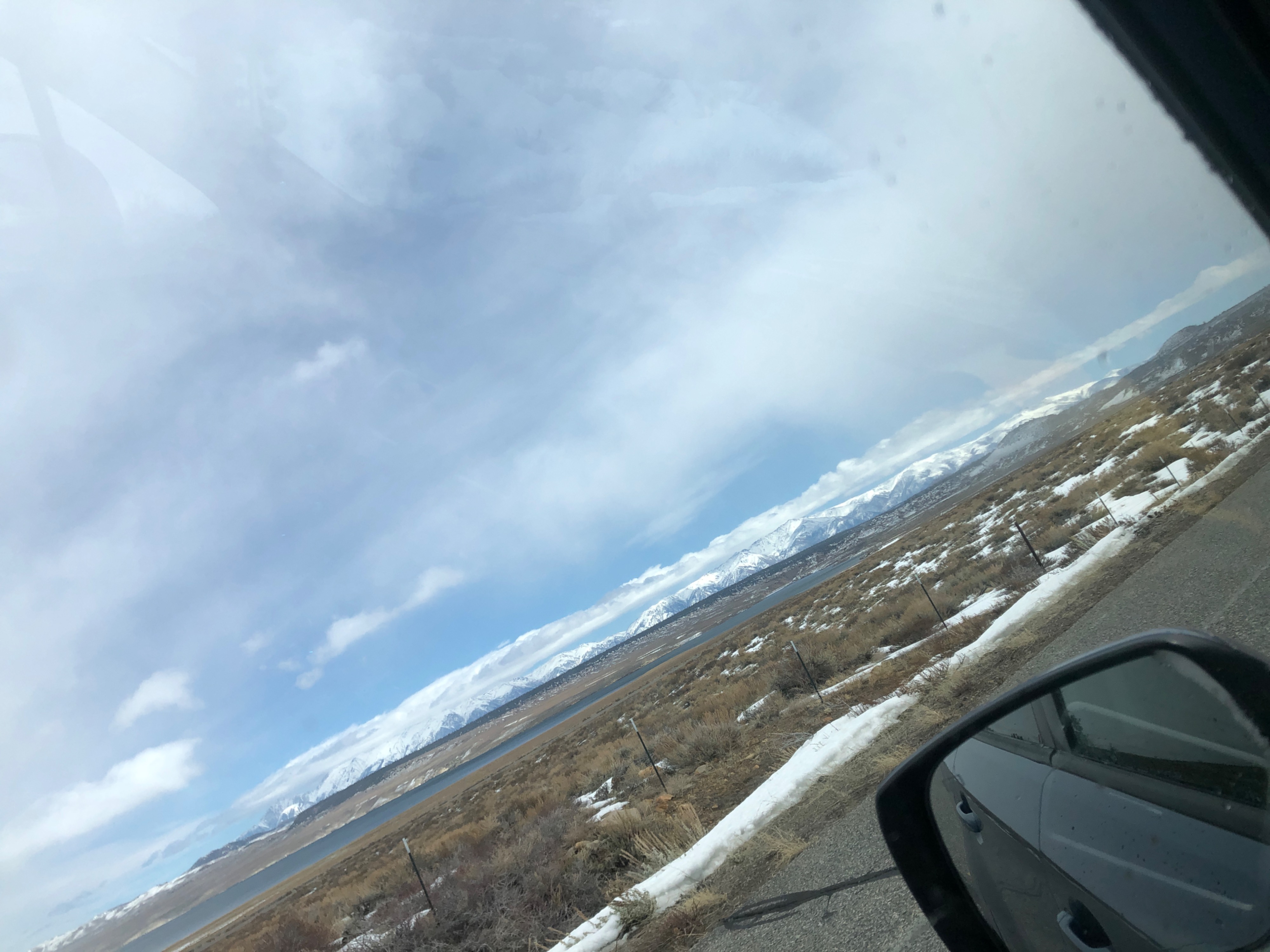
In contrast, as I exited the field, snow was still not sticking in town, and I witnessed partly sunny skies along 395 around 1 pm. Conditions have since changed.
Large shooting cracks observed in wind affected snow. Cracking underfoot observed in areas with new snow on top of a soft crust layer from the last 24 hours.Weather
- Air Temp
- 30/38
- Cloud Cover
- overcast
- Wind Loading
- intense
- Snow Avail For Transport
- moderate amounts
Everything was in flux - temperatures fluxed between 30 and 38, but wind chills brought a hefty chill to the air, rates of snowfall varied from trace amounts to S2, and winds varied from moderate to extreme. Things intensified as the day continued, and I gained elevation.