
Quick report
Today, I had two objectives to look at while in the field. 1) Where was the rain/ snow line from Monday's storm 2) How is our persistent weak layer distributed through the terrain, and how reactive is it after a series of small storms over the past week delivered new snow, wind, and low elevation rain?
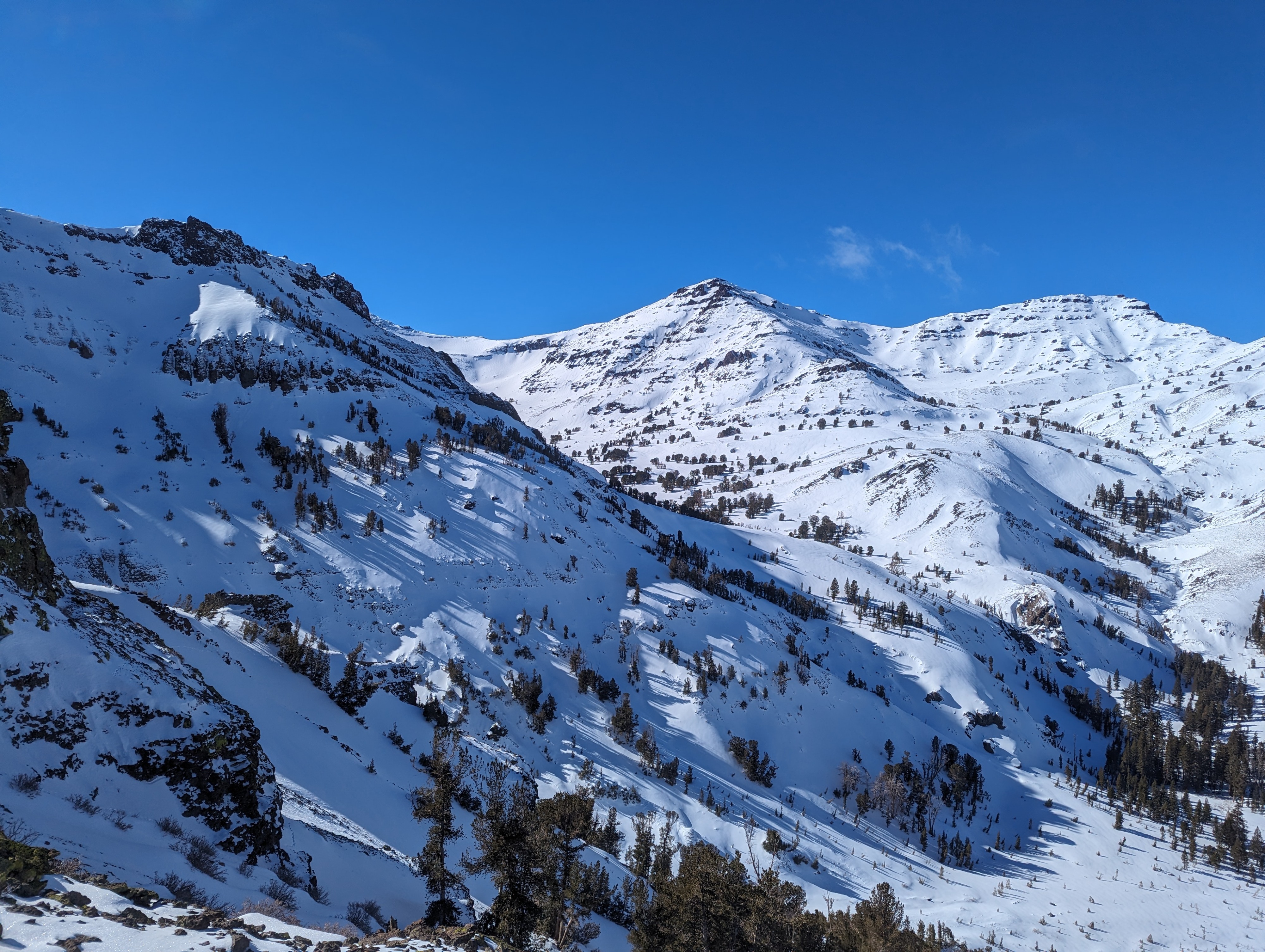
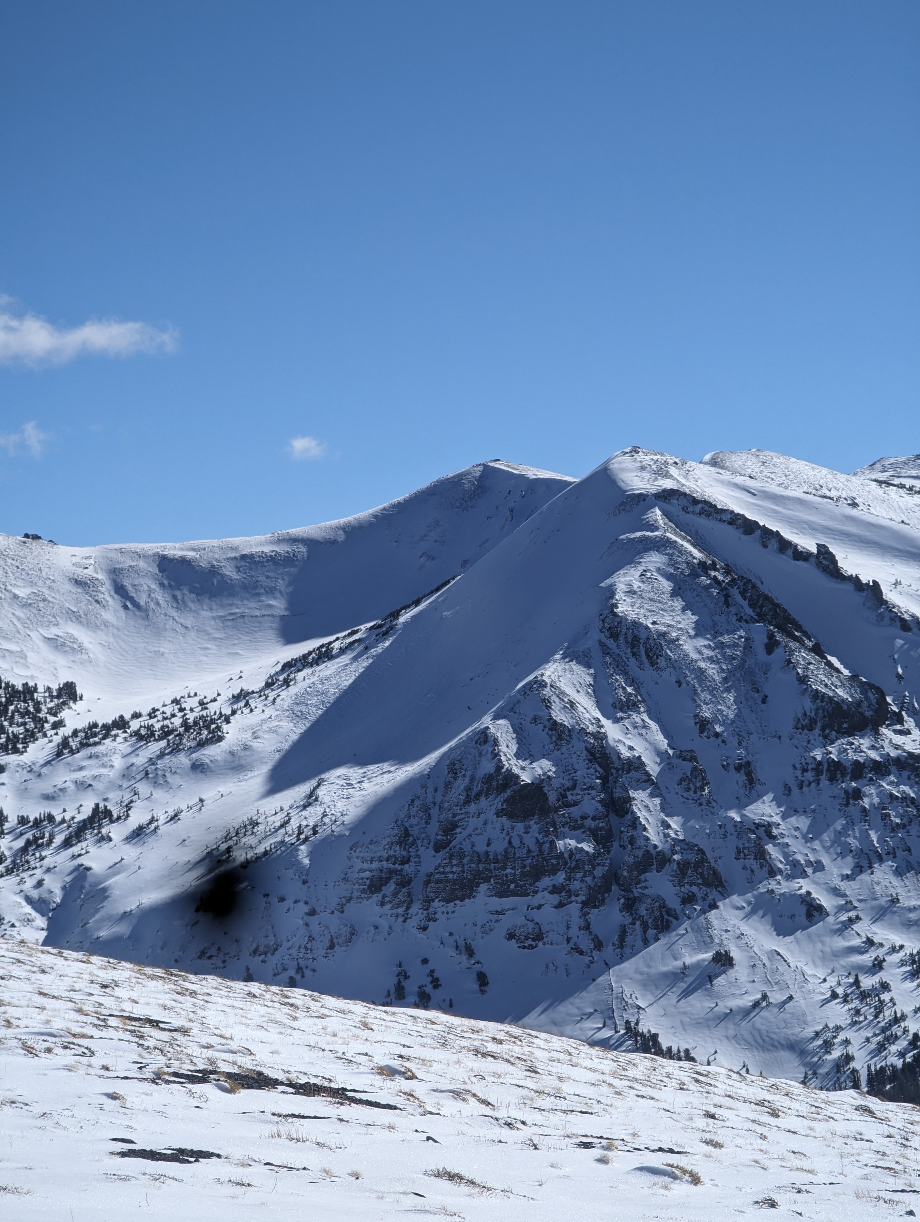
1) Where was the snow/ rain line? From what we could see in the upper layers of the snowpack, the rain line was around 8800ft, Below that elevation rain crusts were present in the snowpack, with about 4 inches of new snow on top of the upper most rain crust. Looking at higher-elevation peaks we could see new snow on slopes that were previously barren.
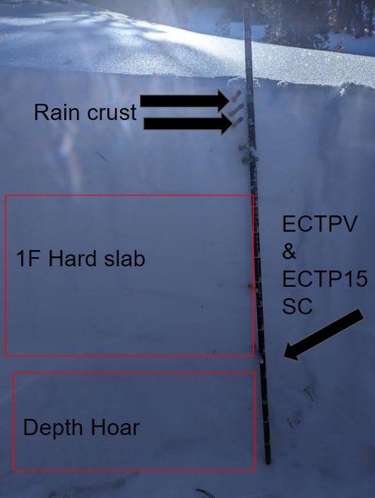
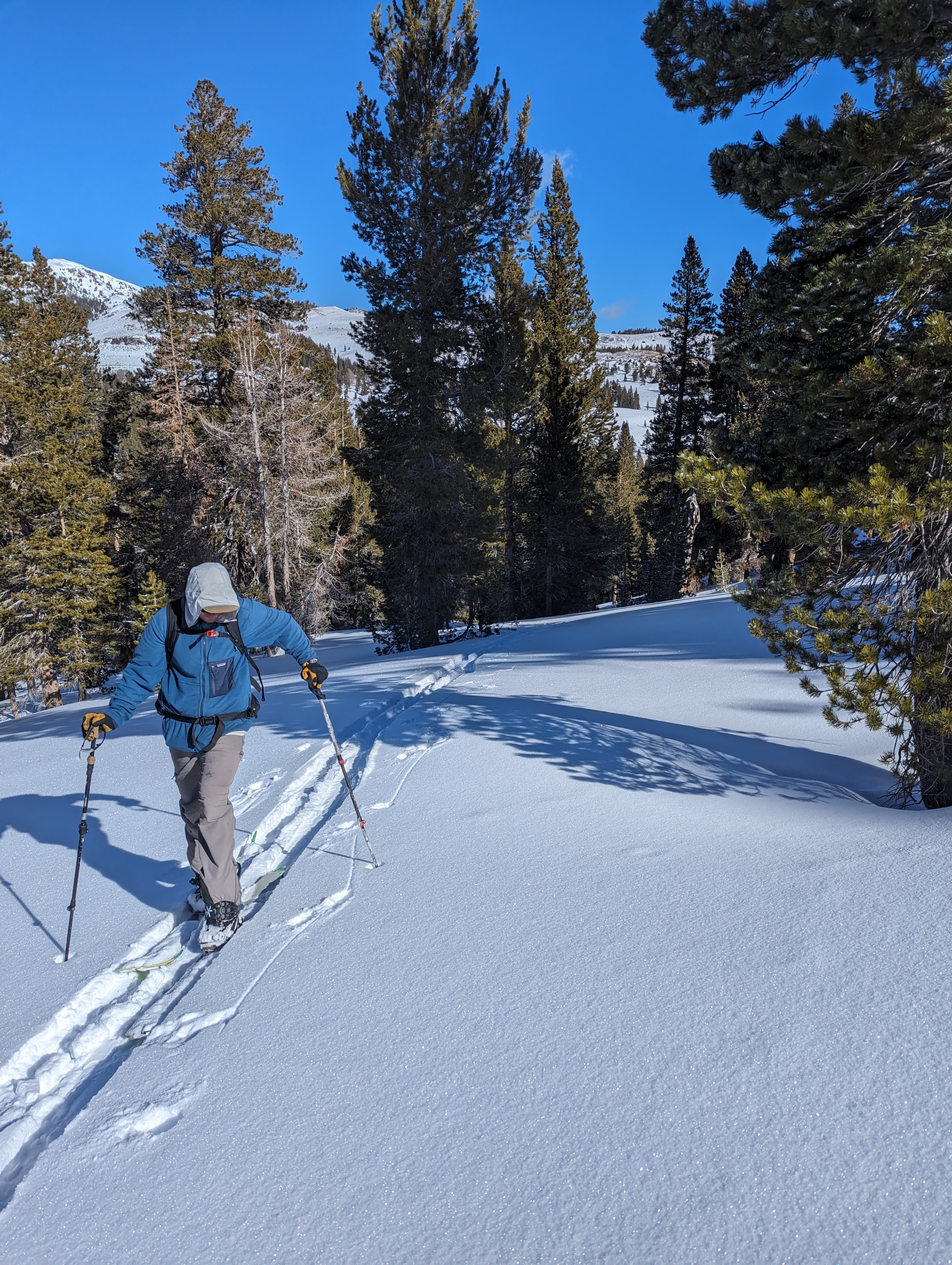
2) The Sardine can wall tour is a pretty good spot to collect snowpack data. You can tour below the tree line and top out in near treeline terrain with ample views of all aspects and alpine terrain. We dug our first pit at 8,700 ft on a N aspect below tree line and just below the rain/ snow line. Our PWL has been on the North slopes since early December, with a 92 cm snow depth it was easy to find by probing. and feeling the hollow PWL at the base of the snowpack. We found:
- Large 4mm depth hoar in the bottom of 30 cm ( Surgery snow that isn't conolidated)
- Multiple rain crusts in the upper layers
- Mid snowpack we found a 1F hard slab.
- We conducted a few stability tests
- CT 11 on DH at 30cm
- ECTPV ( Fractured and propagated across the whole column during isolation)
- ECTP15 at 30 cm
After Getting unstable results in this snowpit we ventured higher into Near tree-line terrain to dig a second pit. We chose to do this to see how the snowpack structure looked in areas were wind affected snow. With the assumption that a denser slab would be present above the weak depth hoar layer. On a N aspect at 9,300ft in Near tree line terrain we found:
- Varring snow depths from 220cm to 50cms due to wind transport( we dug in a 120cm deep location)
- The Bottom 30 cm was still weak sugary depth hoar but had smaller grain sizes 1.5 2mm)
- No rain crust in the upper layers
- A deep pencil hard layer in the middle of the snowpack
- Stability results :
- CT 11 SC at 30 cm
- ECTX ( no fractures after the full 30 taps)
What can we take away from today's observation? New snow and wind have begun to cover the PWL in certain locations, but in shallow areas The PWL is reactive. It is possible to find a shallow spot at any elevation on northerly aspects and trigger an avalanche. Choosing terrain to avoid our lingering persistent slab problem is key.
Weather
- Air Temp
- 32
- Cloud Cover
- clear
- Wind Loading
- light
- Rain Elevation
- 8500
- Recent Snowfall
- 8
- Snow Avail For Transport
- small smounts
Clear skies, 32F at 9,000ft and calm winds made for a pleasant day in the field