
San Francisco Peaks/ski area adjacent
Quick report
The objective of this brief recon was to determine the surface, thickness and extent of the ice cap that formed following the New Year's rain event, and to examine the impact of that rain on the snowline.
Lower elevations are melted out and consist of patchy snow generally below 10,500'. More specifically, 11K on south slopes, 10,500K on east and west, and down to 9K on south facing slopes. More snow was preserved above these gradients.
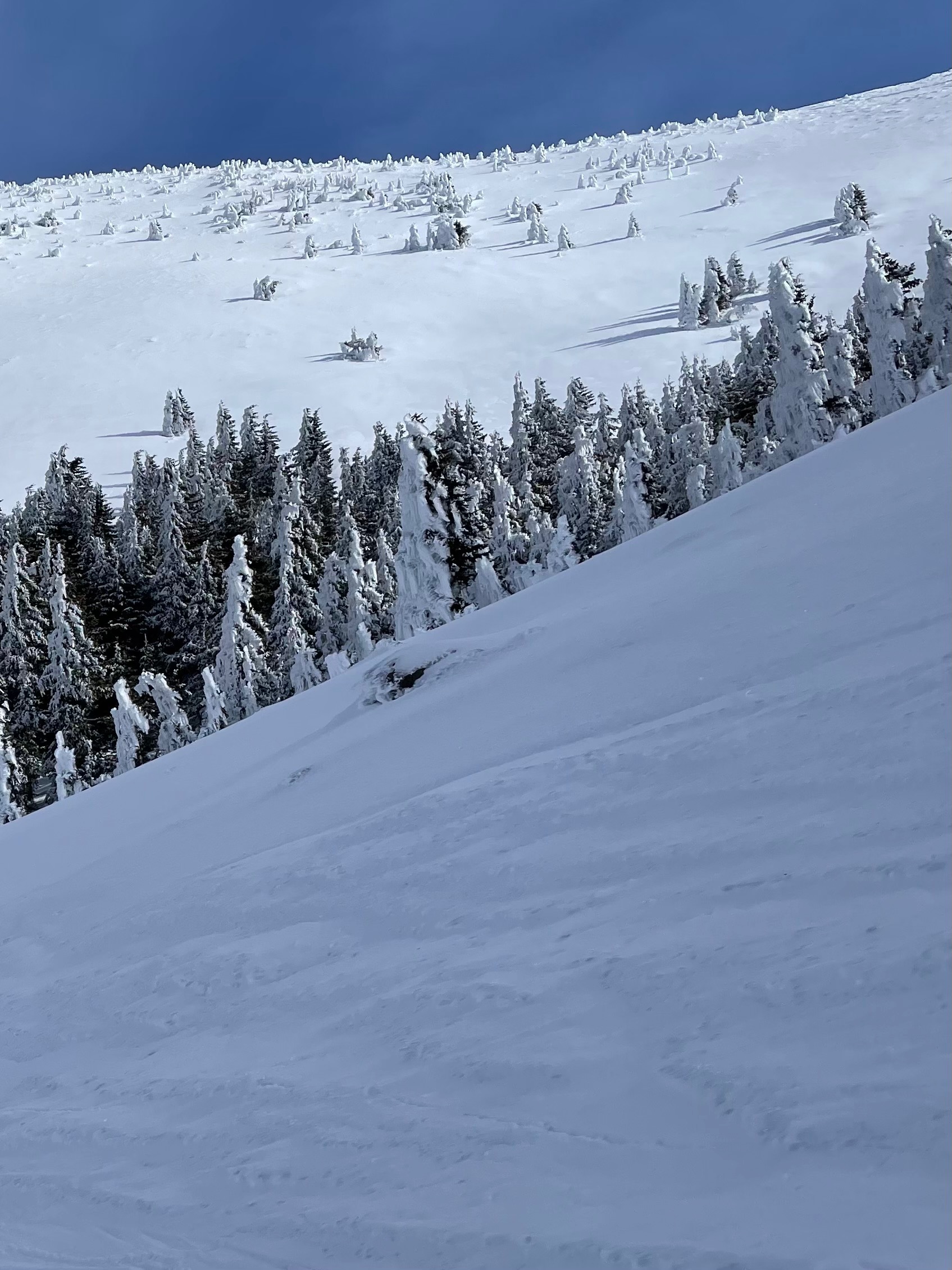
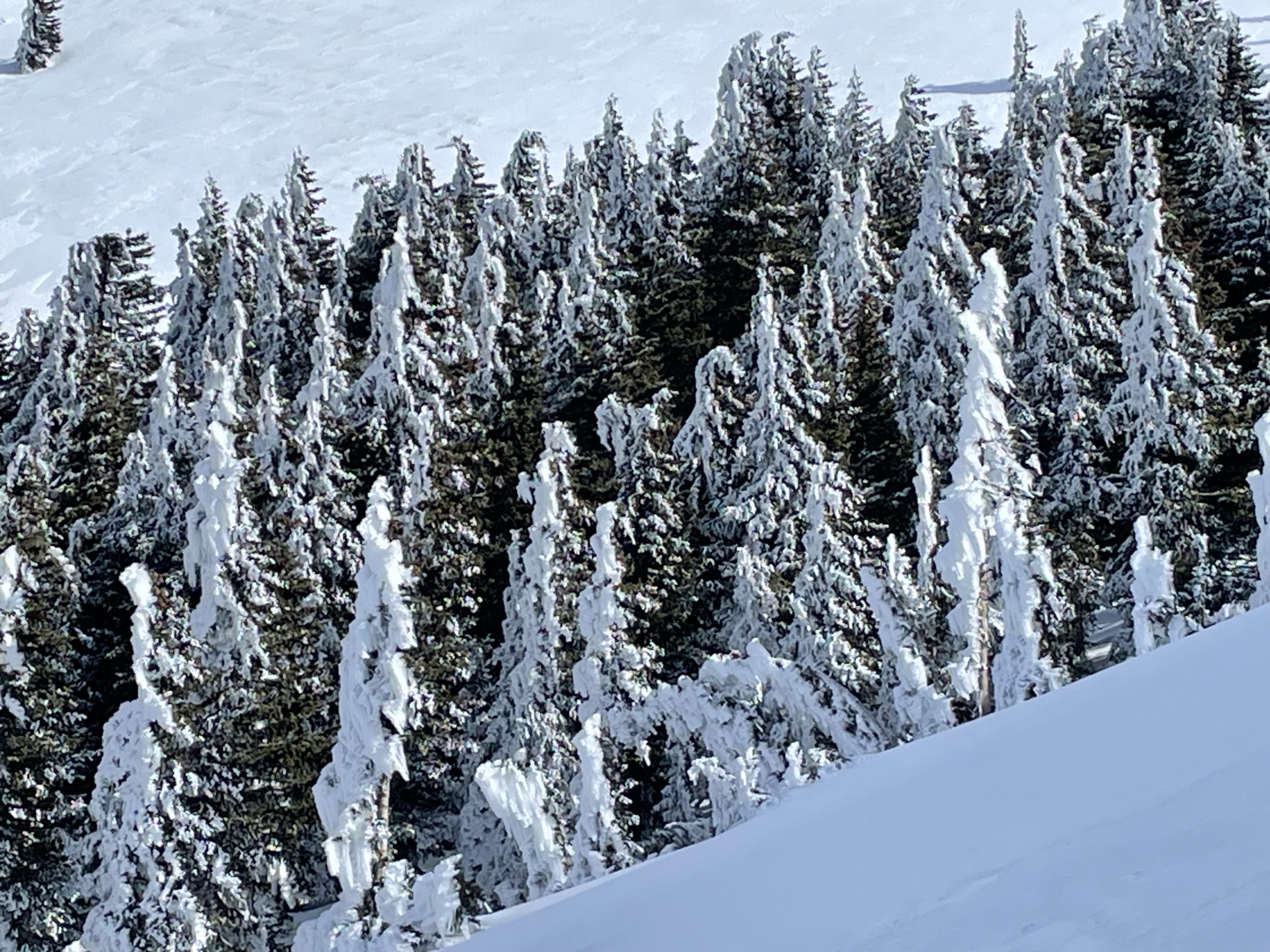
The ice lens has dominated the majority of the mountain above 10,000' - 11,000'. Based on reports and first-hand findings, this lens ranges between 5 and 20 cms thick, and is now a combination of both the Christmas Grinch Crust (CGC) and the New Years Crust (NYC). The 1-2" of snow that fell after the crust was frozen has been redistributed by wind, and the ice cap seems prominent over most of the mountain. The ice cap was present on all aspects, including south facing slopes down to 10,500', layering the snow patches present at this elevation. Anecdotally, this is the worst ice cap I have seen on the peaks. Unless covered by significant snow, this ice lens likely won't begin softening until at least the ice/rime on the trees melts (see photo below).
Skiing conditions are extremely hazardous. The surface is very similar to blue ice, but more variable and rough in texture. Any fall on steep terrain is difficult to self-arrest and may result in significant injury, especially if a skier or rider were to collide with a tree or other obstacle during the fall.
With the incoming storm forecast for Thursday, 1/8, there has been quite a bit of chatter about avalanche potential. On my recon I examined surfaces for the development of any near surface facets. None were found. While the ice cap does create a significant bed surface, a weak layer will need to be present for widespread avalanche activity to occur. If there is no faceting detected on top of the weak layer, then one of the following scenarios is likely to take place: 1) Consistent and lighter density snow falls, resulting in a higher likelihood of dry loose avalanches possibly occurring down to the bed surface or during the storm cycle (dry loose problem). 2) Wind consolidates the snow in wind drifts with wind slabs potentially releasing at the bed surface (wind slab problem), 3) snow conditions warm as the storm becomes more productive and the heavier snow causes the weaker layers beneath to fail (storm slab problem), and 4) snow comes in heavy and creates a large cohesive slab that could release on a thin barely distinguishable weak layer of near surface facets not easily detectable on the ice (persistent slab problem). The icy bed surface will likely increase the size, consequence, and sensitivity of each of these scenarios- but in many ways it will not be the direct cause. Each of these problems can be tested for in non-avalanche or inconsequential terrain, and such tests are advisable. These are unusual conditions and unusual conditions sometimes lead to unusual outcomes. An increased level of caution will be advisable if storm totals reach or exceed forecasted amounts. Post-storm assessments will reveal more information about how well forthcoming snow bonds with the icy and possible bed surface.
Weather
- Air Temp
- 28
- Cloud Cover
- few
- Wind Loading
- previous
- Recent Snowfall
- 0
- Snow Avail For Transport
- none
Mixed weather over the past 5 days prior to this observation with no precipitation, mostly light wind and intermittent cloud cover. Highs at 11,500' have not risen above freezing since the New Years rain.