
Quick report
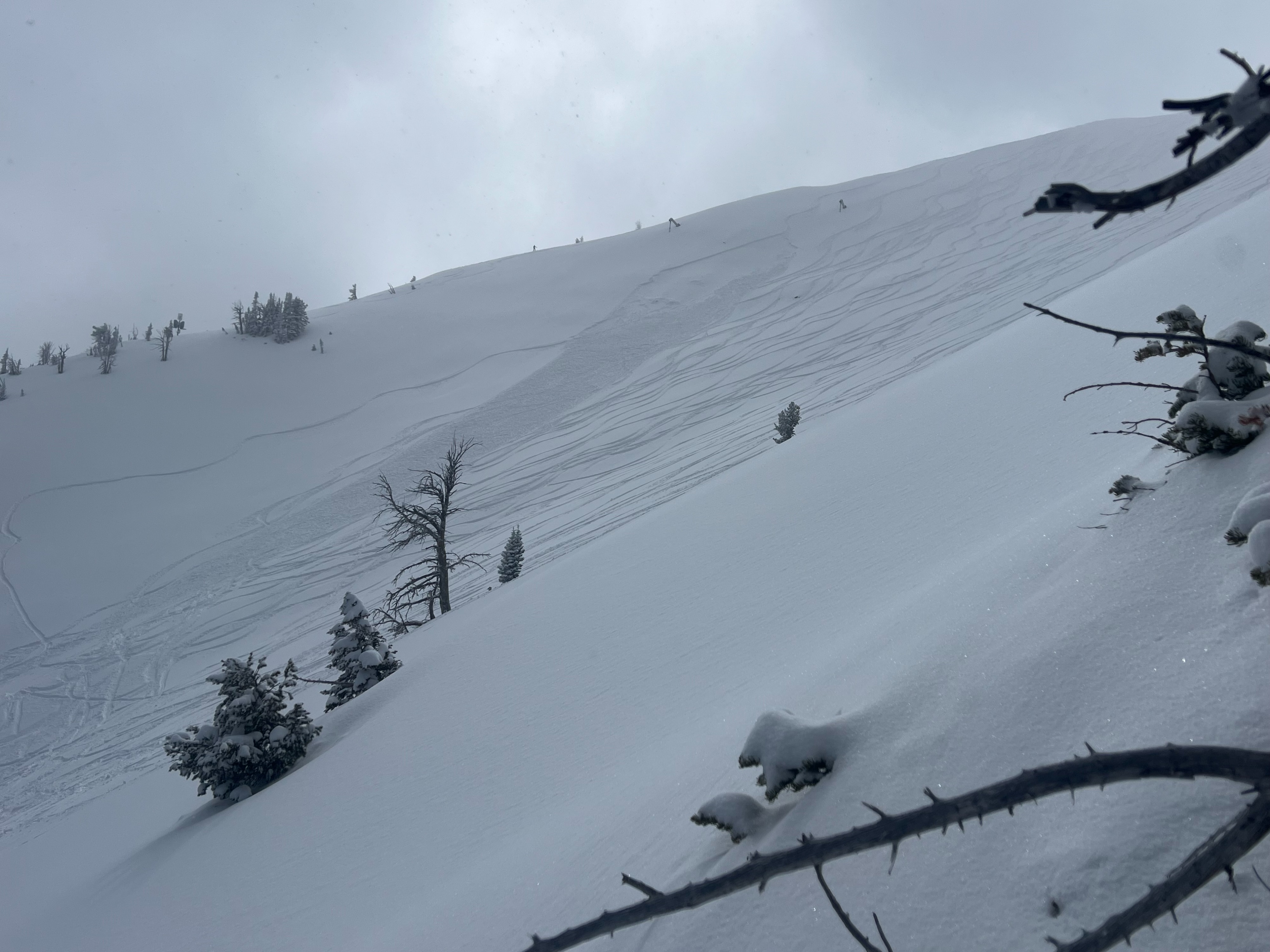
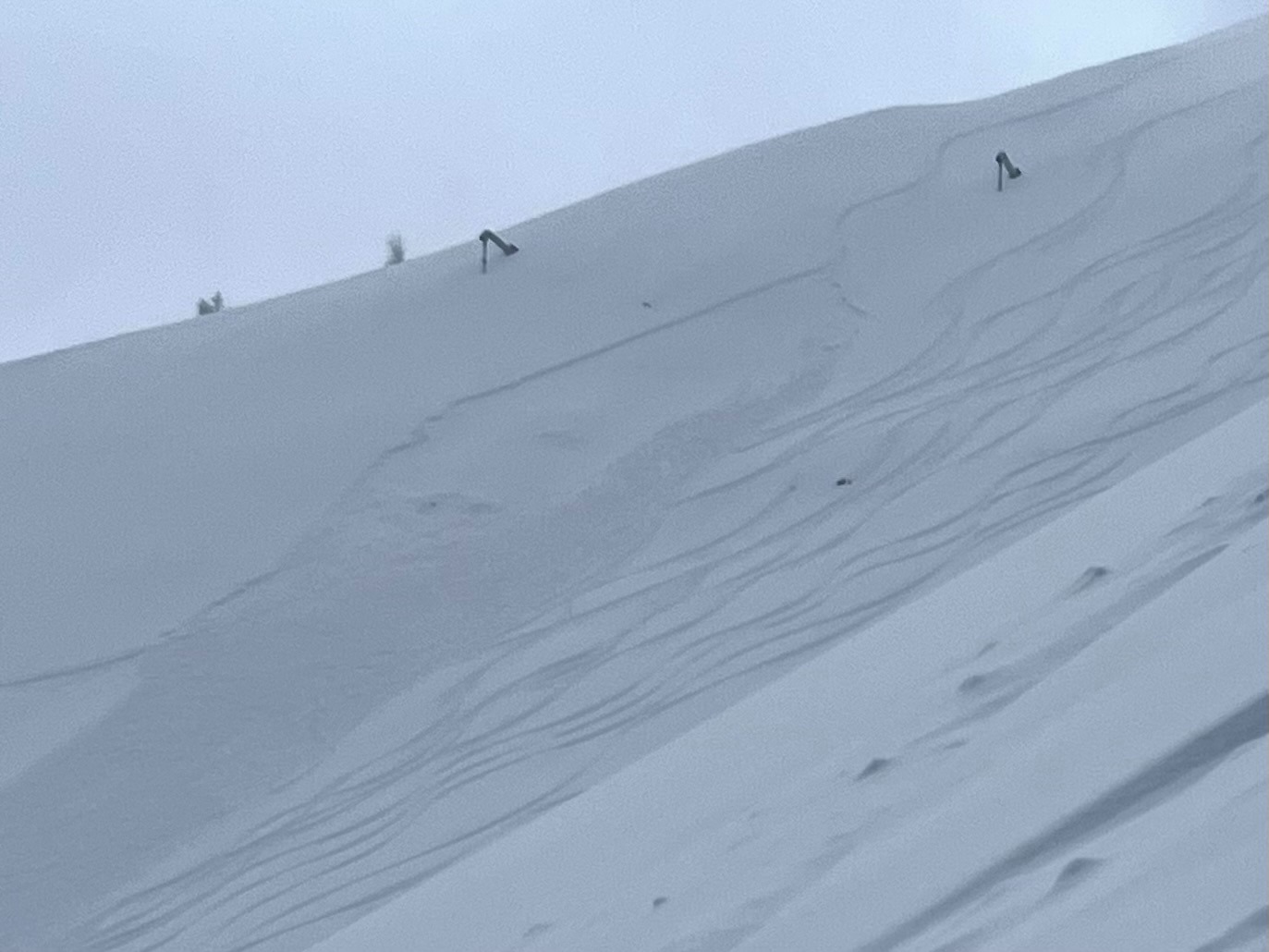
A proper storm impacted the mountains over the last 48 hours with 12-18" of deep, cold snow. The 24 hour snow was fairly low density without much wind affect. Dry loose and sloughing was easy to initiate on steep terrain. Several small pockets of storm/wind slabs (D1, R1) released on N-E aspects in the upper elevations on a noticeable density change 8" down on older wind affected snow. No shooting cracks, just a lot of new snow to move downhill.
Today winds were light with cold temperatures. The sun came out between 1200-1500 that quickly altered snow surfaces on all aspects but straight north. S-1 snow and overcast skies developed after in the late afternoon.
Be aware: Snow coverage was very low prior to this storm, with bare snow on most aspects below 8,500-9,000'. Many obstaces are hidding below the fresh snow including rocks and sharks.
Avalanche
- Size
- D1 R1
- Type
- SS
- Aspect
- E
- Trigger
- AS
- Elevation
- 9800 ft
Riders right-side of Gory Bowl. Skier or boarder D1-R1 soft slab triggered in the afternoon after the sun impacted snow surfaces on a density break 8" deep. Likely happened in the afternoon between 14:00-16:00.