
Quick report
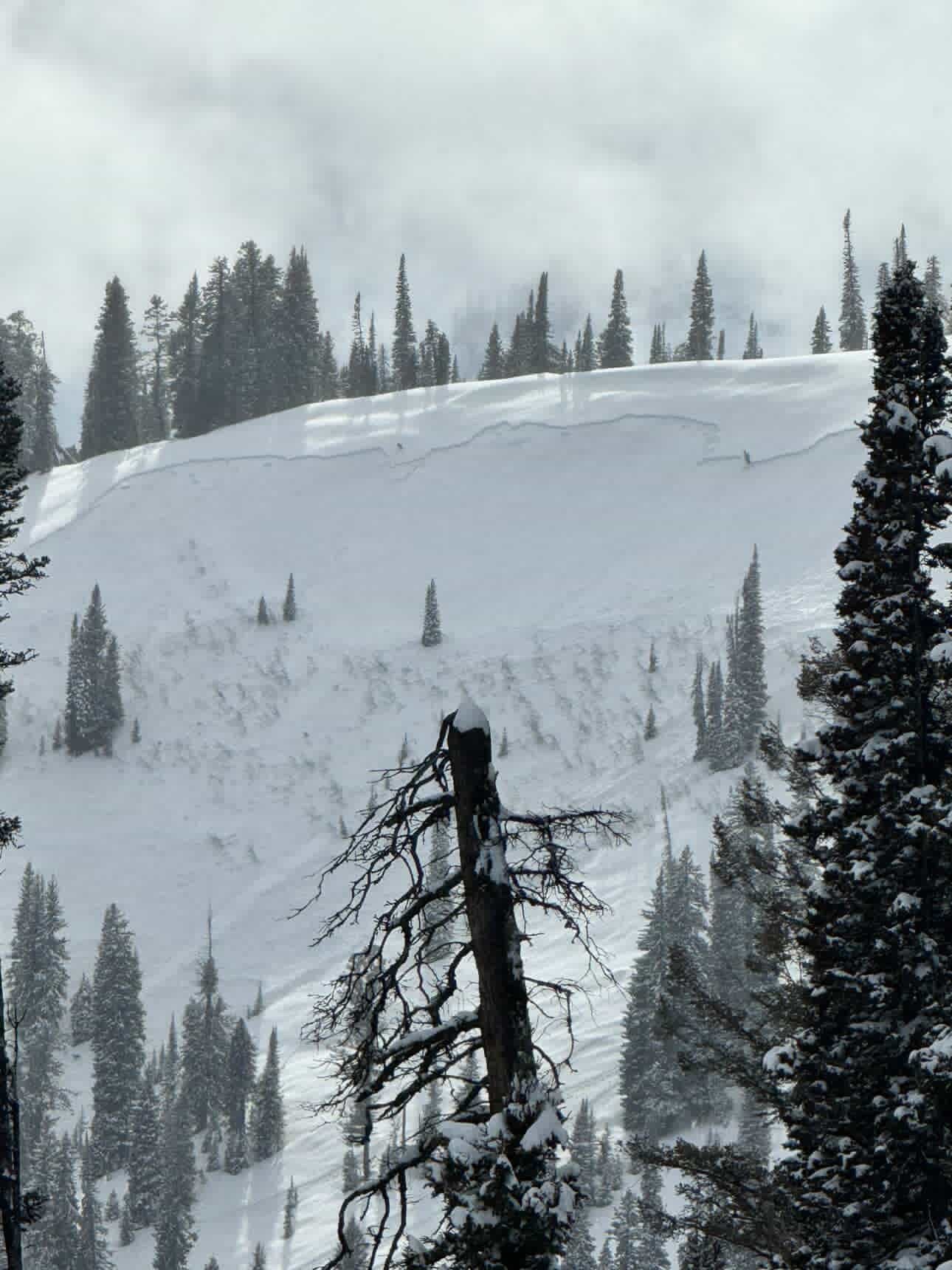
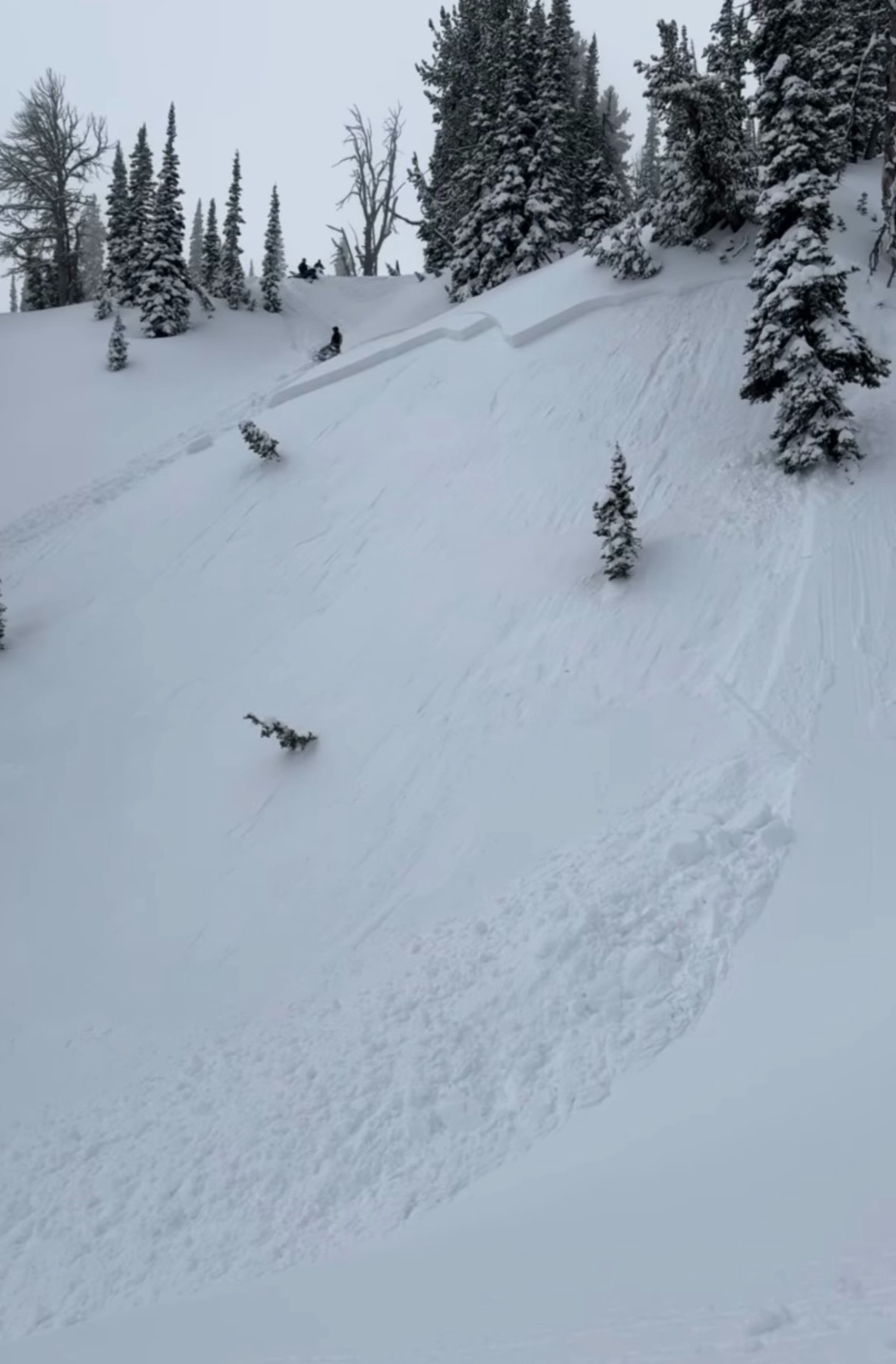
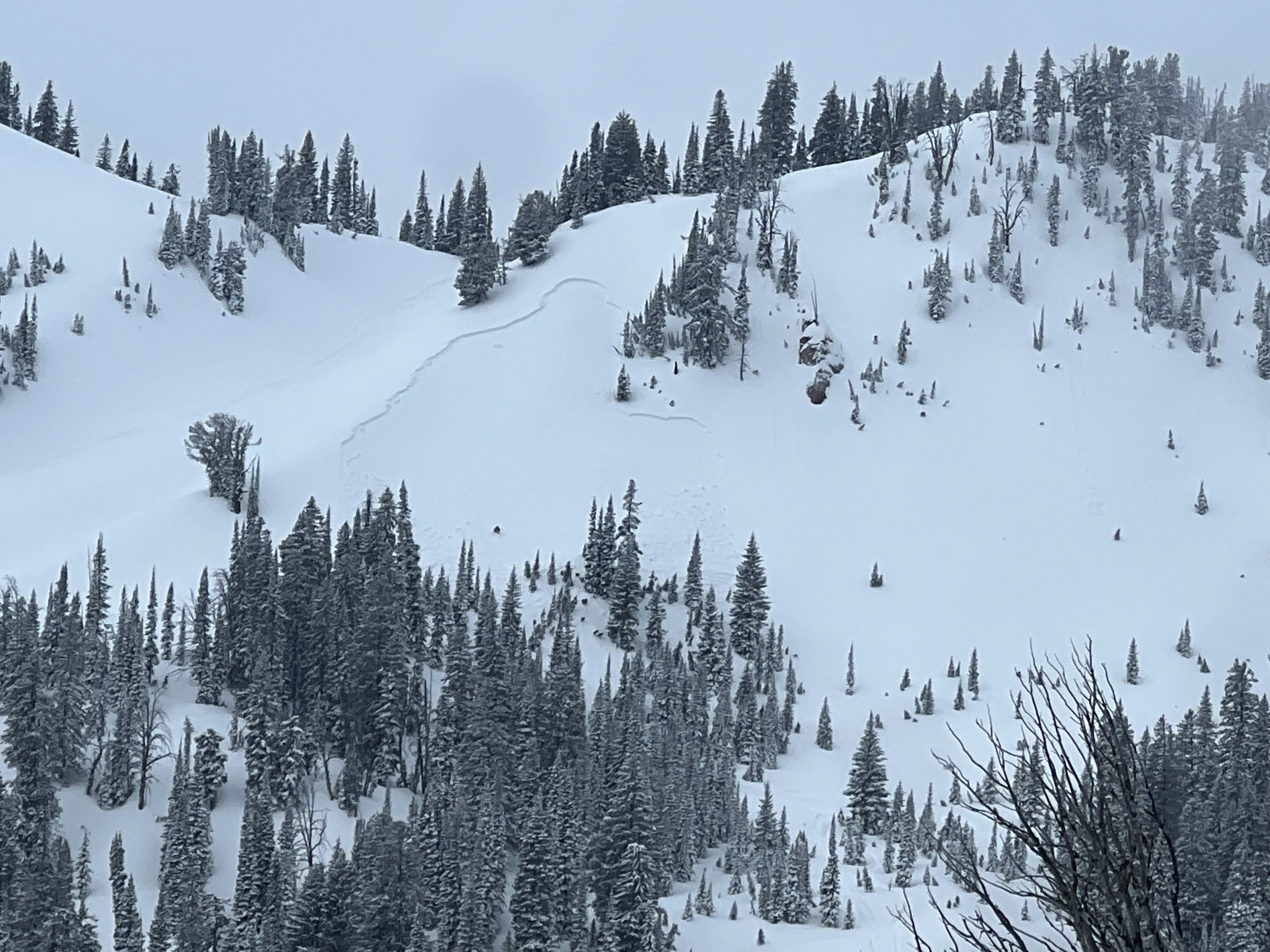
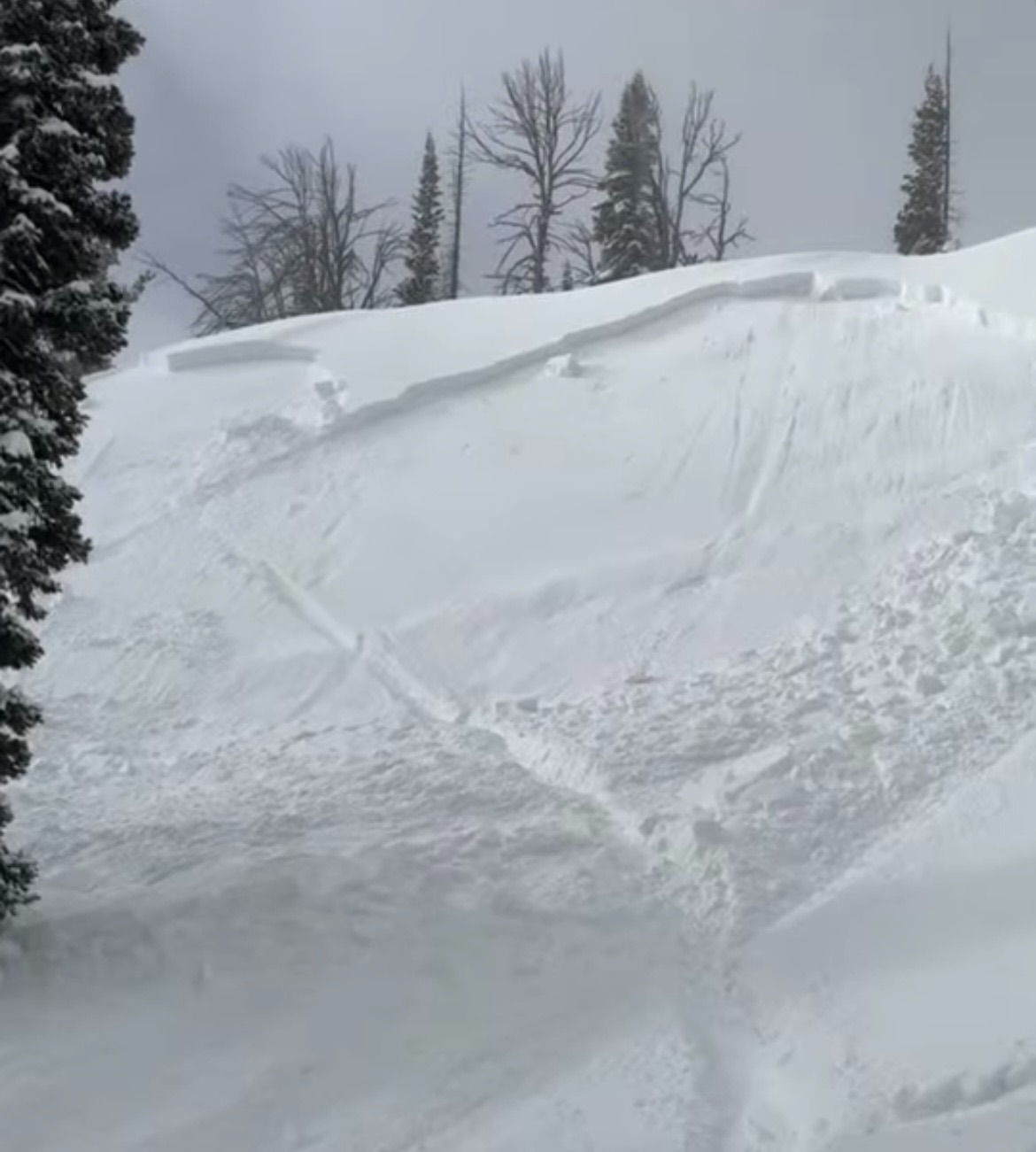
Observed numerous avalanches today. Multiple parties reported triggering D1-2 avalanches while riding (see attached Avalanche Events) failing on the January facets and possibly surface hoar buried 12-20" (30-50cm) deep depending on the elevation and previous wind loading. Some of these avalanches were triggered remotely from gentle terrain adjacent to the steep slopes. These avalanches were primarily on NW-N-NE aspects between 8,000-9,500'.
Conditions changed rapidly from yesterday as warm temperatures, solar, greenhouse effect, and settlement influenced the slab above the weak layers formed during the recent drought. The change in slab character caused the increase in reactivity despite no snowfall or increased wind. In addition, we observed many storm slabs that failed in the last 48 hours on mid-storm density changes (D1 or less).
The Snake River Range is notorious for producing and preserving facets during specific weather patterns.
Snowpack
Dug a pit on a NW aspect (sheltered from the wind) at 9,000' to investigate the cause of the recent avalanches. As expected, we found unstable results (ECTP21 x2 down 40cm) above the facets formed in January. The layer that actually collapsed and propagated were 1mm facets formed directly above a slight crust from the Feb 6th warm up. January facets below were 1-2mm.
For tracking purposes we'll continue to call these layers of concern (composed of facets or surface hoar) the January drought layer, even though some specific grains formed February and it was all buried most prominently Feb 9th.
Avalanche
- Size
- D2 R2
- Type
- SS
- Aspect
- NE
- Trigger
- AR
- Elevation
- 9400 ft
Spoke directly with the party that triggered the avalanche remotely from the ridge above the slope that slid. Estimated crown depth around 2 feet. Avalanche moved with sluggish character, but significant character cross-slope.