
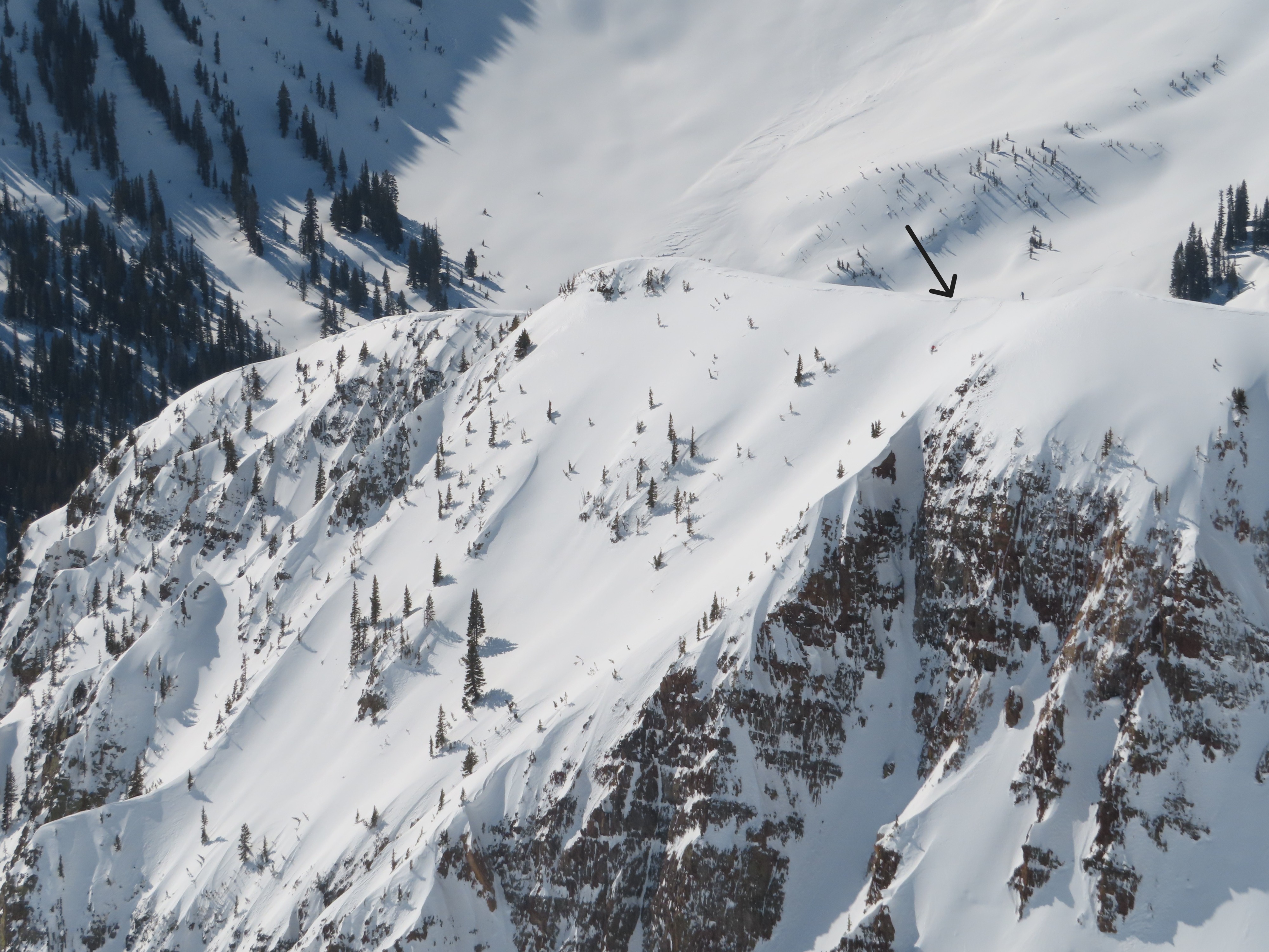
Quick report
Good stability before noon today. Previous wind drifting hardened last weekend's storm snow here, slowing down the destabilizing effects of recent meltwater. Above 11,000', only the top couple of inches of snow has gotten wet during the last few days with minimal rollerballs or sluffs. There's another 2" to 5" of dry, dense snow below it before the hard crust from last week's warmup. We skied the east face of Mineral around 11:00 a.m.; that was good timing for softening almost-corn on southeast aspects, while northeast still had dry snow and east had something in-between. I expect the ideal timing will be earlier tomorrow with the warming trend.
Weather
- Cloud Cover
- clear
- Wind Loading
- none
- Recent Snowfall
- 0
- Snow Avail For Transport
- none
Avalanche
- Size
- D2
- Count
- 3
- Aspect
- E
- Trigger
- N
- Elevation
- 12400 ft
No new avalanches before noon. A few small, previously reported wet loose slides from the past few days from wind-sheltered, steep rocky slopes. A few older persistent slab-like avalanches in rocky, alpine terrain of the Beckwiths that probably ran during the late March storm.