
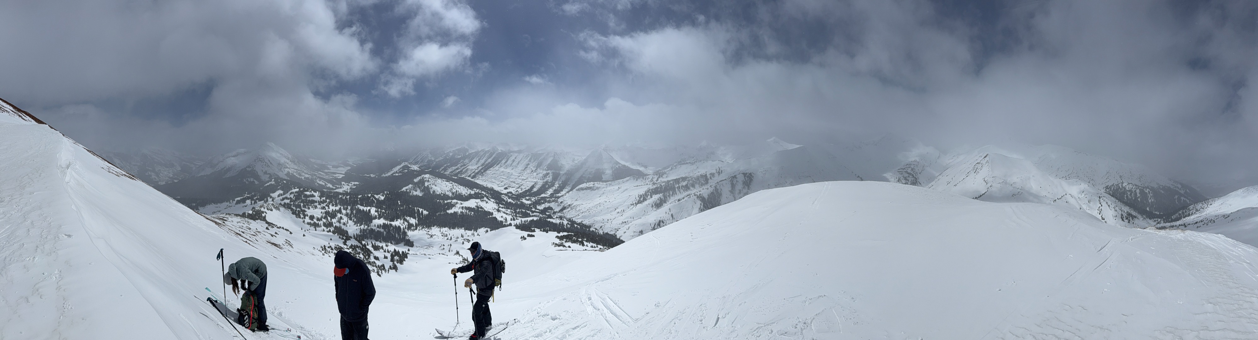
Quick report
At higher elevations, ski quality was fairly nice, even in areas impacted by the wind (maybe I'm biased from weeks of garbage skiing). We didn't find obvious evidence of problematic snow structures in this week's snow, but I couldn't rule out the possibility. I suspect that a triggered slab was most likely in the snow that was drifted last night and this morning. It was nice to have enough snow to snowmobile out the road again, but I suspect warming temperatures will melt that out again in a day or two.
No significant signs of instability underfoot. Minor cracking of a few feet in drifted snow from Thursday night.Weather
- Cloud Cover
- scattered
- Wind Loading
- previous
- Recent Snowfall
- 65
- Snow Avail For Transport
- moderate amounts
Northwest winds transported snow in the AM. Wind speeds decreased and easily transportable snow diminished. Thursday nights storm produced ~3 inches. Storm totals since Tuesday reached up to two feet near 12000 feet and around 8 inches at 9,600 feet.
Snowpack
Storm totals since Tuesday slightly exceed two feet in this area at treeline. Warm temperatures and sunshine on Thursday formed a soft 1-2cm crust on southerly aspects, with a few inches of snow above from Thursday night. Solar aspects became slightly moist around midday. We crossed a handful of recently drifted features without result. Several ECT's did not produce propagating results. ECTN's in this week's storm snow broke only a shovel width on storm density changes, but did not appear problematic. In each spot I looked, this week's storm snow was well-bonded to the crust below. Minor cracking was found a few inches deep in last night's wind-drifted snow.
Avalanche
- Size
- D2
- Type
- SS
- Aspect
- E
- Trigger
- N
- Elevation
- 11900 ft
Poor visibility limited views of the crown. The crown and debris appeared to have some snow on it, so I coded from Wednesday during peak snowfall.