
Quick report
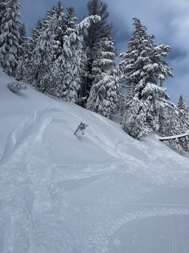
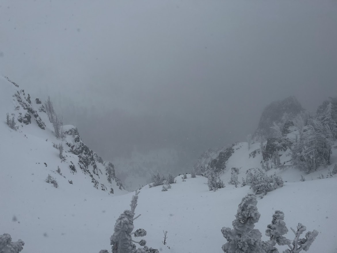
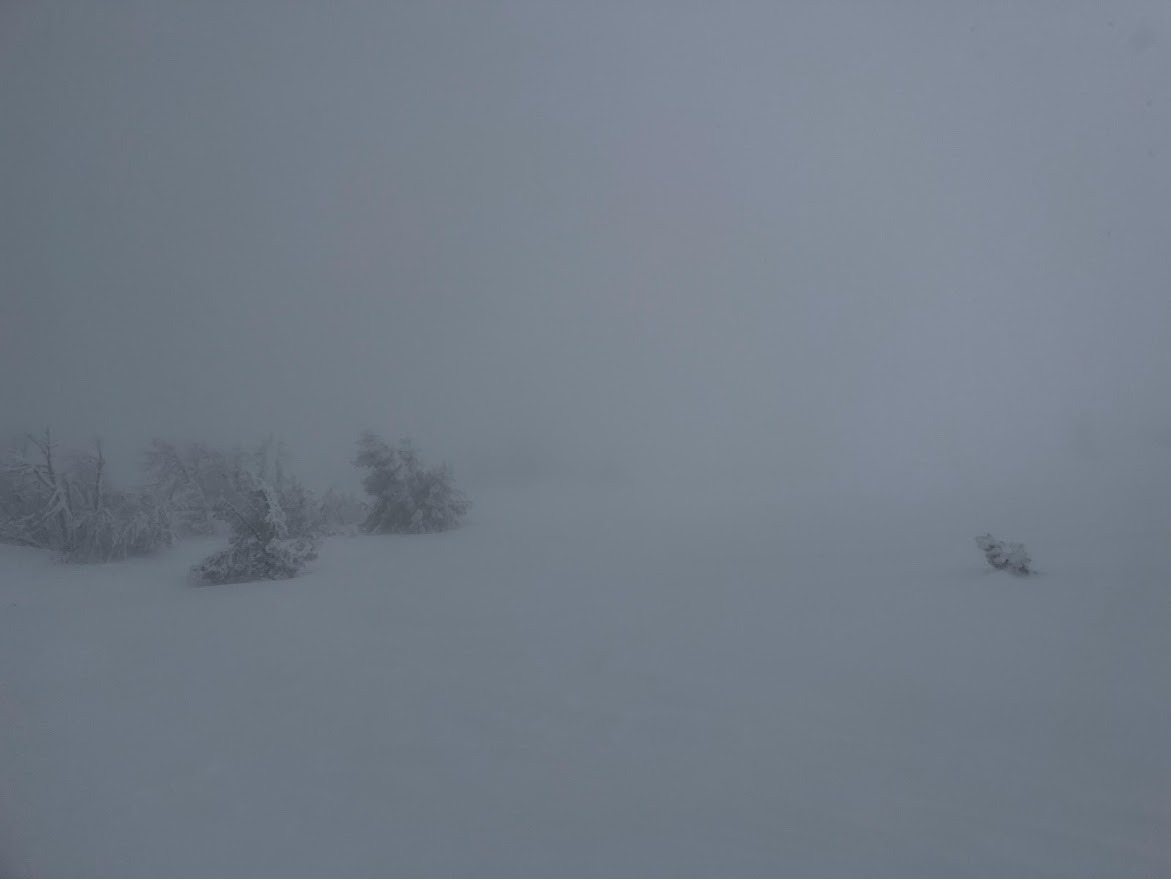
Very poor visibility with rough and occasionally deep new snow meant I skinned out and back from Minaret Vista to Deadman Pass today.
There were no signs of instability observed on the tour.
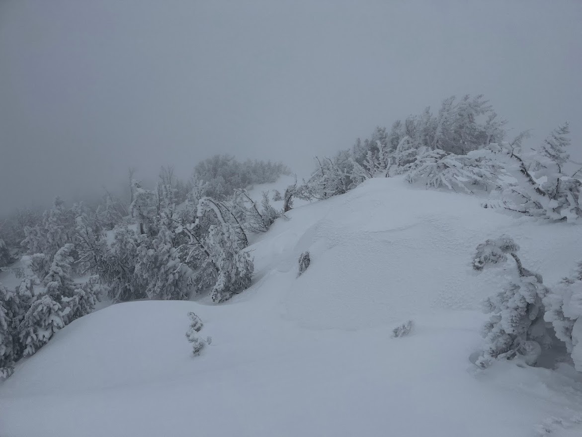
Wind slab interfaces are not concerning, but wind and snow showers increased during the day; making me confident that new wind slabs were forming near and above the treeline in the Mammoth area this afternoon.
Storm slabs were unreactive below the treeline in the terrain I traveled in.
In this area, rider triggering of early season persistent weak layers is dependent on finding just the wrong shallow trigger point. Locally (in this specific area, not regionally) natural persistent slab avalanches following large loading events are more likely than rider-triggered persistent slab avalanches.
Visibility was severely limited, unable to check for evidence of avalanche activity from the past 24 hours in surrounding terrain.Weather
- Air Temp
- 20
- Cloud Cover
- obscured
- Wind Loading
- light
- Recent Snowfall
- 45 to 60
- Snow Avail For Transport
- moderate amounts
Freezing fog. Increasing wind, snow showers, and blowing snow.
Snowpack
BTL: HS 100 to 170cm (Total snow depth 3 to 5 feet), Ski pen to the ankle (20cm), Boot Pen to the knee (60 cm). Surface snow: fist hardness precipitation particles (soft snowflakes). 40cm to 60cm of storm snow (1.5 to 2 feet of recently fallen snow).
NTL: HS 25 cm to 260 cm (Little to no snow windward and 8 feet total depth where wind-pillowed). Surface snow: Fist hardness cohesive wind-broken and rimed decomposing and fragment precip particles (soft wind-pressed snow with rime on it). Minor sastrugi indicating windward erosion from S and SW winds. On east aspects; Ski pen to the arch of the foot (10cm), Boot Pen to the calf (25 cm). On north aspects Ski pen to the calf (25 cm), Boot Pen to the hip (80 cm). 40cm to 60cm of storm snow (1.5 to 2 feet of recently fallen snow). LOC: DH and FCxr from Nov. and early Dec. down 100 to 170cm (the weak base from early season is buried too deep to track with ski pole probing in most areas).