

Quick report
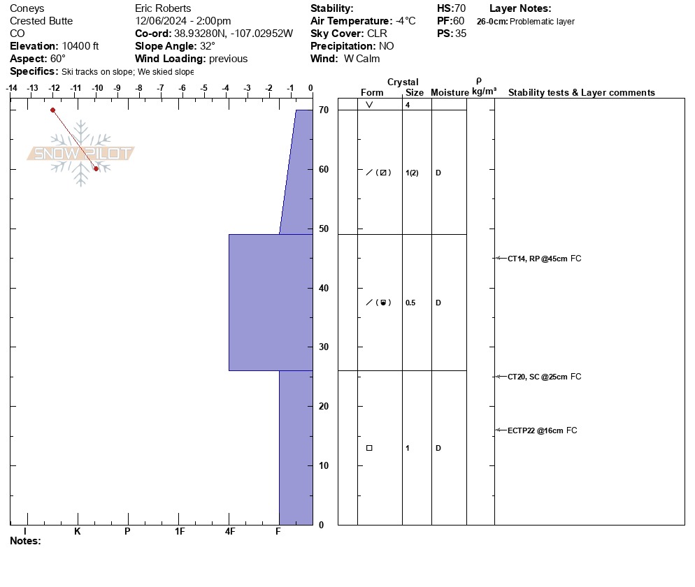
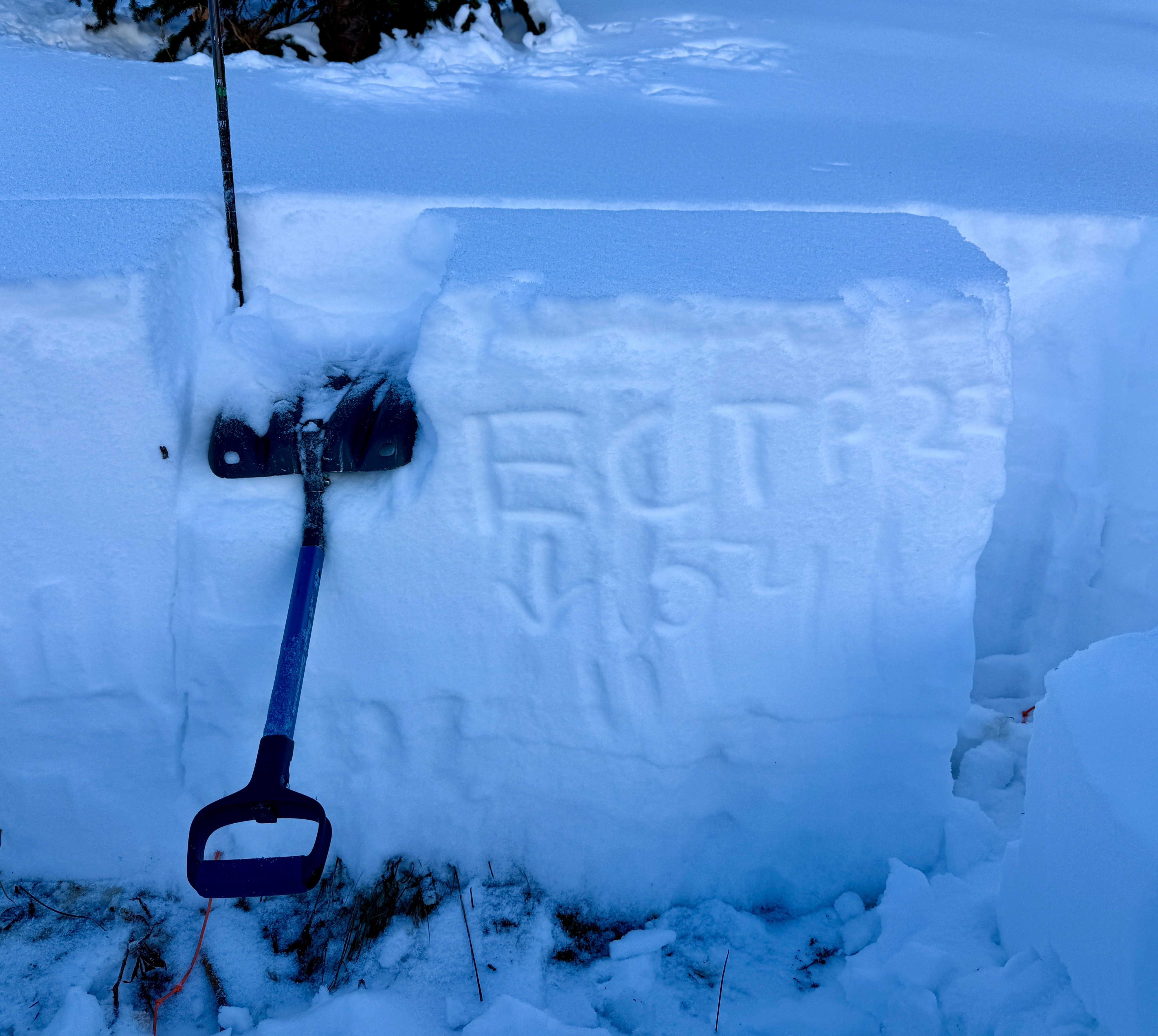
Tests at this specific location (Coney's, 10,400', E, 32°, 14:00) showed moderate strength, poor structure and moderate propagation propensity. No cracking or collapsing observed as compared to previous week. No observed releases or active wind loading/scouring.
Weather
- Air Temp
- 25
- Cloud Cover
- clear
- Wind Loading
- previous
- Rain Elevation
- N/A
- Recent Snowfall
- 0 cm
- Snow Avail For Transport
- moderate amounts
Clear skies Winds were calm with no observed gusts. 27°F at 10,400 with mild sun affect on surface crystals and temperature gradient present in shade. Trees and alders have lost accumulation and showing horizontal stresses.
Snowpack
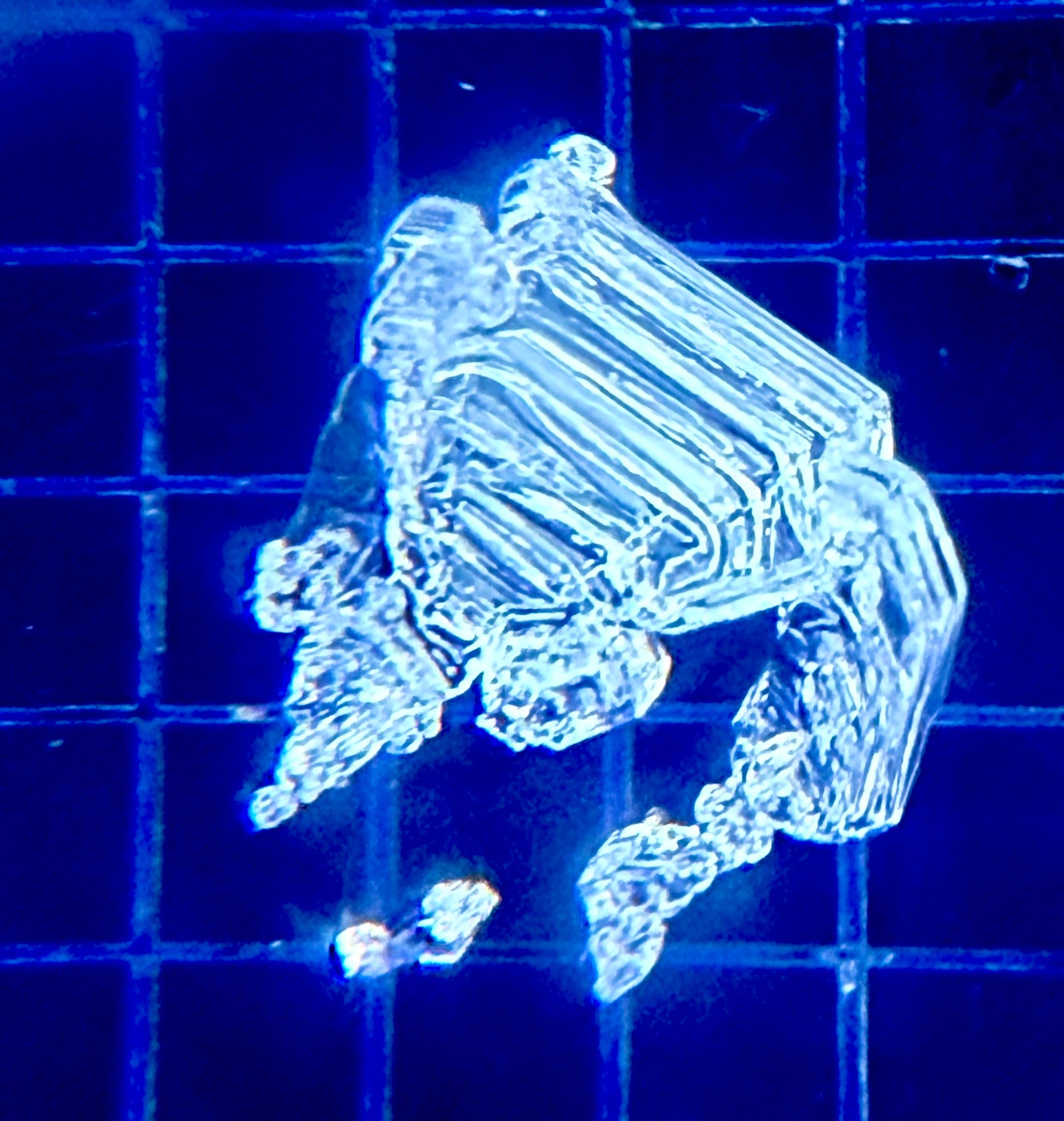
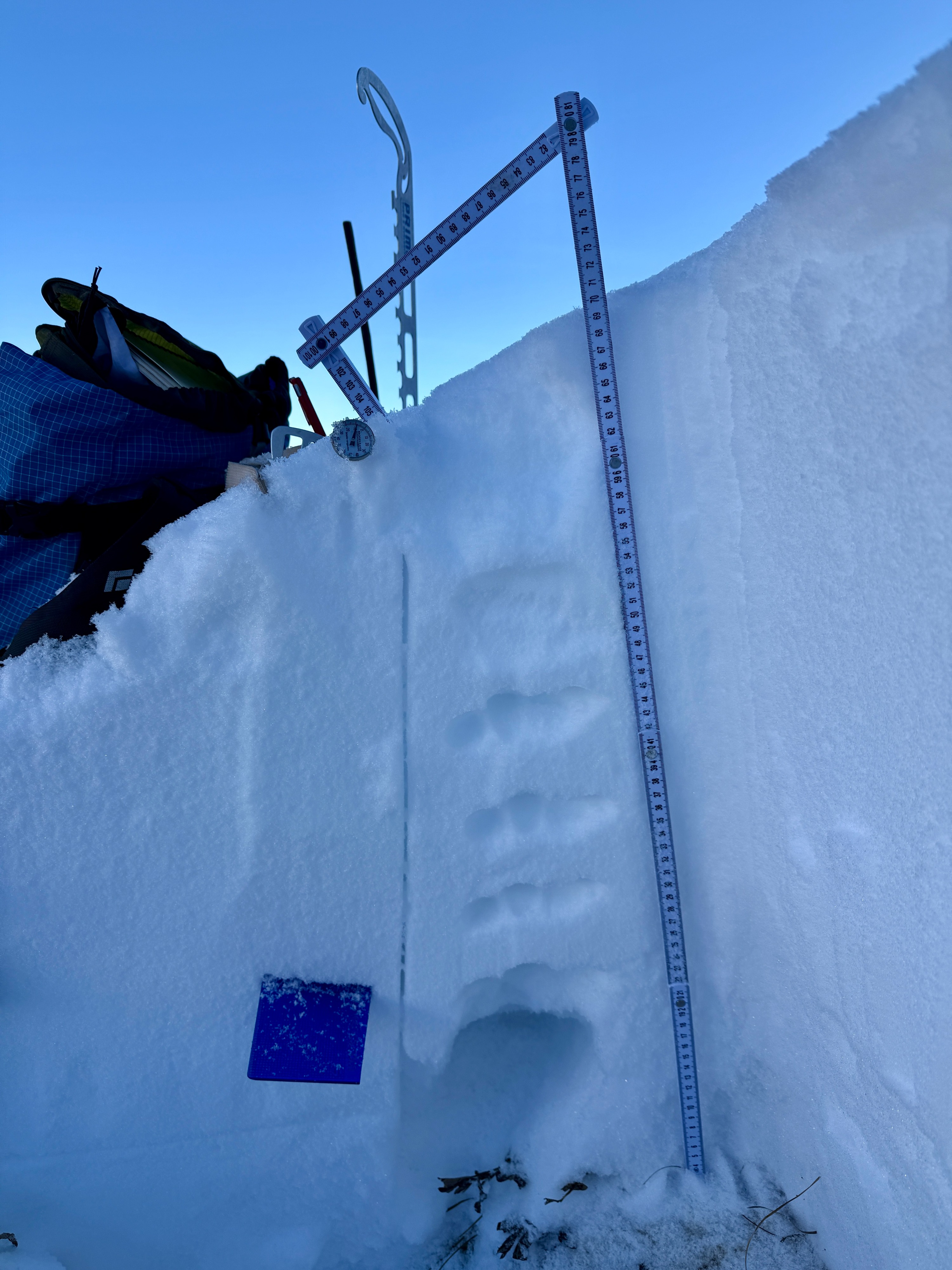
Snow Surface: Surface consisted of widespread 4-6mm SH crystals near valley/river at 9,300’, with decreasing size as elevation increased in wind sheltered terrain. SH of 1-2mm was widespread on east aspects from 10,000’-10,500’. Thin Suncrust present on southerly tilts to observed EL of 10,500’. Ski/boot pen: 35cm/60cm. Overall, upper snowpack on easterly at 10k-10,500’ is deteriorating into NSFs and the lower snowpack is increasing in crystal size and layer thickness of basal facets. The mid-pack is harboring inconsistent layers primarily of faceting rounds and DF. Intention was to assess distribution of NSF and reactivity of lower snowpack prior to incoming system. CT’s provided varying character (RP/SC), while ECTs continued to point towards propagation propensity in the lower snowpack. Hope to assess all aspects prior to storm system and would be curious of current threshold of constantly deteriorating snowpack. *See Snowpilot for details*