JF Michaud powdah
Feb 19th, 2025 10:30 AM
kkantner240
Chic-Chocs
Details
Type
quick
Coordinates
48.786578, -66.082824
Quick Observation
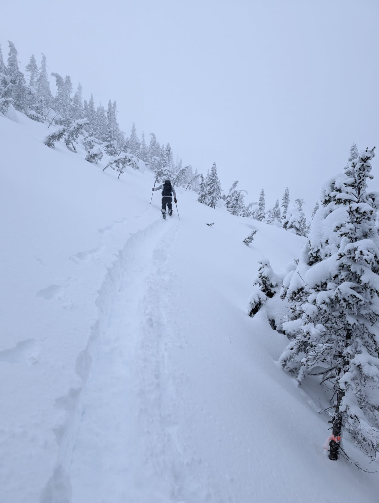
Powder from the Monday storm just started to settle and get heavier since yesterday with the warm temps today. Still great skiing in the trees. Low visibility above tree line made it difficult to assess snowpack for wind slabs on open slopes. A rider we met saw a large wind slab under the ridge at the top of Batman.
Snowpack
Storm snow from Monday and last week sheared off cleanly with some resistance at a faceted weak layer, 10 cm thick, at 65 cm down. ECT showed no sudden collapse or fracture after 30+ taps and no propagation. About 30 cm of 1F snow under weak layer, followed by depth hoar the rest of the way down.
Photos (1)