
Quick report
Minimal avalanche hazard where I traveled.
Weather
- Air Temp
- 26
- Cloud Cover
- broken
- Wind Loading
- previous
- Recent Snowfall
- 15
- Snow Avail For Transport
- small smounts
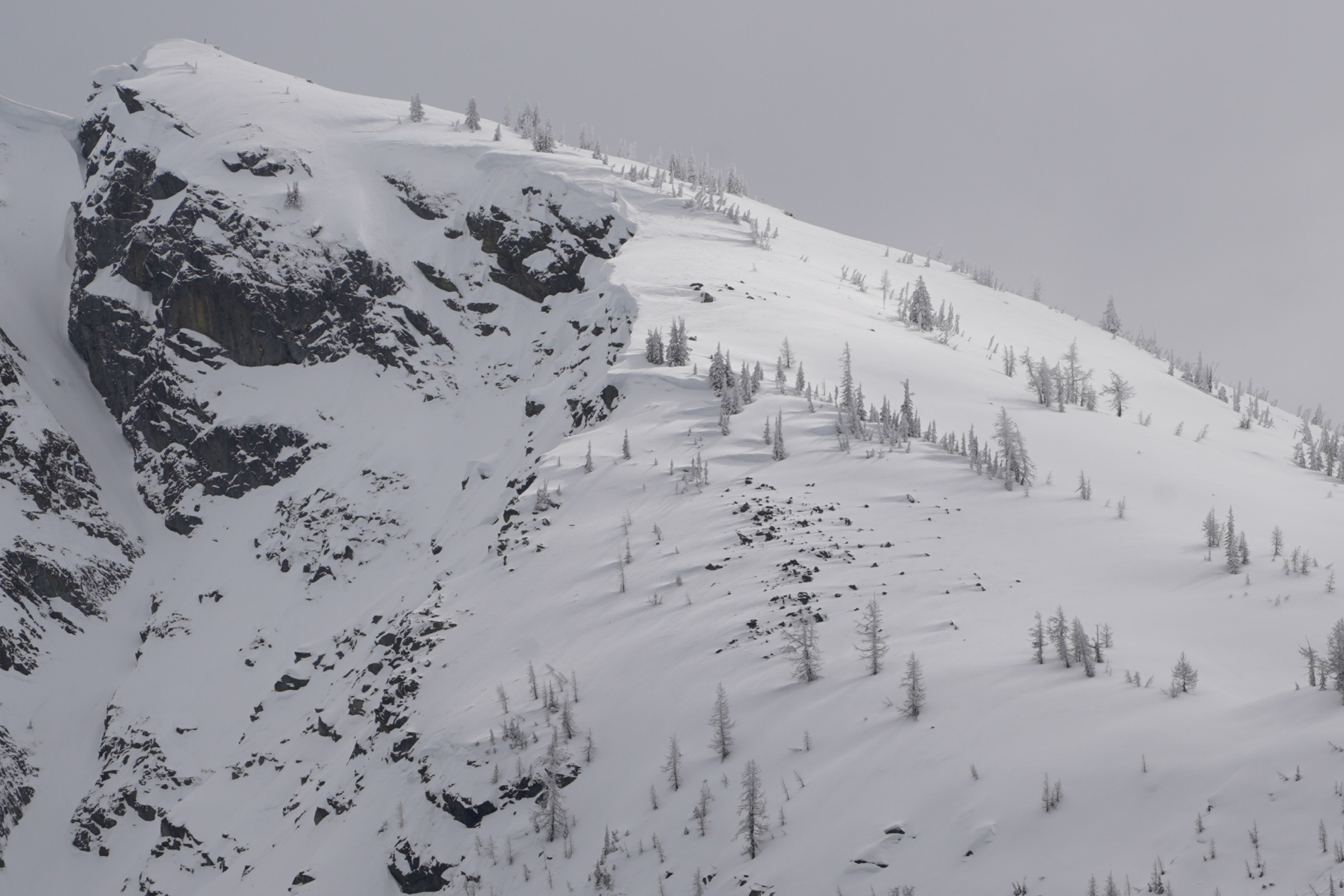
The cloud cover varied from overcast to broken, often with some thin clouds. Visibility was relatively good in the morning. Convective snow showers developed by 1:30p. The wind was calm, and we observed no blowing snow at ridgetops.
Snowpack
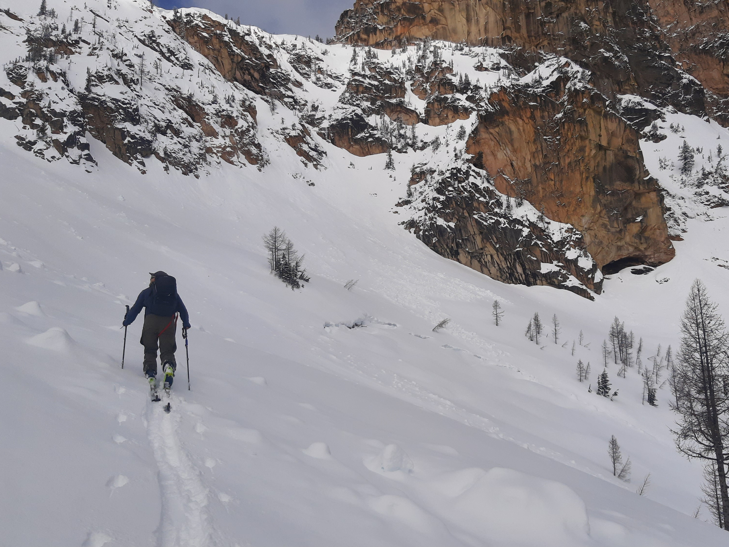
On relatively shaded slopes above 5,200ft, we found 15-24cm of recent snow above the 3/27 crust. The recent snow totals were less due to settlement and melting on slopes that were more sun-exposed and at lower elevations. Overall, the recent snow is well-bonded to the old crust. The crust is now 15-20cm thick and solidly frozen at Pencil+ to Knife hard.
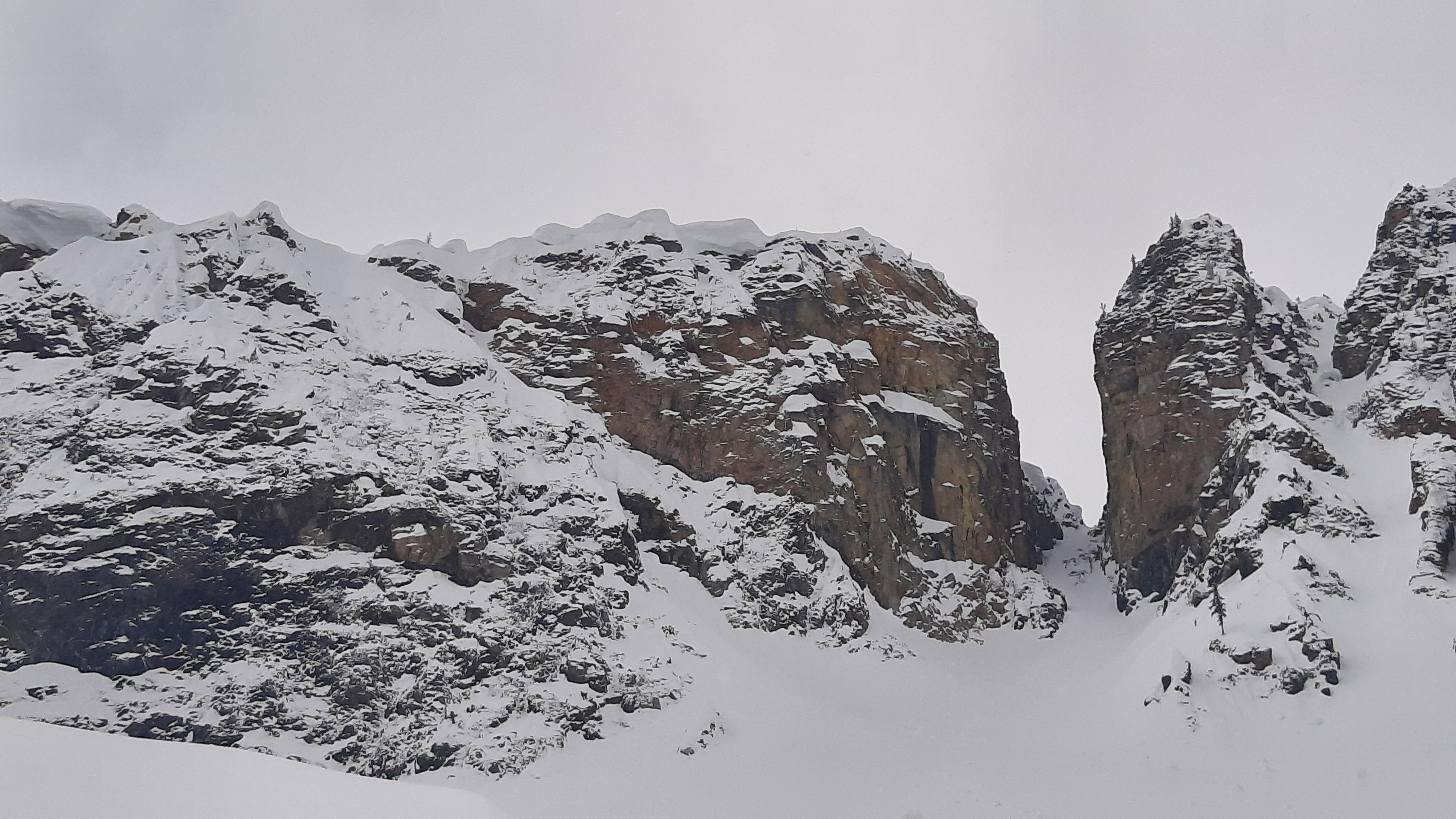
A profile site at 6,700 ft, on a north aspect in Spire Gully, had a height of snow of 304 cm. There was 24cm of recent, dry snow over 20cm of frozen crust at Knife- hardness. Below the crust was 32cm wet, weak (4Finger+) melt forms. Aside from the surface, the top 75cm had transitioned to melt forms. We found moist or wet snow in the top meter. Below that was dry snow. The mid-pack layers were all Pencil or harder. Below the weak, wet grains ↓44-76cm, we found no distinct weak layers until the lower half of the snowpack. Down 175-184cm, we found a layer of 1.0mm rounding facets that were Pencil hard with Knife- dry slabs above and below.
Avalanche
- Size
- D2.5
- Count
- 4
- Aspect
- SE
- Trigger
- N
- Elevation
- 6800 ft
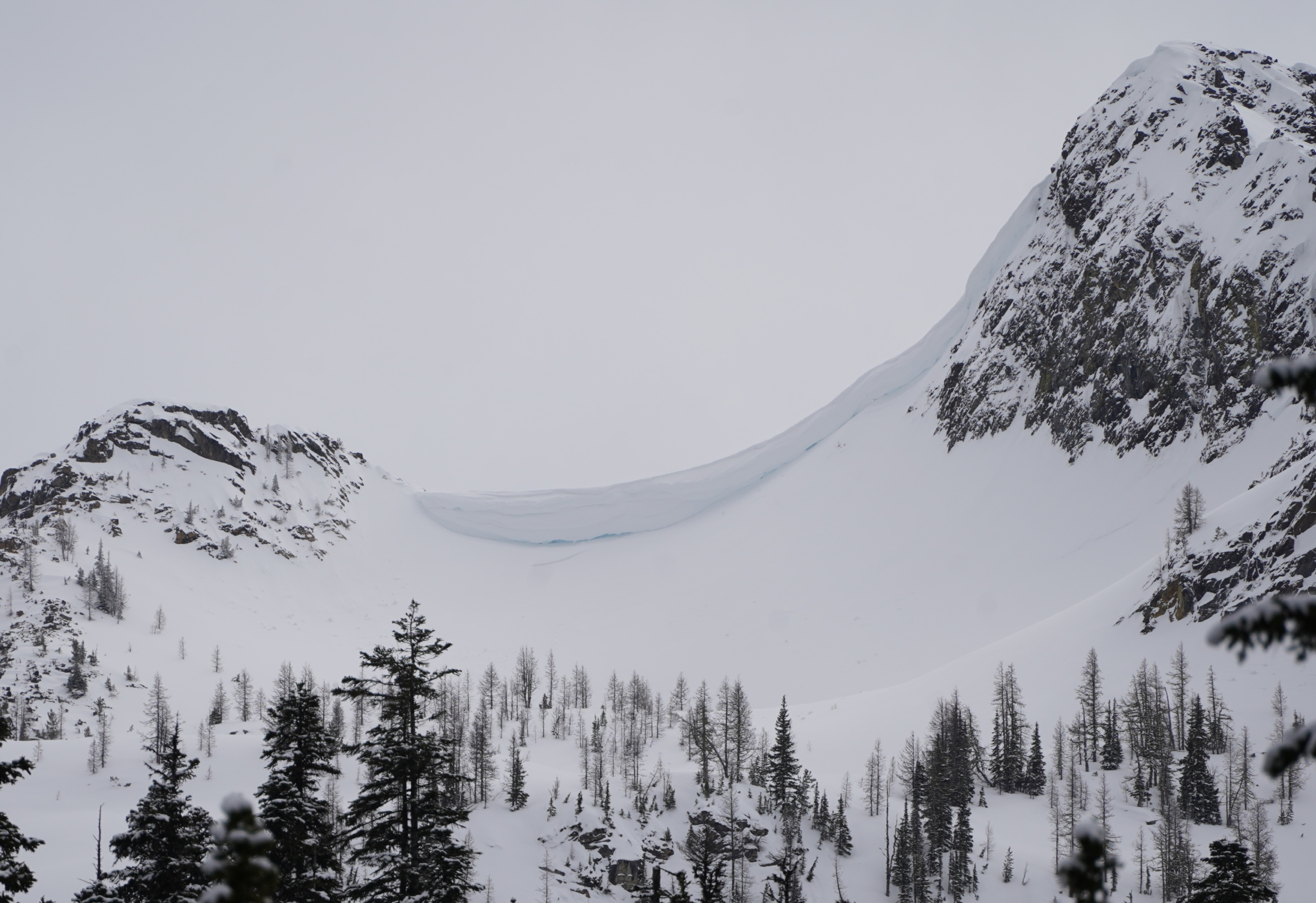
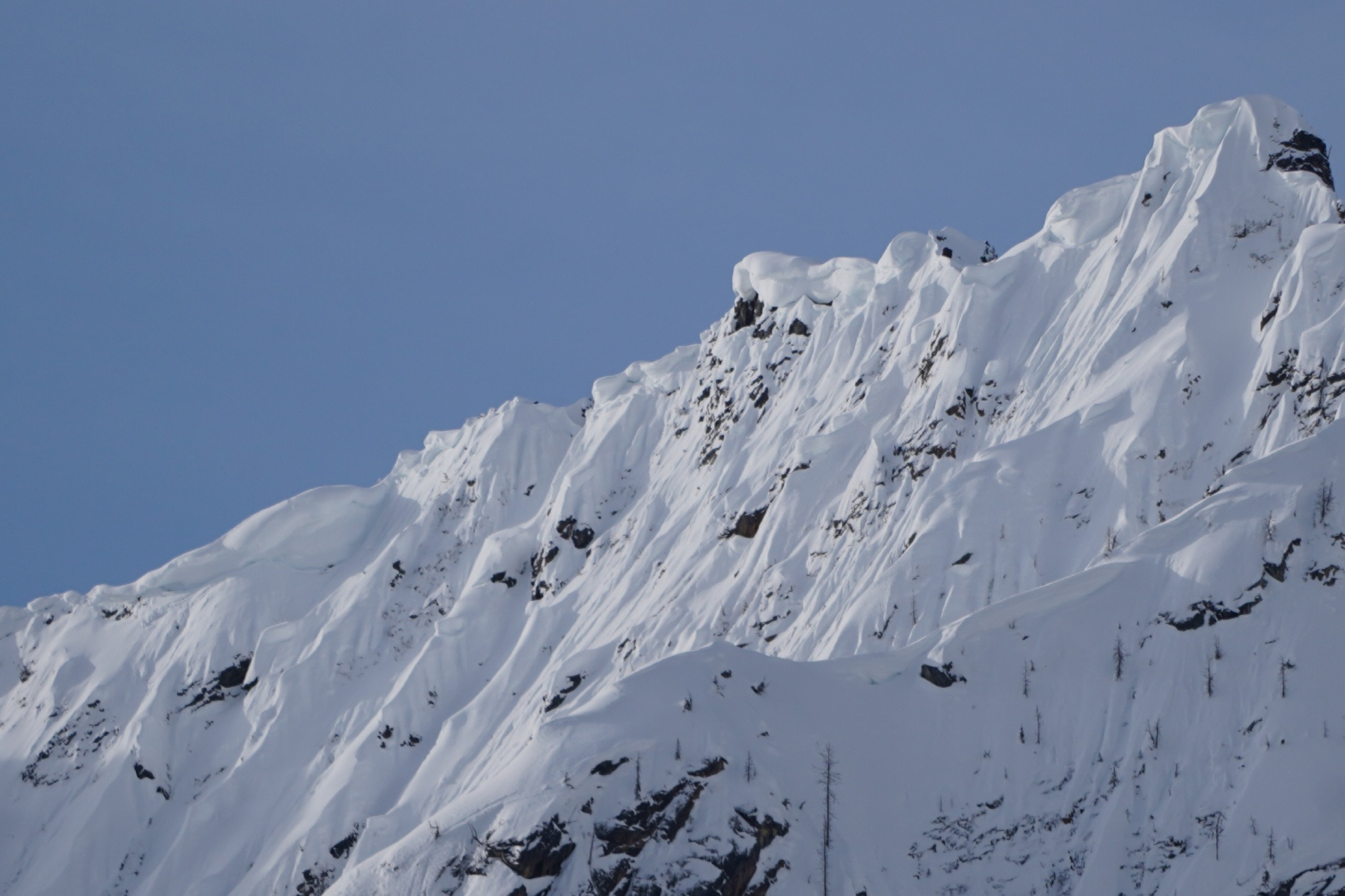
No new avalanches. Numerous wet loose, slab avalanches and open glide cracks from the March 23-27th period.