
Mores Mountain
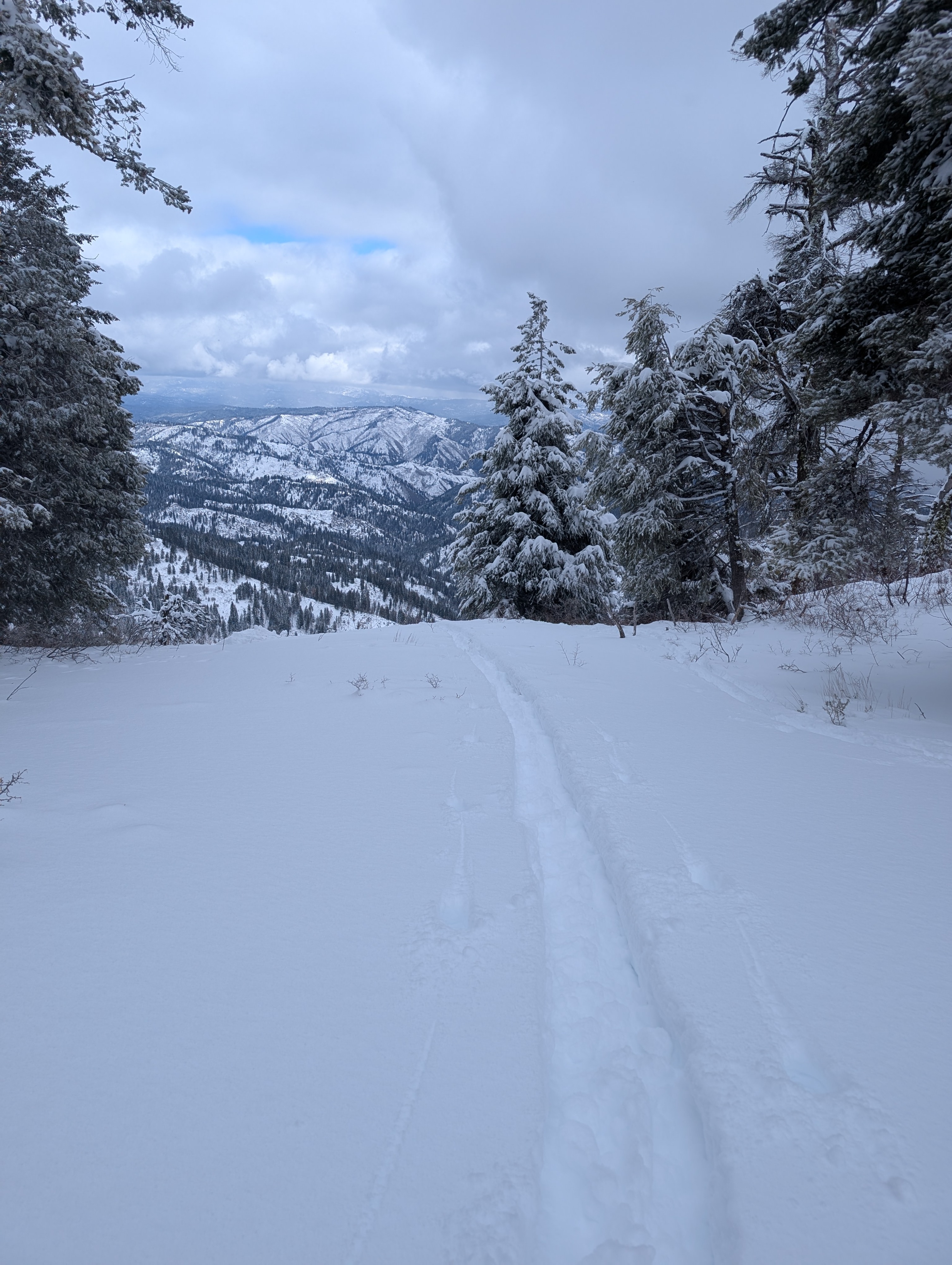
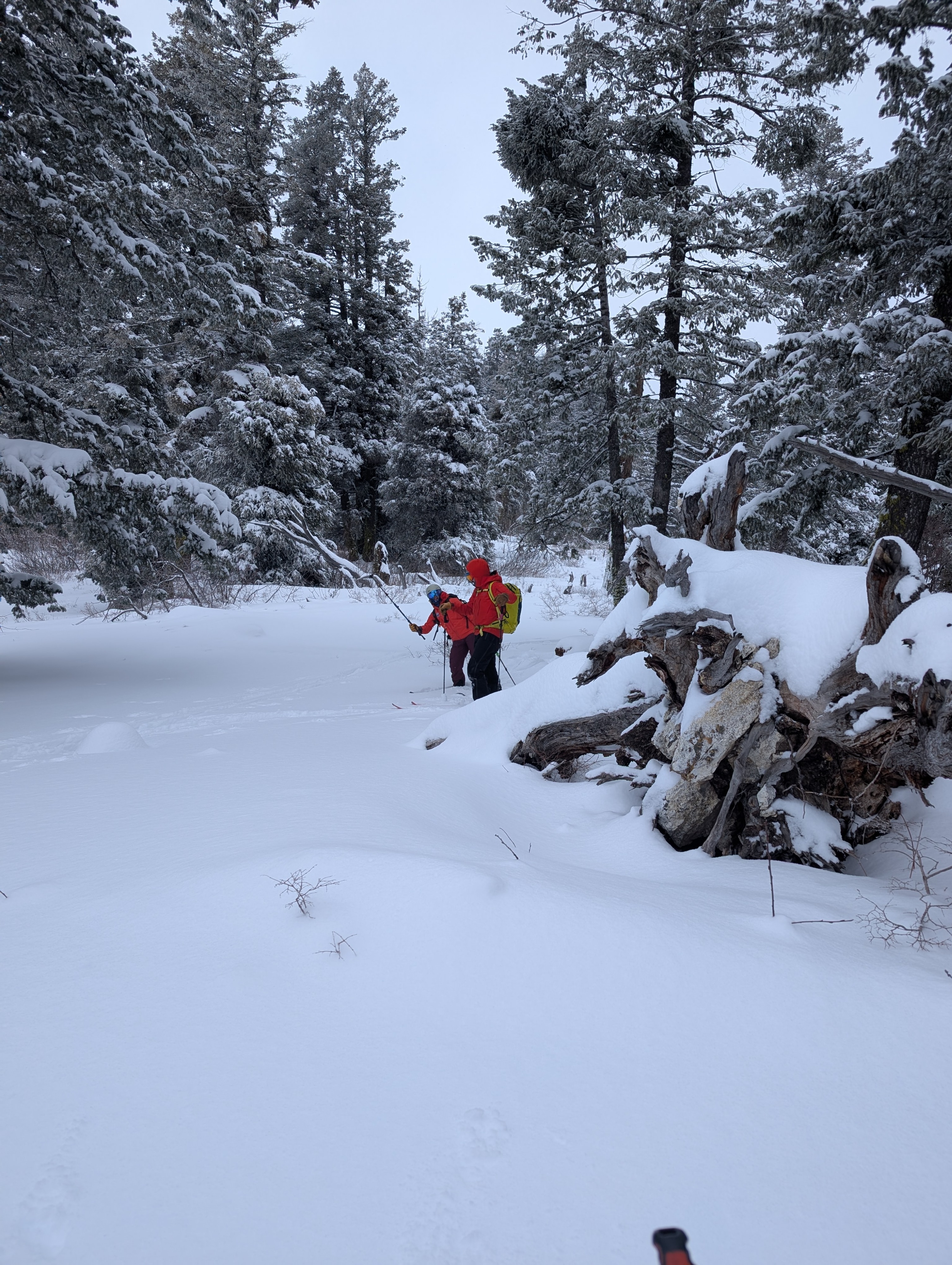
Quick report
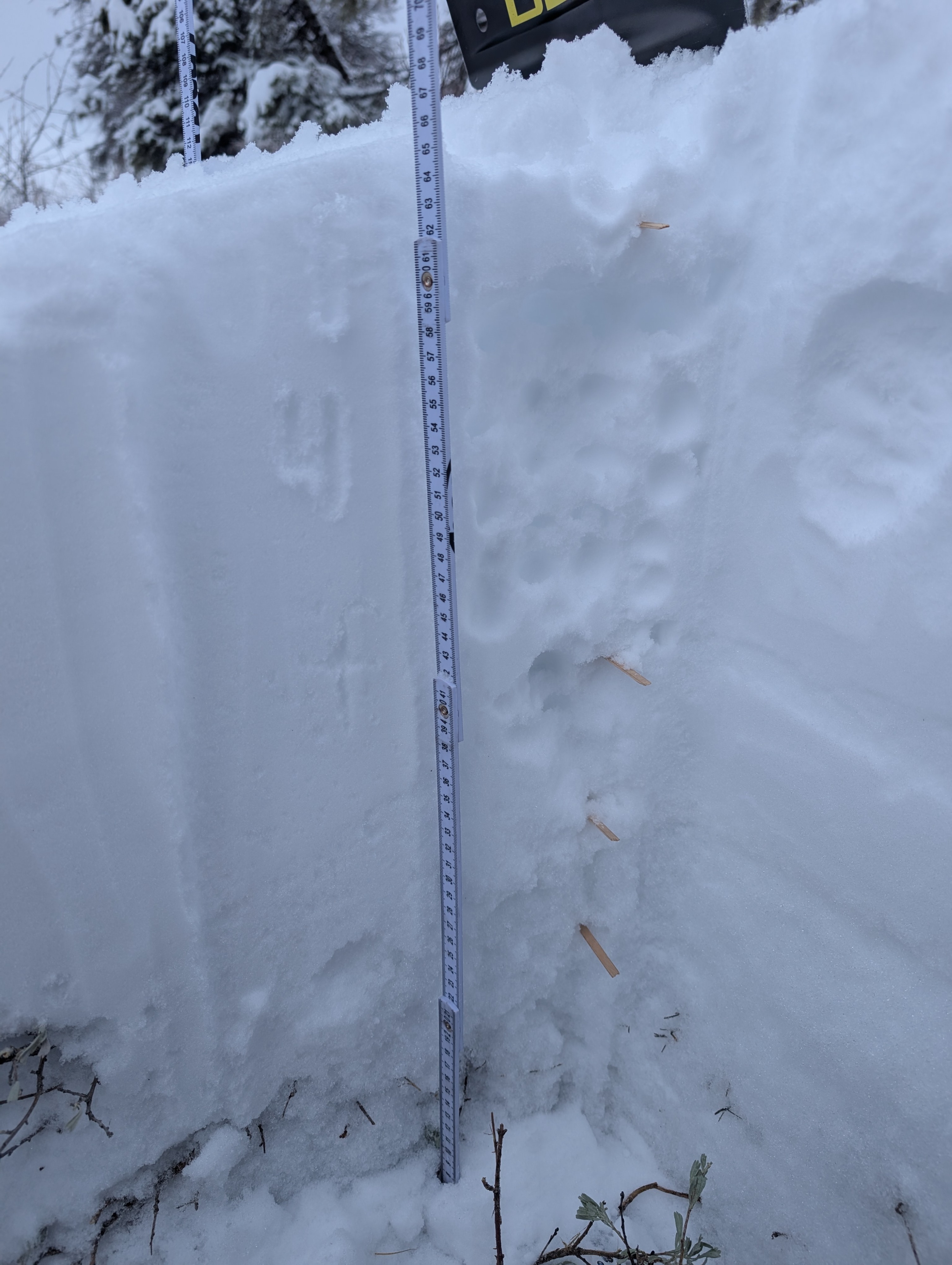
A nice overcast day with temps in the mid/upper teens. Recent storm snow is pretty soft and pits showed collapsing but no propogation. Dug a few pits on ENE aspects at 6700 ft elevation. 70cm of snow, with ~30 of that from the recent storms. CTE/N 10, 20cm down. This result was seen pretty reliably by a couple in our party in a couple different pits. ECT Q1/Q2, with the snow collapsing under taps but no propogation across the Extended Column. CTE/N 10, 20cm down. This result was seen pretty reliably by a couple in our party in a couple different pits. ECT Q1/Q2, with the snow collapsing under taps but no propogation across the Extended Column.
Weather
- Air Temp
- 16.5
- Cloud Cover
- overcast
- Wind Loading
- moderate
- Recent Snowfall
- 1
- Snow Avail For Transport
- moderate amounts
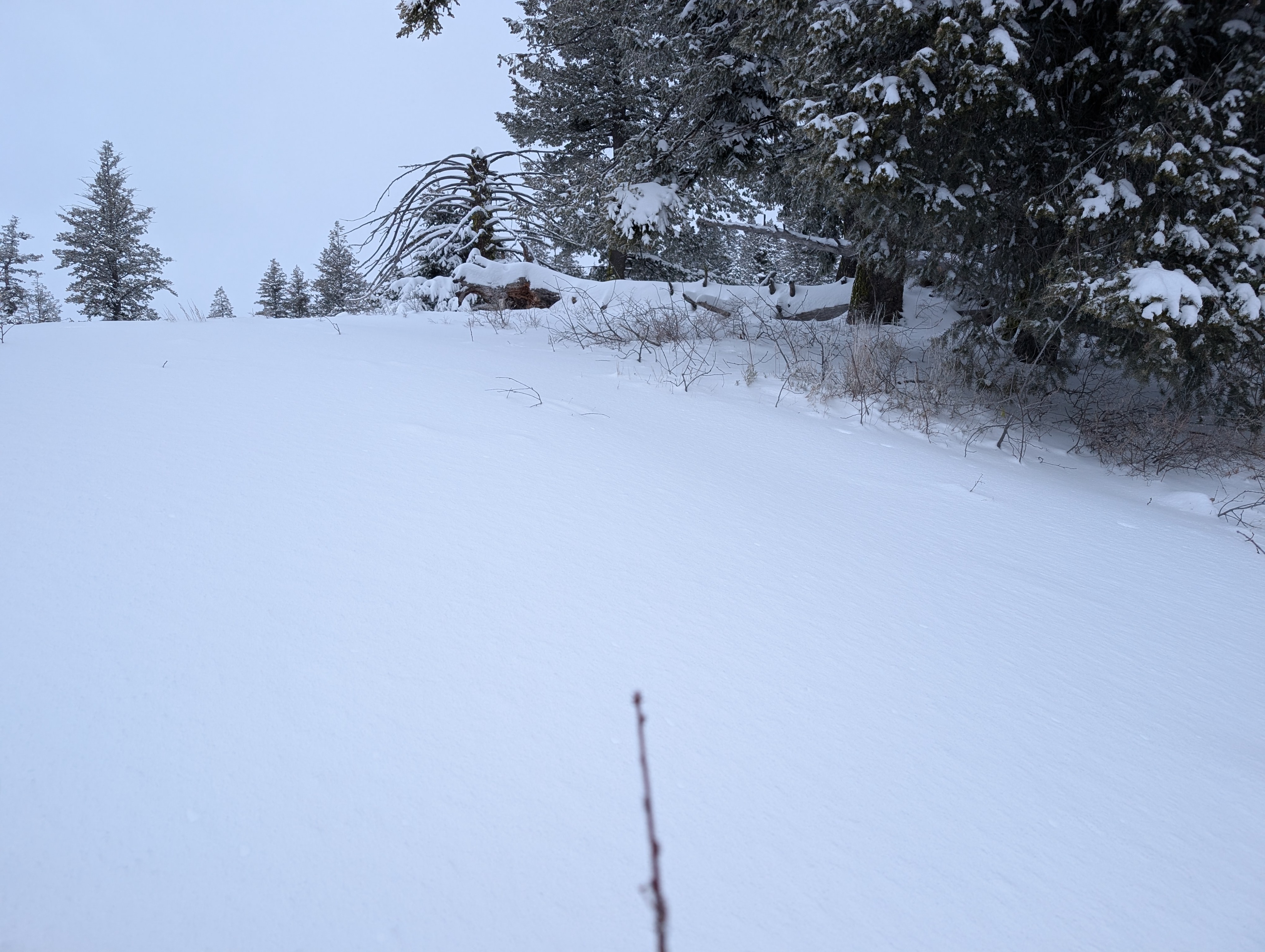
Breezier than expected with light-mod W winds sometimes transporting snow into your face. Signs of NW winds building some drifting in past days. Trace snow fell. 16.4F, -9.2C Cloud cover was mostly Overcast, with fog sometimes parting to try to show patches of blue.
Snowpack
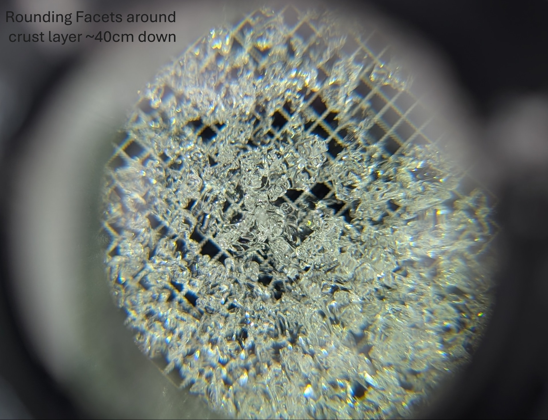
30ish cm of fresh snow from the recent storm cycle sits above a crust and more consolidated snow below. The fresher storm snow (and likely some wind-transported snow) is Fist soft at the top of the snowpack, moving down to 4f. Pit tests failed within the storm snow, at 20cm down. This seems to be the transition point of the heavier snow at the start of the storm and lighter more recent snow. While this is where instability was observed today, this interface will probably bond and make a more cohesive upper slab. Below this is a crust around 45 cm down. This crust has rounding facets on either side of it. This is a layer to monitor for propogation risk. Another thinner crust is below this with warmer and wetter snow to the ground. app.propagationlabs.com/ob/hhtxlHS6147DIBumr6gb