
Quick report
Wet avalanche problems may linger for another day or two. Surface freezes will begin to cap the upper snowpack. 6-12" of new snow forecasted by Saturday evening will likely generate shallow, new snow problems (wind slab, dry loose, etc.) at this new/old interface.
Weather
- Cloud Cover
- overcast
- Wind Loading
- moderate
- Rain Elevation
- 6000
- Recent Snowfall
- Trace
- Snow Avail For Transport
- small smounts
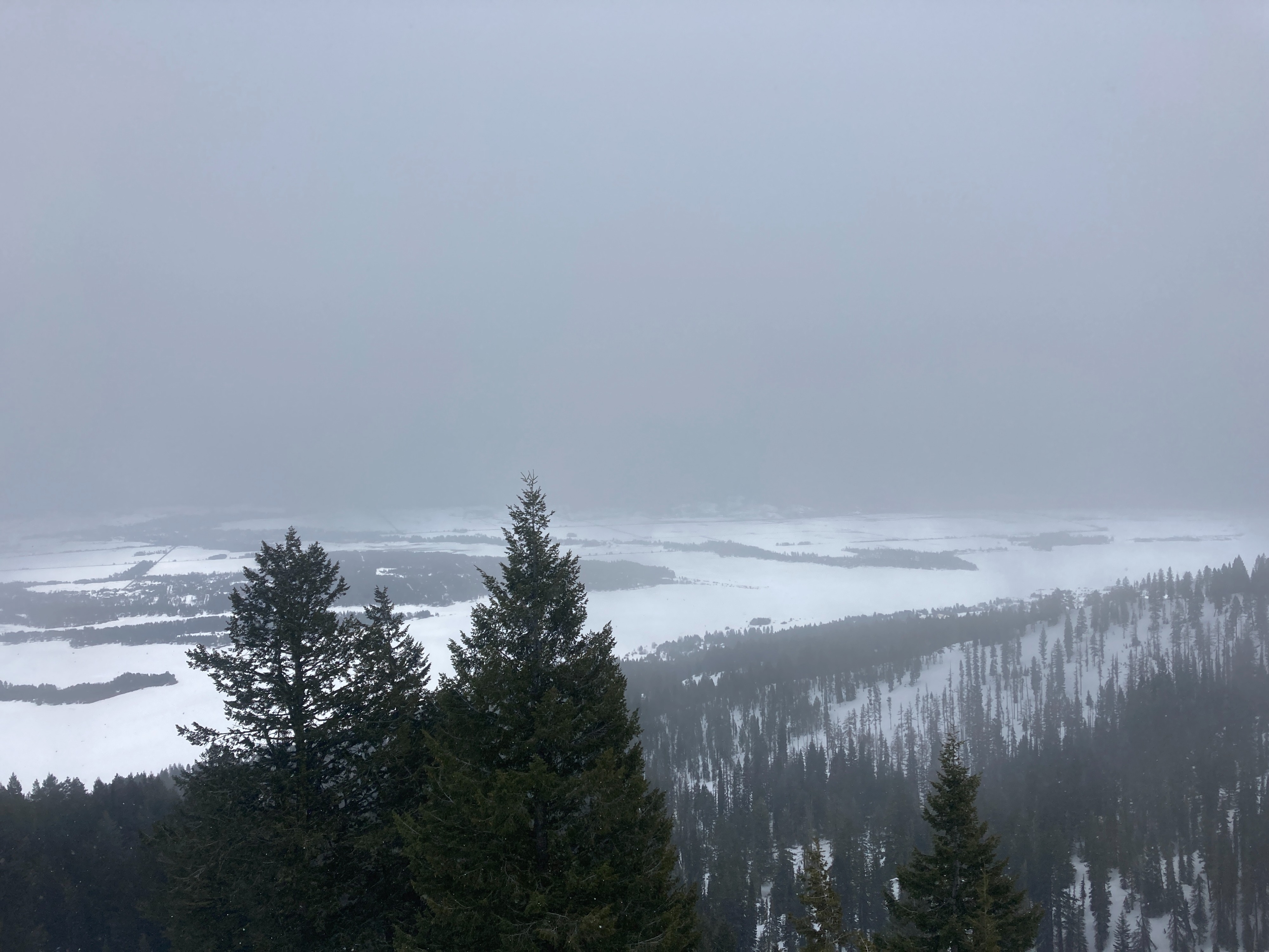
Intermittent rain below 6000'. Snow showers above 6500'. Winds were gusting over 40 MPH at the top of Tamarack out of W/SW. Very small amount of new snow getting blown around onto leeward features.
Snowpack
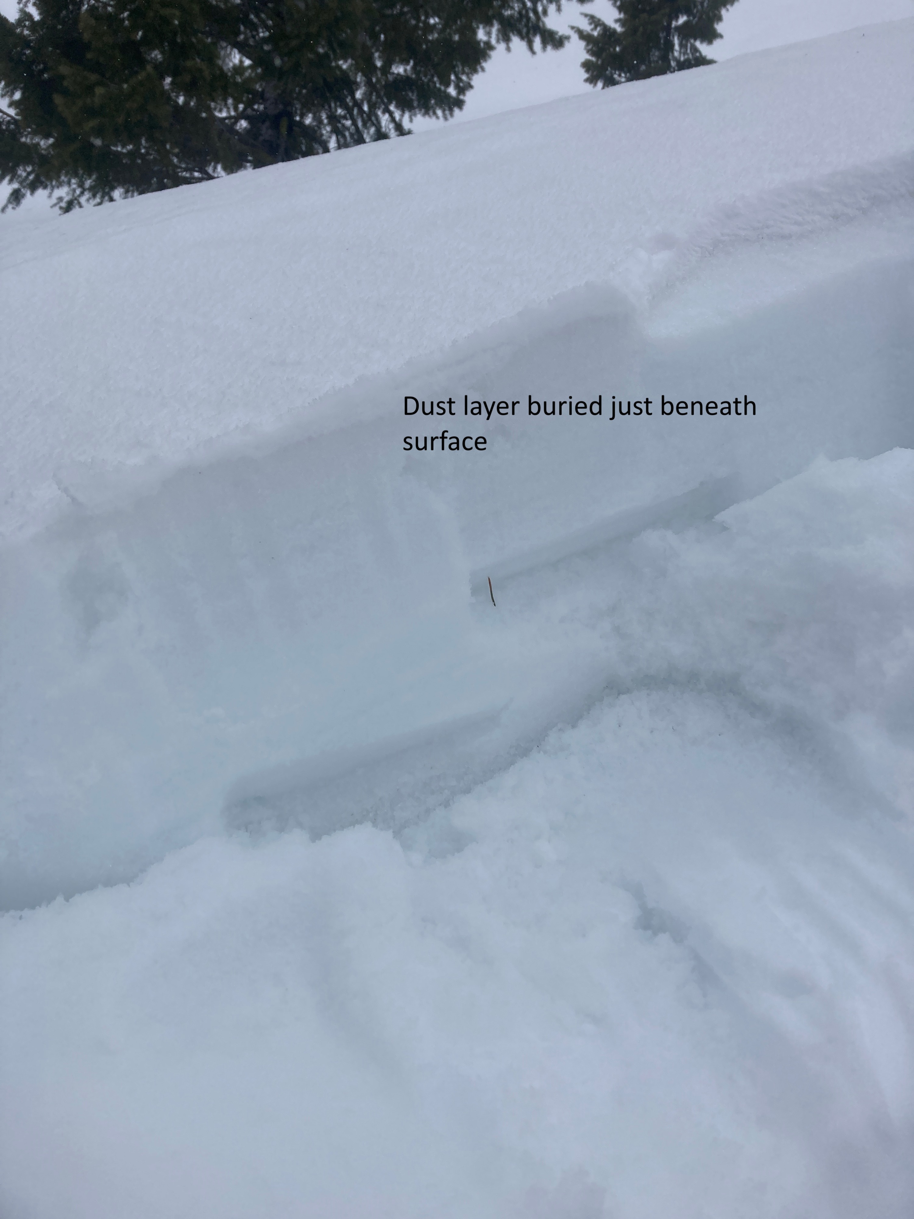
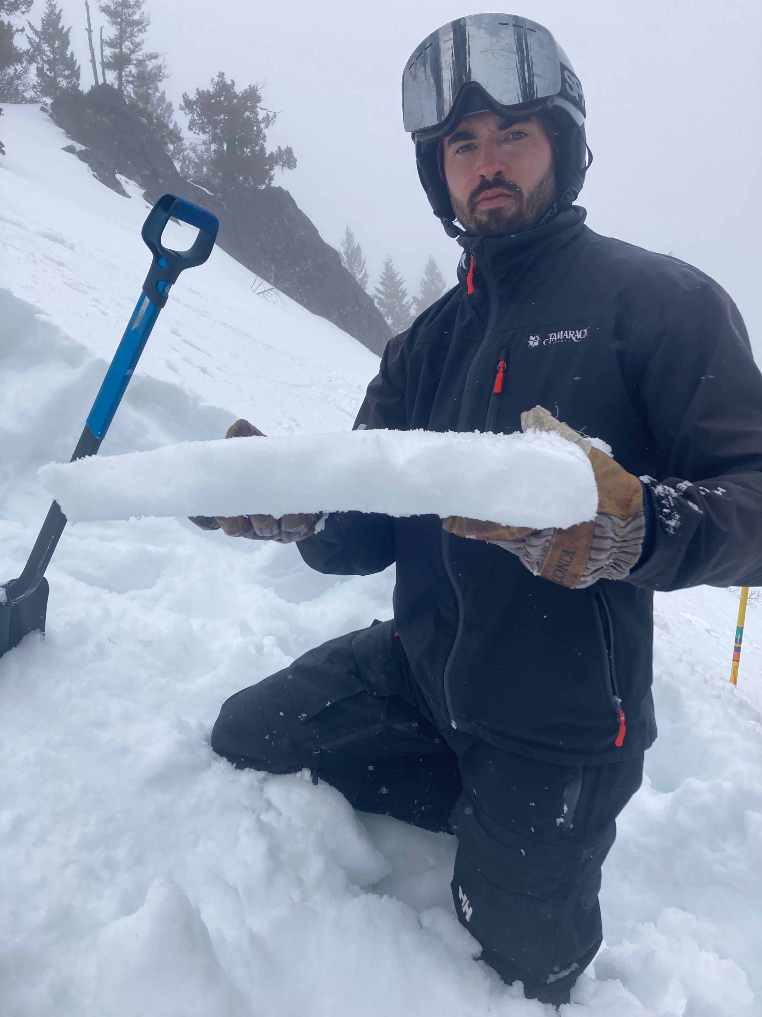
Still a very wet snowpack from our recent heat wave. Although melt water has begun to slow, water has been pooling on buried crusts, maintaining the potential of wet avalanche activity. The ongoing cool down will decrease wet avalanche activity. With so much melt water over the past 4-5 days, it will take a few days to lock up this saturated snowpack. Wet, mushy snow could remain for another day or two, especially at lower elevations. A stout, melt-freeze crust is forming at the surface and will likely be the interface of future instabilities within the new storm snow. A subtle dust layer was observed just beneath the surface.