
Weather
- Air Temp
- Above freezing
- Cloud Cover
- broken
- Wind Loading
- moderate
- Recent Snowfall
- 0
- Snow Avail For Transport
- large amounts
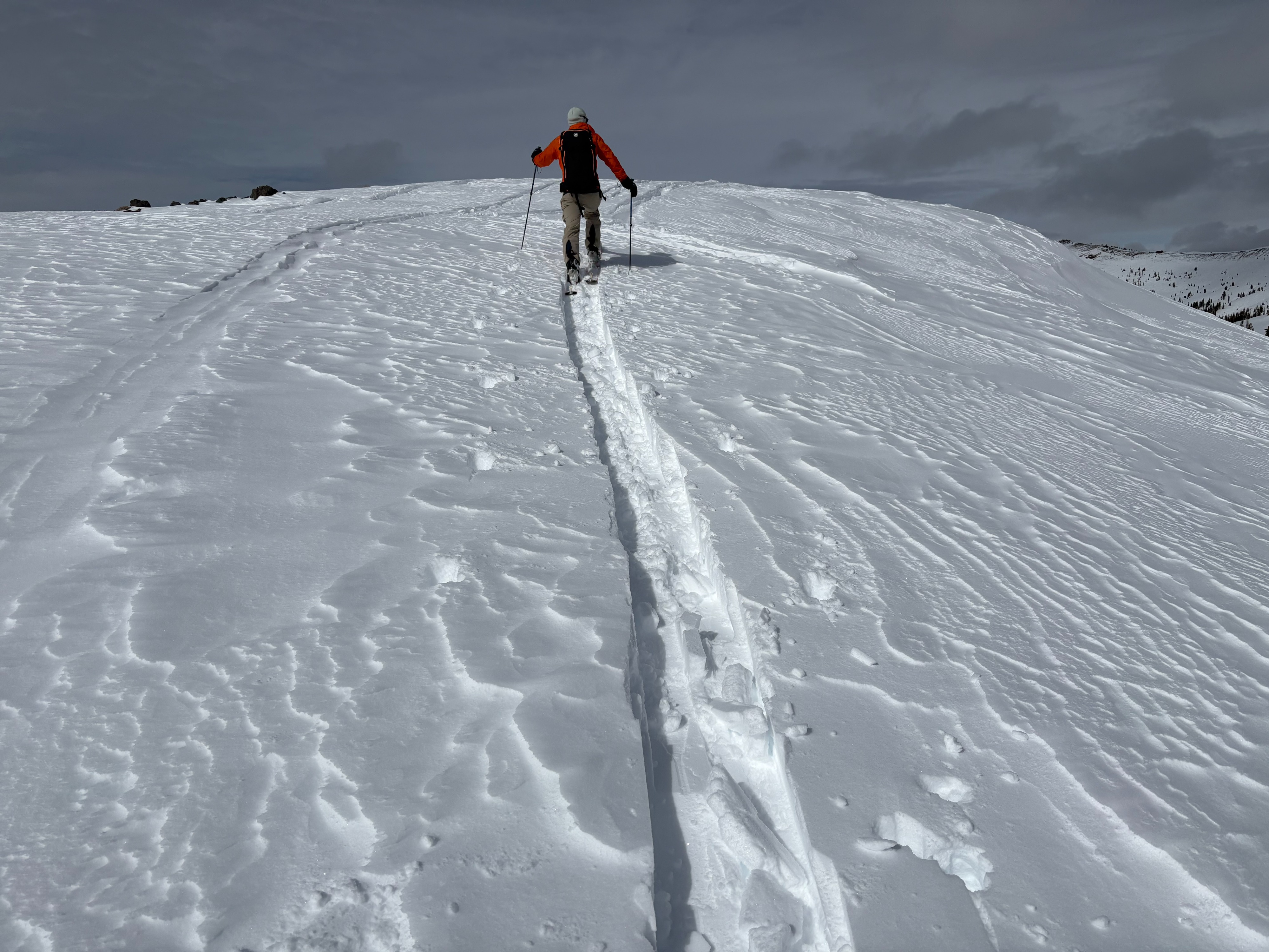
Partly cloudy to mostly cloudy skies throughout the day with slightly warmer temperatures than yesterday. SW winds increased around midday, with speeds becoming strong at 1pm.
Snowpack
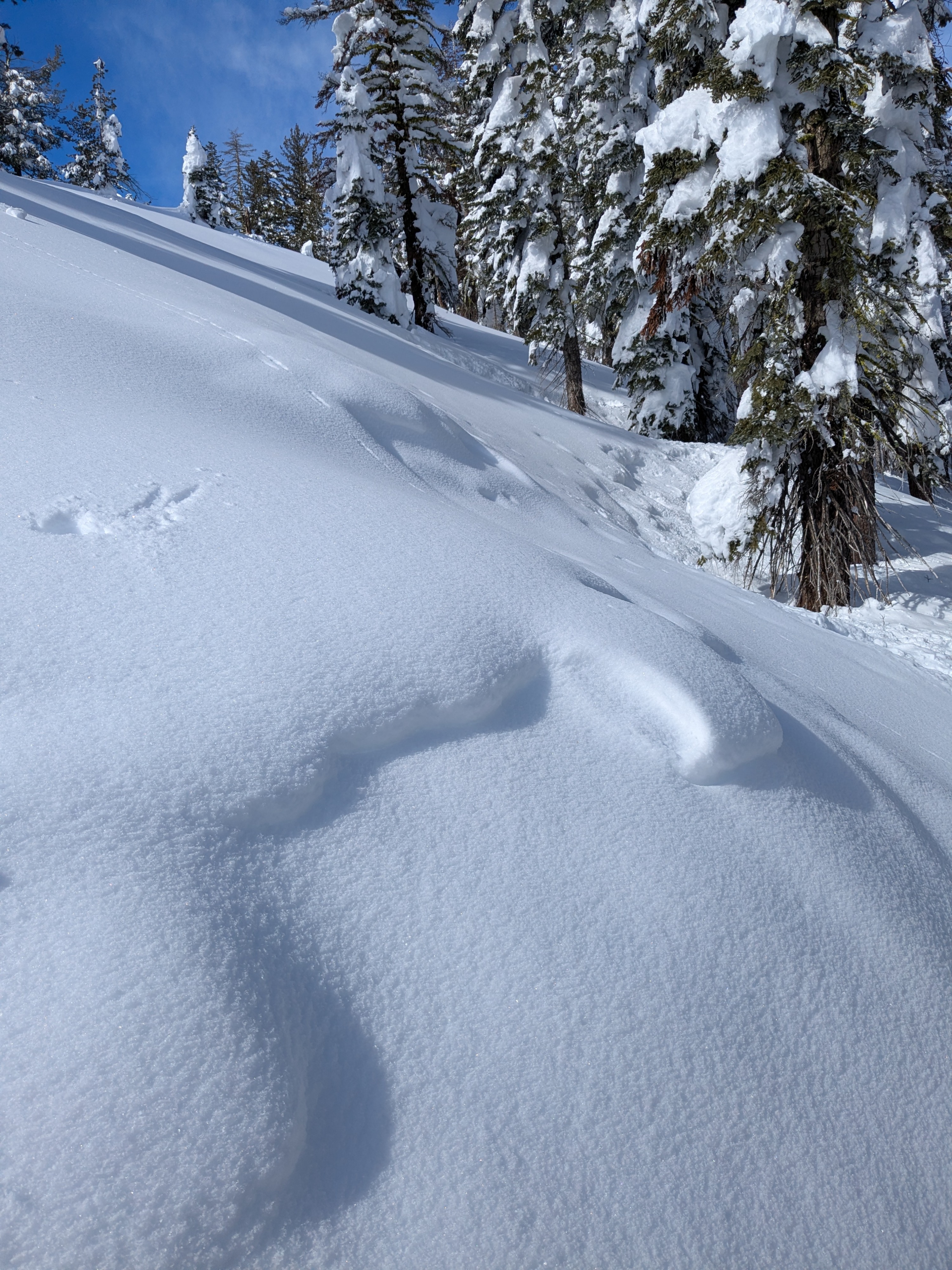
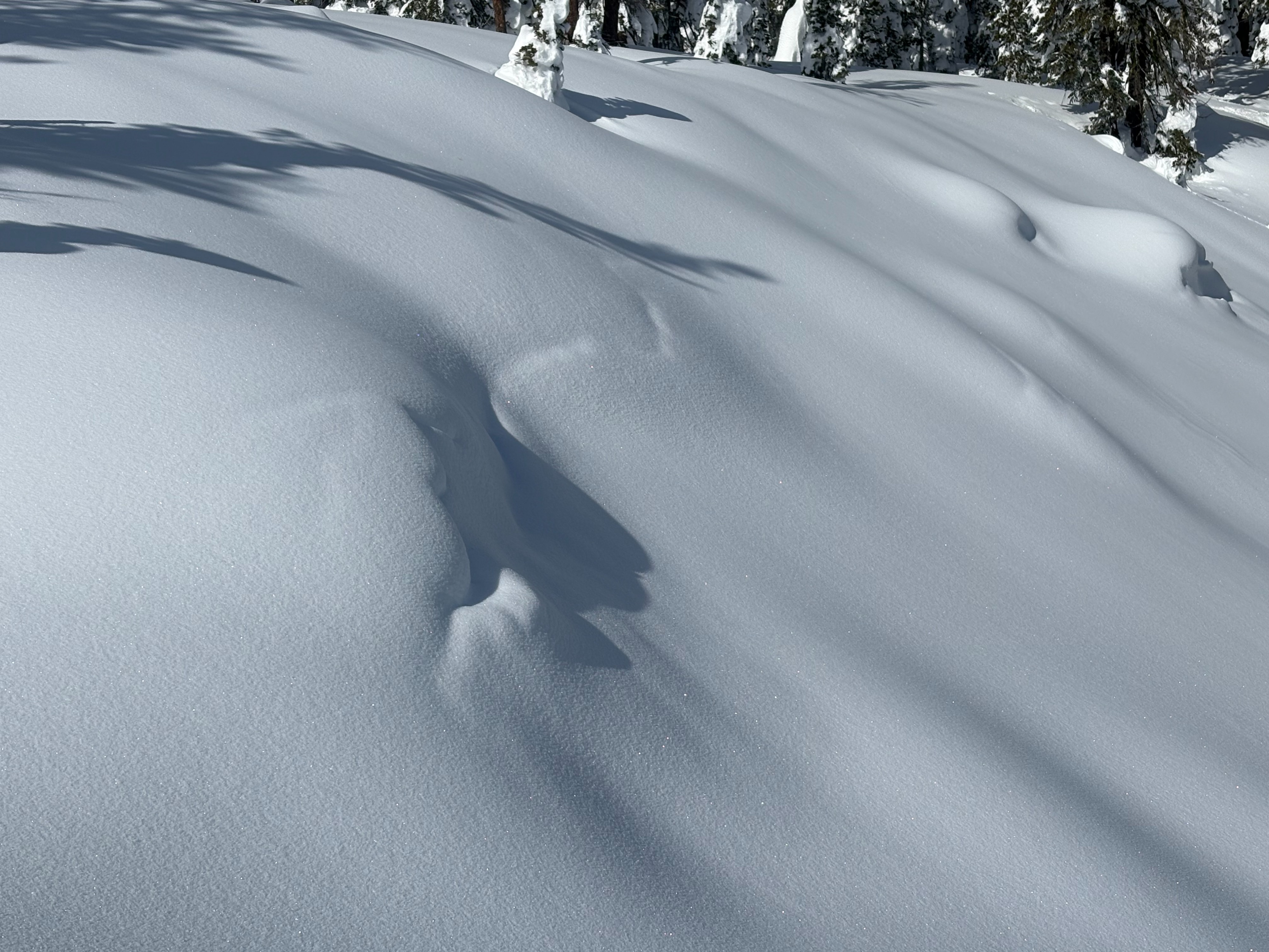
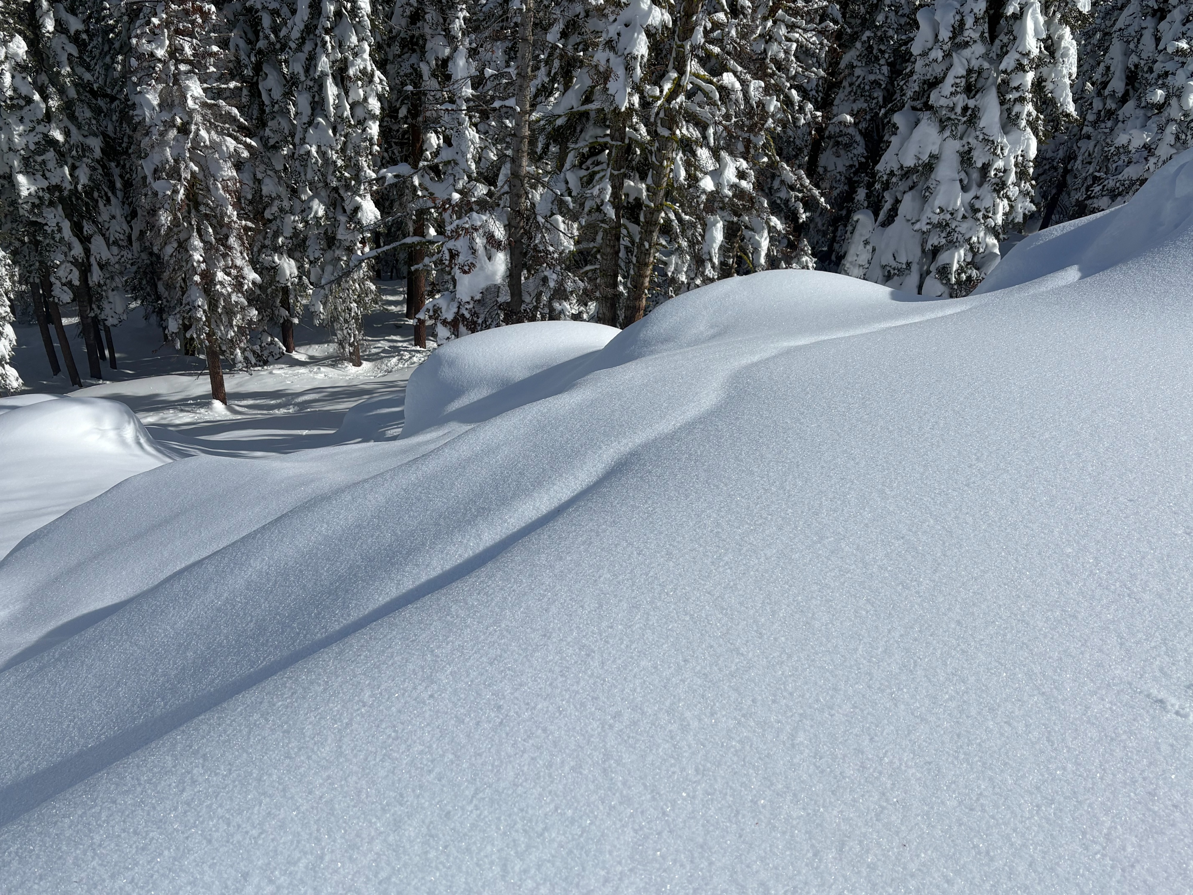
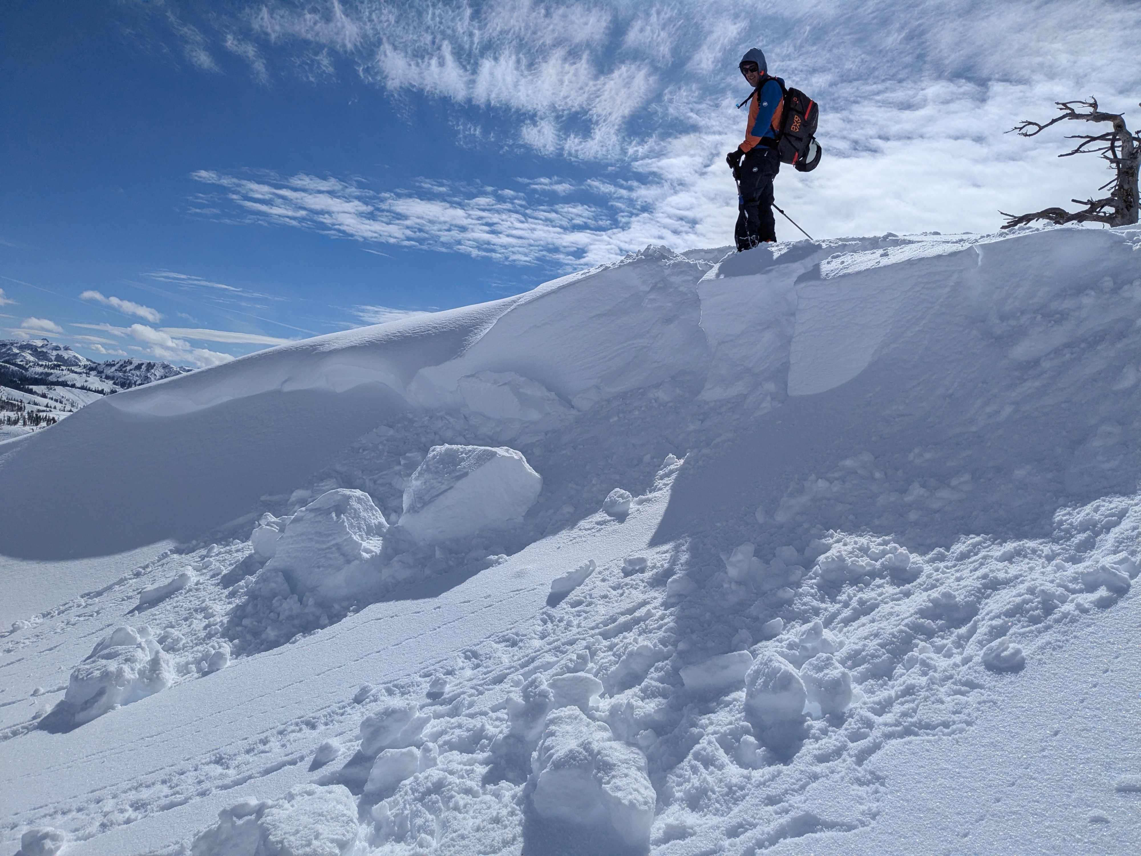
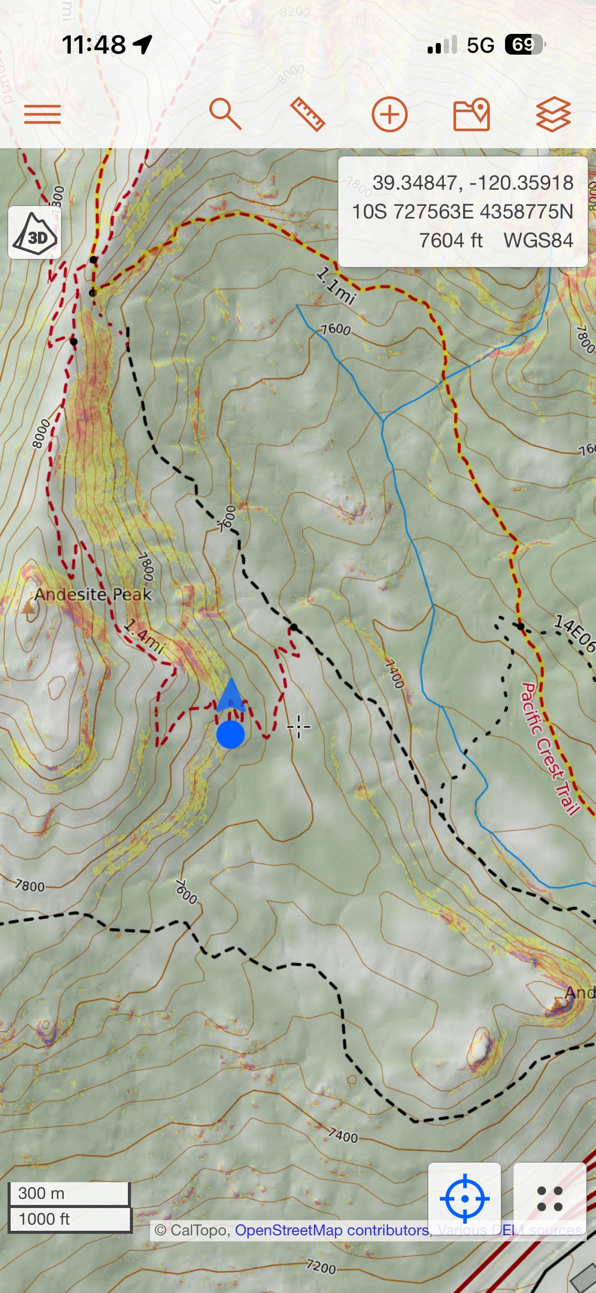
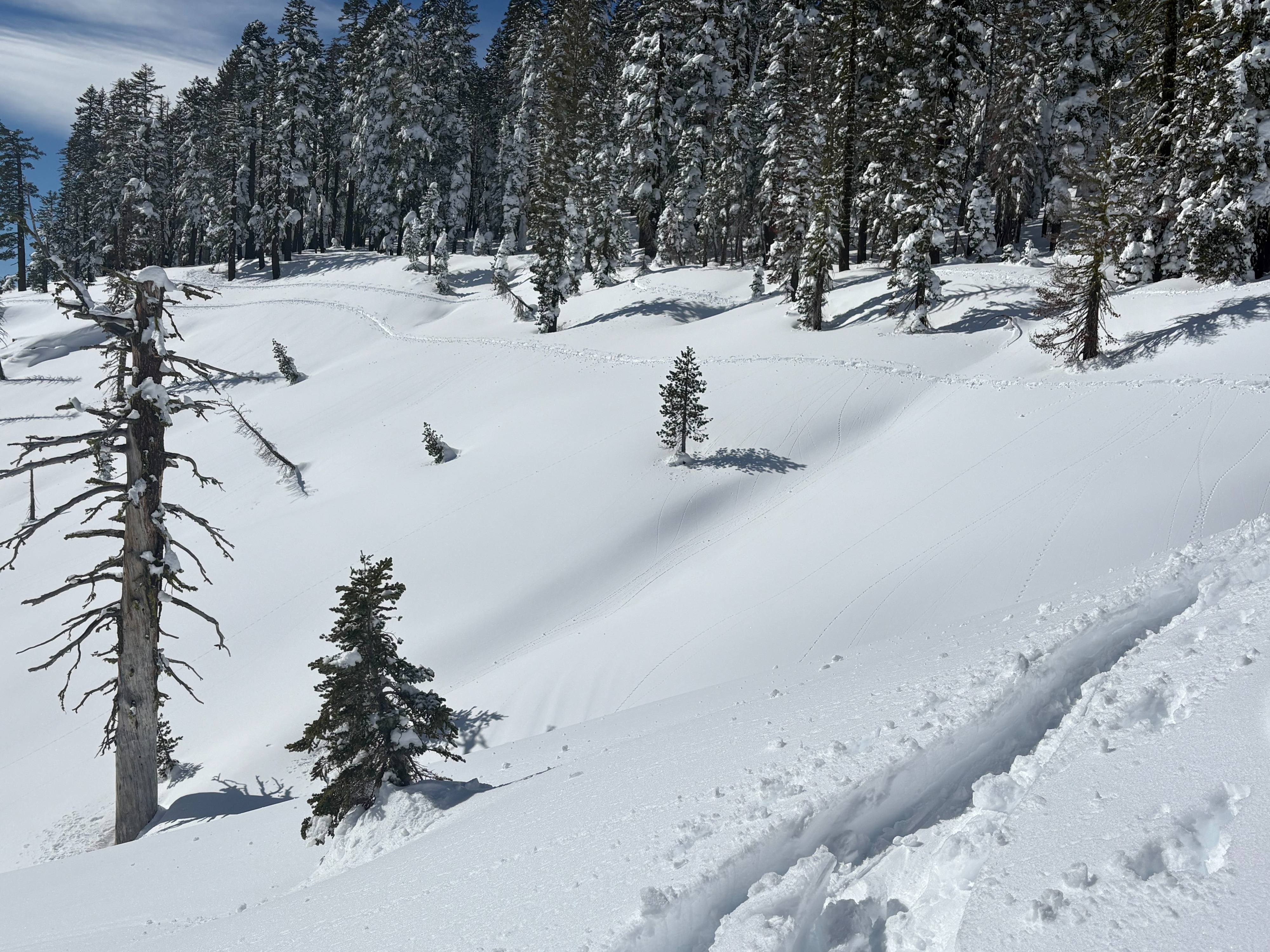
Multiple observations have reported whumpfing and collapsing on SE-S-SW aspects over the last 2 days. This brings up questions about the old snow surface on these aspects and strength around the Feb 12 rain crust. We decided to target similar aspects and elevations from these observations today. We traveled in less frequented areas in the Andesite Ridge area looking for any signs of instabilities. We dug a test pit at the screenshot location provided, but did not see any signs of instabilities or unstable test results. We saw widespread evidence of a natural storm slab avalanche cycle that occurred on Thursday Feb 19, failing on a layer of needle crystals. Winds increased by midday with blowing snow observed in exposed locations with large amounts of recent snow available for wind transport.
Avalanche
A widespread natural storm slab avalanche cycle occurred on Thursday Feb 19. These avalanches were covered up by additional storm snow, but were still visible on many slopes. These avalanches were failing on a layer of needle snow crystals at a density change in the storm snow. No signs of continued instability on this layer.