
Quick report
- Cracking
- isolated
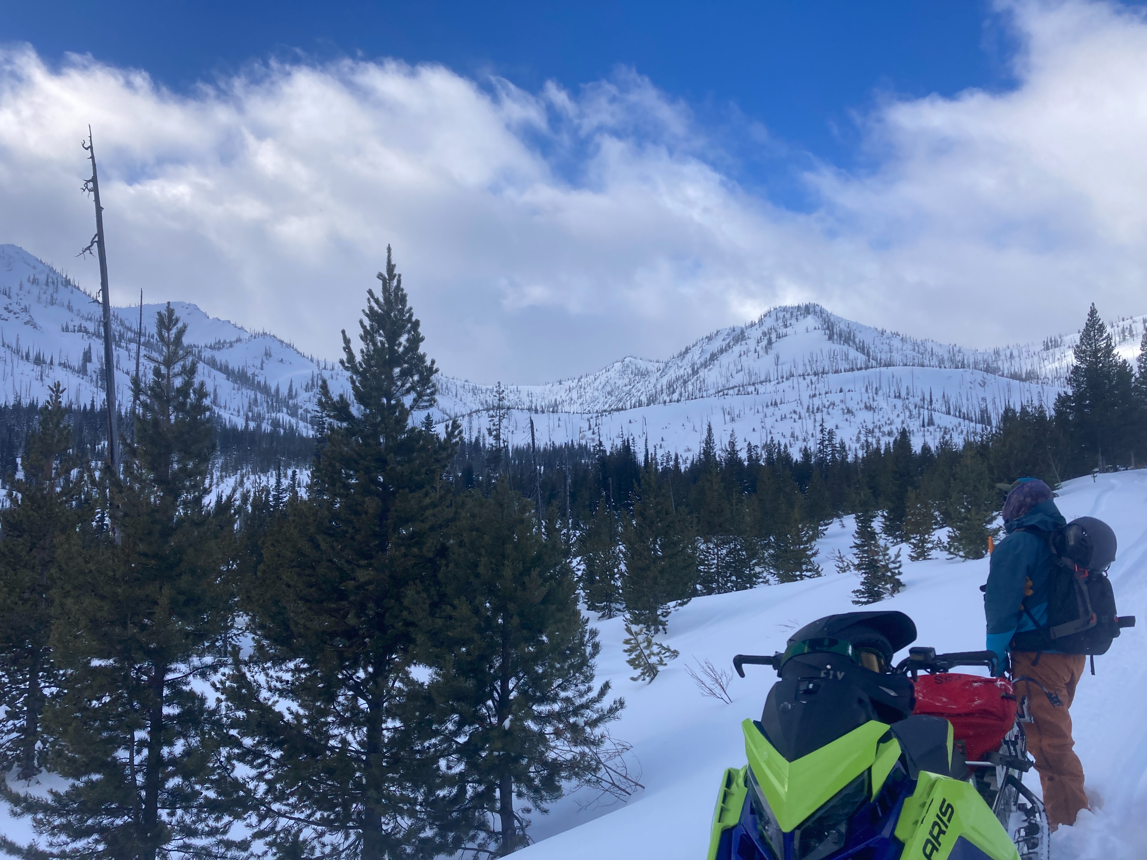
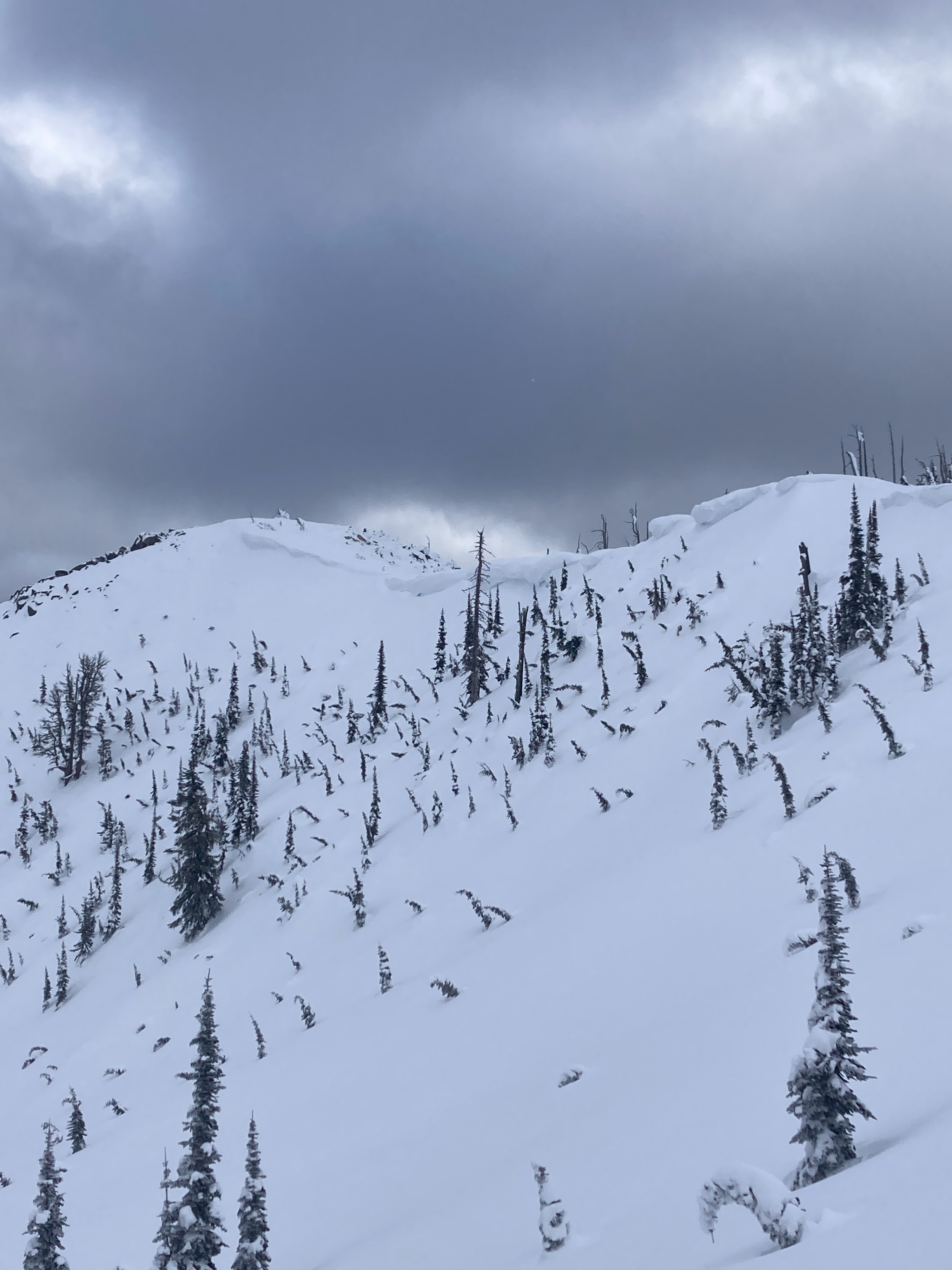
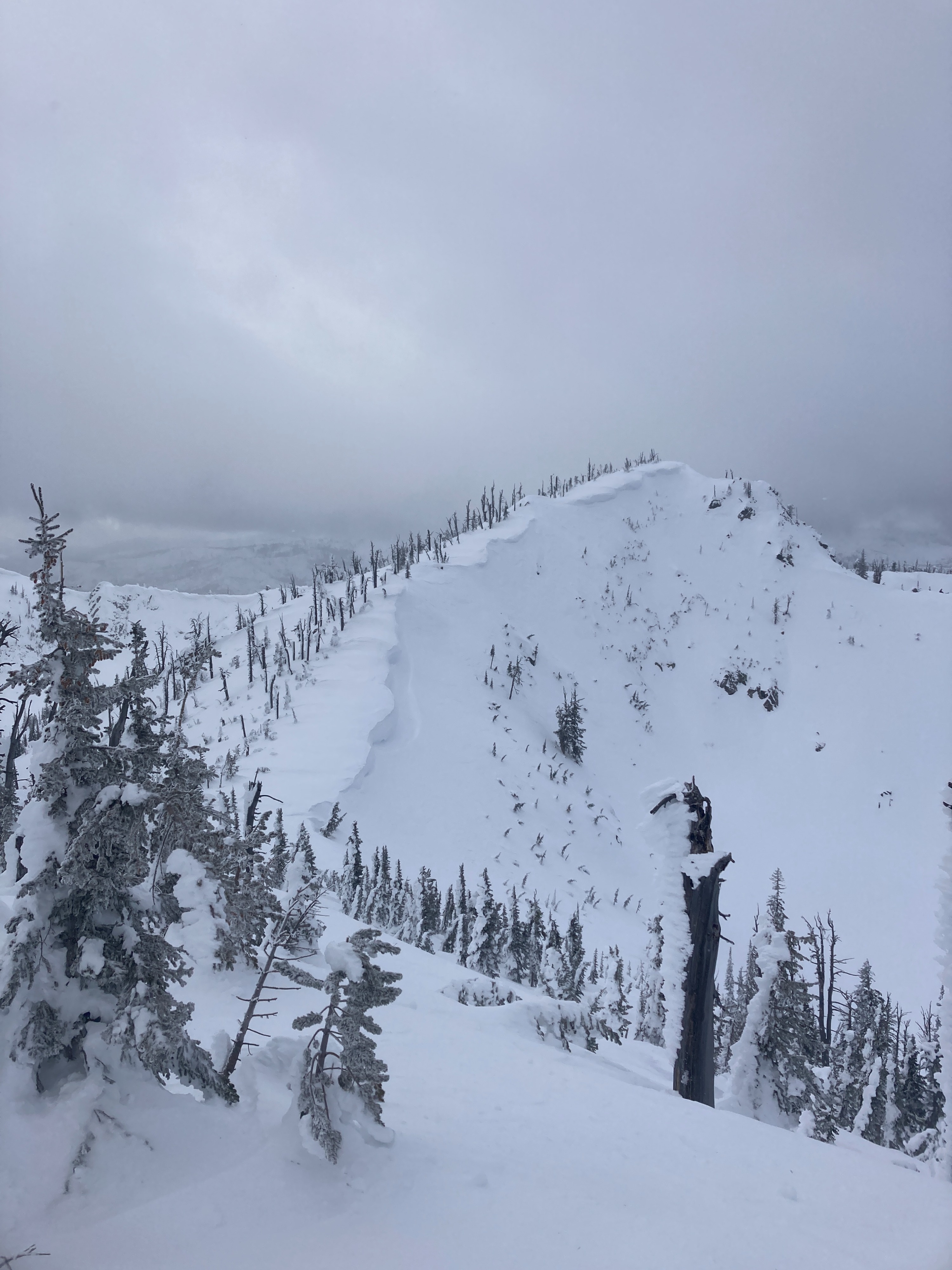
Stable snowpack conditions were observed on our tour today. Terrain above 7000' has been impacted by recent NW winds. Slopes that have a solar tilt had a thin melt freeze crust. NW winds were moving small amounts of snow around above 7500'. Areas that are holding the 01/03 rain crust (generally below 7800'), have weak, faceted snow above and below the crust. Faceting has been less productive at upper elevations due to the lack of no rain crust and warmer air aloft from the inversion.
Signs of instability were very limited on our tour today. Isolated cracking along ridgelines from recent NW winds. Fresh, soft cornice formation on E/SE-facing slopes.Weather
- Cloud Cover
- broken
- Wind Loading
- light
- Recent Snowfall
- 1-2
- Snow Avail For Transport
- small smounts
Scattered to broken skies to start the day with small glimpses of sun during the AM. Pre-frontal winds ramped up late AM through early PM out of the NW, gusting 20-30 MPH along ridgelines. Winds subsided slightly later in the PM, but wind chill values were dropping fast. Skies became overcast during the PM.
Snowpack
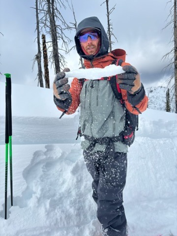
We dug two different pits today. One was at 7350', W/NW aspect, HS 230 cm (7.5 ft.). 5-10 cm of dense wind-affected snow at the surface. Knife hard rain crust (01/03) 40 cm (16") down with facets above and below the crust. CT 13 SC, ECTN 16, 23 cm (9") down on 01/10 interface (DF & FCsf). CT 30 BRK, ECTN 23, 45 cm (18") down, failing on FC below 01/03 rain crust. Second pit was at 7980', E/NE aspect, HS 280 cm (9 ft.). Stable, rightside up snowpack at this location. Rain crust not present. Hard CT results on interfaces 25 and 35 cm down (10-14") down. ECTN 27 and ECTX on those interfaces.