
Quick report
Avalanche hazard is on the rise especially with new snow and gusty SSW winds building wind slabs. Lower in the snowpack our November facets are producing moderate to hard propagating results indicating potential weak layers that don't seem like they could hold much now but may strengthen before a big load by this weekend.
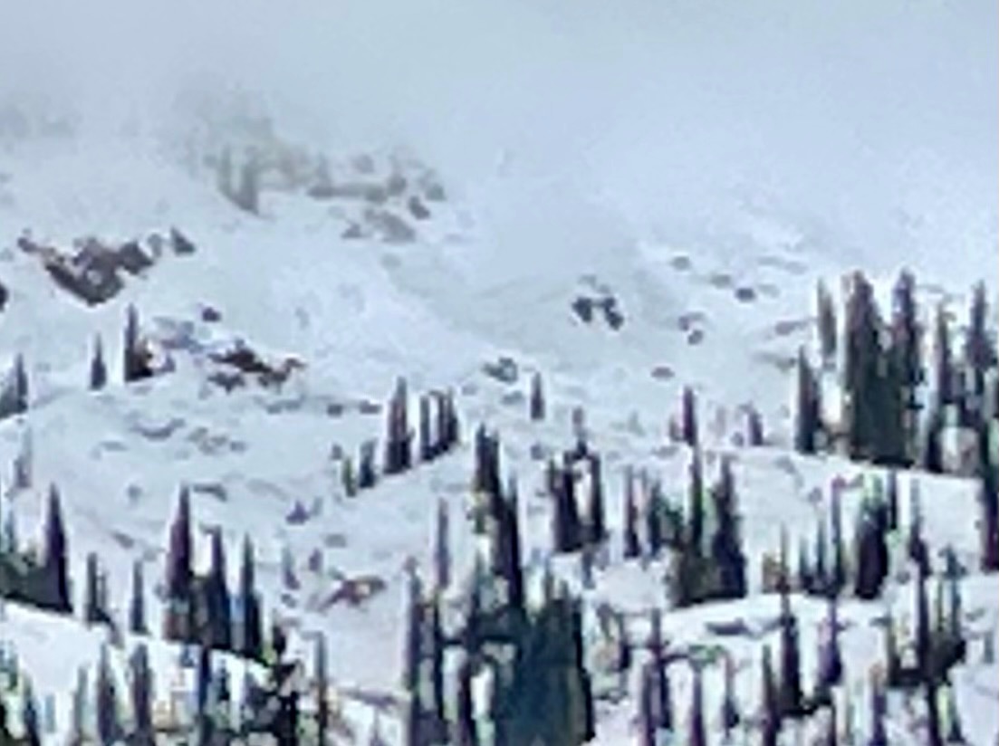
Avalanches observed were likely a few days old from this past Friday-Saturday when record high temps and Sun was the winner.Weather
- Air Temp
- 32
- Cloud Cover
- broken
- Wind Loading
- light
- Rain Elevation
- 6800
- Recent Snowfall
- 5
- Snow Avail For Transport
- small smounts
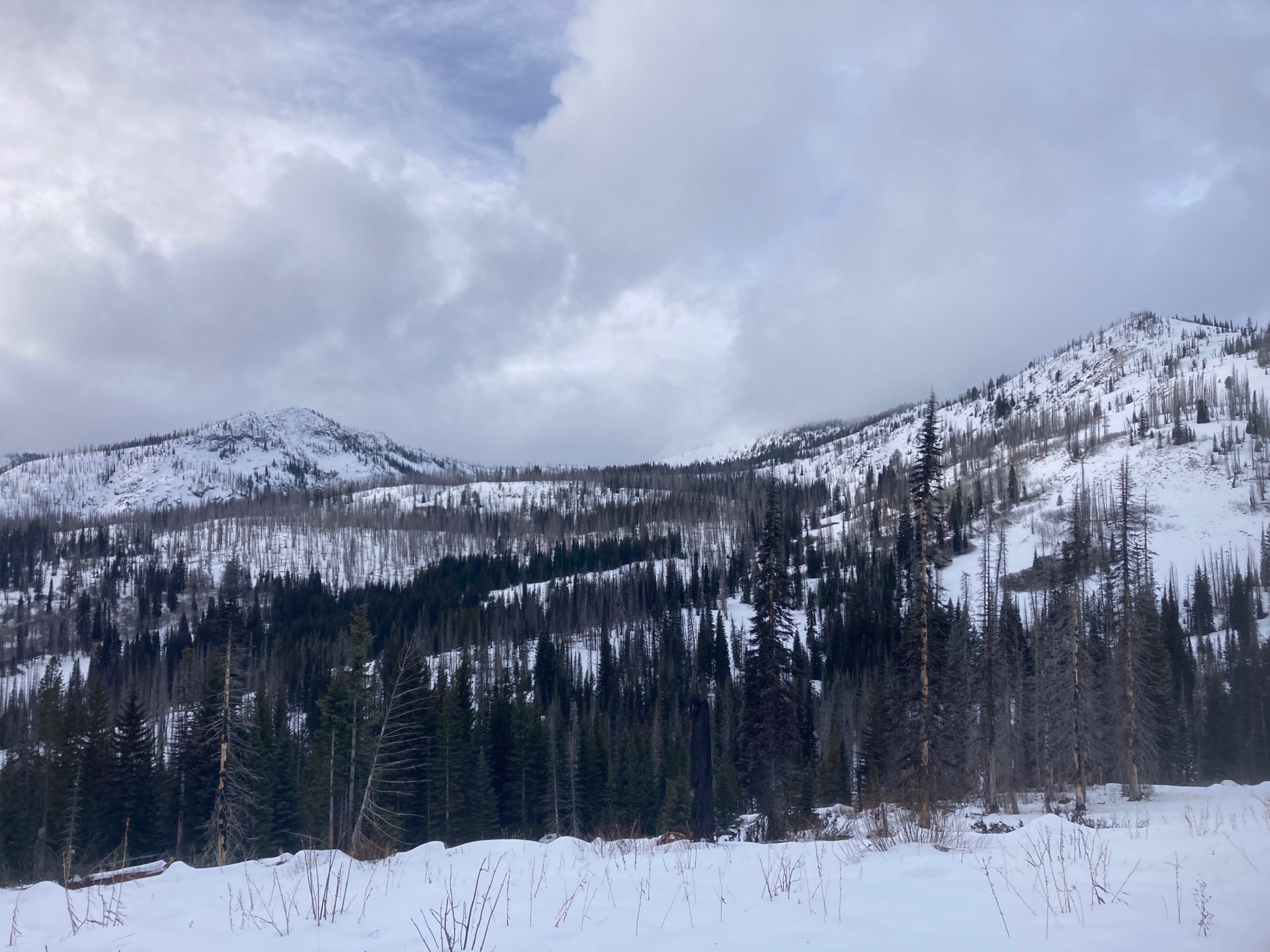
Winds were out of the South and were increasing with moderate gusts. Temp was hovering right around the freezing mark. Visibility was good with some breaks but much poorer to the NW towards Patrick Butte.
Snowpack
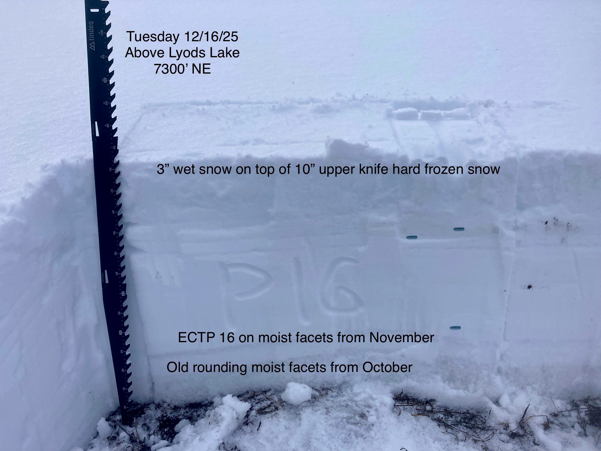
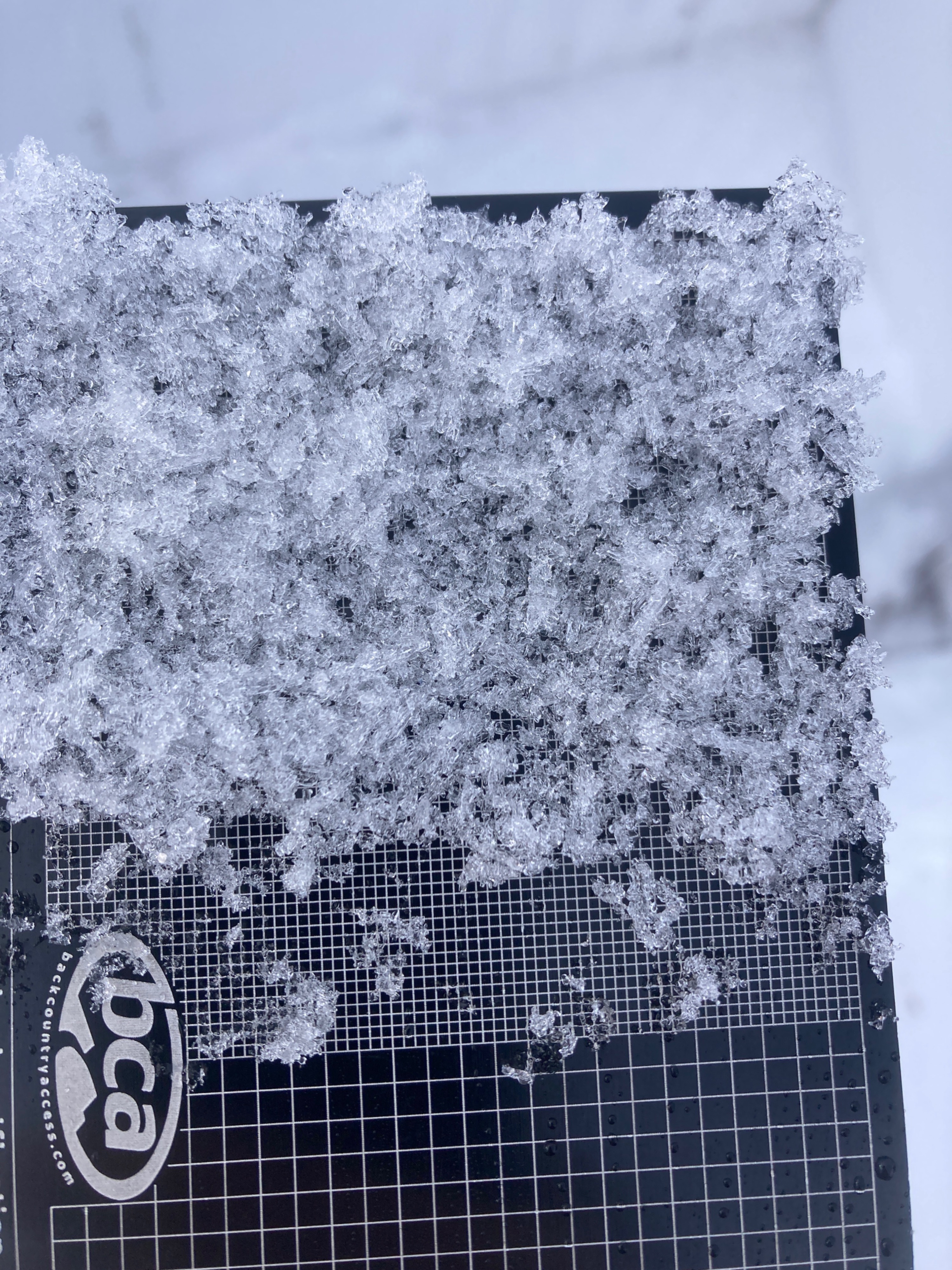
A shallow and moist to wet snowpack with the upper foot having been so saturated and now seeing cold temps is knife hard, the middle and lower portion of the snowpack has weak layers. The mid has some buried surface hoar fragments that are producing propagating failures at times, the lower foot near the ground has some weak facets that formed in November but are producing propagating results with a sudden collapse...ECTP13SC, ECTP21SC...Overall the poor structure is moist and over time should freeze and stabilize something hopefully like the upper foot of the snowpack that was knife hard...Uncertainty exists as upper elevations could hold weaker snow that has been a little colder.
Avalanche
One wet loose D 1.5-2 avalanche on the NW aspect of Slab Butte