
Quick report
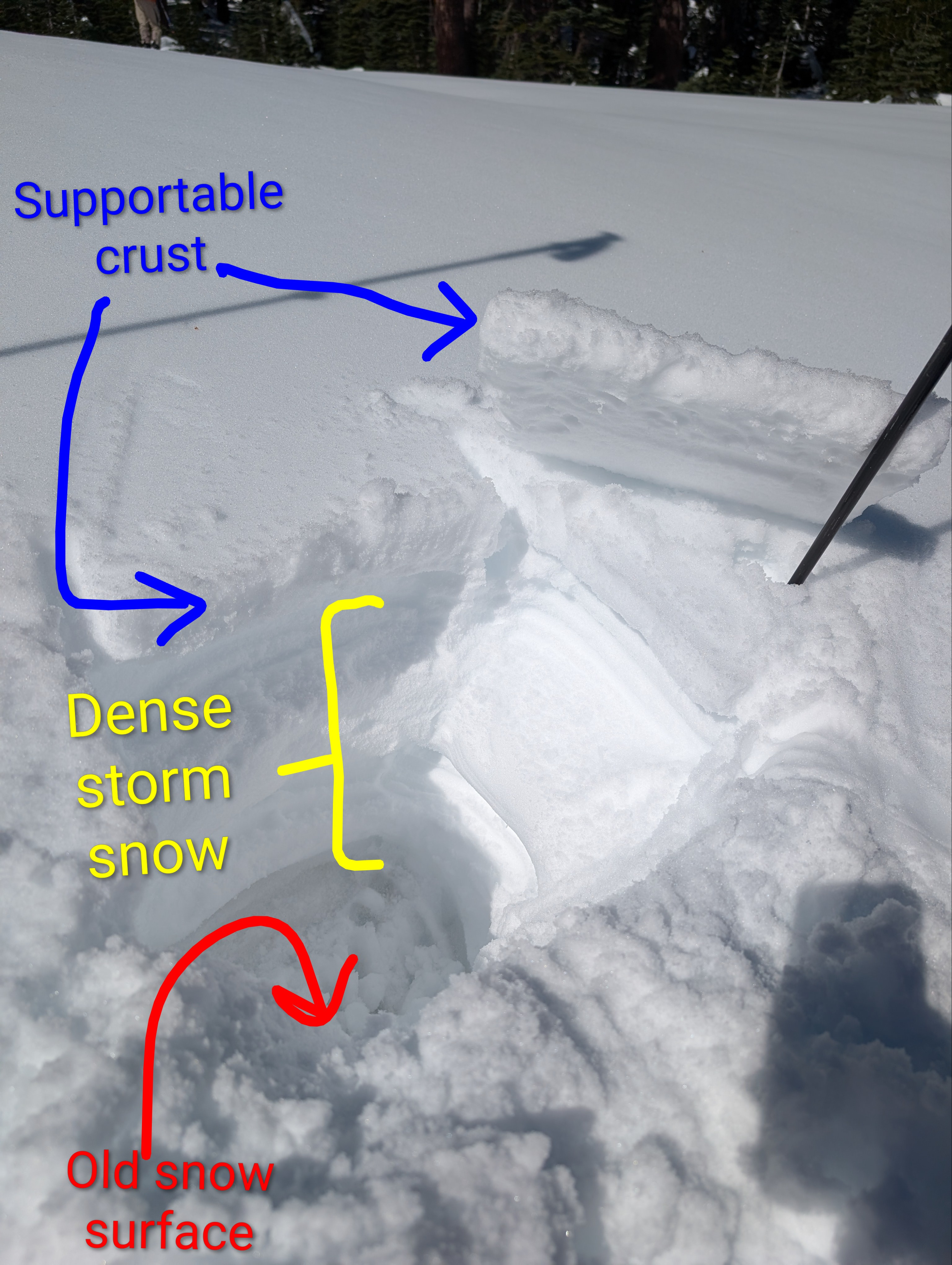
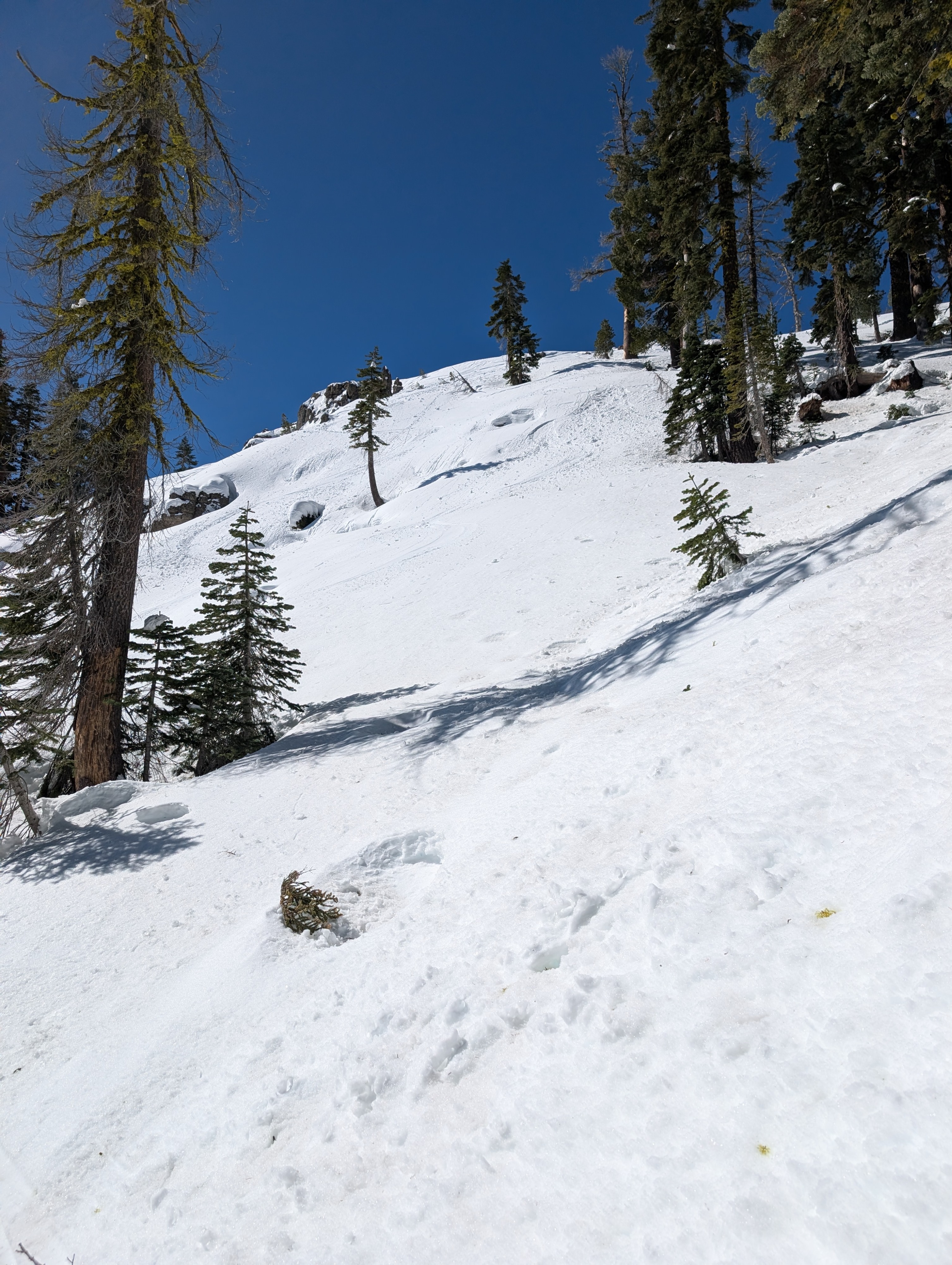
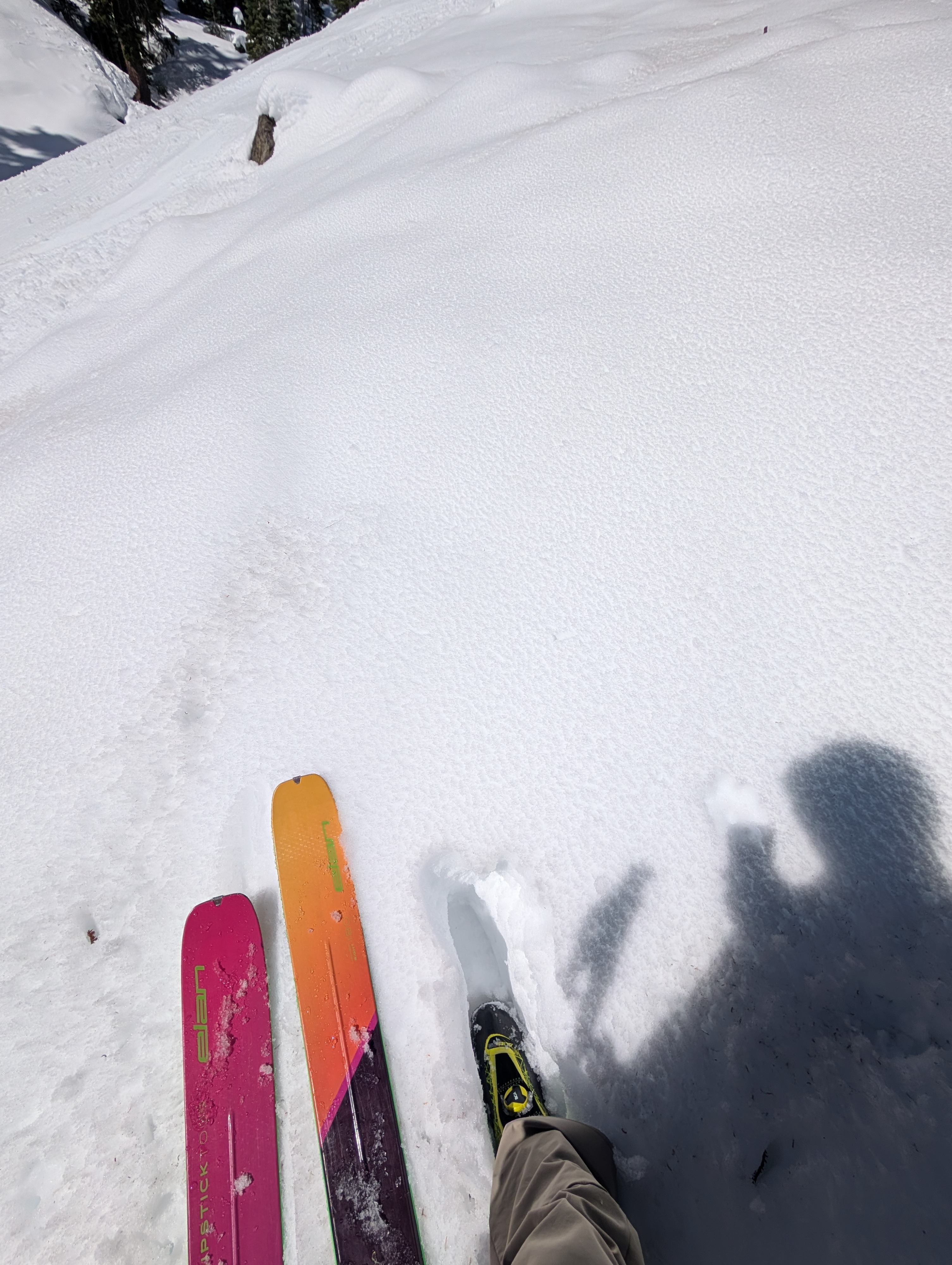
Sunny days and cold overnight temperatures have left a supportable crust on most of the slopes in the Andesite Peak area. 10 to 14 inches of dense storm snow exists below this crust. The storm snow has smoothed out the snow surface on most open slopes and improved both coverage and travel conditions greatly. Below about 8000 ft, sun and warmer temperatures today created a thin layer of wet surface snow on sunny E aspects that are sheltered from the wind by mid morning. Sunny SE and S facing aspects had almost become unsupportable by noon. Above 8000 ft, in areas exposed to the NE-E winds, the snow surface stayed firmer. Once we got away from the open slopes the snow became more variable with some soft snow in shady spots, some uneven frozen snow in tree covered areas, and some breakable crusts in a few spots. April sun and warm temperatures continue to melt the storm snow and many more rocks have reappeared in the last few days, especially in areas where bare ground existed before the storm.
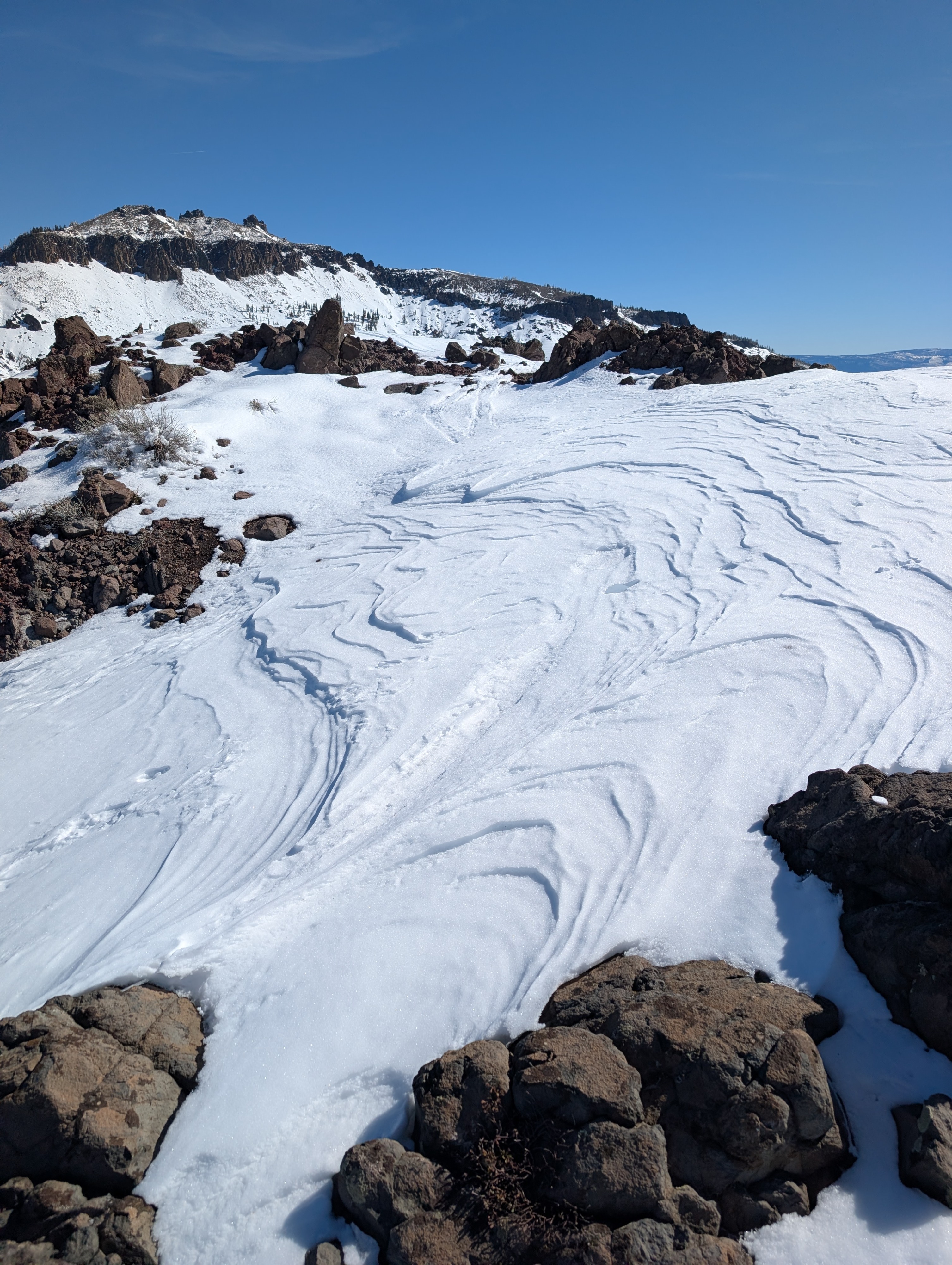
The ridgetops felt cold due to the NE-E winds. Even though these winds were strong enough to move snow, we did not see any blowing snow, since no more soft snow existed near the ridges on Andesite Peak. These winds also limited the amount of surface warming, and we did not see signs of unstable wet snow on sunny slopes before noon.
Weather
- Air Temp
- 41 F
- Cloud Cover
- clear
- Snow Avail For Transport
- none
Temperatures were warming quickly. It felt warm in sheltered sunny spots, but moderate NE-E winds kept the ridges and exposed areas feeling cool.