
Quick report
- Cracking
- isolated
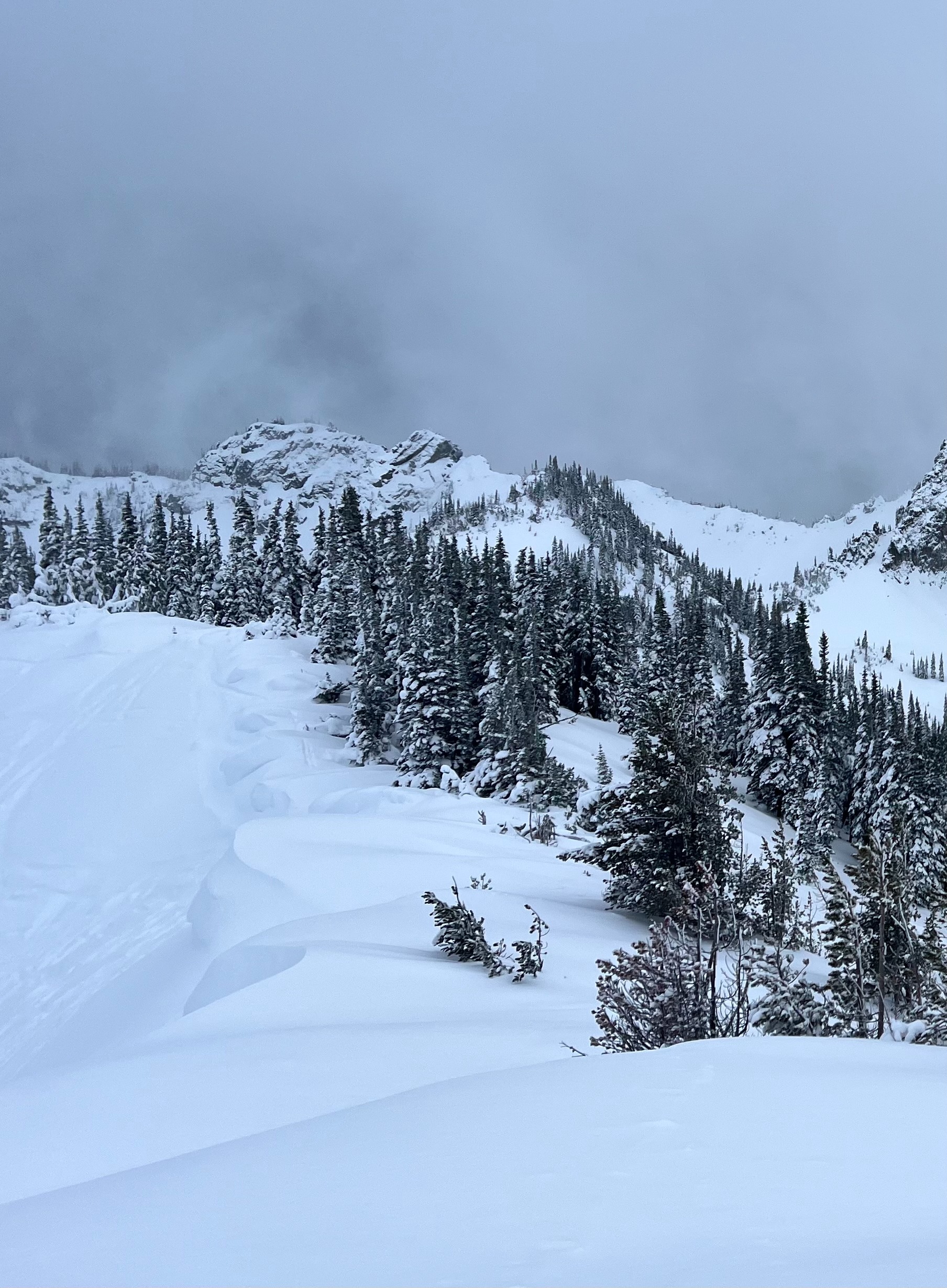
As promised, high freezing levels last night (night of 11/16) led to rain, leaving a breakable crust of varying strength up to ~6200'. Above this elevation, there was no crust, just soft, dry snow. The avalanche hazard was low except directly below exposed and wind-loaded ridgelines on the north half of the compass. We did not observe any avalanches although one party we talked to mentioned they cut a sensitive wind slab on the E aspect of Silver King Peak around 6600' right at the ridgeline (not entirely sure of size, likely in the D1.5 range based on their description of the terrain). No one was caught in this avalanche. As the day progressed, winds were strong and precipitation intensity increased as temperatures dropped. The avalanche hazard was rising through the afternoon as new snow and wind loaded upper elevation terrain. Cracking observed within decomposing new snow below last night's melt-freeze crust from the rain (this layer was 4F- compared to 4f+ MF crust above). Cracking not that widespread with largest crack ~2ft from skis
Weather
- Air Temp
- 30
- Cloud Cover
- overcast
- Wind Loading
- moderate
- Rain Elevation
- 3000
- Recent Snowfall
- 10
- Snow Avail For Transport
- moderate amounts
The day started out mild with warm temperatures and brief sunshine. Light snow fell off and on through the morning (including at the base at 4400' at 10am) and then the snow and wind really ramped up around 1pm. Roughly 8cm of new snow fell between 1pm and 4pm at 6000'. Winds were sustained 10 knots gusting to ~25 knots from the South on the ridgeline
Snowpack
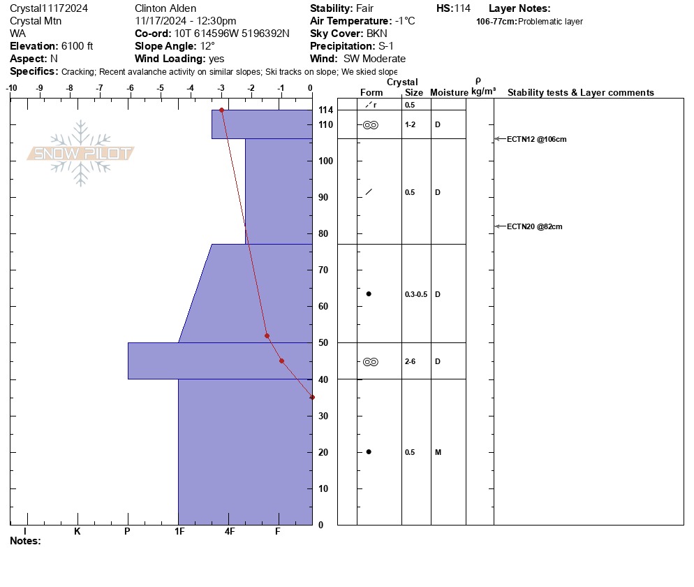
No propagation in ECT on North aspect at 6100'. ECTN12 within recent snow below last night's crust. Right side up snowpack other than MF crust from last night near surface and very stout MF crust from 11/6-11/8 warm spell. Overall good stability, no significant concerns. See attached snow pit image for more details.