

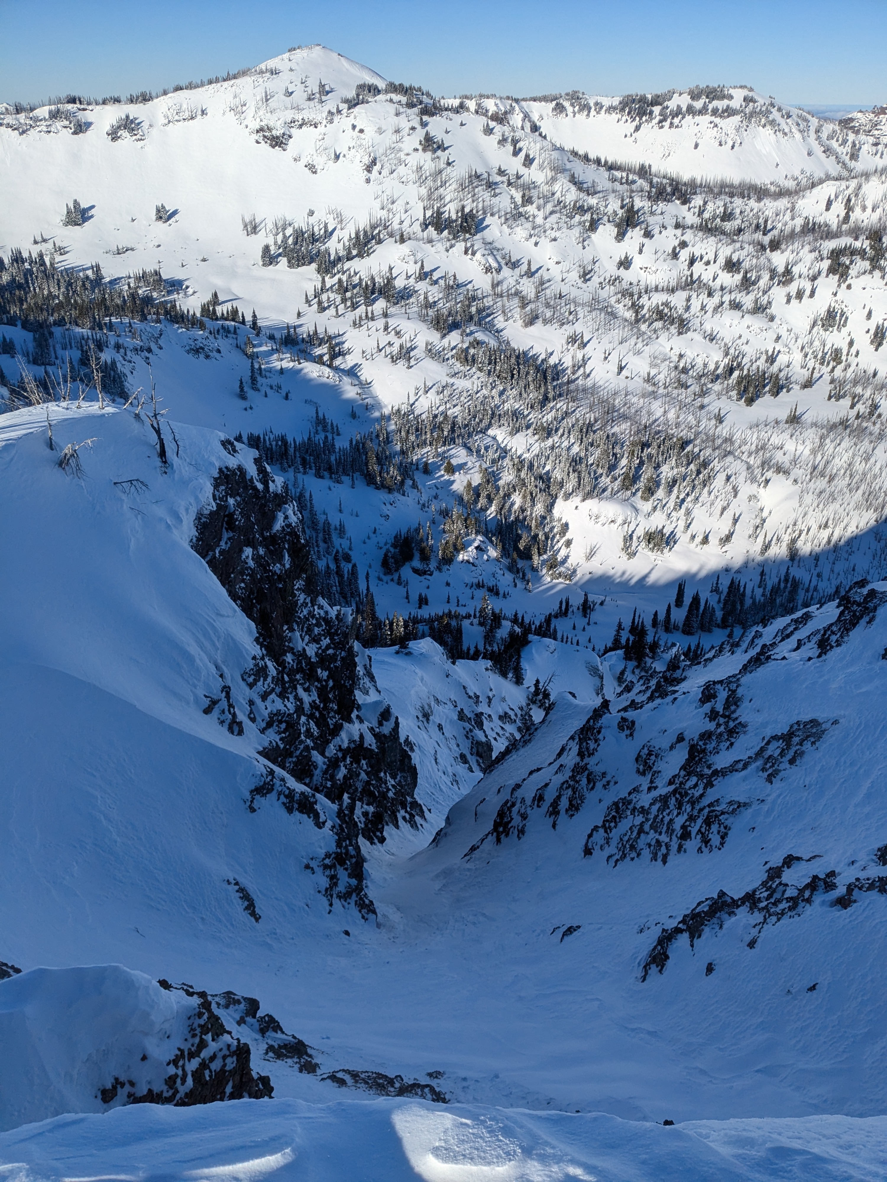
Quick report
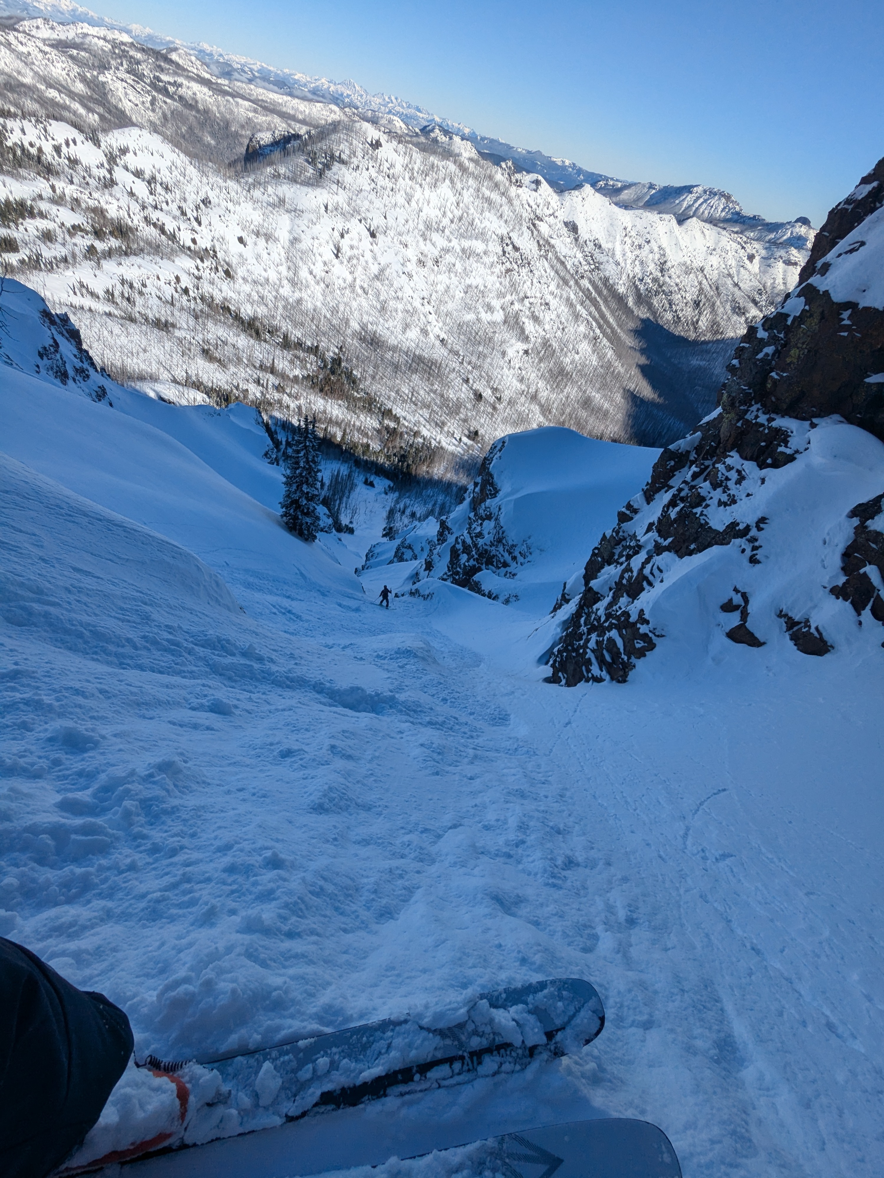
Lots and lots of tracks all around. The biggest observation was how many people have been out skiing the last two days since the storm. East/Platinum Peak was hammered, Cement Basin pretty hammered, and by the end of day nearly all faces north facing around Norse/East Peak had tracks on them. Basin Lake Chutes are quite thin. They all 'go' but the first one going straight down to the lake didn't look very good. Overall impression was a right-side up snowpack on top of the rain/snow interface. Once the wind has a chance to move snow around wind slabs may develop but today very little action was seen in the snowpack. Generally non-reactive upper snowpack. Did not experience avalanche activity. General impression was a right-side up snowpack with little cohesiveness. Not much loose wet activity by end of day. A few roller balls below rocky cliffs but not much.
Weather
- Cloud Cover
- clear
- Wind Loading
- light
- Snow Avail For Transport
- large amounts
Bluebird day with light winds. Increasing temperatures throughout the day.
Snowpack
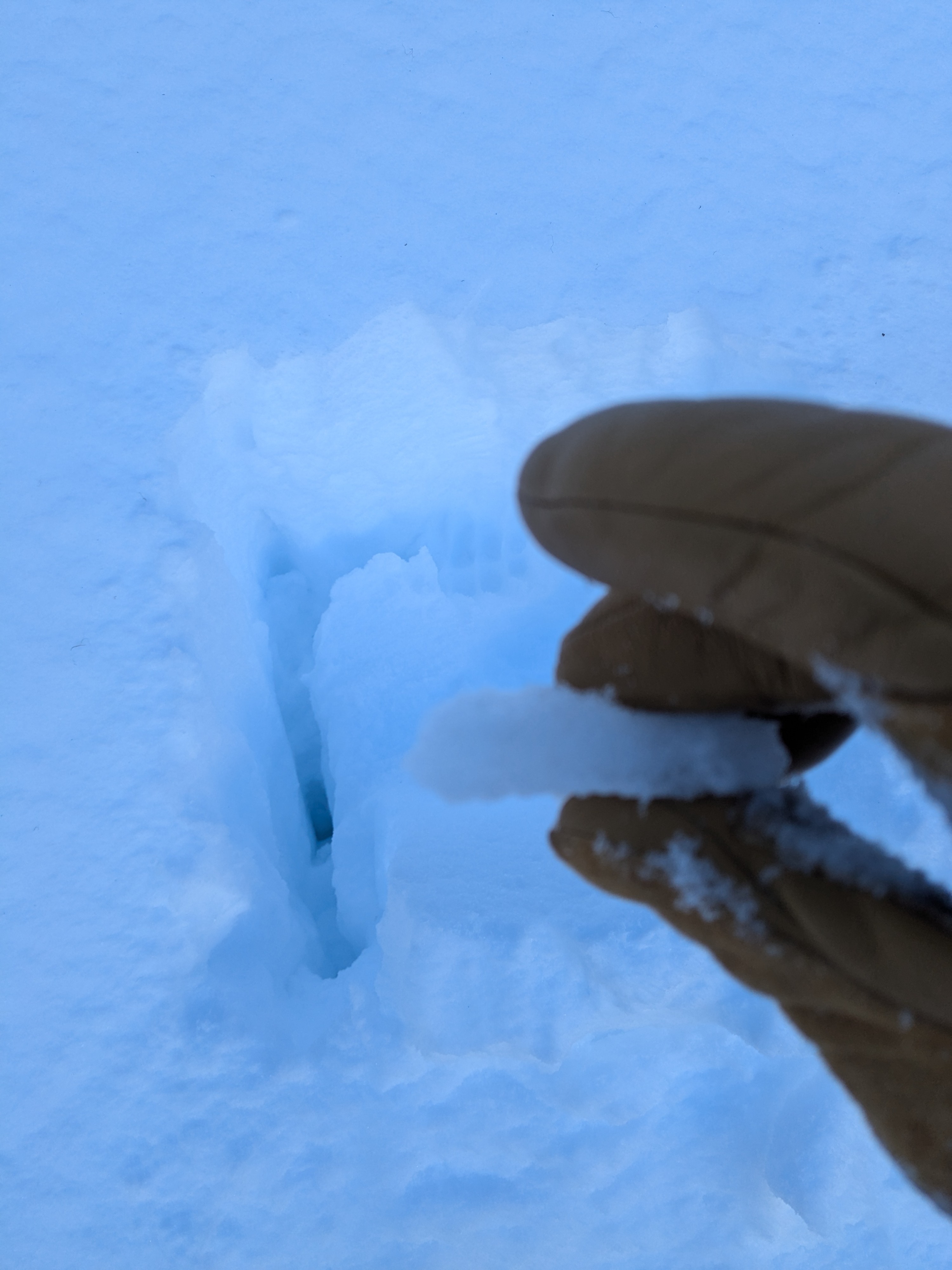
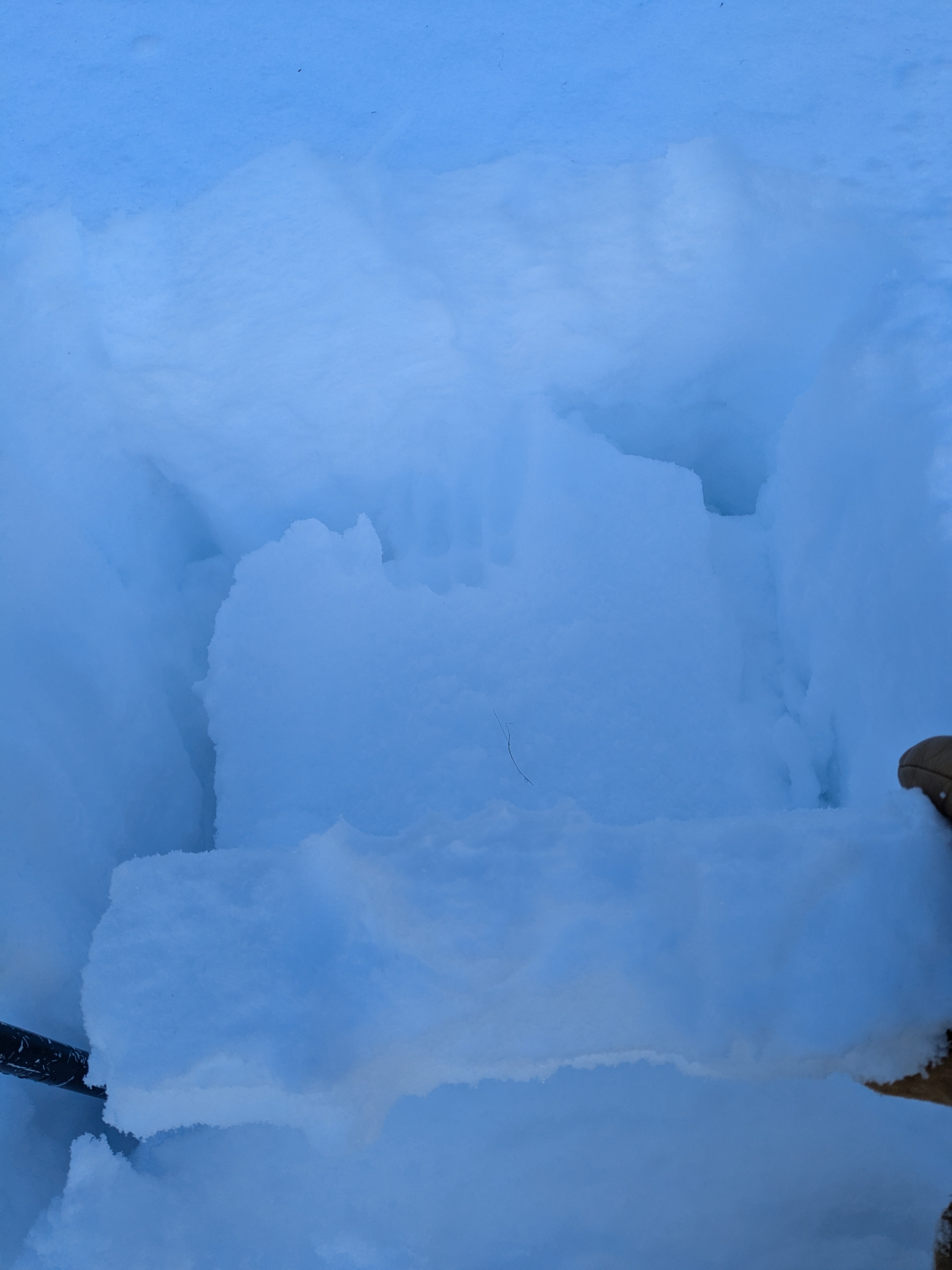
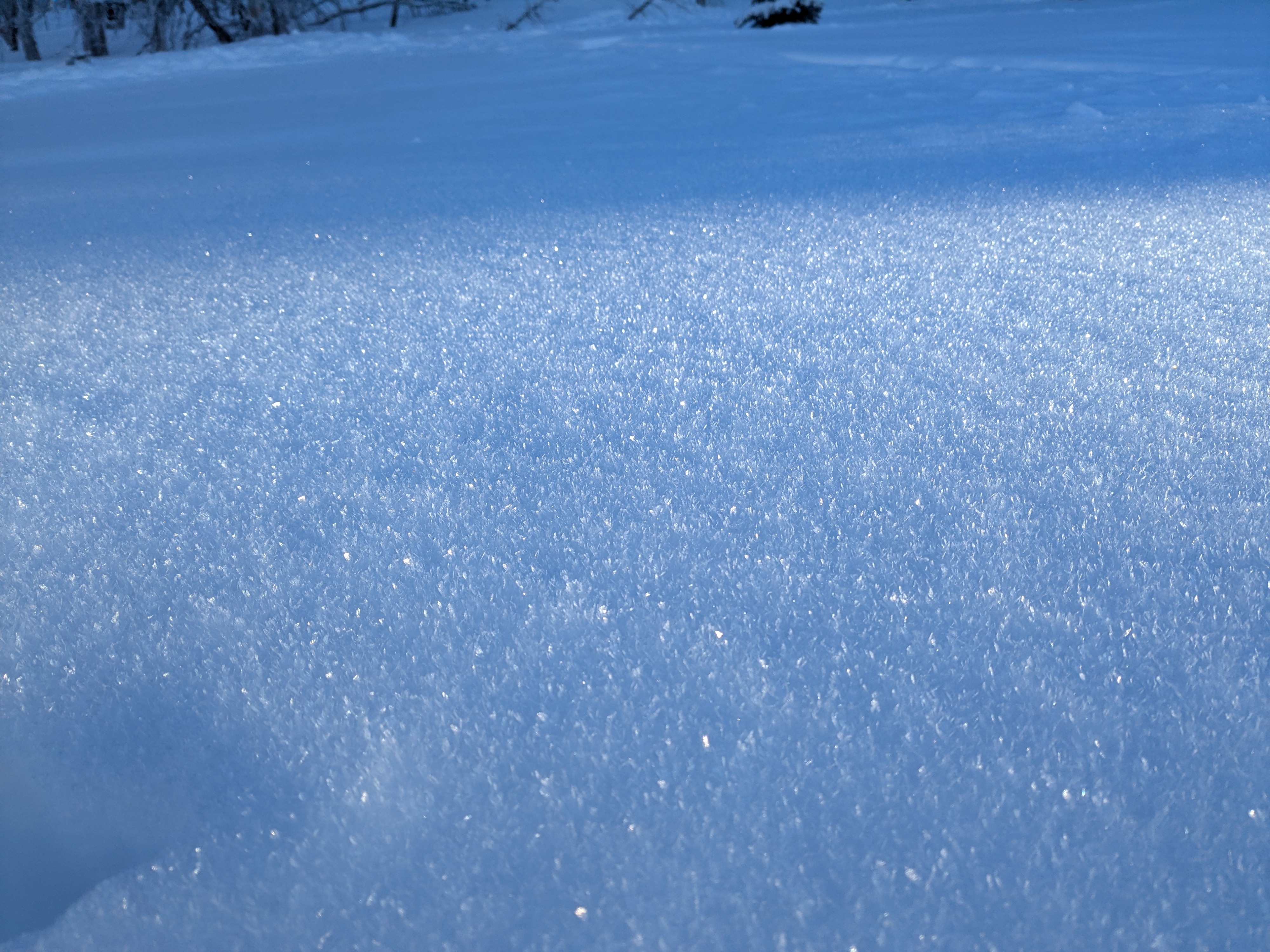
A tale of two aspects! Solar aspects are very thin, the recent high pressure wave didn't help. Below 6000' on solar aspects there was anywhere from 4-6 inches on a stout rain crust that seems to have hardened overnight. Polar aspects above 6000' had closer to 9-11 inches sitting on a softer interface. There was noticeable wind affect above treeline / near ridgelines for the first 300' or so. Was more of a punchy windboard than a wind slab. Below that, polar aspects were well preserved and skiing well. Widespread surface hoar on all aspects, even late into the day.