
Quick report
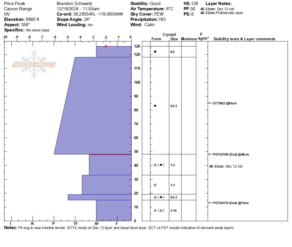
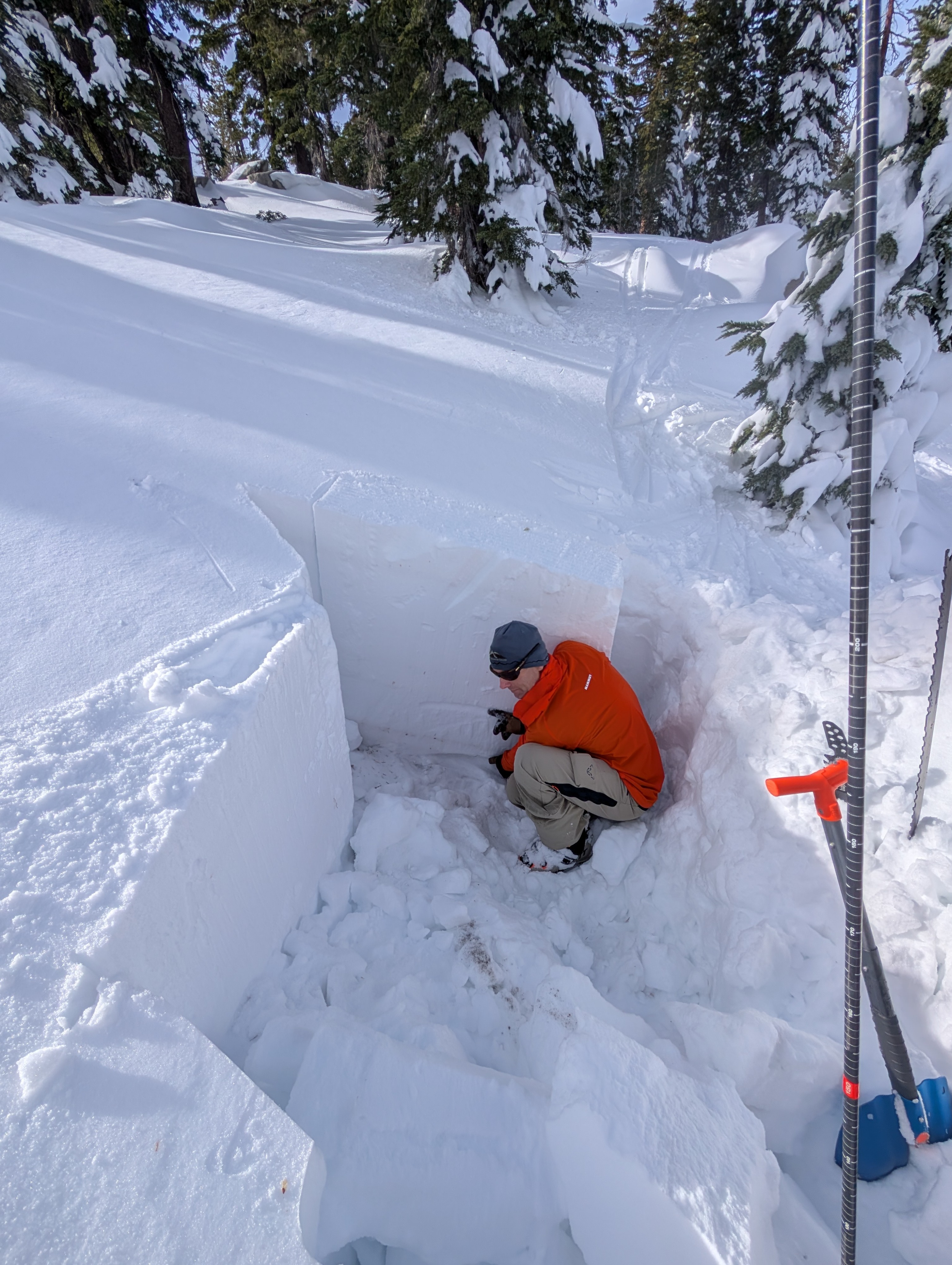
We headed out to the far eastern side of the forecast area today looking for weak snowpack layers on N aspect terrain in an area we knew they existed prior to this past storm cycle. We found the Dec 12 near surface facet layer buried under 2+ feet of recent storm snow as well as slightly rounded, but still intact depth hoar at the bottom of the snowpack. Neither our informal observations nor our snowpit tests gave indication that these weak layers were reactive today. They presented as dormant, waiting for the possibility of a future large loading event to reactivate. Both layers showed easy potential to propagate once critical crack length was triggered.
We descended as low as 8,350' in this area without encountering any rain crust.
Weather
- Air Temp
- 43
- Cloud Cover
- few
- Wind Loading
- none
- Recent Snowfall
- 0
- Snow Avail For Transport
- small smounts
Sunny skies with above freezing air temperatures.
Snowpack
Our snowpit tests indicated the presence of dormant PWLs in this area. Both the Dec 12 nsf layer and the basal facet/dh layers could still fail and propagate under a large load.