
Quick report
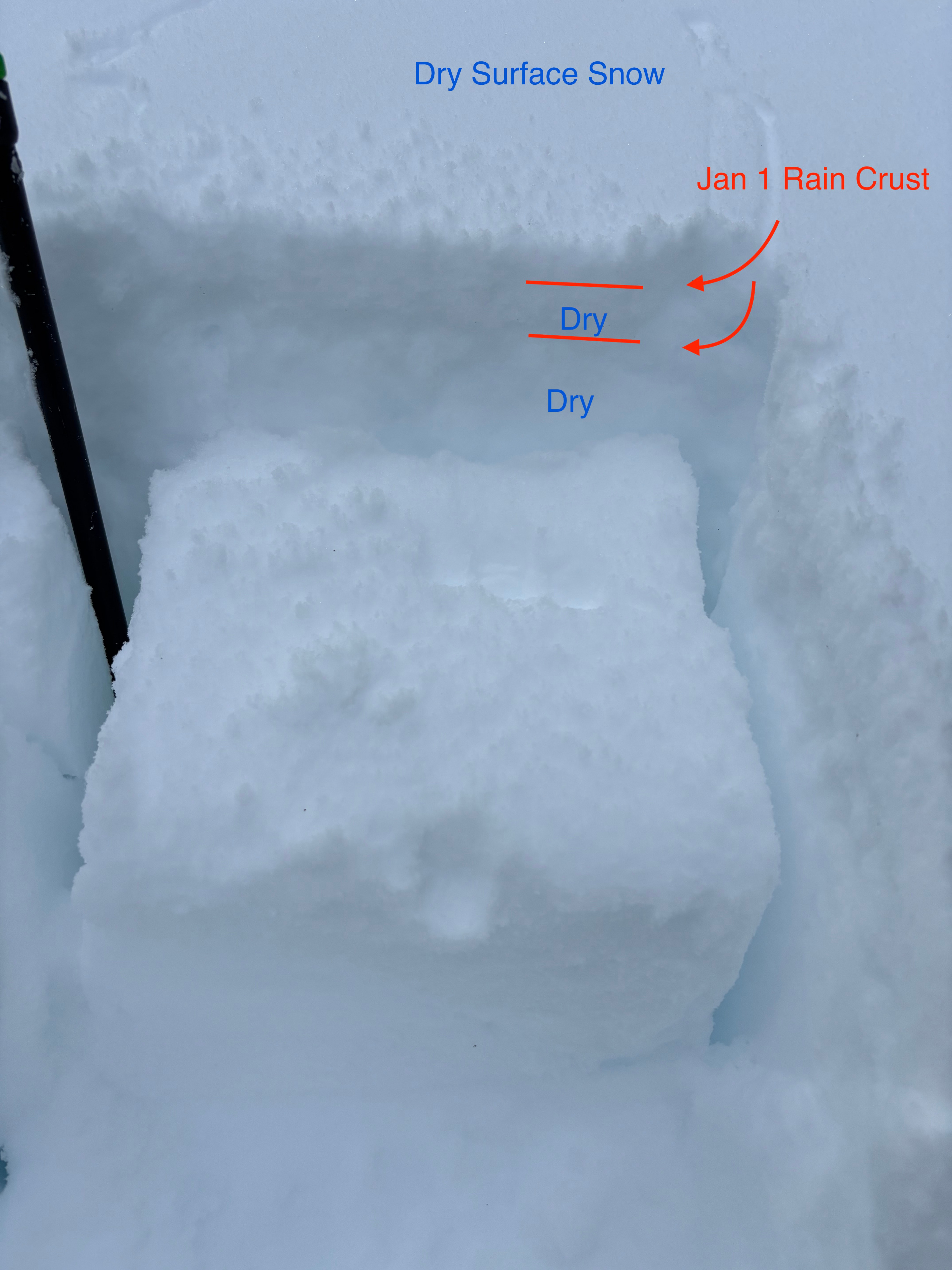
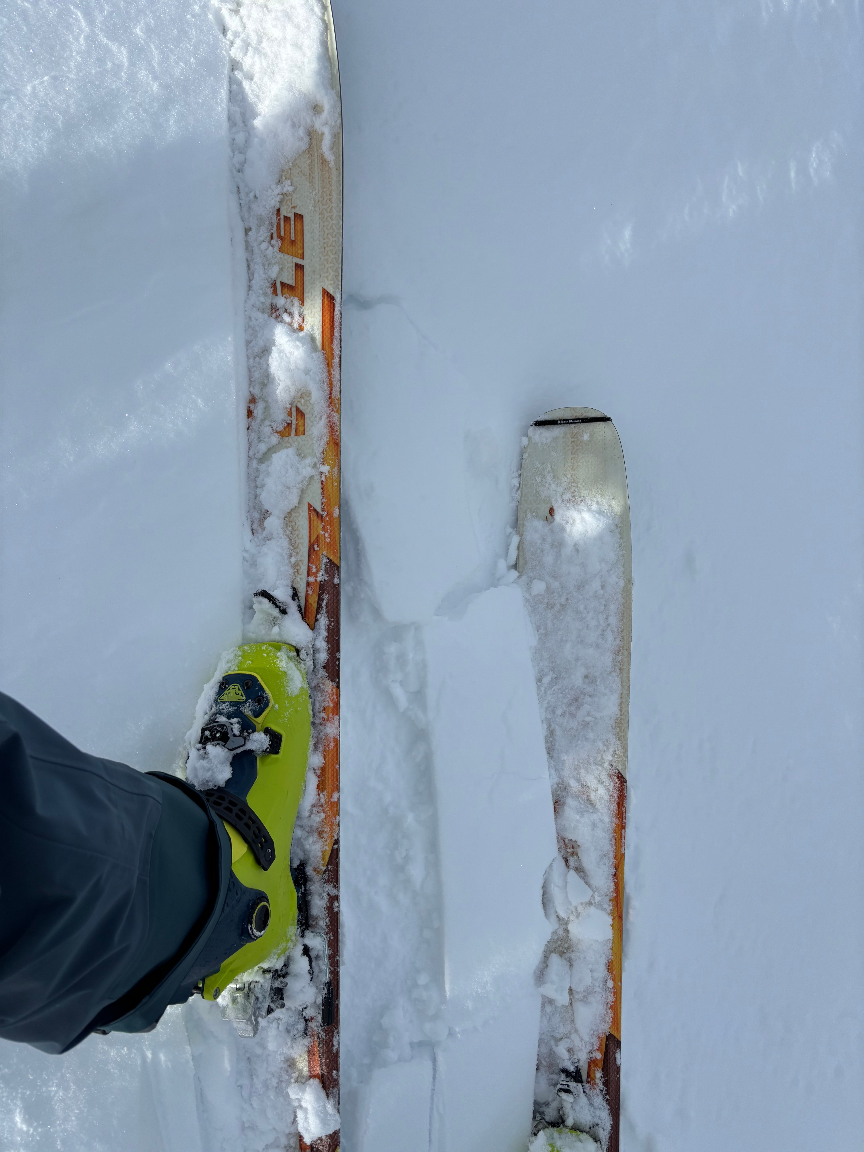
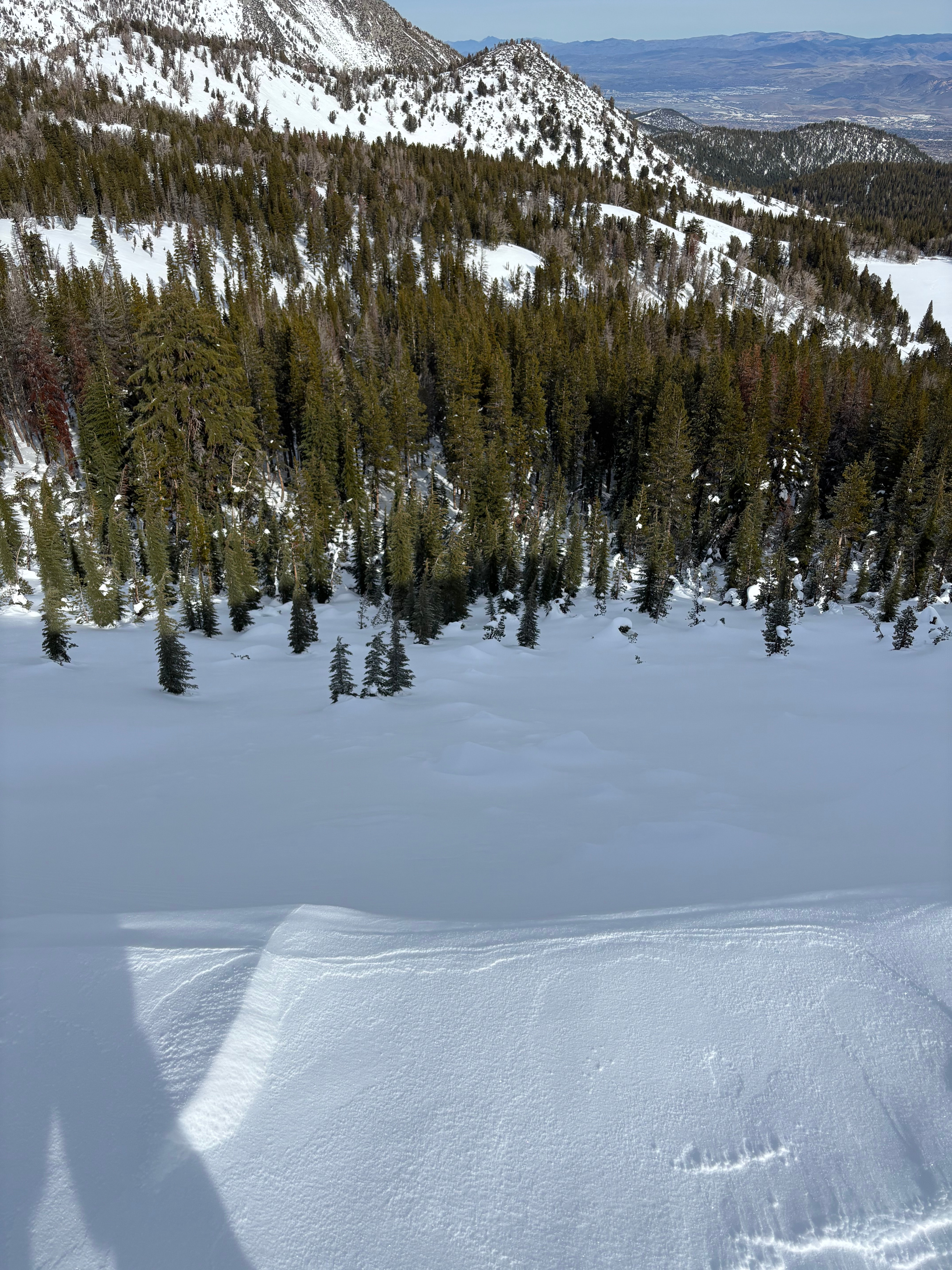
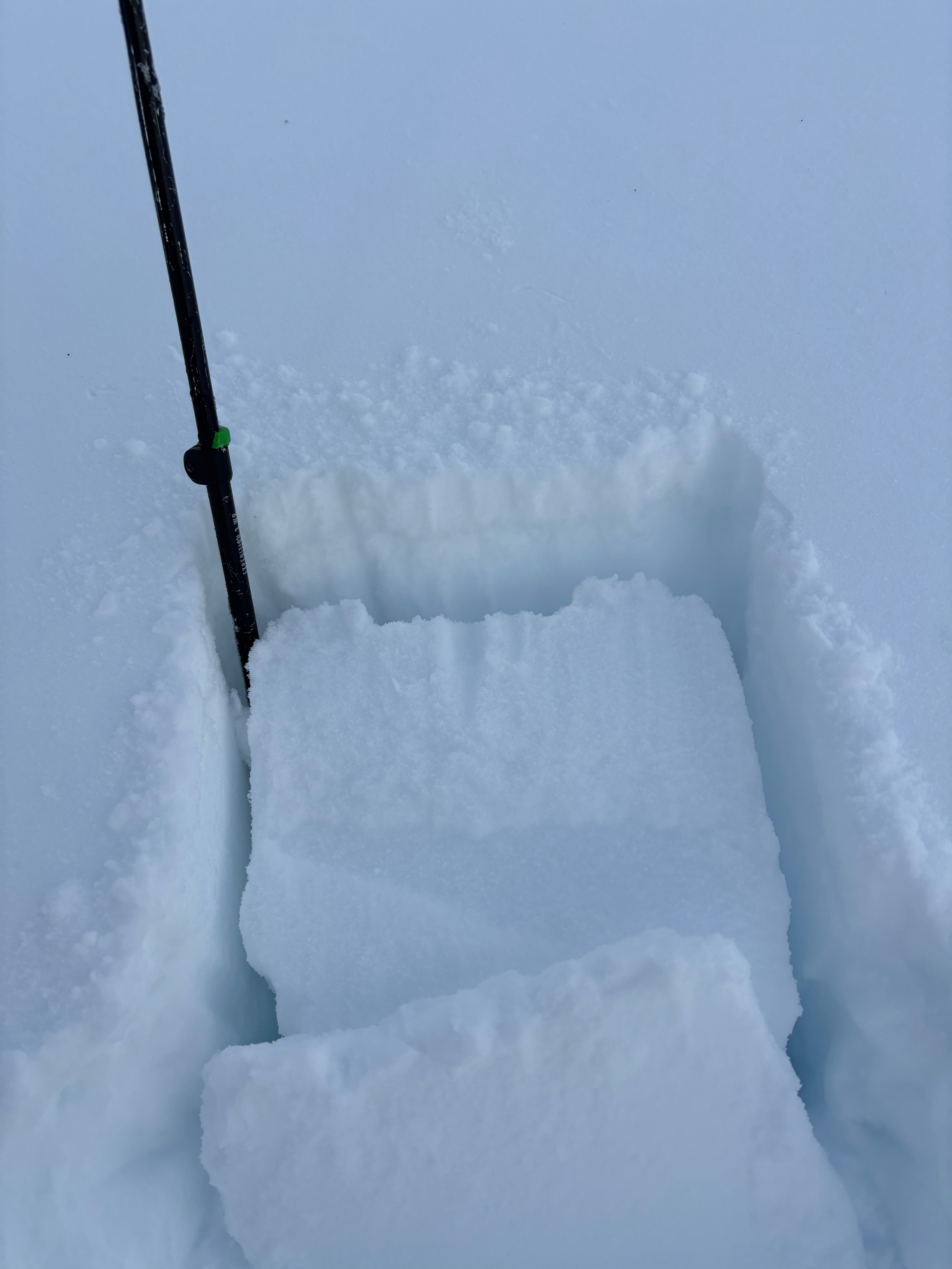
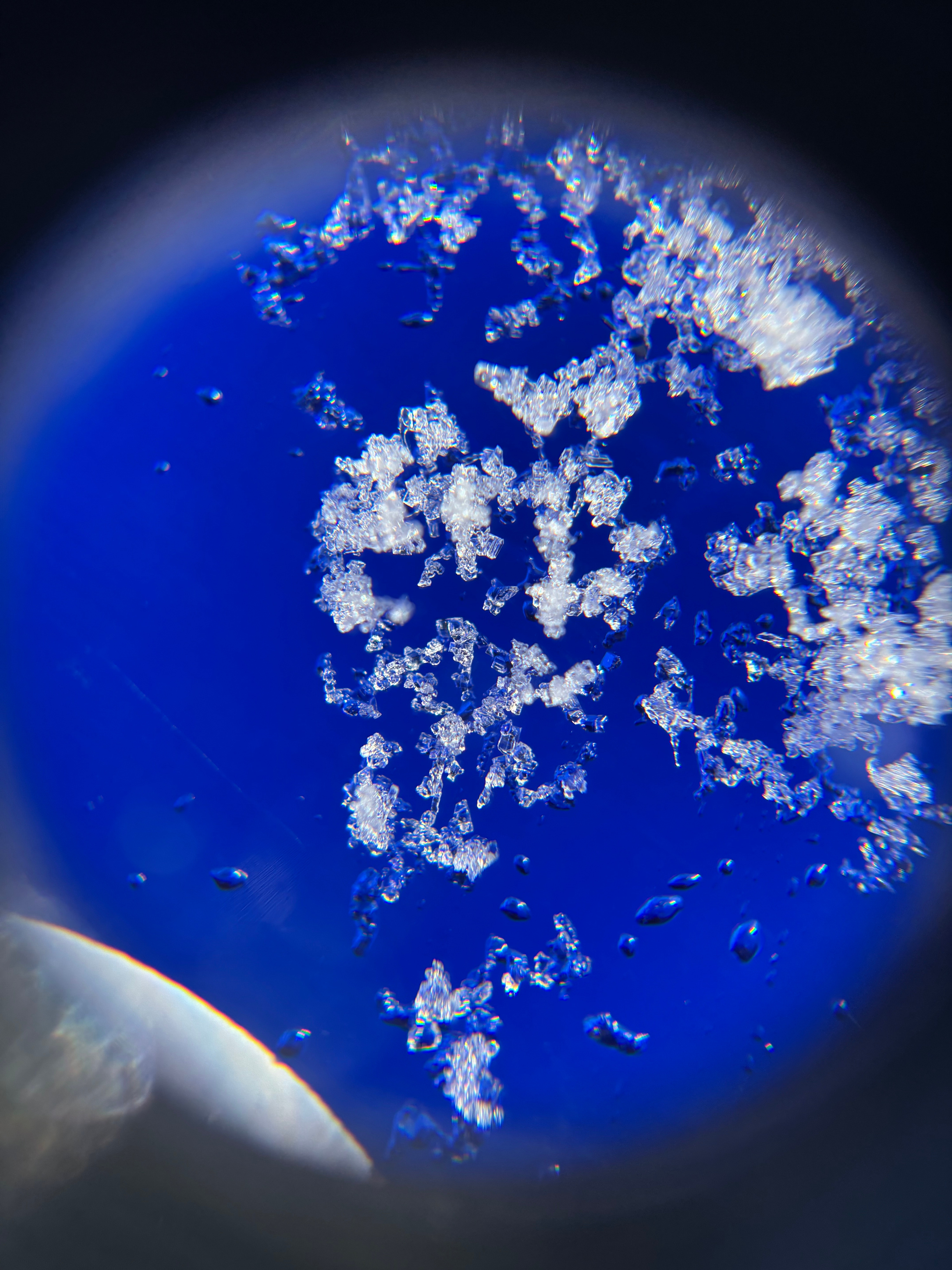
Our group used today’s marginal ski quality to conduct rescue drills as well as weather and upper snowpack observations ahead of the incoming low-pressure system. The rain saturated snow from 12/31 had frozen into a pleasantly supportive crust (Jan 1) everywhere we traveled today, up to 9800 feet. “Wind buffed” surface snow provided softer turns for descending in drifted locations. Hasty observations are described below: Tamarack TH air temperature 39F @ 10:45 PST BTL NE facing slope @ 9000 feet: Trace – 1” of dry snow on the surface Approx. P hard rain crust just below surface This crust had two layers with dry snow in between Dry snow beneath crust – RP to Q3 hand shears at this interface Refrozen tree bombs from 12/31 rain event interspersed through terrain Tree drippings from today’s above freezing temps interspersed through terrain NTL NE facing slope @ 9250 feet: 1” – 2” dry wind deposited snow below very small grain SH on the surface SH seemed to be laid down and/or decomposing – difficult to identify Approx. P hard rain crust below surface This crust had two layers with dry snow in between Dry snow beneath crust Wind deposits cracked under skis on rain crust – cracks did not extend past skis NTL NE facing slope @ 9500 feet: 1” – 3” dry wind deposited snow below very small grain SH on the surface SH seemed to be laid down and/or decomposing – difficult to identify Approx. 1F hard rain crust below the surface This crust was thinner than lower elevations and consisted of only 1 layer Dry snow beneath crust – RP to Q3 hand shears at this interface Tamarack summit air temperature approx. 30F @ 12:30 PST Tamarack TH air temperature 41F @ 14:15 PST Very minor cracking of the shallow, new wind drifted snow on the Jan 1 rain crust. Cracking did not extend past skis and was very isolated. Debris from cornice failure, likely during 12/31 rain event, was observed with new snow on top.
Weather
- Air Temp
- 30F - 41F depending on elevation and time
- Cloud Cover
- few
- Wind Loading
- light
- Rain Elevation
- 10,000 before switching to snow
- Recent Snowfall
- 2.5
- Snow Avail For Transport
- small smounts
Moderate SW winds observed along ridgelines - very limited wind transport of snow.