
Quick report
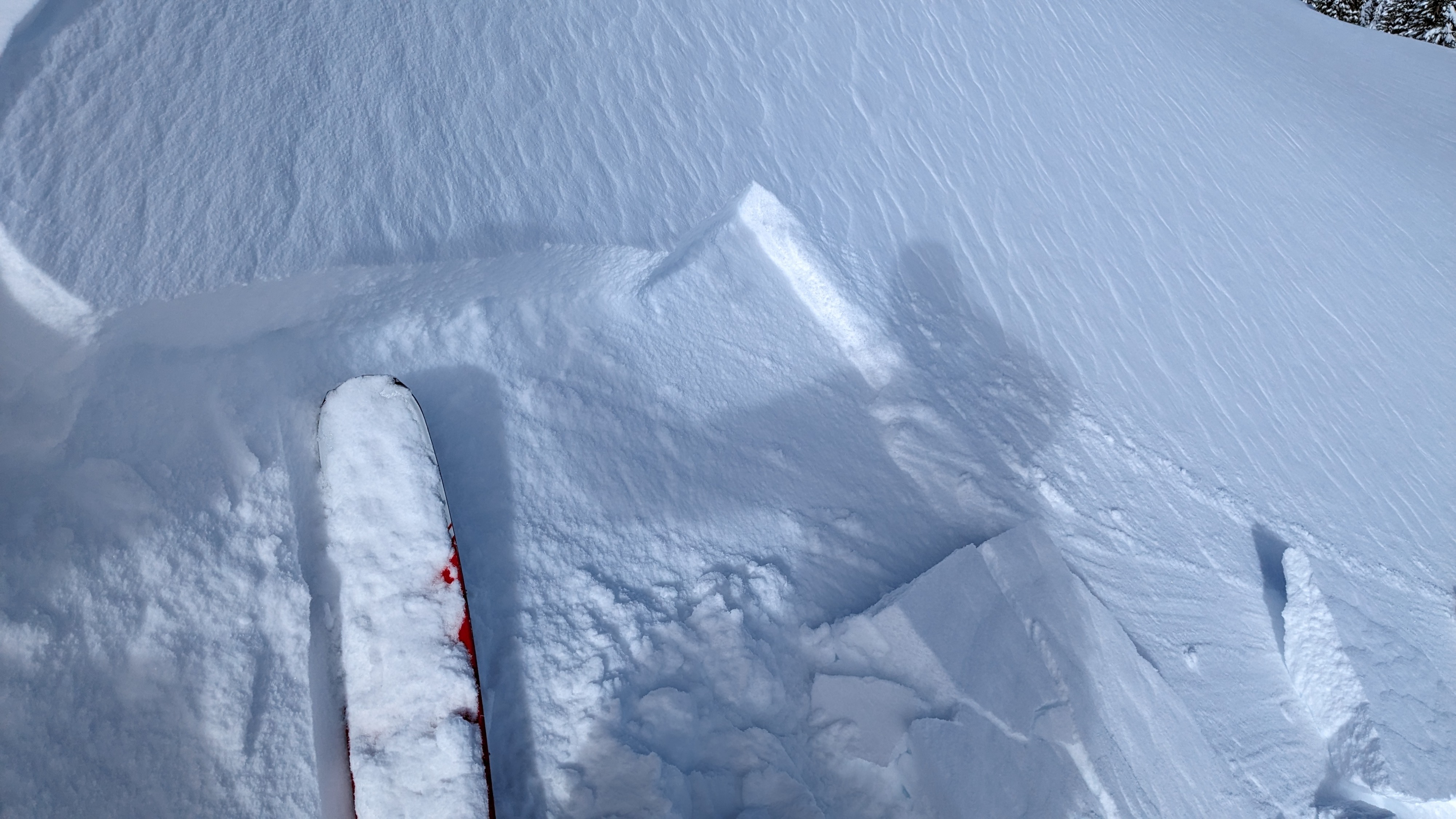
We toured on Hidden Peak this morning. New snow amounts from the last 24 hours were about 3 inches at the parking area on Hwy 89. New snow amounts quickly increased to 6 to 7 inches after we ascended the first 800 vertical feet or so. Total storm snow since Feb 17 was about 18 to 20 inches in this area with signs of 1 inch plus of storm snow settlement around trees. Gaining the summit ridge, cornices and wind textured snow surfaces were apparent. Shallow wind slabs up to 8-10 inches deep were present along the summit ridge, but in this specific location they did not extend more than about 10 feet down slope.
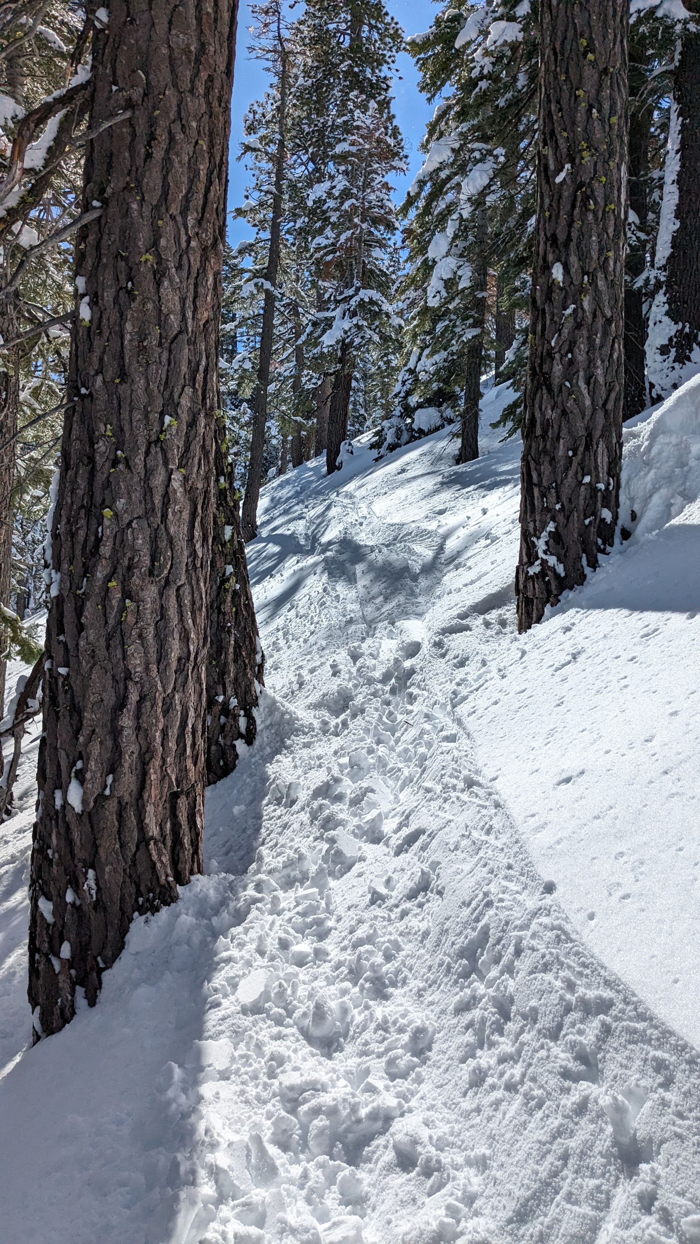
On our descent, we encountered surface wet snow on sun exposed E to SE aspects, mainly below about 7,200'. Ski turns triggered rollerballs and some pinwheels. At 1 pm, shaded, more NE aspect slopes at this same elevation held colder snow, unaffected by surface warming.
Minor amounts of surface wet snow developing in sun exposed areas below about 7,200'. Roller balls and pinwheels up to 12 to 14 inches in diameter were skier triggered.Weather
- Cloud Cover
- few
- Wind Loading
- none
- Recent Snowfall
- 15 cm in the last 24 hrs, HST 45 to 50 cm
- Snow Avail For Transport
- moderate amounts
Skies were mostly clear during the morning hours. Cloud cover was increasing rapidly over the Sierra Crest upon our departure at 1 pm.