
Quick report
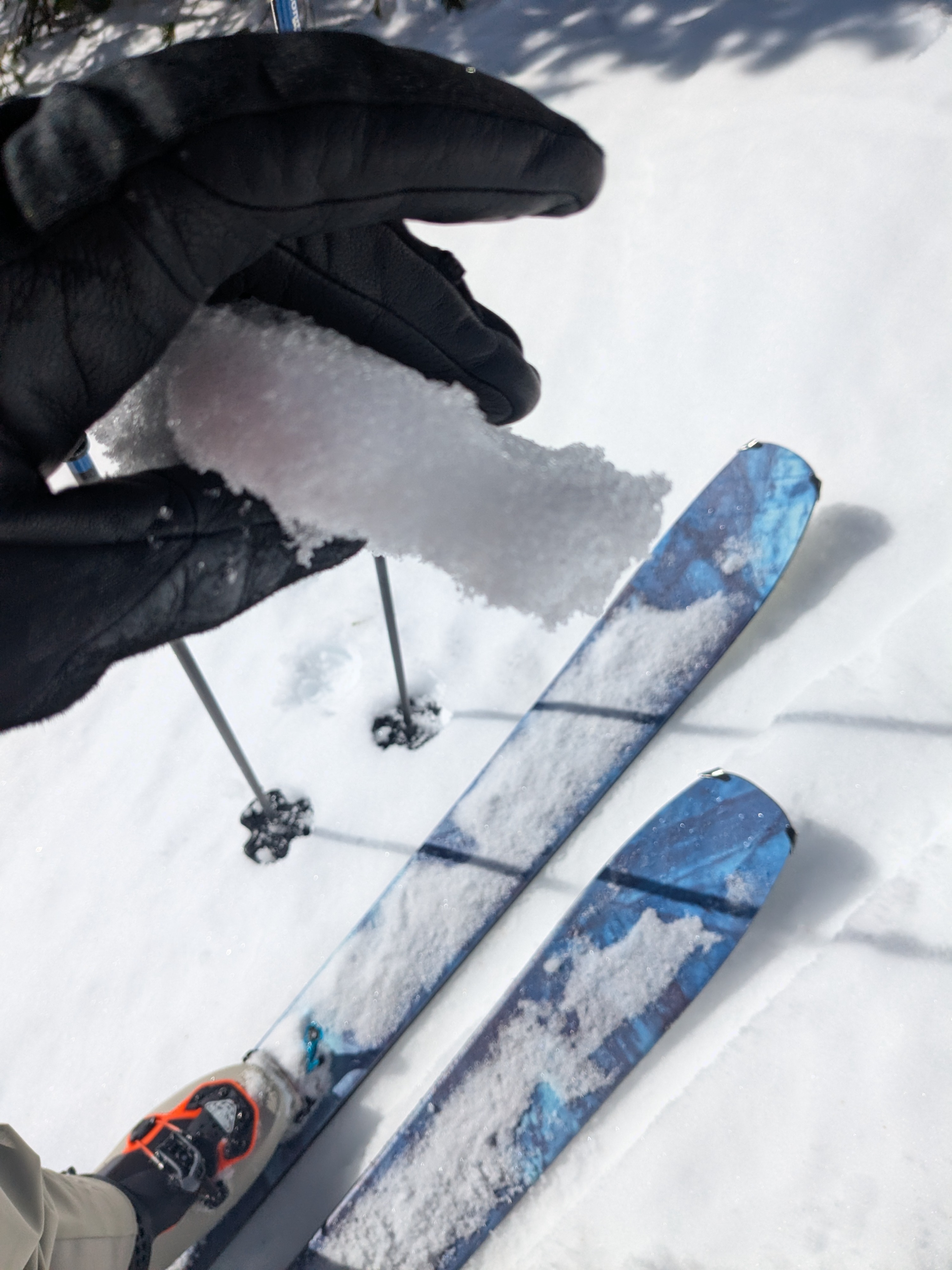
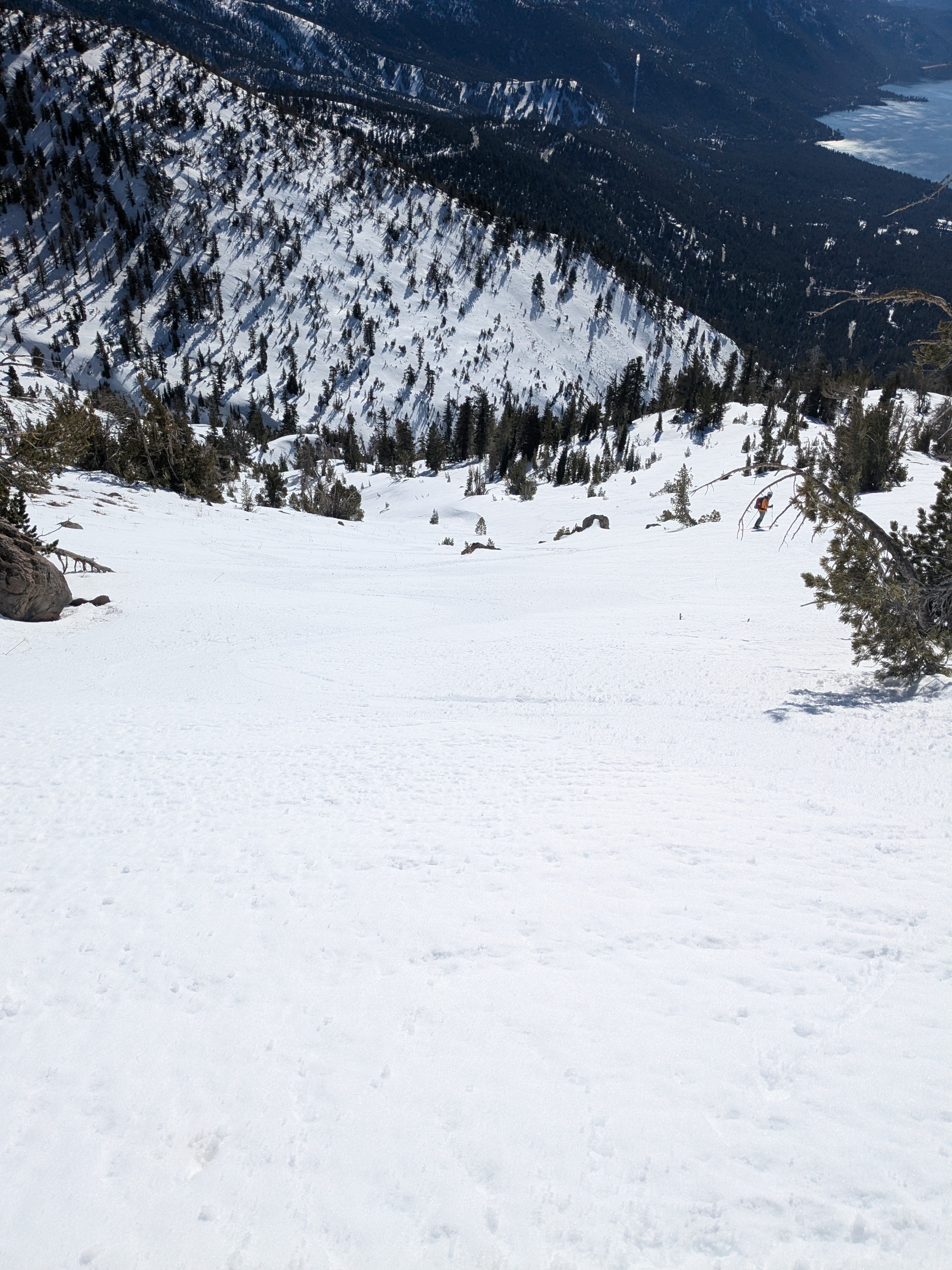
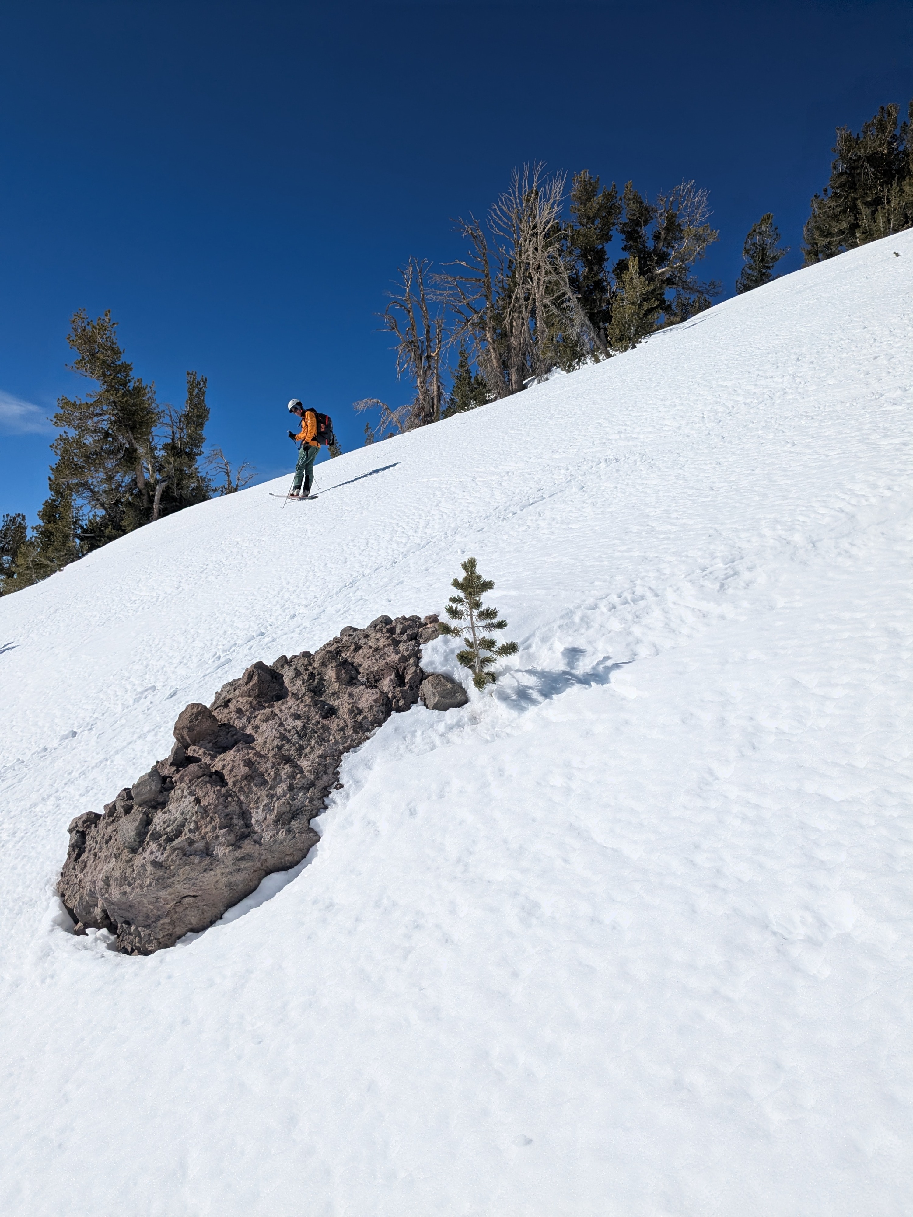
We toured S to SE aspect terrain this morning, first to the NW of Incline Peak and then on Incline Peak proper. We covered the 8,300' to 9,700' elevation range between 9:30 am and 12:30 pm. Snow surface melt on these aspects is very superficial, no more than the top 1 to 2 inches of the snowpack in most places. This makes for transitional wet snow travel rather than true corn when a thicker melt-freeze layer has established.
Descending SSE aspect terrain from 9,700' at 11 am, we started with 1/2 inch of surface wet snow that increased to 1 inch of surface wet snow at 9,000'. At noon we encountered up to 2 inches of surface wet snow top to bottom on the SE face of Incline Peak. We were able to stay on continuous snow cover through here, but it took some earlier route planning/scouting from the parking lot not end up on dirt. At noon in the 2 inches of surface wet snow between 9,500' and 8,300' on Incline Peak, conditions had become borderline for the potential to skier trigger some very small and shallow wet loose sluffs.
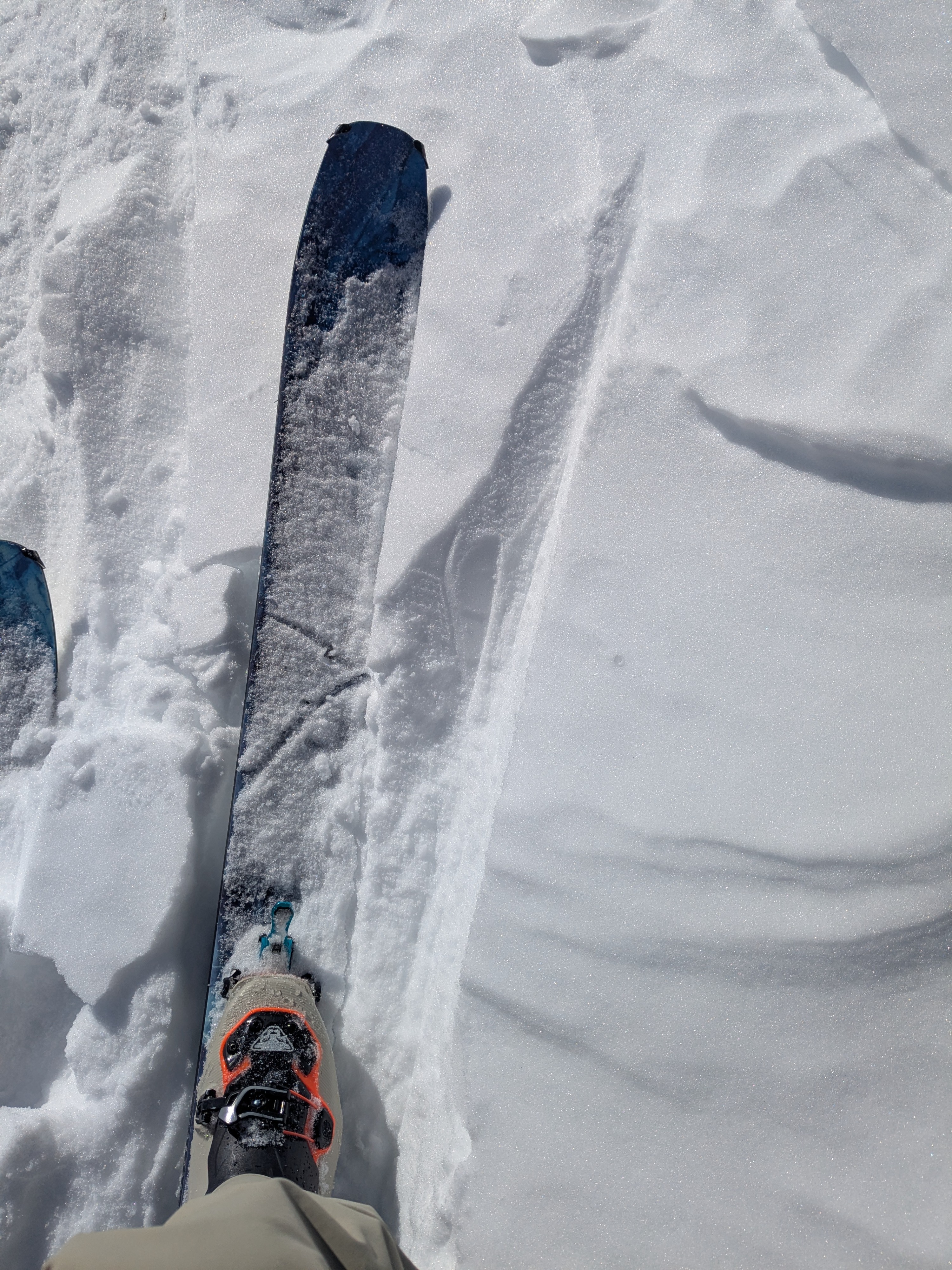
We observed that on NNE aspect, previously wind scoured terrain, surface faceting had softened some areas of previously firm sastrugi.
Weather
- Air Temp
- 39
- Cloud Cover
- clear
- Snow Avail For Transport
- none