
Quick report
¡¡Heads up, avalanche conditions are about to change significantly in the backcountry!! The snow surfaces that have been developing since 1/3 (27 days now) are weak, complex, and spatially continuous. These will make for "productive" weak layers once loaded and will be sticking around in the snowpack for a while. I'm expecting to see lots of avalanche activity involving this layer when precipitation returns. An intense storm with plenty of wind and high PI rates (like the one in the forecast for Friday and Saturday) will quickly increase the likelihood of human triggered and natural avalanches. Be prepared for a major shift in your mindset and travel style if you are going to be playing in the backcountry this weekend. Expect to see avalanches that involve only the new snow behaving more like persistent slabs - breaking widely and wrapping terrain features, triggerable from a distance, etc. I saw some D1 debris piles from small wet activity (presumably occurred 1/15), a D1 hard slab that occurred due to wind loading, and a number of chunks of large cornices that had calved off, presumably during warming and loading events.
Weather
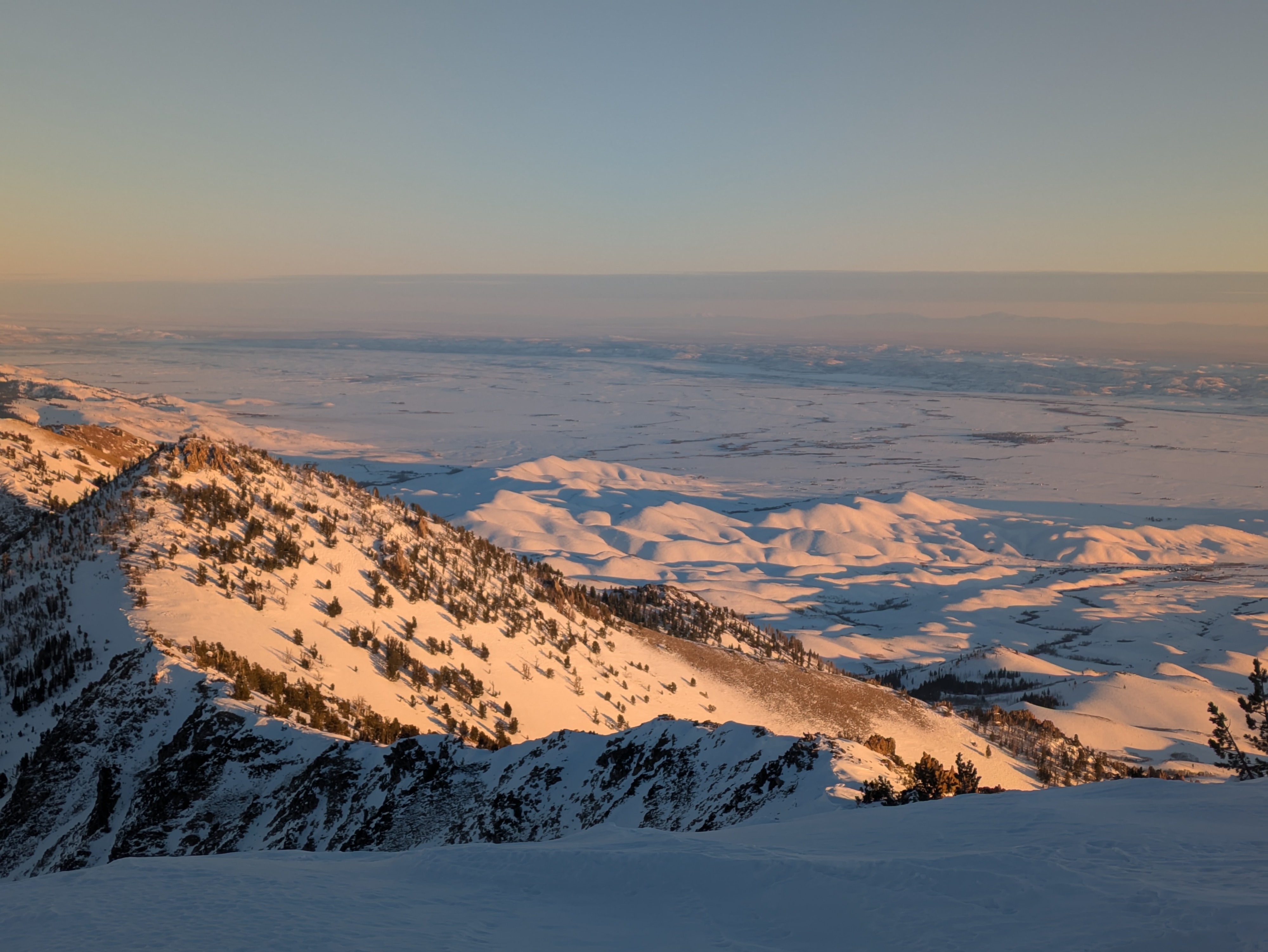
Lots of sunshine, calm to light winds all the way to the top. The temp inversion in shaded valley bottoms never mixed out today.
Snowpack
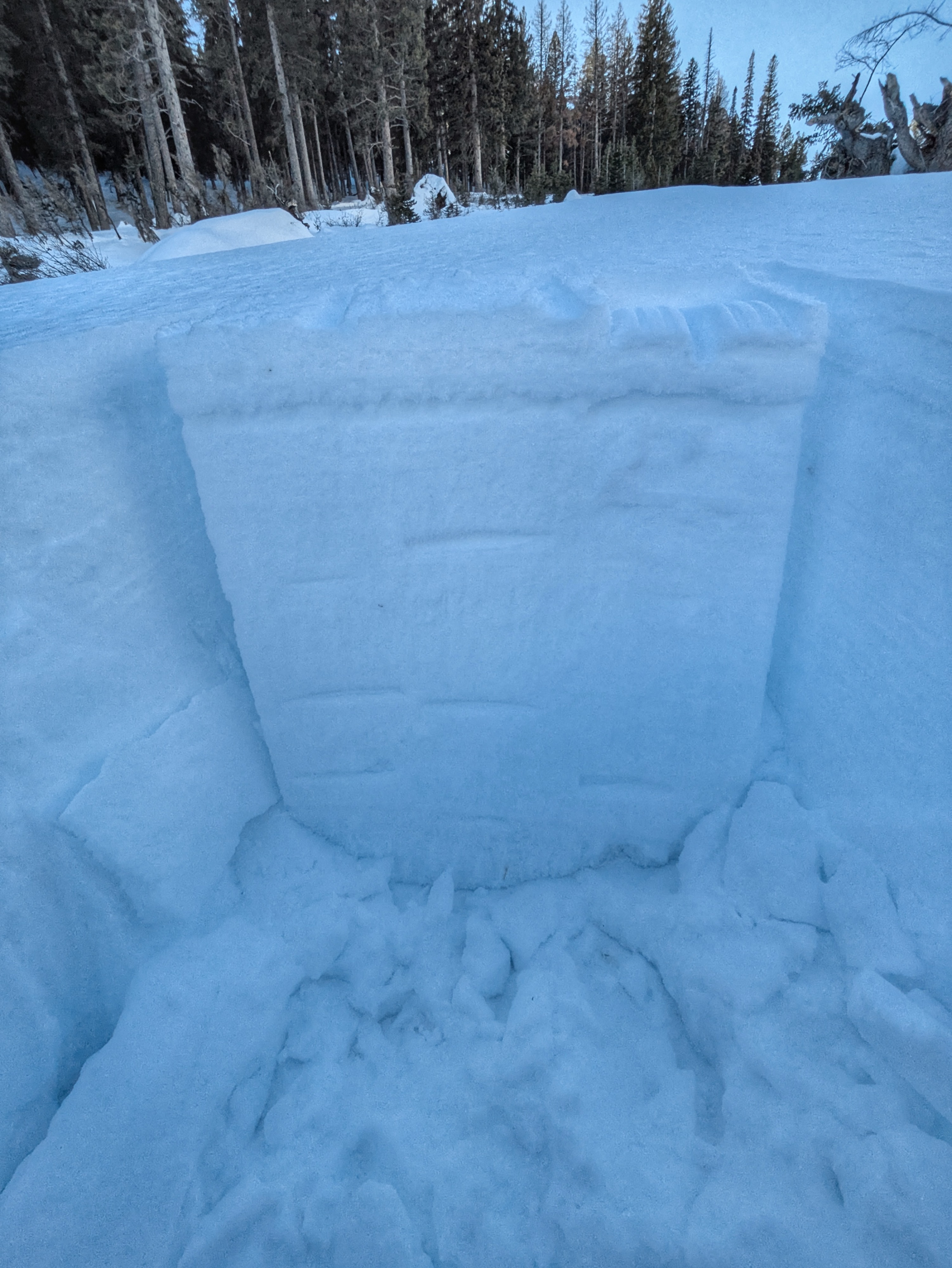
The snow surfaces that have been developing since 1/3 (27 days now) are weak, complex, and spatially continuous. These will make for "productive" weak layers once loaded and will be sticking around in the snowpack for awhile. This weak layer is more reminiscent of the type that we develop during the early season. Thick facet stacks on shaded slopes, very weak crusts with associated facets on solar margins, and stouter crusts with facets below (and sometimes above) on solar slopes. I'm expecting to see lots of avalanche activity involving this layer (I'm calling it the "1/31") when precipitation returns. This weak snow is particularly ugly where 1/3 precip fell as rain and the rain crust has been acting as a gradient concentrator over the intervening weeks (lower and middle elevations). There are several rounds of SH above this rain crust, some large, some small, some standing, some wilted. I did not thoroughly map the distribution of the surface hoar, but I'd expect to find it on most sheltered, shaded lower and middle elevation slopes. I'm not sure how far up in elevation it extends. In a snowpit on a NE aspect at 7,800' where HS was 130-140 cm I received repeated ECTPs underneath the rain crust from 1/3 (down 8-10 cm) with light force (4,6, and 7 wrist taps). The bulk of the "slab" that was failing was made up by the rain crust; this combo won't react well when a slab of new snow builds on top starting Friday.