
Quick report
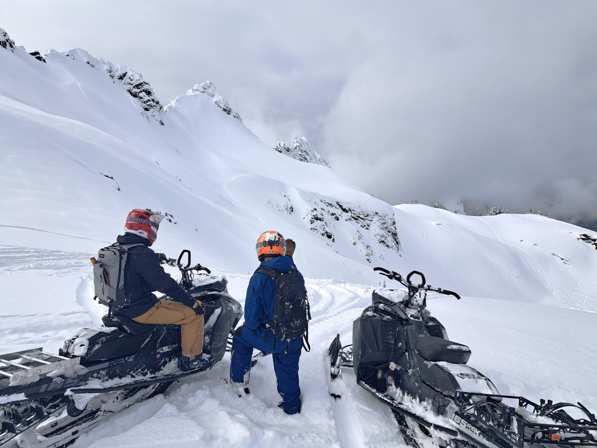
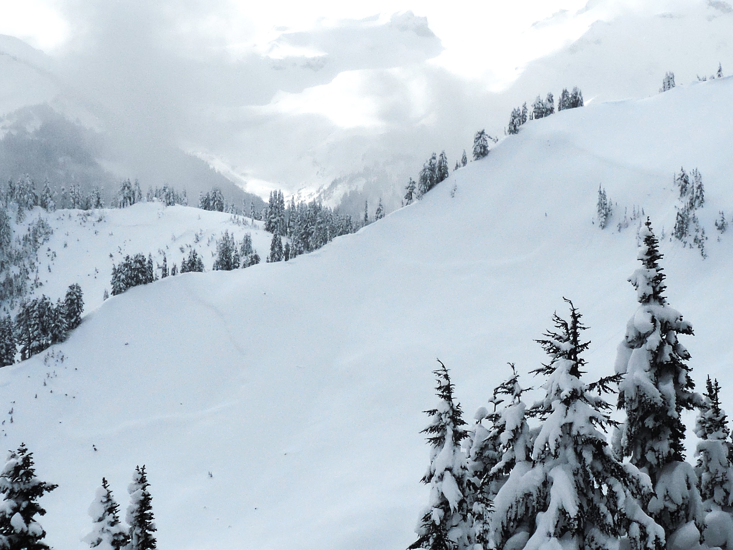
The upper snowpack in this area was way more settled and consolidated than expected, with riders pushing into big terrain in the past few days while other areas in West North were still reported as deep and wallow-y on Tuesday. With minimal sun and cold temps, avalanche danger was restricted to pockets of wind-loaded snow near upper-elevation ridgelines. Even then, wind slabs below the new snow were observed as unreactive. The only terrain that seemed off-limits was the steepest, most unsupported slopes. Or terrain with serious consequences in the runout. Or both. There was still plenty of deep new snow and just enough uncertainty that no one was pushing into that sort of terrain.
Weather
- Cloud Cover
- overcast
- Wind Loading
- previous
- Recent Snowfall
- 10
- Snow Avail For Transport
- moderate amounts
Mostly cloudy but with enough light and patches of blue to make for reasonable visibility through the morning. Light snow and thicker, lowering clouds in the afternoon. Cool and calm with no active wind transport.
Snowpack
10cm of F new snow. Upper snowpack increases in hardness with depth going from F at the surface to P+ above the EFC. No significant layer interfaces in the storm snow since Feb 24th. Mid and upper elevations HS is finally over 300cm in most locations. 150-200cm over the EFC. Rounded grains were found above the EFC and unreactive in deep tap tests.
Avalanche
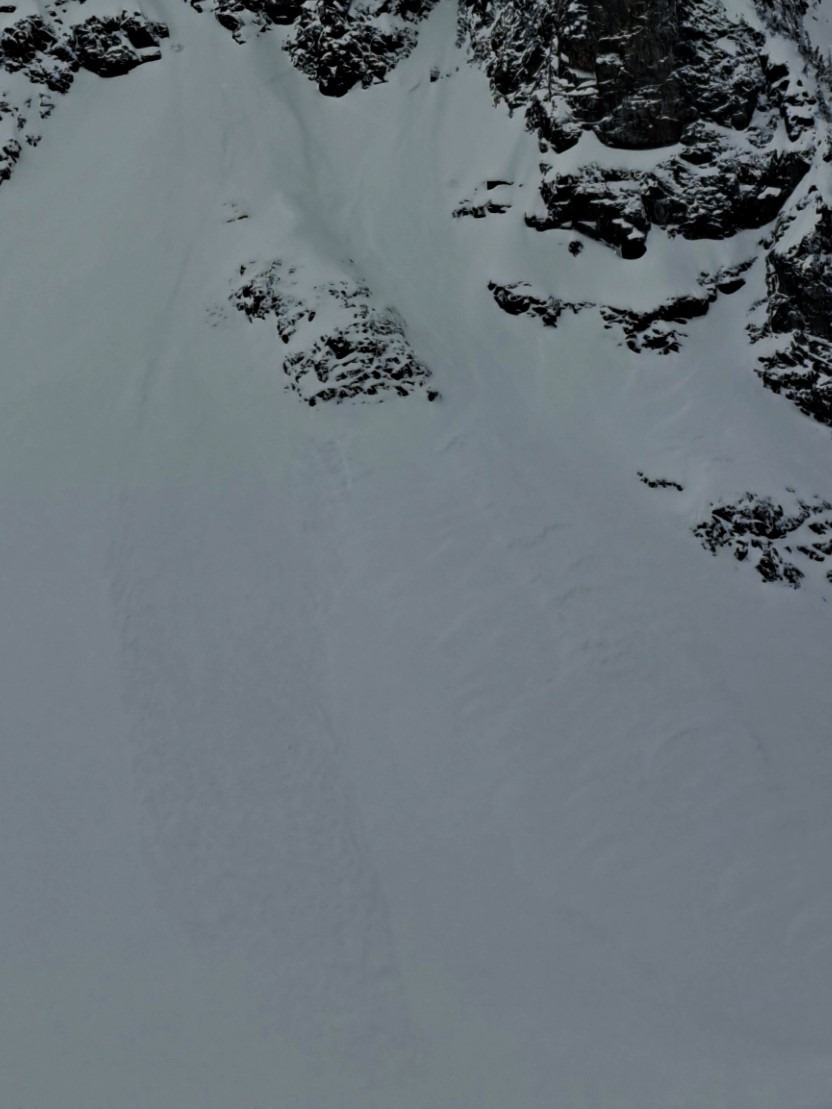
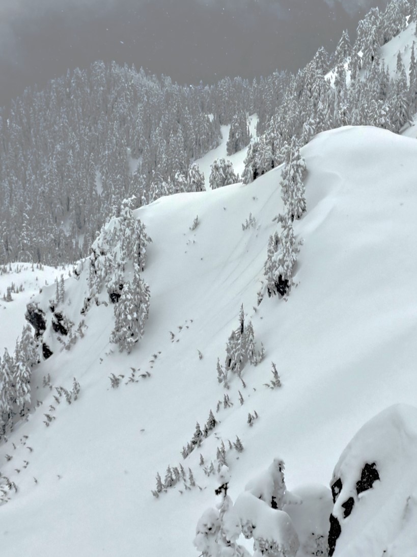
Small natural loose snow avalanches that had initiated in steep terrain and a few shallow soft slabs that pulled out during the last round of snowfall. Also, a few older naturals, likely from Feb 28-29, D2's that looked more like avalanches releasing on a persistent weak layer than a typical storm slab.