
Quick report
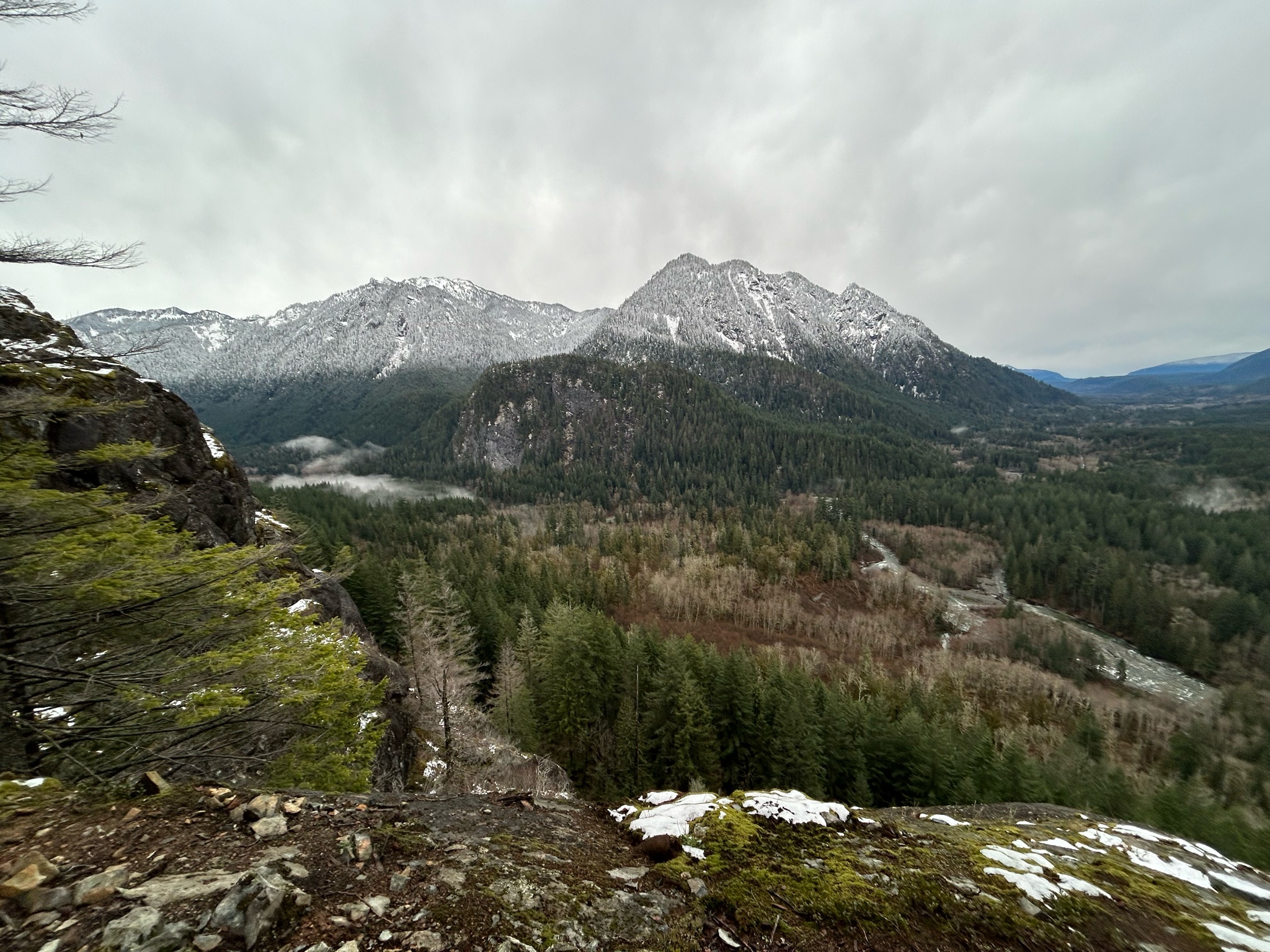
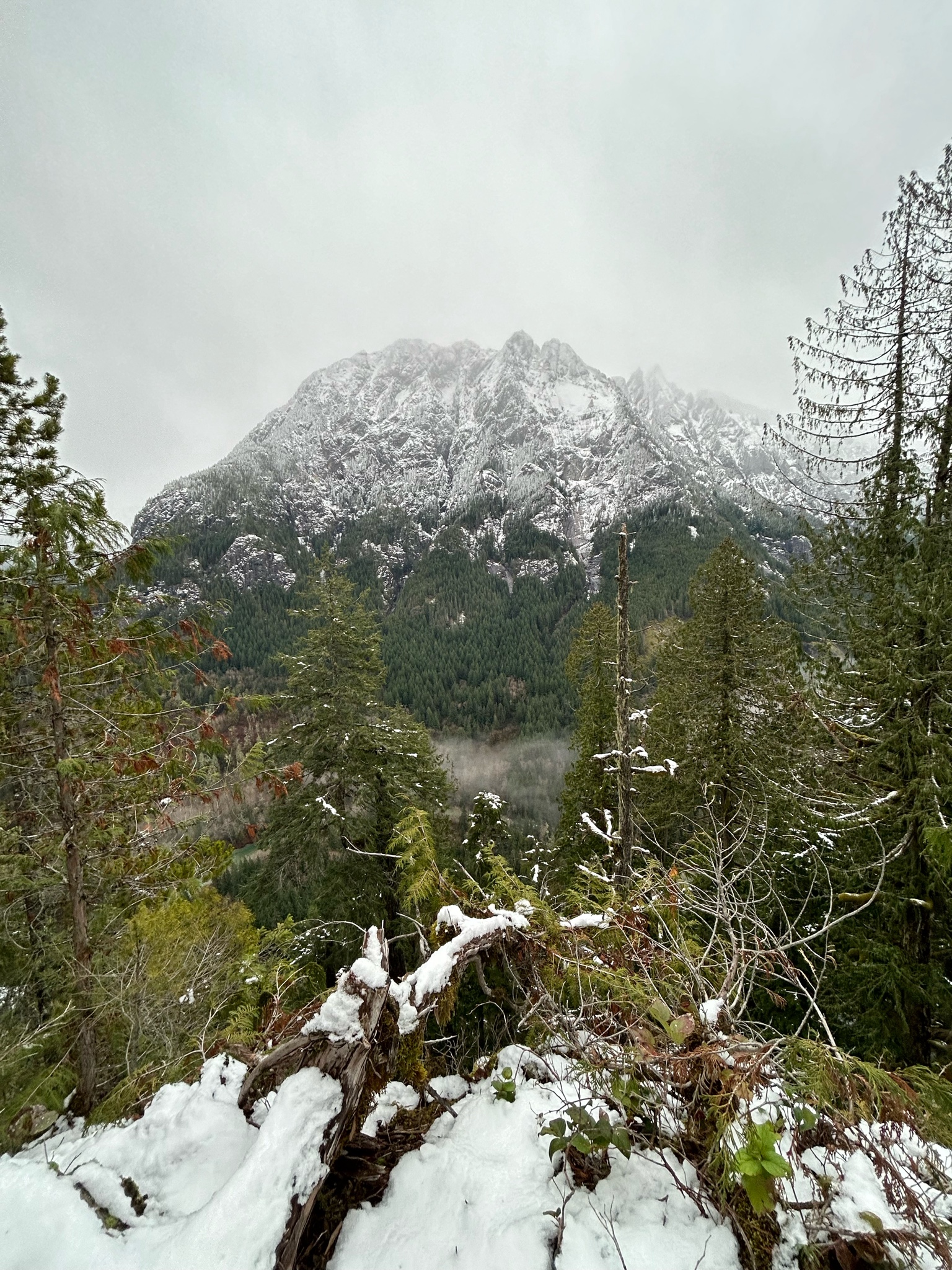
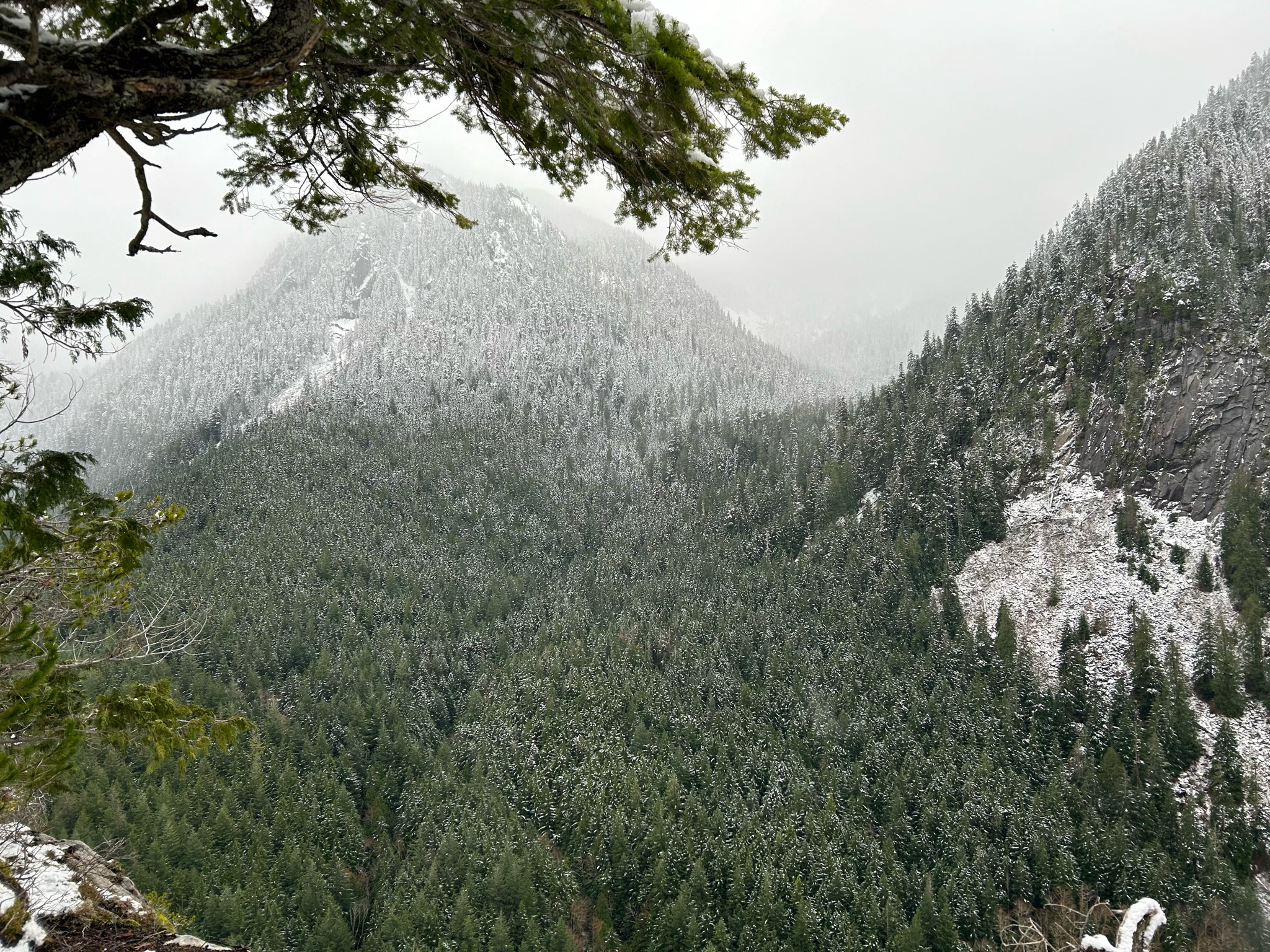
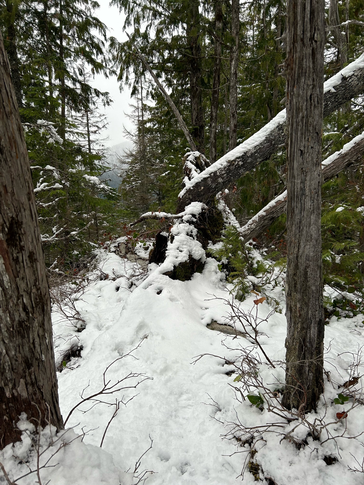
Stayed in lower elevations yesterday since I didn’t have the right gear to push higher uphill in the West Central zone before the forecasted rain event. Snow line was around 1.8k’. Started off as trace/ice & got up to 2”-3” deep out in the open. I suspect rain shadows from trees/temps caused the melt/consolidation as the forest thinned out down due to past logging and natural terrain features (higher areas along the ridge spine were rockier and steeper). Got out of there just as the storm front moved in around noon (like clockwork). Precip input was minimal (S-2; <0.8”) & fell as sleet (snow higher; rain lower). Visibility decreased to <2 mi when summited. Pictures: 1. Looking south from Garfield Ledges. Wild Dare (L), Preacher (C), & Pulpit (R), with S.B. between Preacher/Pulpit. 2. Garfield from S.B. 3. Base of ridge up Preacher (L) & Pulpit (R). 4. S.B. trail near summit.