
Quick report
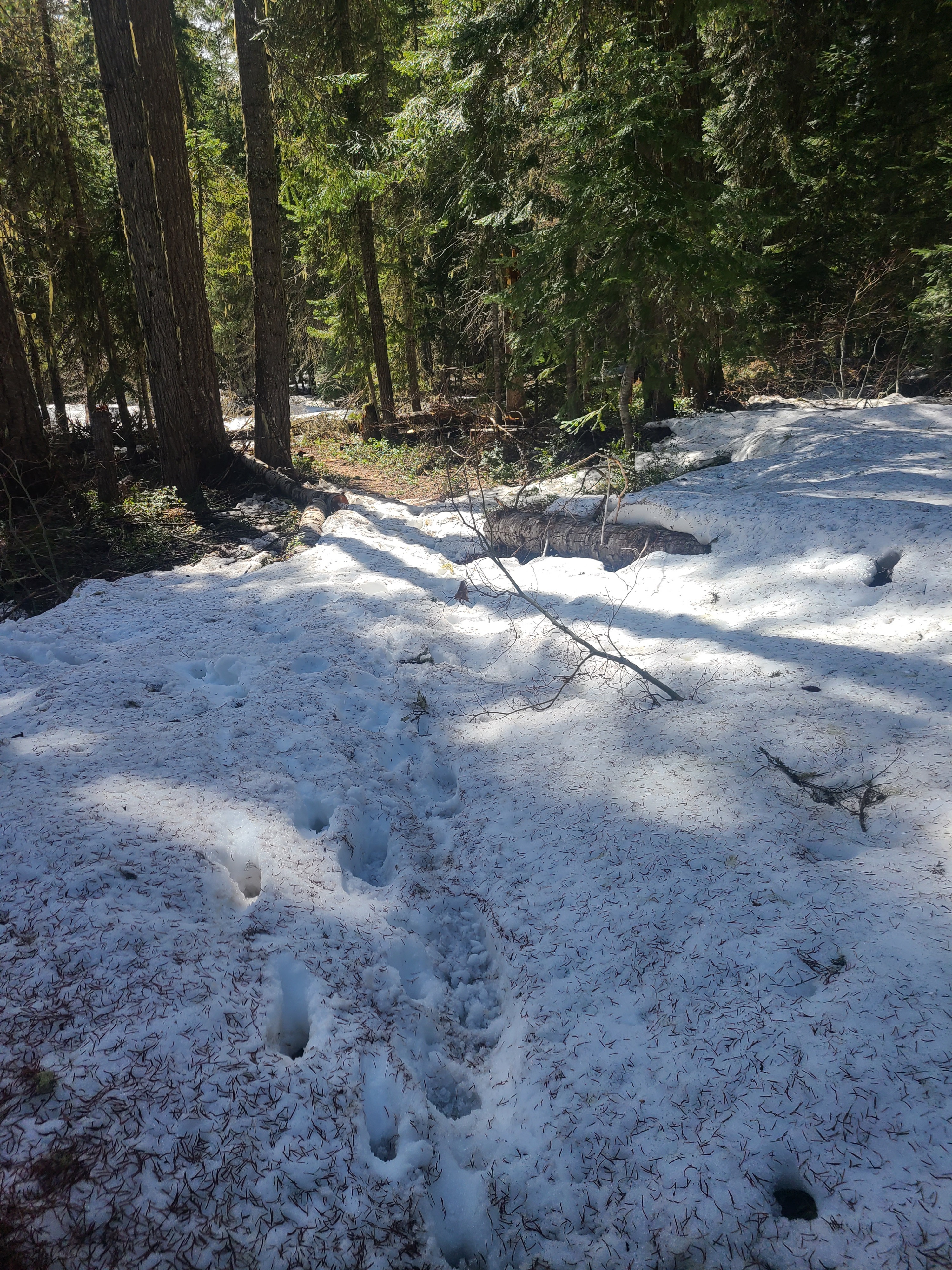
It's that time of the year when access is challenging to assess from behind a computer screen. I decided to take a driving and hiking tour of the western side of East Central to see if either snowmobile or vehicle access is feasible. Unfortunately, I found too little snow for snowmobiling but too much for driving, at least for my taste.
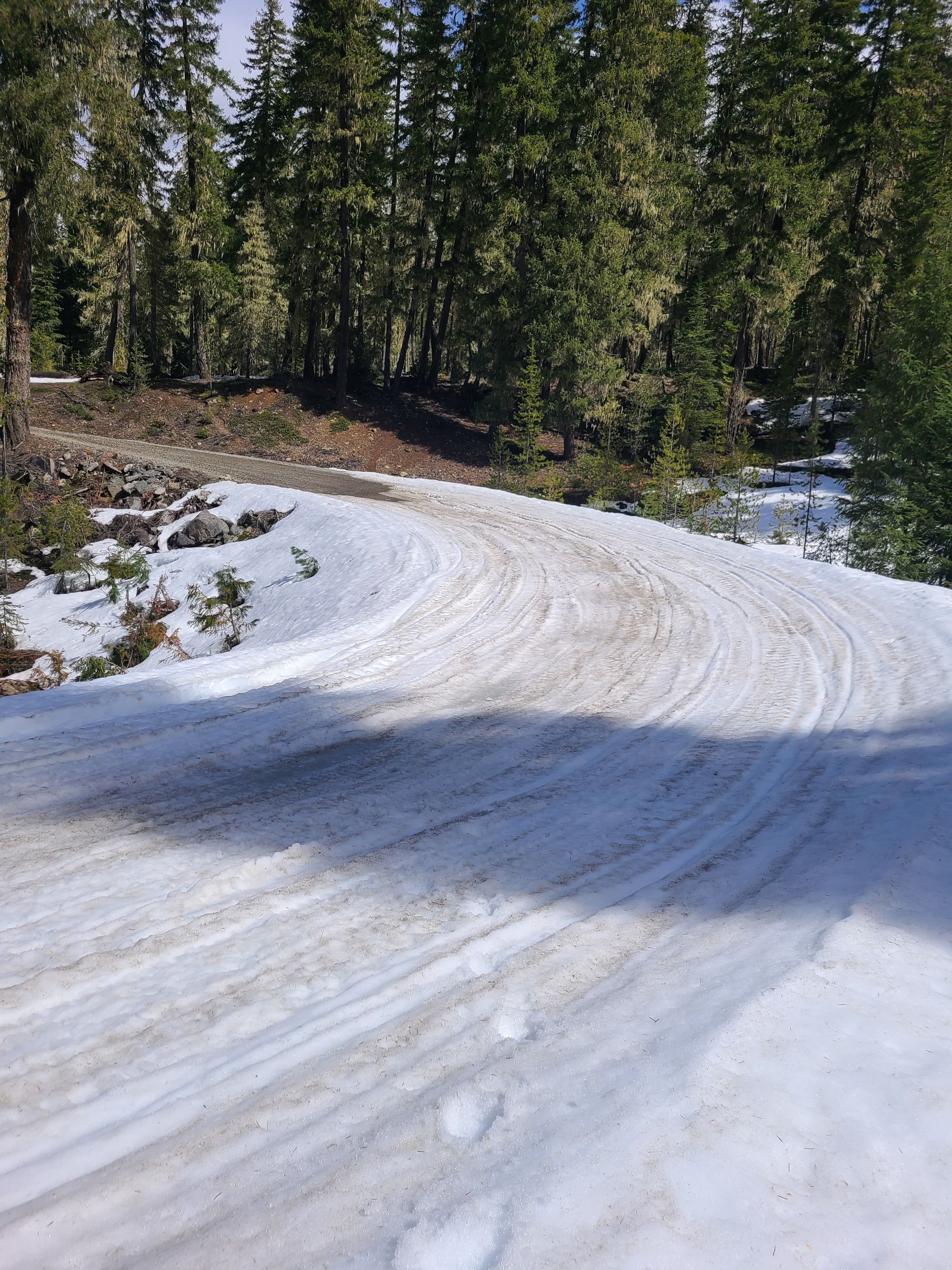
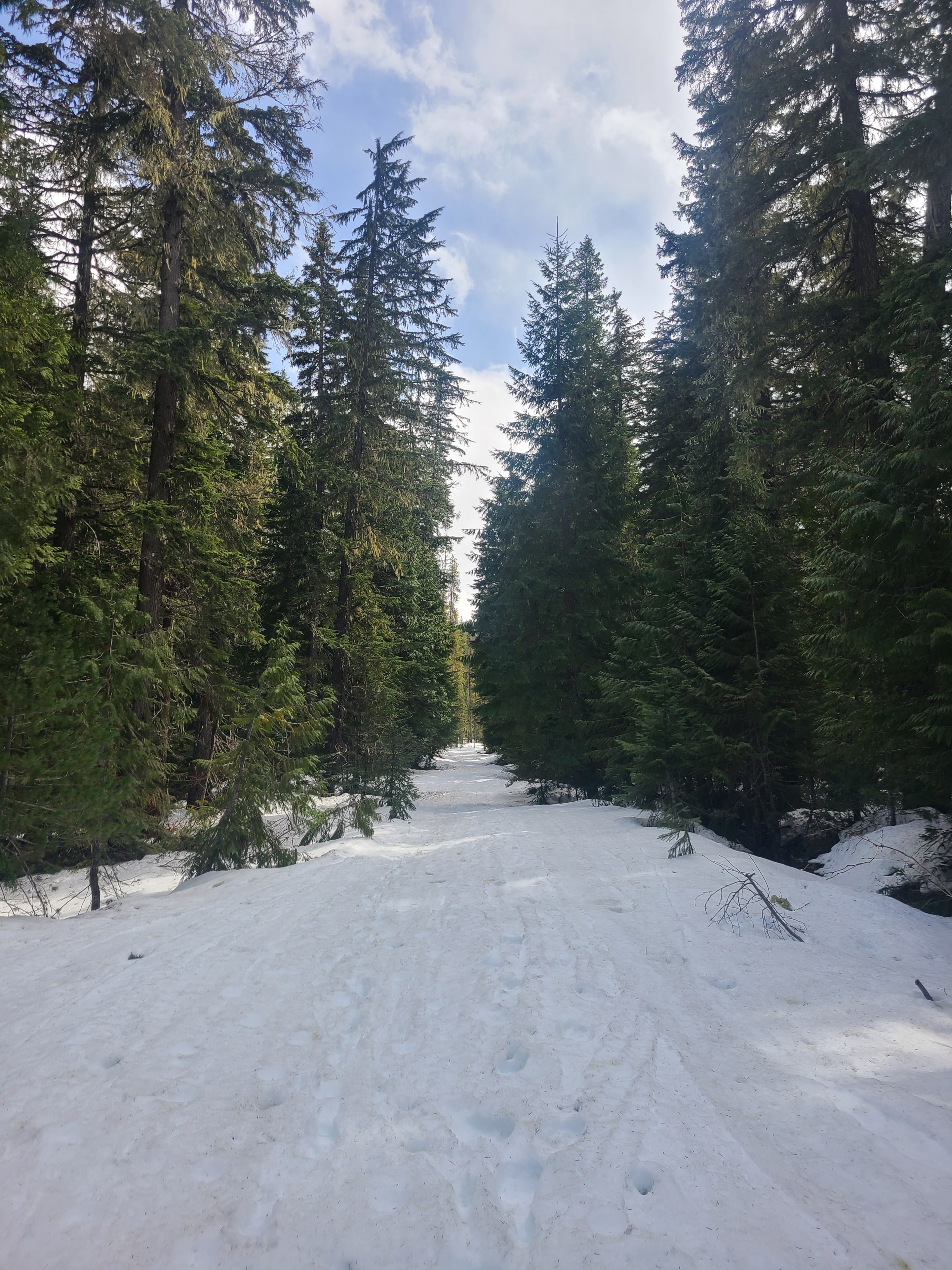
North Fork Teanaway Road: The road snow-free for about the first mile, and then patches of snow begin. Some of these were deep enough to prevent a moderate clearance vehicle from traveling much past the turn for Stafford Creek.
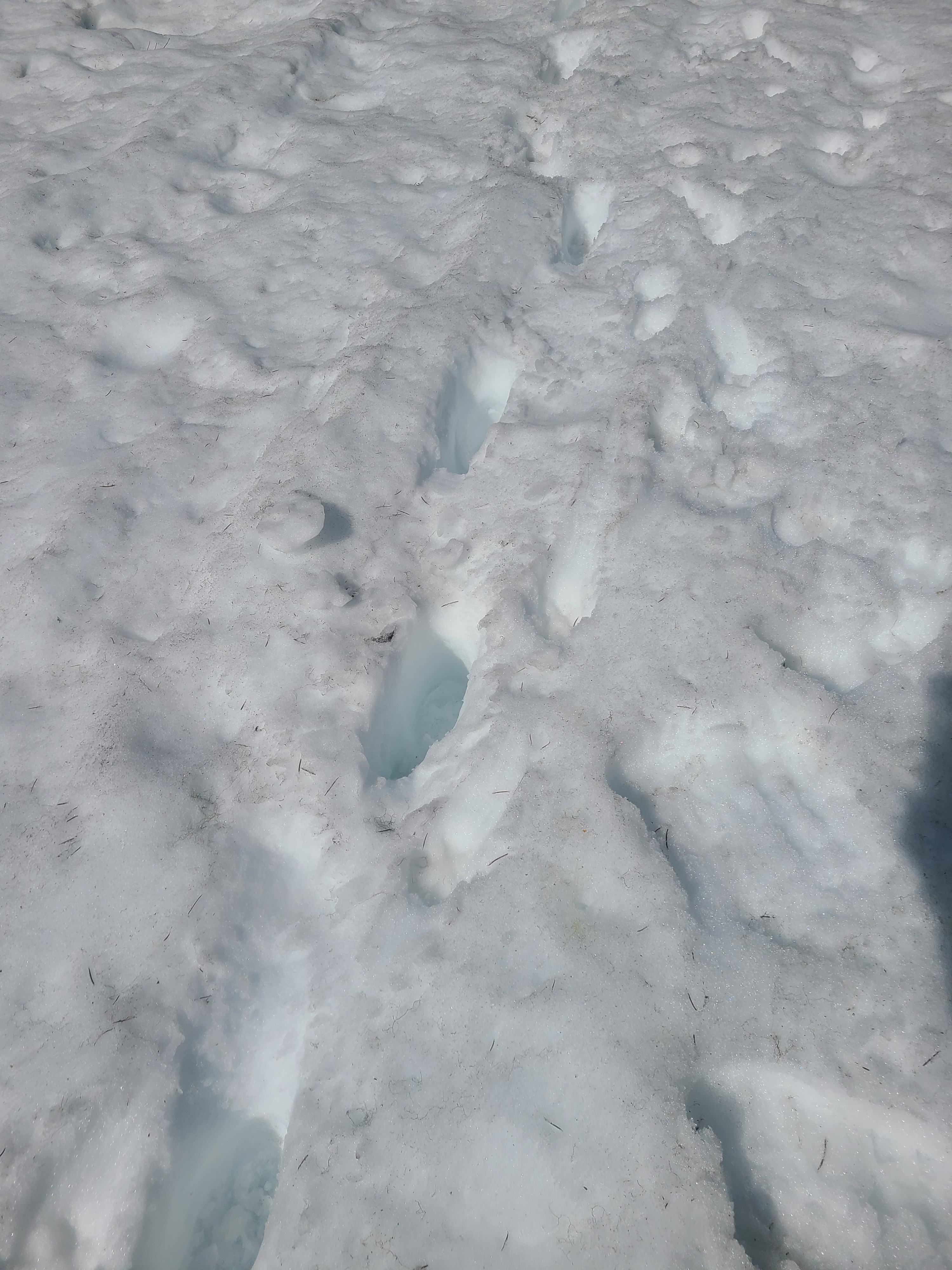
Salmon La Sac: The Road is mostly melted out with patches of passable snow until China Point. I parked just before this and walked to the Mt. Davis Trailhead. There are long patches of bare ground with sections of snow impassable to vehicles.
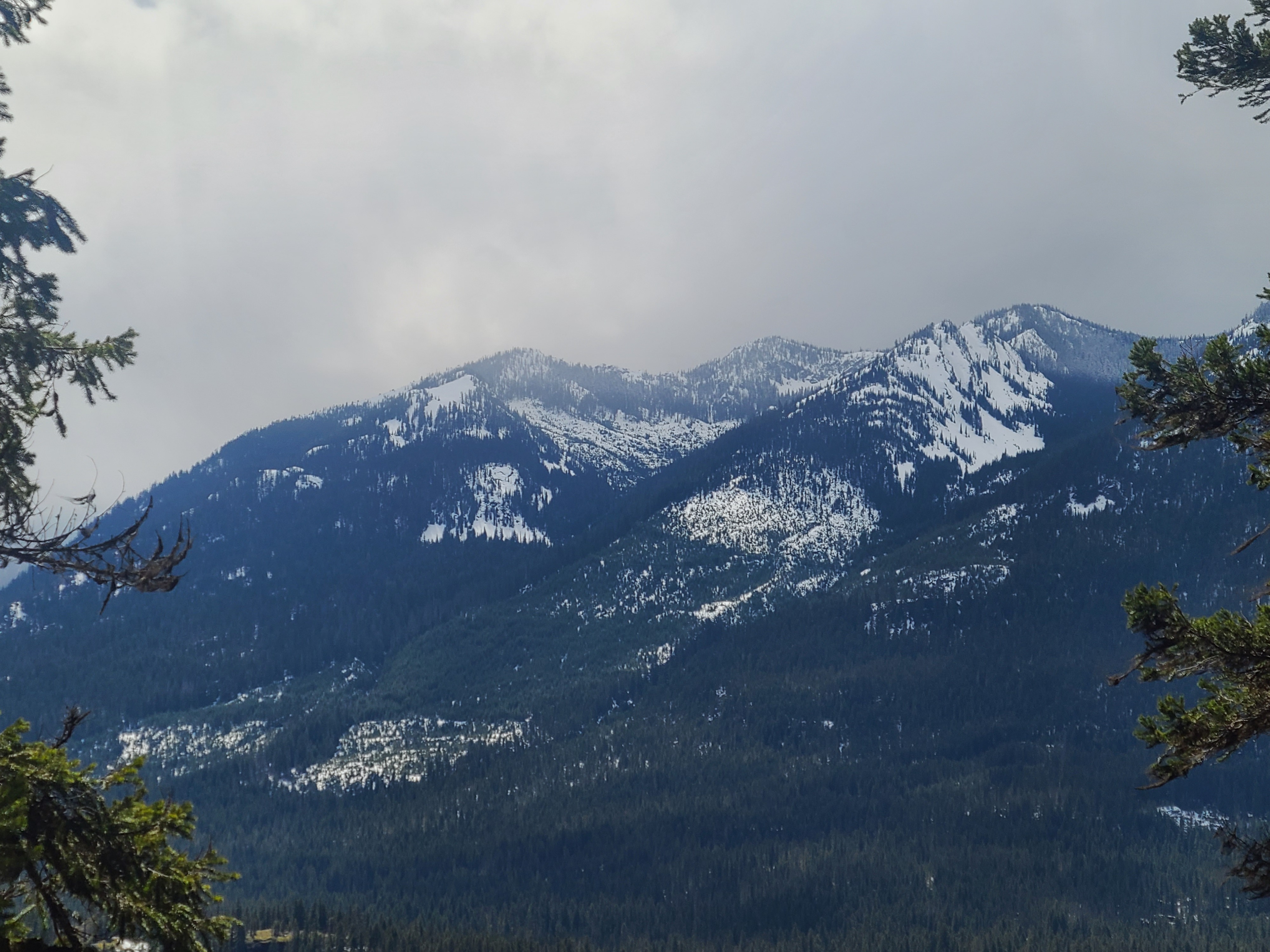
The rain/snow line hovered between 5200-5300ft on Red Mountain. While I couldn't see any actively blowing snow, the strong winds in the valley made me suspect active wind loading at mid and upper elevations.
Weather
- Cloud Cover
- scattered
- Rain Elevation
- 5200-5300ft
The day started with clouds and light rain in the valley. By mid-day, skies were mostly sunny overhead, but dark clouds hung over the peaks further west. Winds were strong even at low elevations.