
Quick report
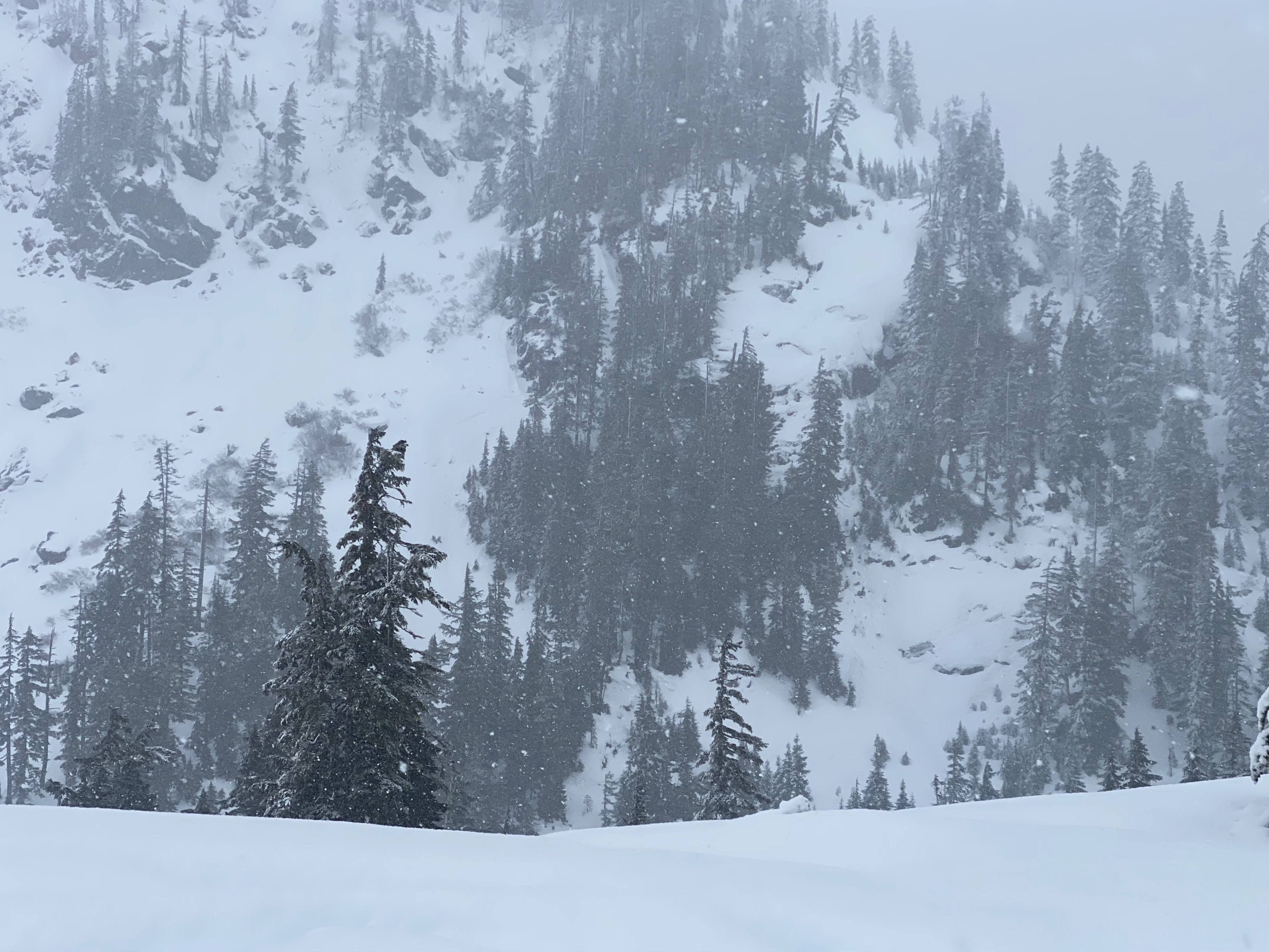
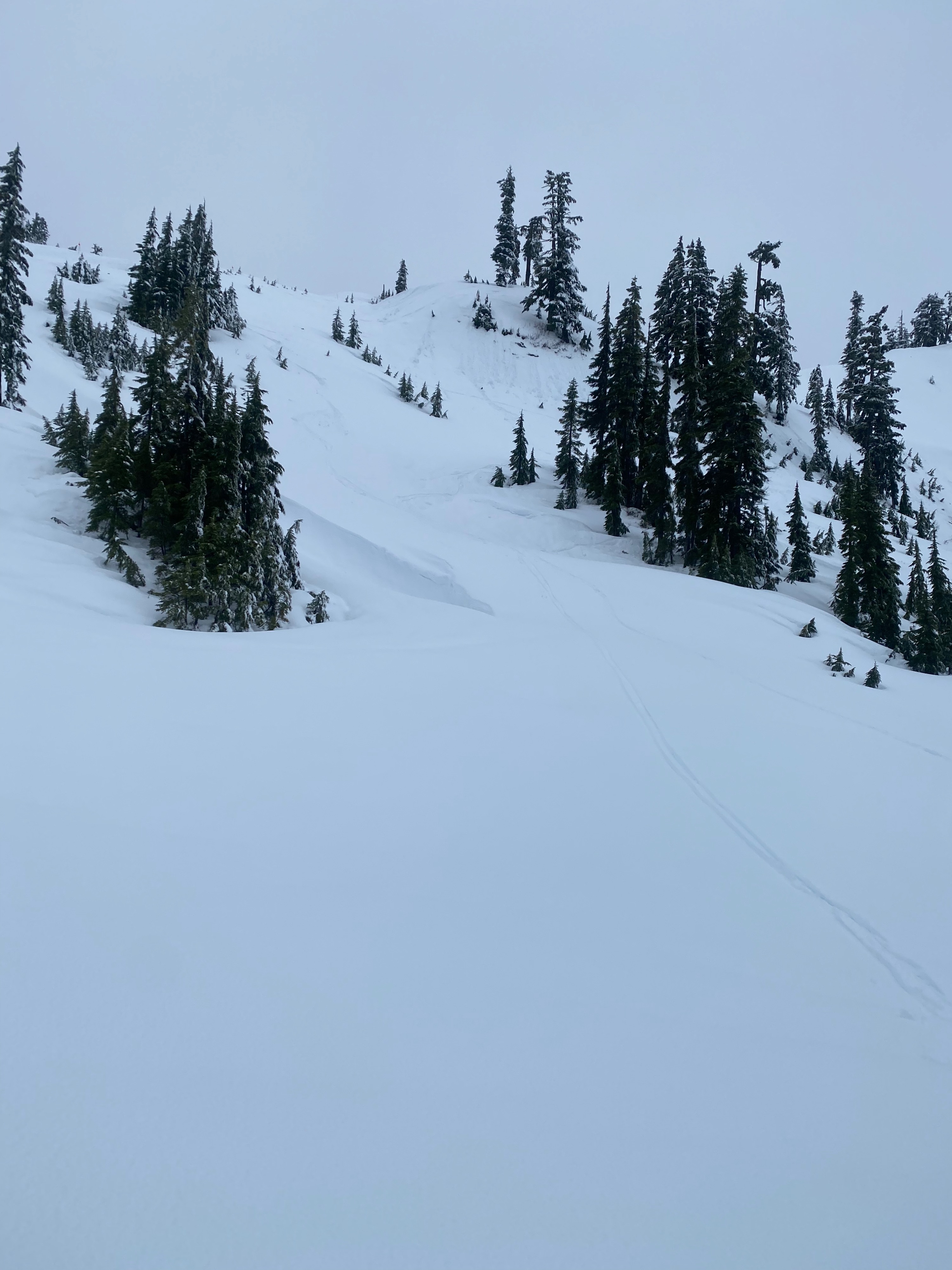
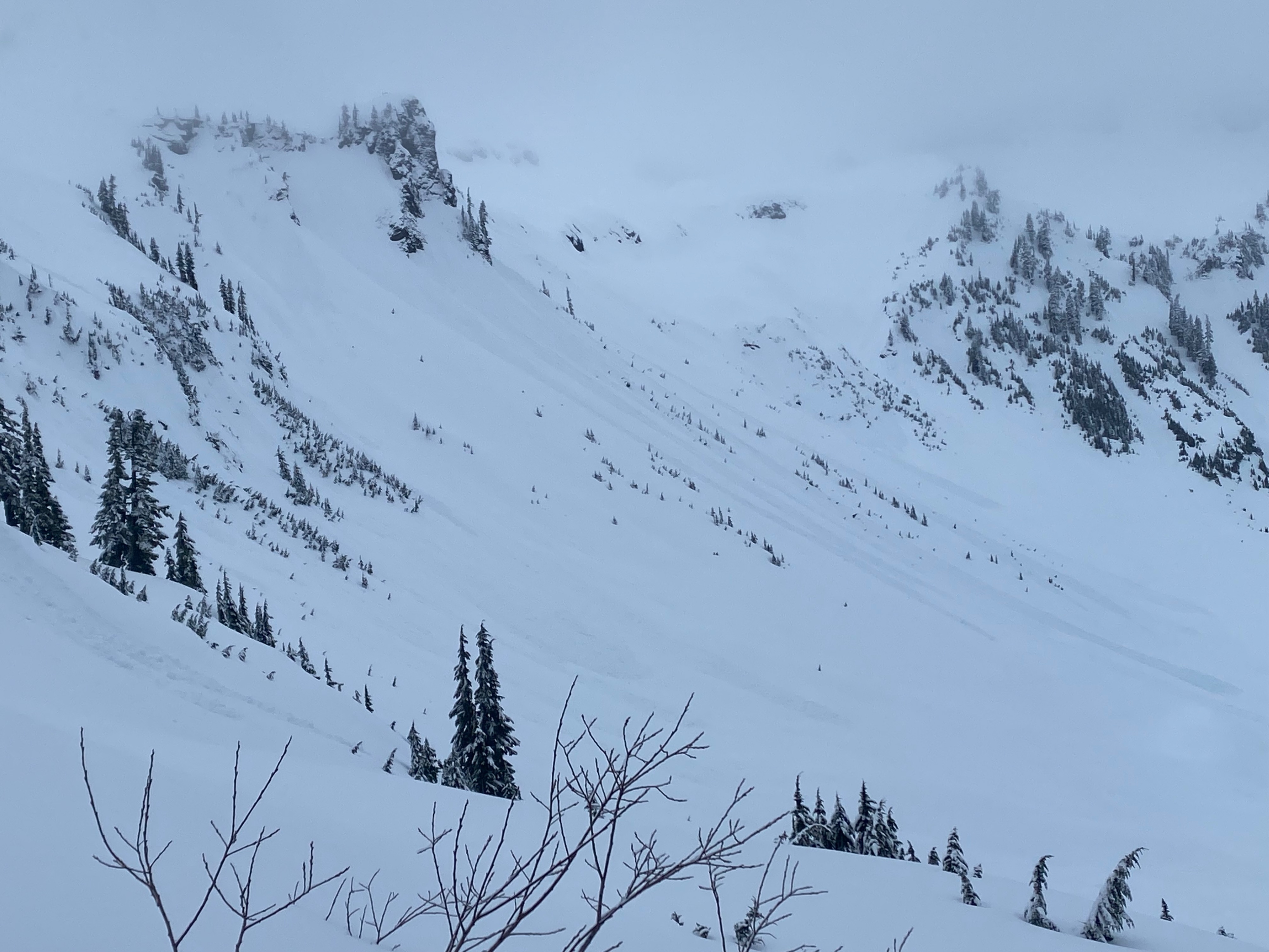
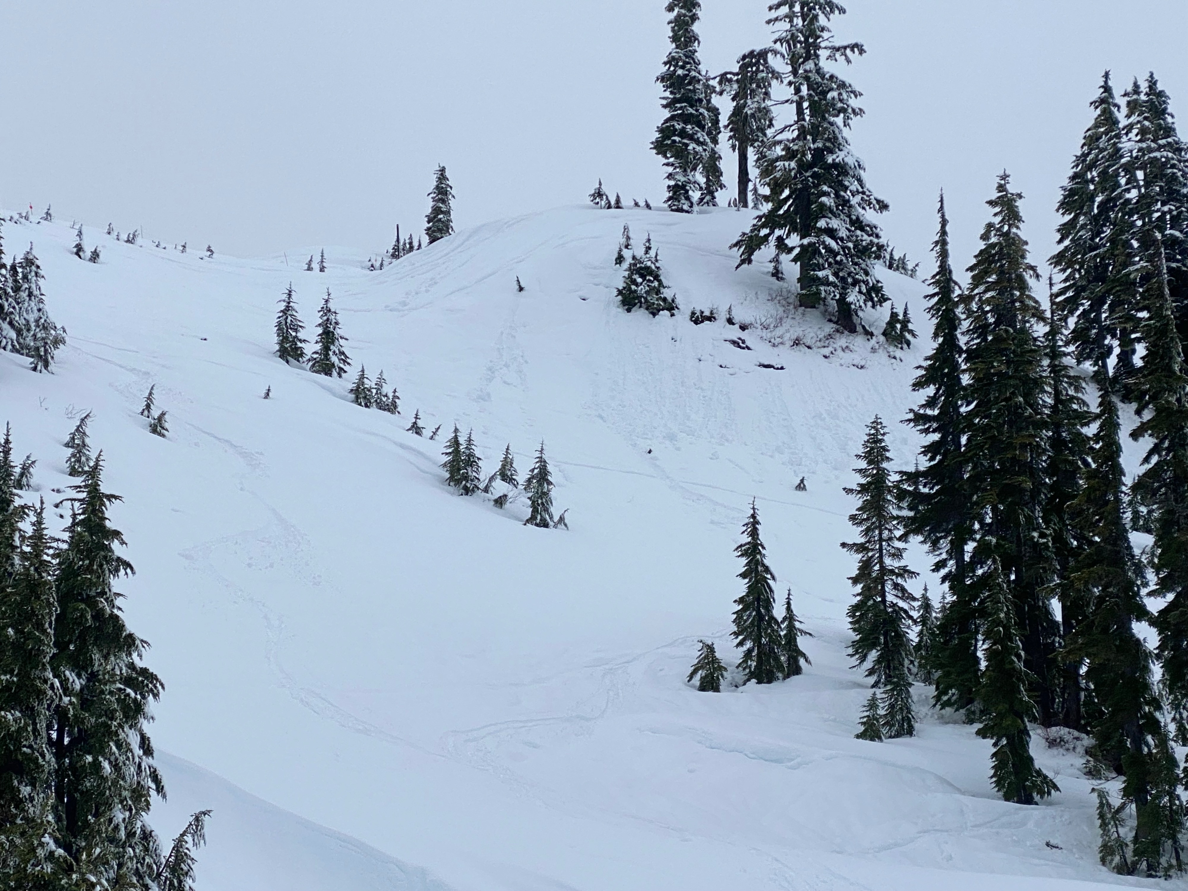
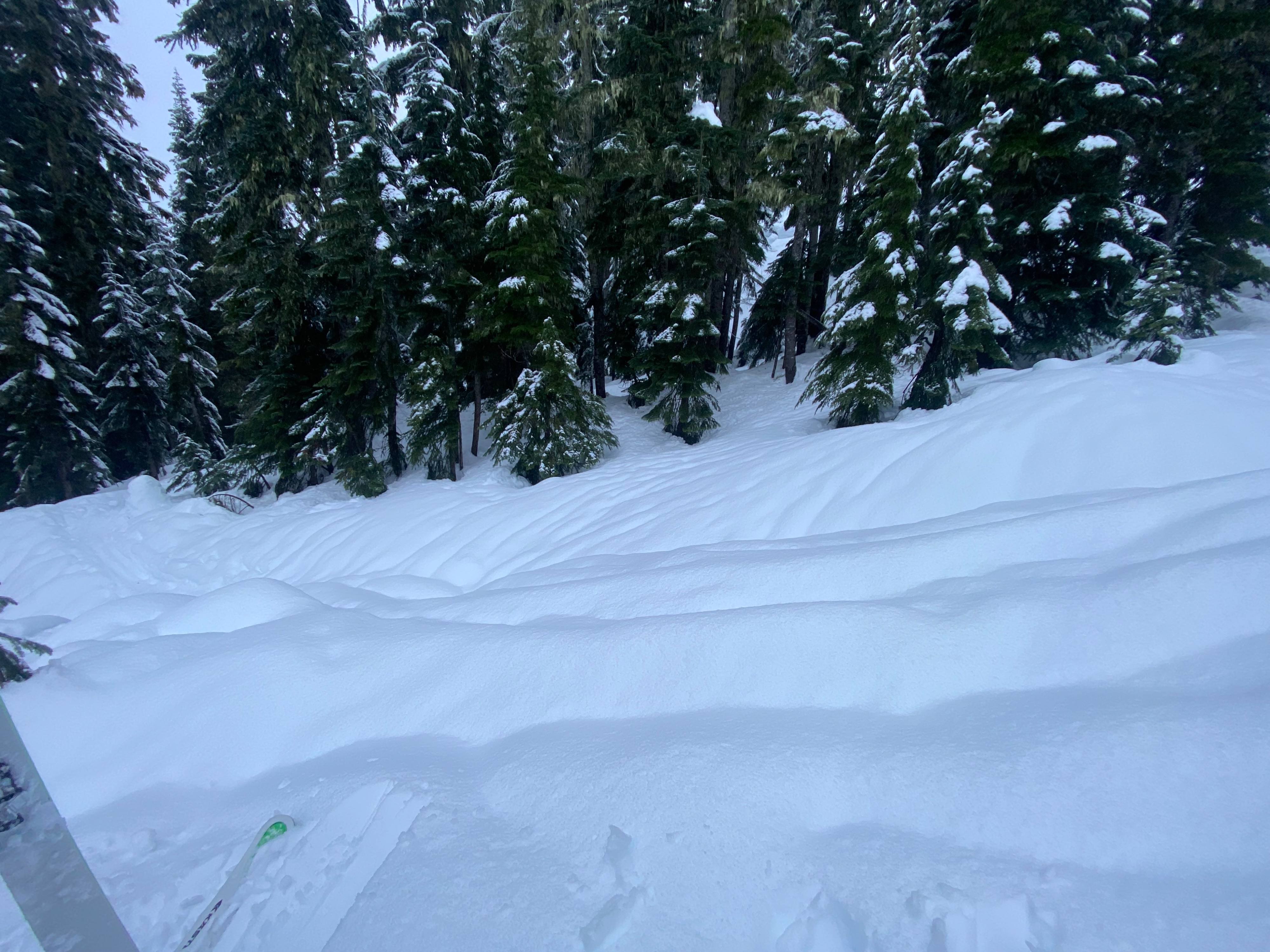
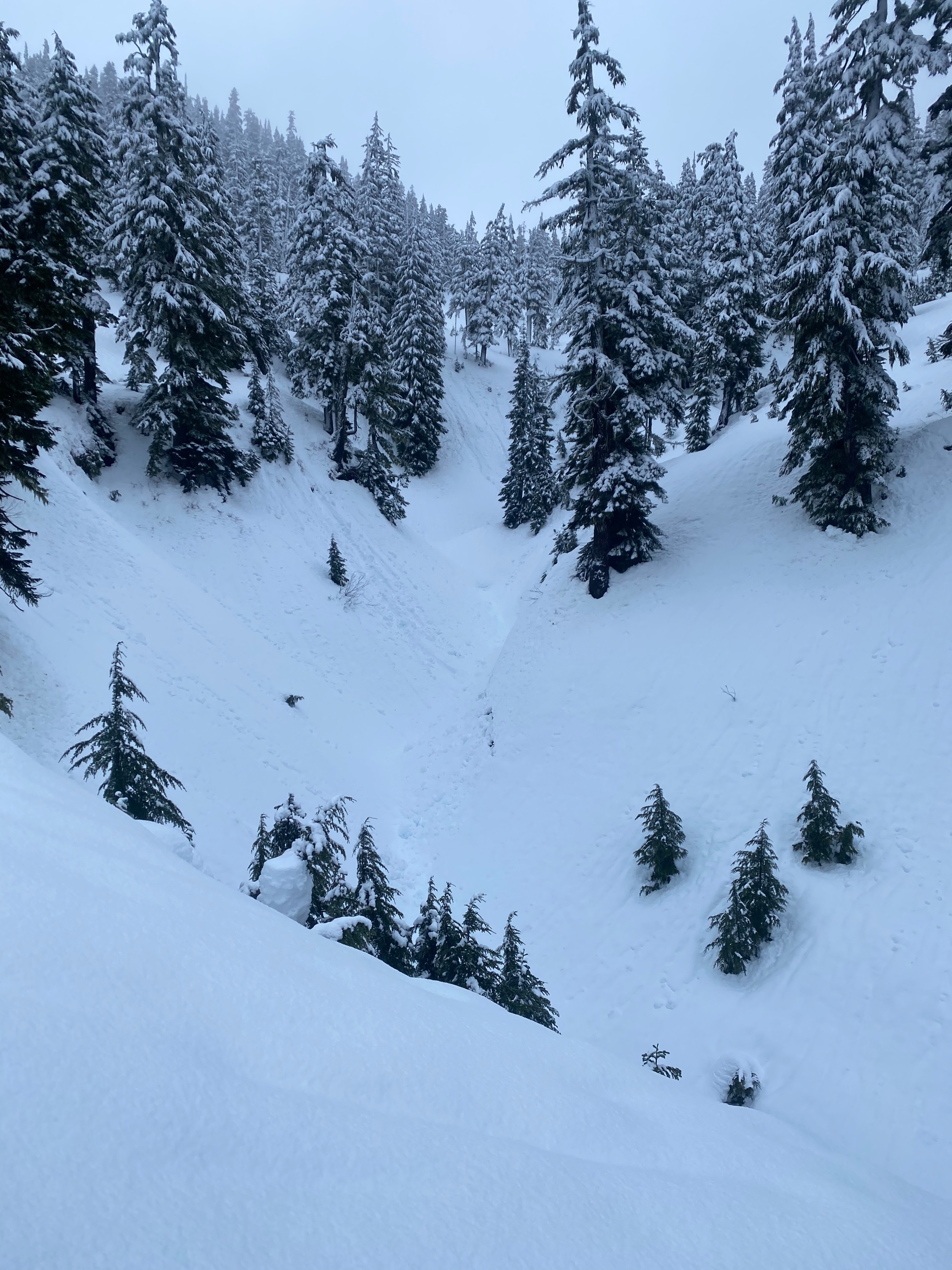
Moderate winds caused wind loading on isoalted terrain features in mid elevations but the moisture in the snow seemed to be helping old snow bond to new with less snow transport observed. Wet loose avalanche activity was abundant in larger terrain, inititating off of cliff faces and other terrain features. We did not notice any storm slab activity but visibilty was low and so it was hard to tell.
Large rollerballs and wet loose avalanche activity was noticed. Small wet loose slides with little entrainment would initiate from ski cuts and off skis following turns.Weather
- Air Temp
- 30 - 33
- Cloud Cover
- overcast
- Wind Loading
- moderate
- Rain Elevation
- 4000
- Recent Snowfall
- 5 cm
- Snow Avail For Transport
- small smounts
Rain transitioned to snow around 4000' S2 at start of the day transitioning to S1 and very light by noon. Moderate winds persisted from the south, gusting to strong at mid elevations.
Snowpack
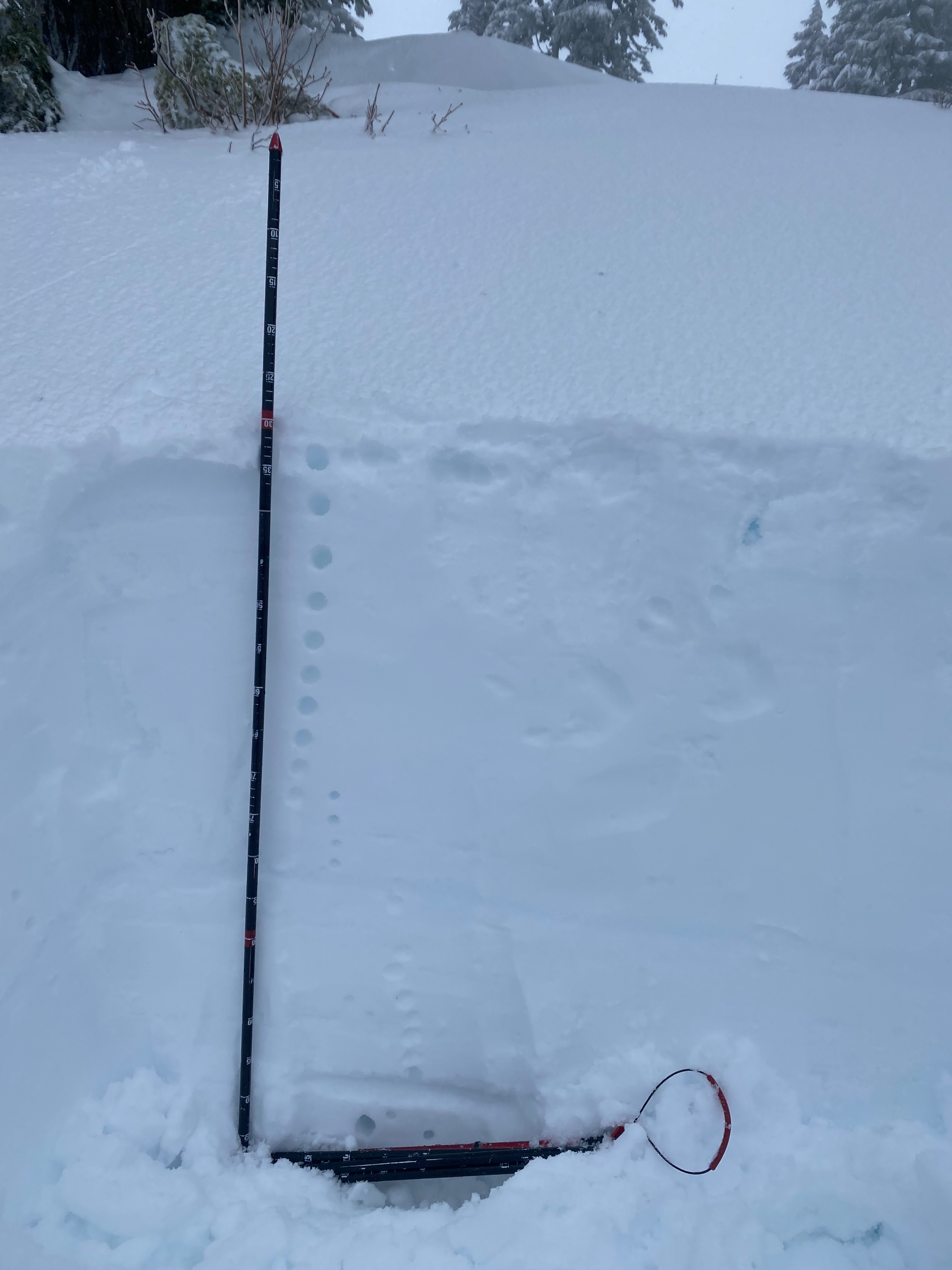
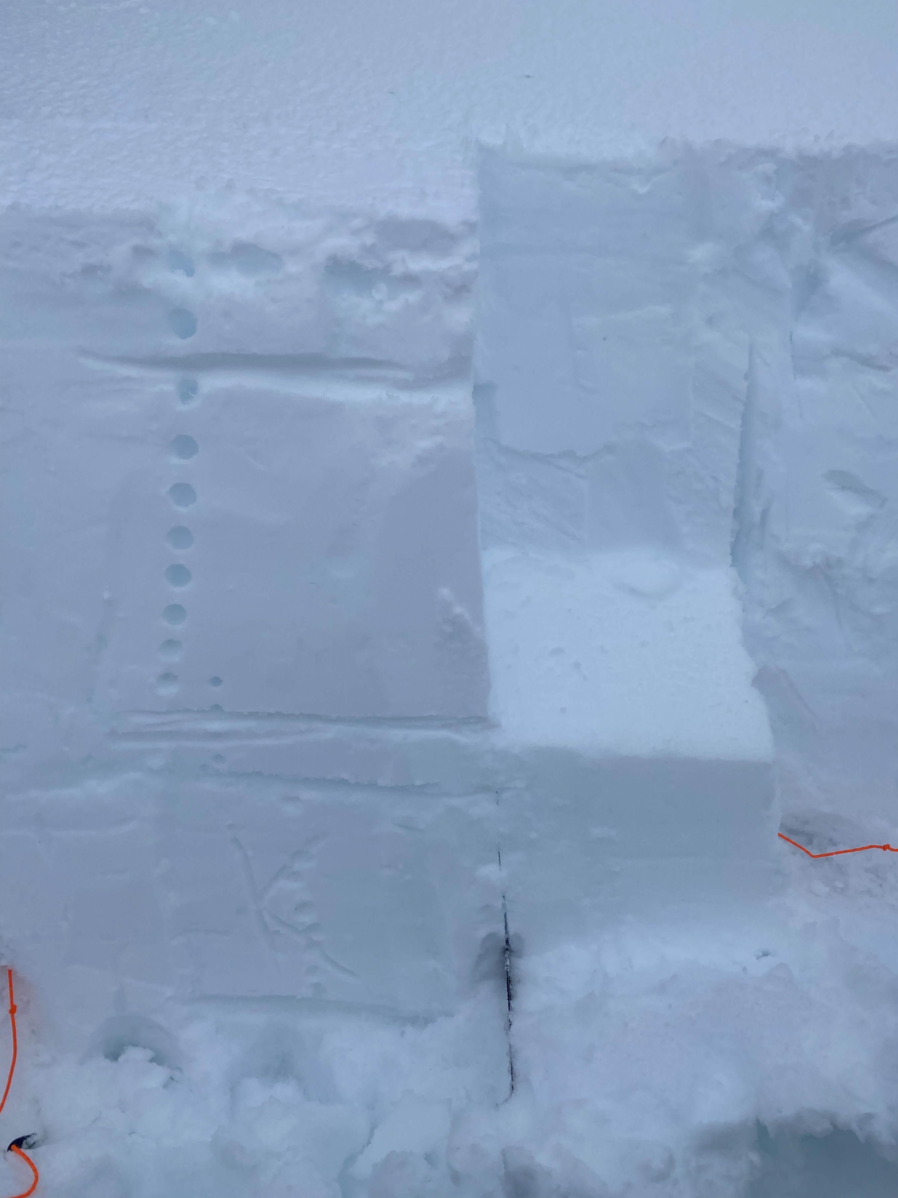
Around treeline (4900') the top 1.5' of snow was lightly saturated and trended from 1F hardness to pencil. At 1.5' below the surface there was a K hard MF crust, the cohesive slab above it which could be pulled out with moderate force during a shovel shear. About 0.5" of new snow had accumulated above a very light MF layer, the wind scoured surface had a scalloped, almost rimmed look to it. HS here was about 130 cm. At 4200' the first 1' of snow was moderatly saturated and you could almost squeeze water out of the snow. There was about 1 -3" of new snow at this elevation with HS closer to 200 cm. Runnels existed on most surfaces below 4500' indicated preferential flow and saturated snow. Bonding between the new/old snow interface was better at lower elevations them mids.
Avalanche
Wet loose avalanche activity noticed at low and mid elevations. Widespread acitvity above Bagley lakes, likely starting on Saturday continuing to Sunday but exact occurance was challenging identify.