
Quick report
- Cracking
- isolated
New snow will fall on a variable surfaces across the Mt Hood zone. Below 5500 ft, and most solar aspects hold a surface crust. Shady aspects and upper elevations hold dry snow which consists of old drifted snow, settled snow, scoured surfaces, and fresher shallow slabs from Saturday's loading. The EFC produces inconsistent test results across the zone but appears to be rounding and gaining strength below 6500 ft.
Weather
- Air Temp
- Above freezing below 5500 ft
- Cloud Cover
- scattered
- Wind Loading
- moderate
- Recent Snowfall
- 0
- Snow Avail For Transport
- moderate amounts
Snowpack
I went out to take stock of current surfaces and to check on the EFC interface in a more shallow part of the zone before heading into an active pattern
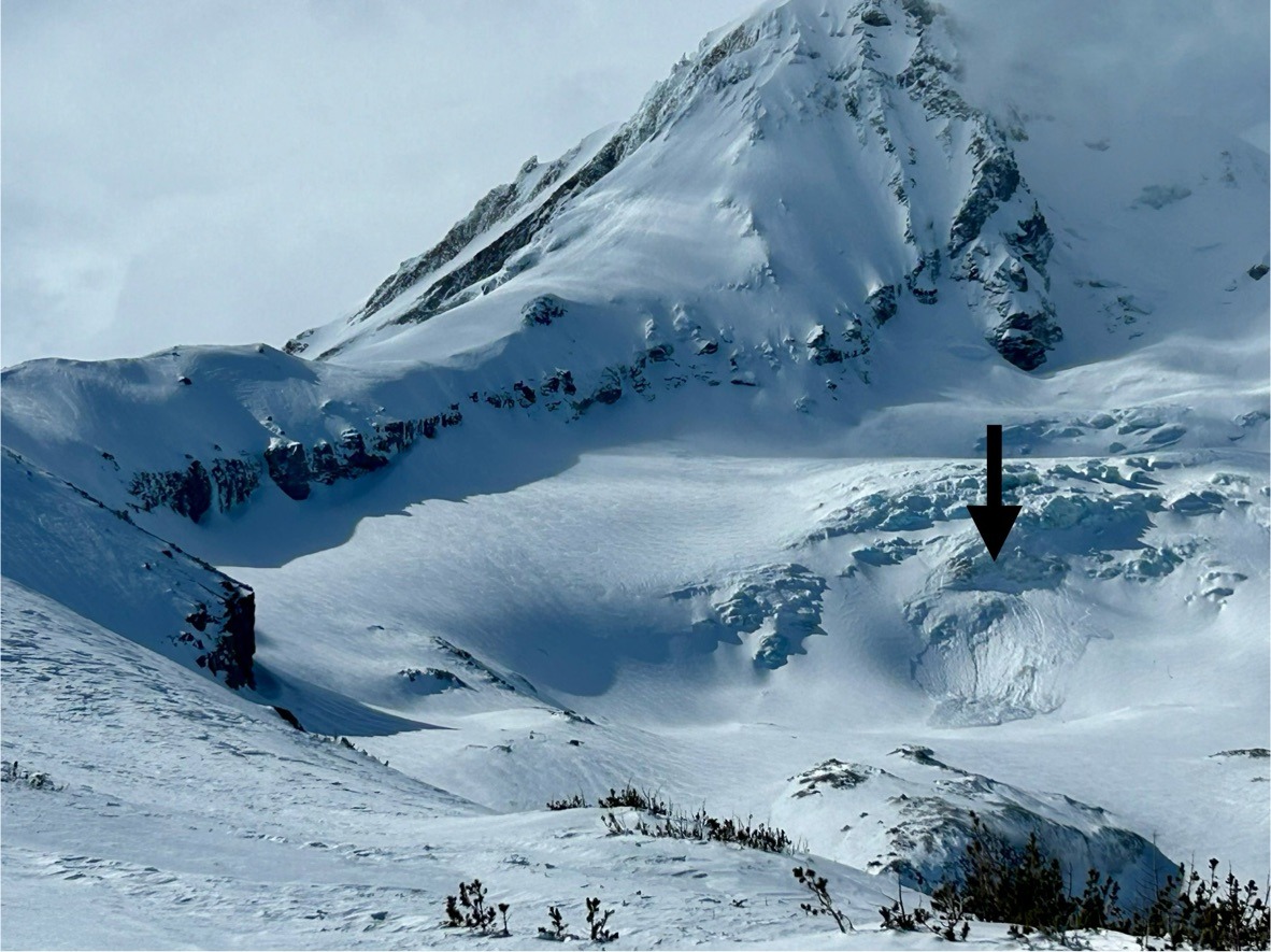
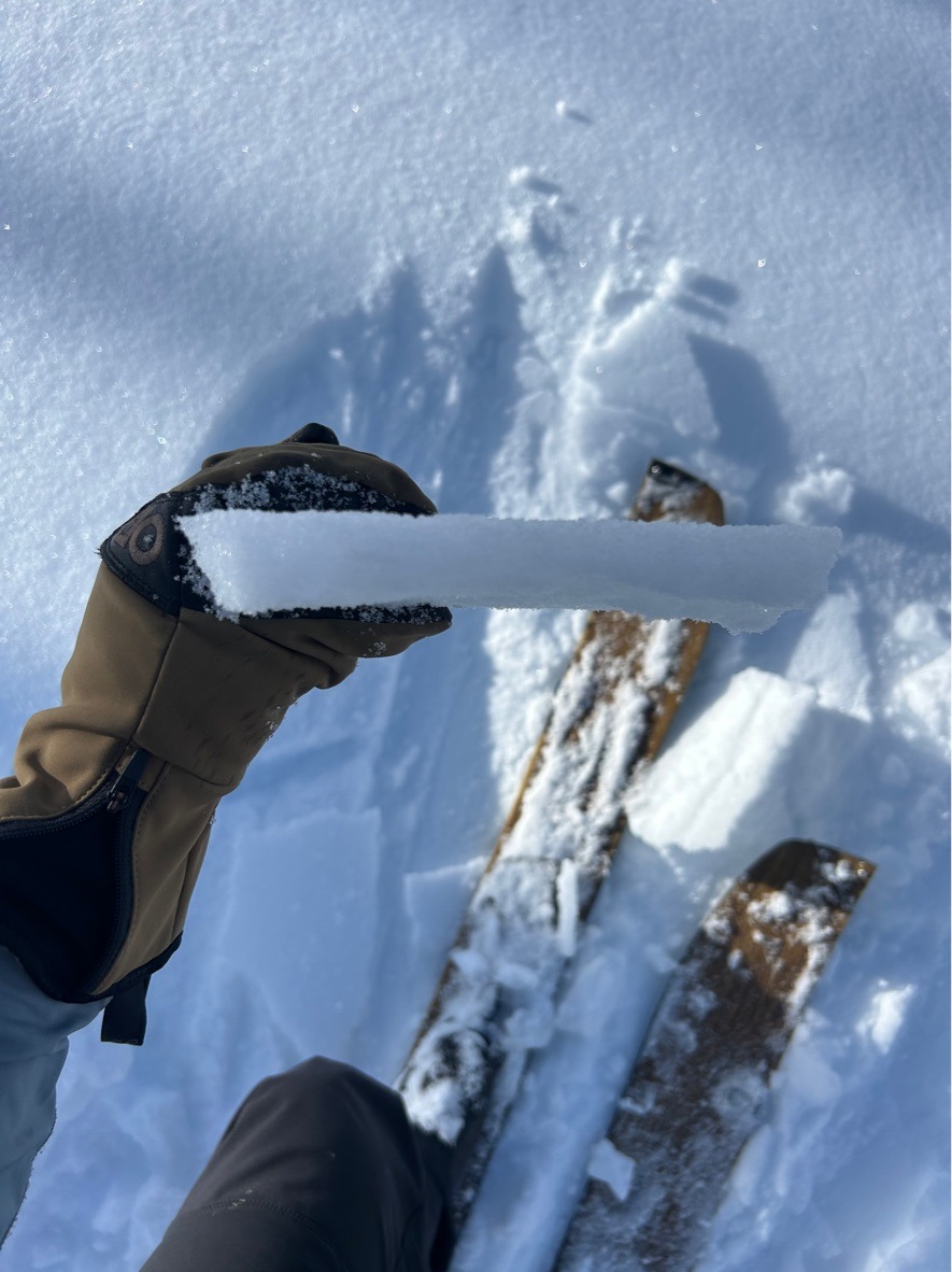
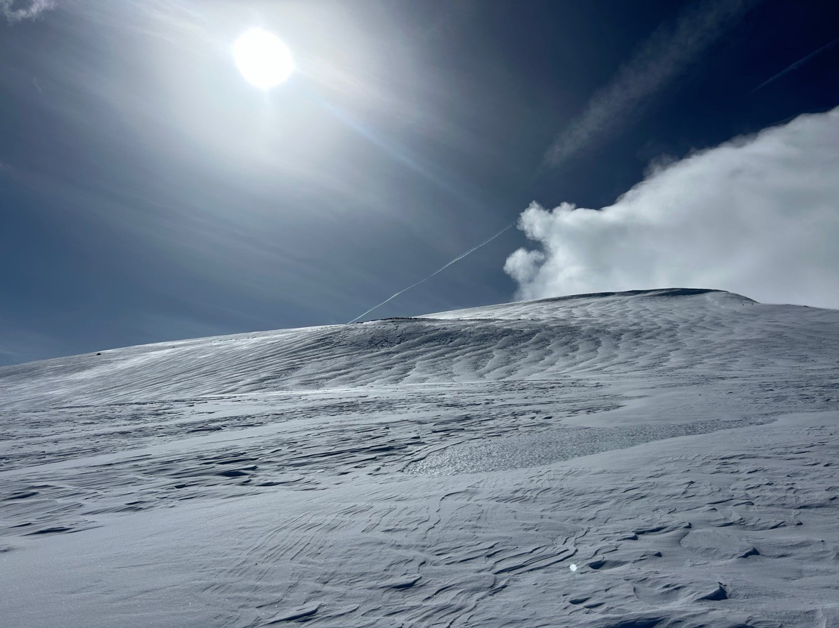
Overall, I found a widespread melt-freeze crust extending to 5500 ft on this side of the hill. Middle elevations are more variable holding cold, dry snow on shady north/east aspect while other slopes that receive significant solar input have a crust. Once above the treeline, I found a patchwork of surfaces from old stubborn slabs, smooth chalky snow, scoured ice, and fresher pockets of drifted snow from Saturday's upper elevation loading event.
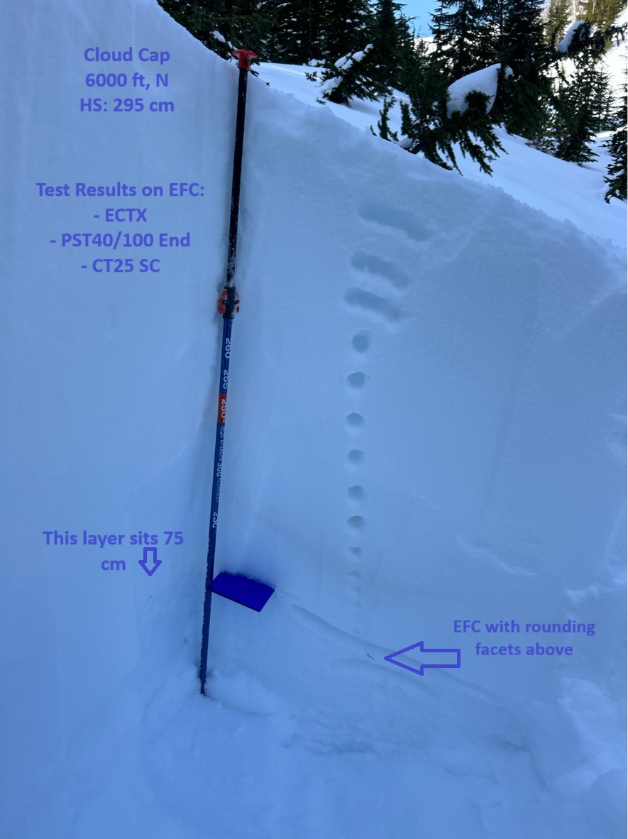
One of my main goals was to target the EFC interface on shady aspects. On a north aspect @ 6000 ft near Cloud Cap, I found the EFC sitting 75 cm below the surface. In this location, I did notice some weaker 1mm rounding facets sitting above the crust.
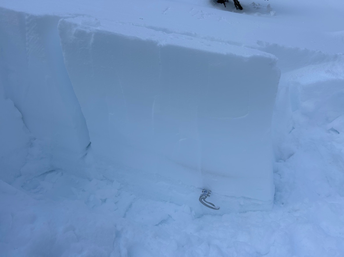
Snowpack test results targeting EFC 75 cm below surface:
- CT25 SC
- PST 40/100 end on EFC
- ECTX
Generally, time is helping this layer round and gain strength at elevations below 6500 ft. We're trending in the right direction, but still have uncertainty at upper elevations.
Check out the media for more details.