
Quick report
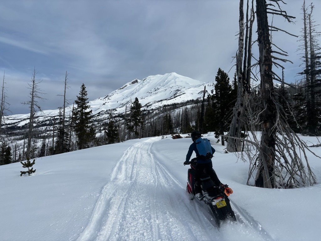
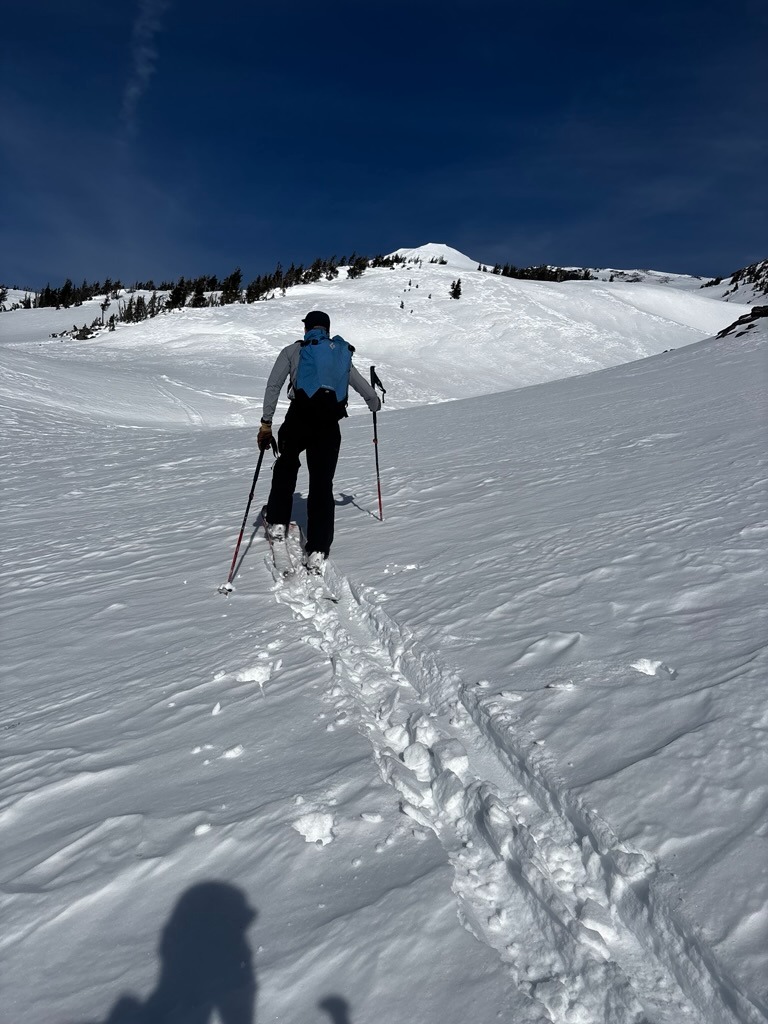
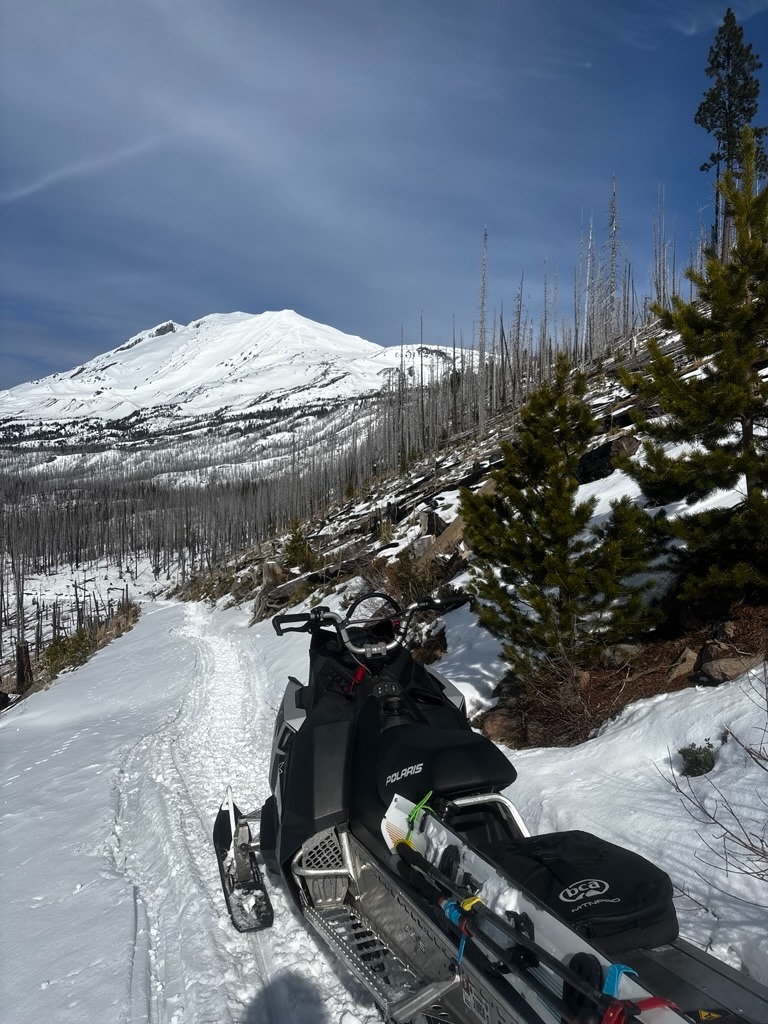
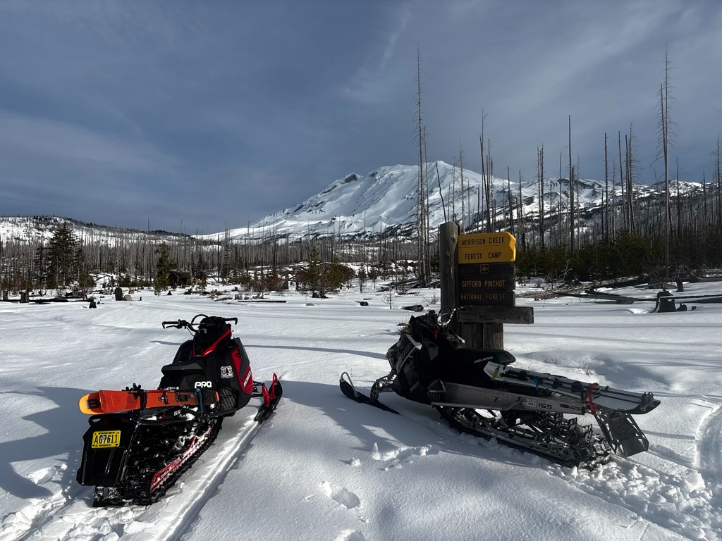
Surface and riding conditions are a mixed bag on the south side of Mt. Adams. Today was one of those days where sledders or splitboarders were having more fun than skiers since the surfaces were either breakable or drifted.
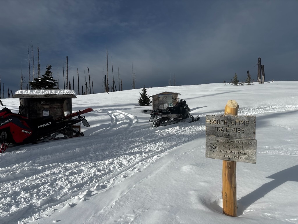
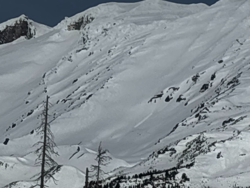
Lower elevations remain very shallow and a more meaningful snowpack exists above 5500 ft. In general, we found 9-12 inches of recent snow sitting over a crust as we ascended above the south climb trailhead at 5500ft. We found old wind slabs generally unreactive on the aspects and elevations we traveled. Recent wet-loose activity was isolated and limited to very steep, rocky, south-facing terrain.
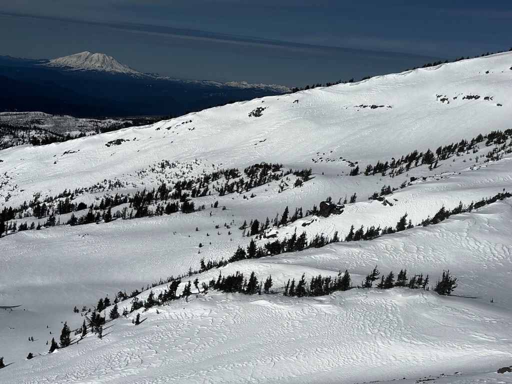
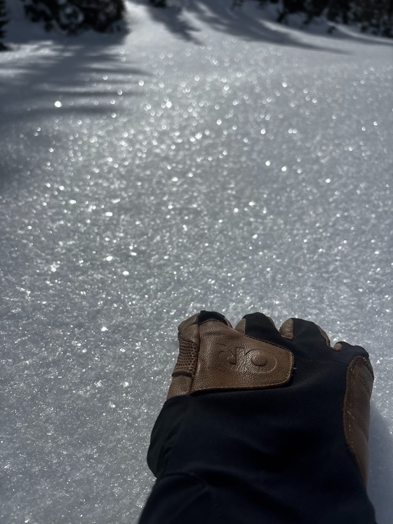
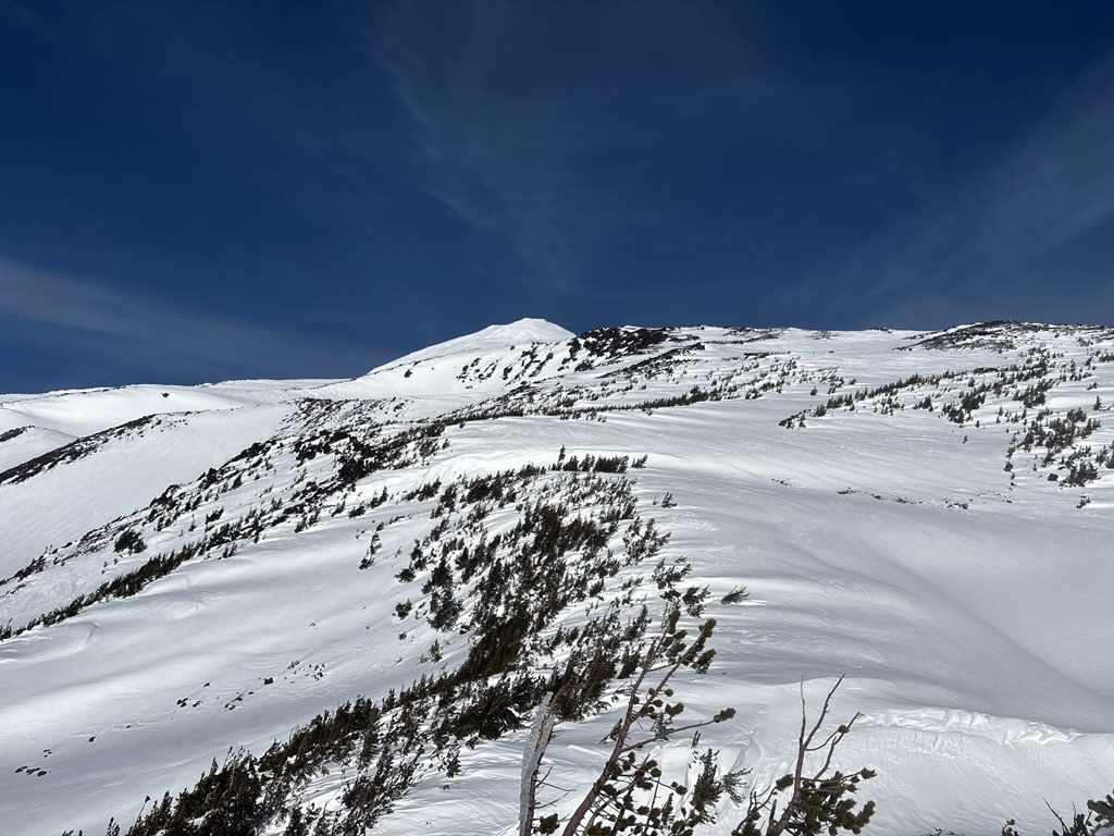
Recent east winds left their mark in alpine terrain, and the strengthening February sun left a thin, breakable sun crust on most sun-exposed slopes. Surface hoar would often cap this crust and exist in many open, wind-sheltered areas. The surface and upper snowpack above the 2/7 crust have become slightly weaker under recent high pressure and will be worth monitoring as new snow trickles in.
Weather
- Air Temp
- 30s
- Cloud Cover
- few
- Wind Loading
- none
- Recent Snowfall
- 20-30 cm of recent snow since 2/7
- Snow Avail For Transport
- small smounts
The day was mostly clear and comfortable with light winds above 6500 ft.
Snowpack
The upper snowpack is variable around Mt. Adams. East winds raked through upper elevations, leaving tons of wind-affected surfaces ranging from sastrugi, stiff unreactive drifts, or scoured crust on more windward slopes. The sun also left a thin, breakable crust on south aspects, which was often capped with surface hoar. Shadier, wind-sheltered gullies hled soft, cold surfaces and better riding conditions.
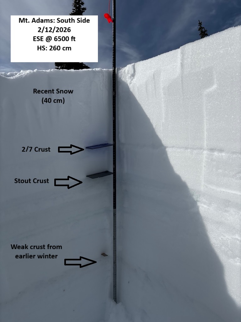
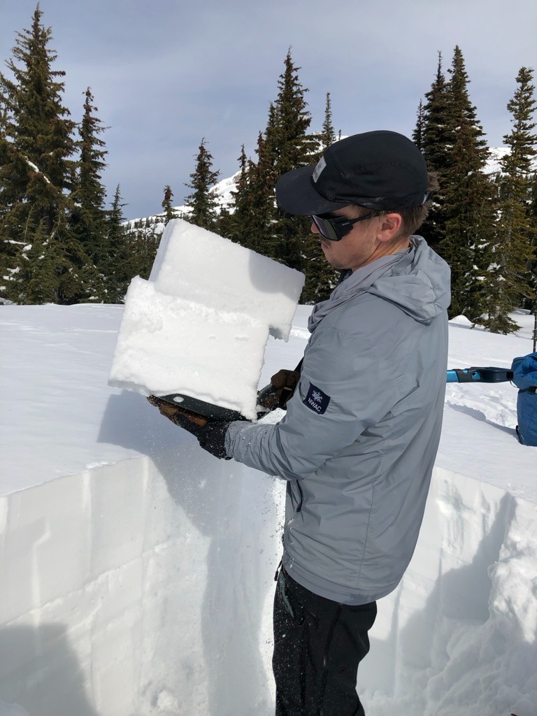
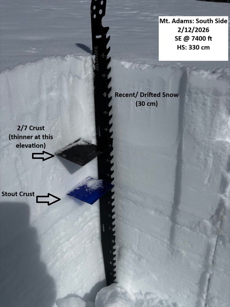
Below the surface, the upper snowpack is becoming slightly weaker with the recent high pressure and cool nights. Digging and probing around above 6000 ft, I typically found 25-40 cm of recent snow sitting over the 2/7. The 2/7 crust was roughly 2-3 cm thick and became thinner with elevation. I didn't get any snowpack tests to fail on this crust; however, a layer of DF's around 15 cm below the surface would often fail with shovel tilt tests, and CT's would produce RP results on low scores ( CT4, RP, 15 cm down). This layer wouldn't propagate with ECTs.
Below the 2/7, the January drought crust is thick. While the snowpack is generally strong below this layer, I did get one test result with a CT on a more brittle, weak crust around 80 cm below the surface (CTH, RP, 80 cm down). Check out the photo in the gallery for more info and a visual.
HS along the way:
4600 ft @ Morrison Creek CG: 40 cm
5500 ft @ South Climb TH: 90 cm, 18 cm over 2/7 crust
6500 ft on ESE aspect: 260 cm, 35 cm over 2/7.
7400 ft on SE aspect: 330 cm, 40 cm over 2/7 ( More wind affected).