
Weather
- Cloud Cover
- few
- Wind Loading
- previous
- Recent Snowfall
- 0
- Snow Avail For Transport
- none
A warm day with partly cloudy skies. At 6,800ft ridgetops, westerly winds were light.
Snowpack
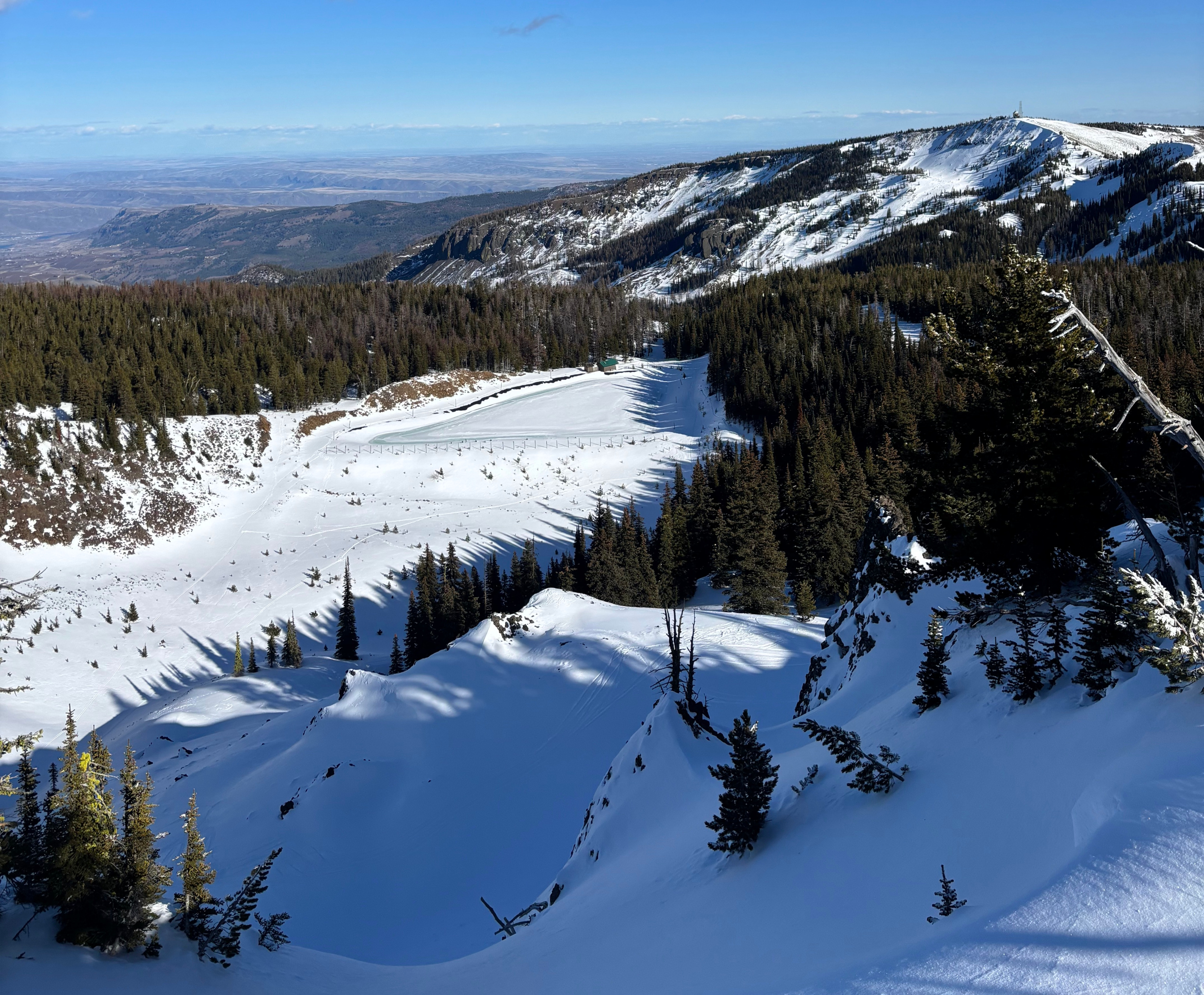
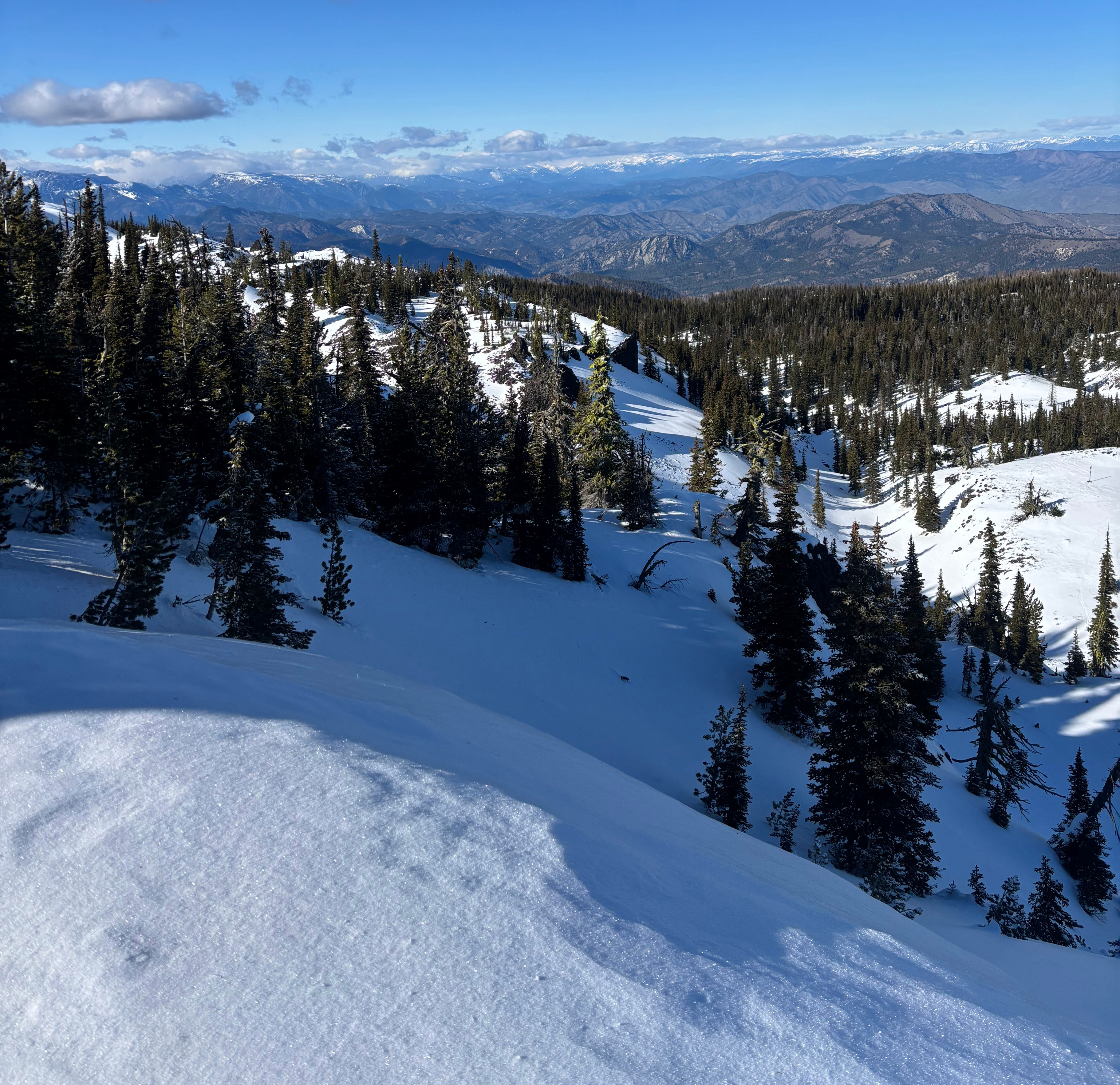
Coverage is thin, and there are significant bare areas at low elevation, on solar aspects, and on wind-scoured slopes at upper middle and upper elevations.
In terrain sheltered from wind and sun at 6,000-6,700ft the height of snow was 100-130cm.
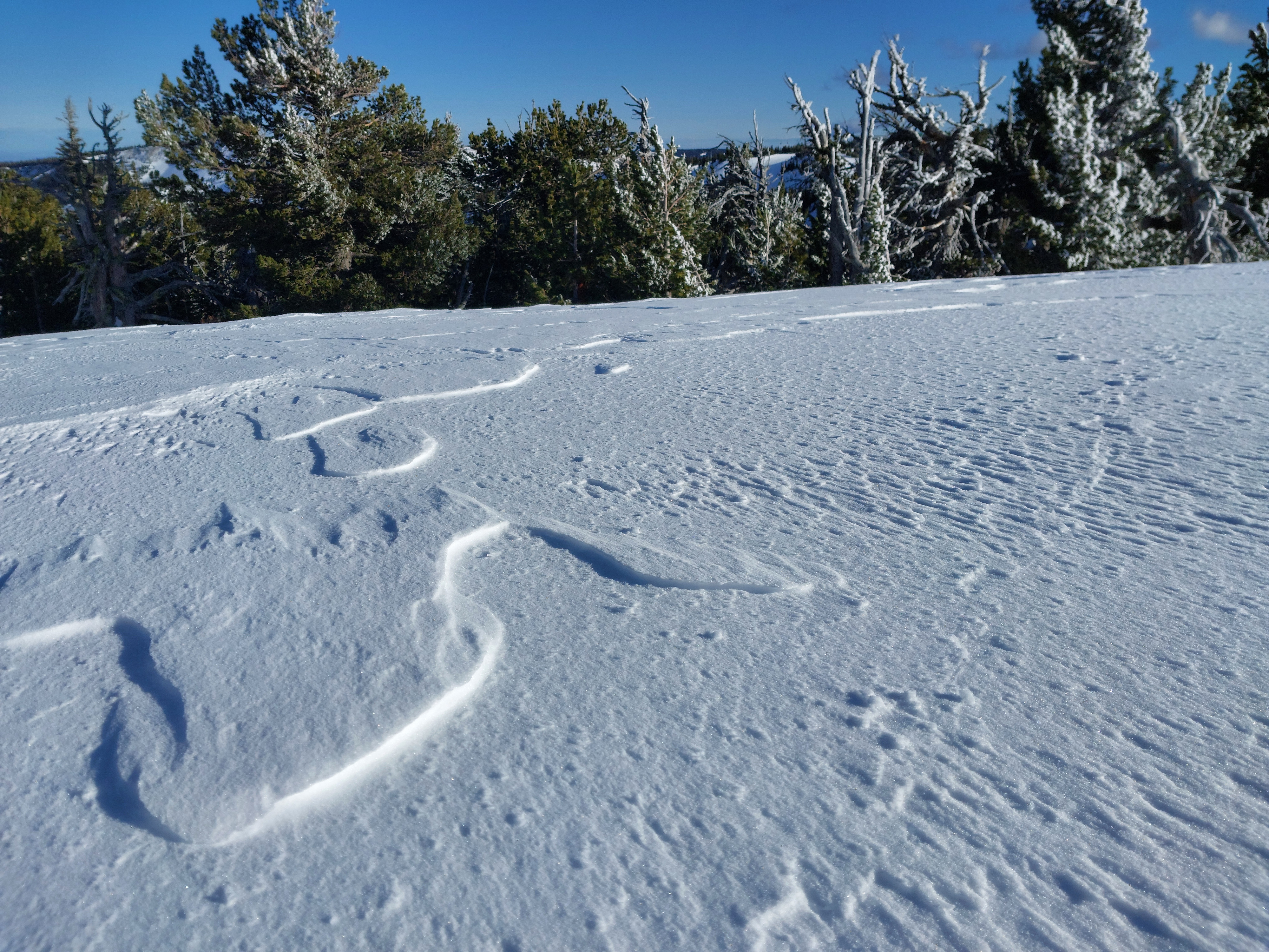
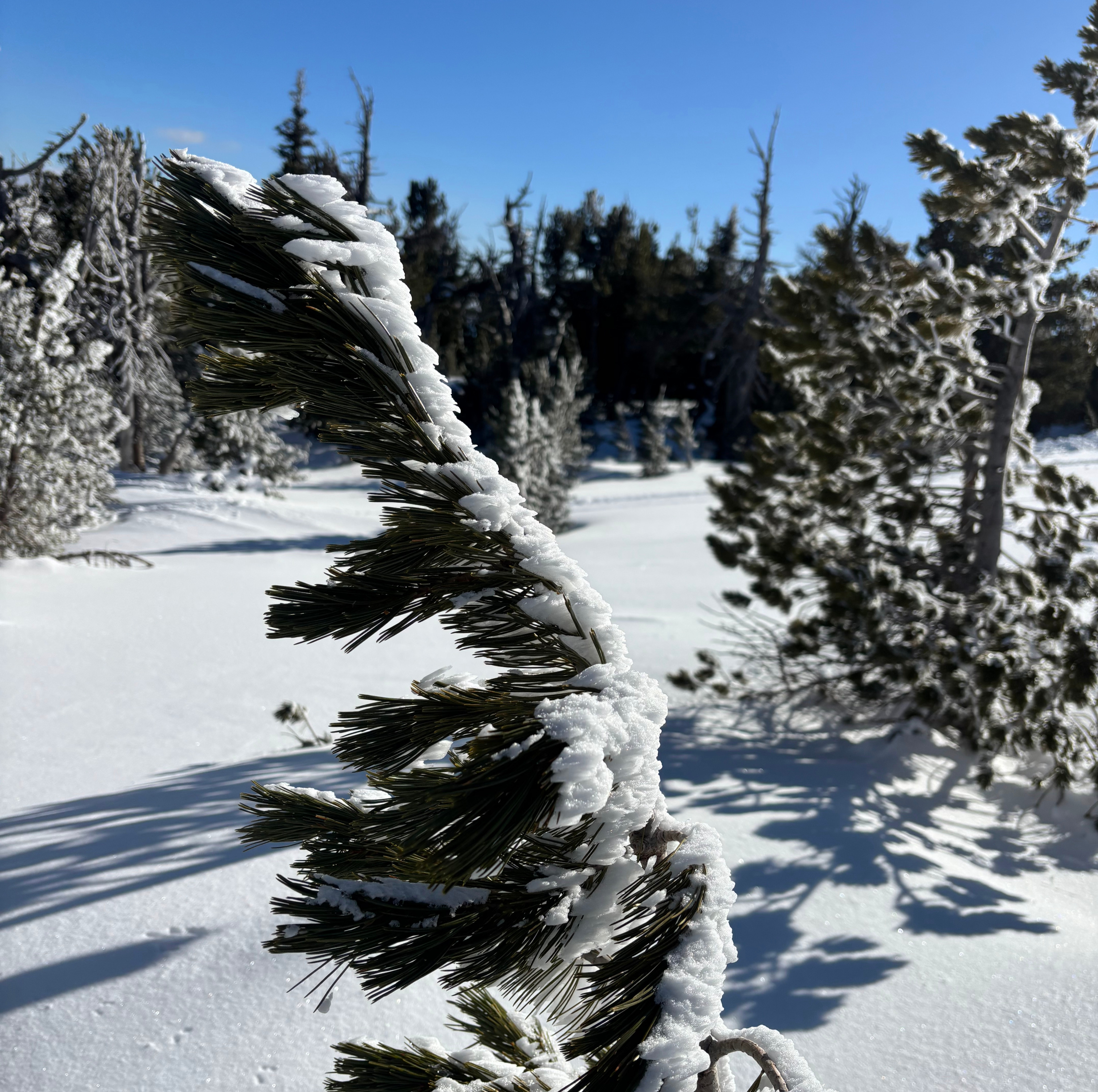
Snow surfaces have warmed in recent days. East and West aspects had a sun crust that was semi-supportive to skis. Shaded slopes remained soft with no crust and surfaces are faceted. Trees at 6,800ft ridgetop were covered in rime, which was melting where exposed to the sun. Also near ridgetop, surfaces had significant wind-texturing from westerly winds in the past 10 days.
A profile targeting a wind-loaded slope revealed that while the poor structure remains, weak layers in the upper snowpack are gaining strength. Without any new load, they are becoming stubborn and unreactive. I'd suspect that you may still be able to find propagating test results in areas that are shallower with less consistent wind loading.
Profile
Mission Peak, 6,800ft, E
HS 220cm, Boot Pen 5cm, wind-loaded
Tests indicated skier triggering is unlikely at this location
↓39cm: 2/17 rounding facets, CTH(RP)
↓44cm: 2/13 surface hoar, no test results
See graph