
Quick report
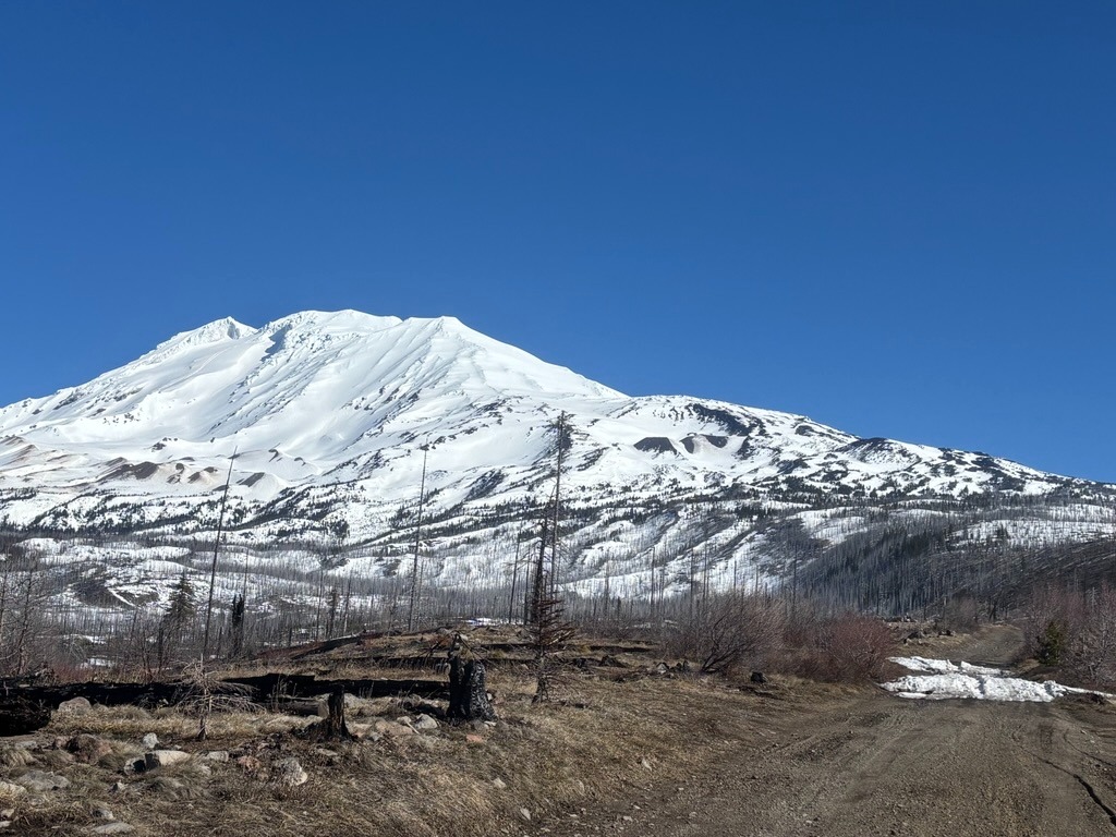
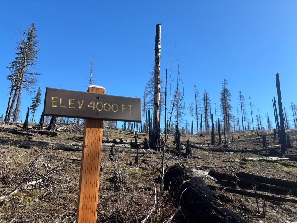
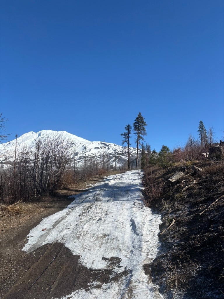
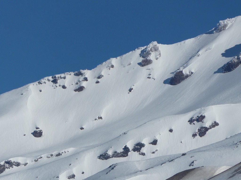
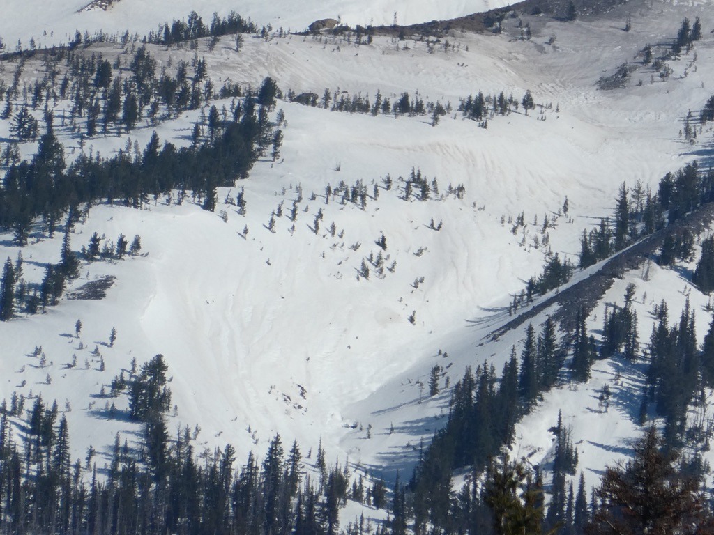
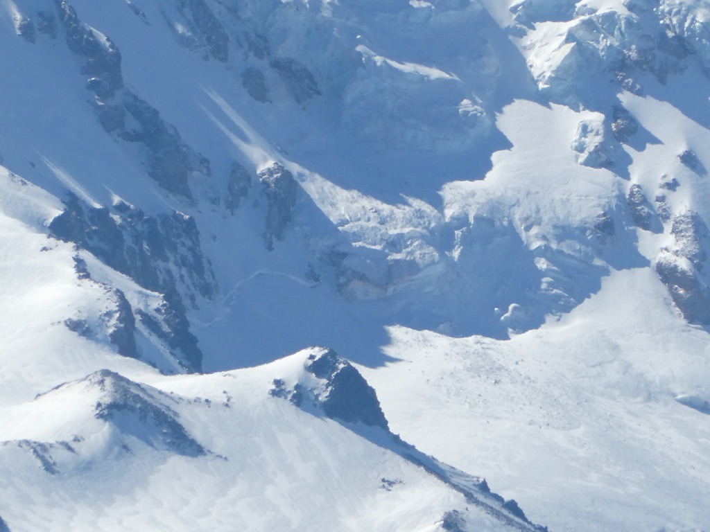
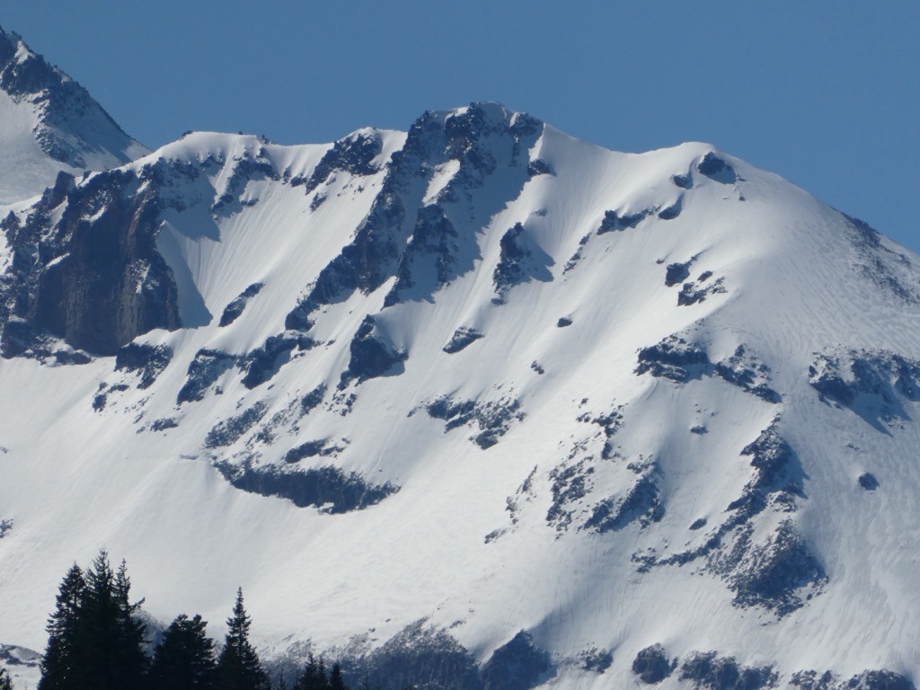
I went on a driving tour up to the south side of Mt. Adams and the north side of Hood to scout for access after an unusually warm and wet week. I was able to drive to 4400' before a deep patch turned me around on the Forest Service road that accesses the south climb trailhead on Adams. This patch was roughly 1 mile shy of the Morrison Creek campground. From afar, it appeared that consistent snow would be found around 5000 ft and above. While precip totals were likely on the lighter side around the Adams area, rain runnels still extended to roughly 9000 ft. The recent warm-up also left sagging cornices, a couple of small wet slab avalanches, and melted windward moraines and terrain features. The low-elevation snowpack is shrinking fast in this area.
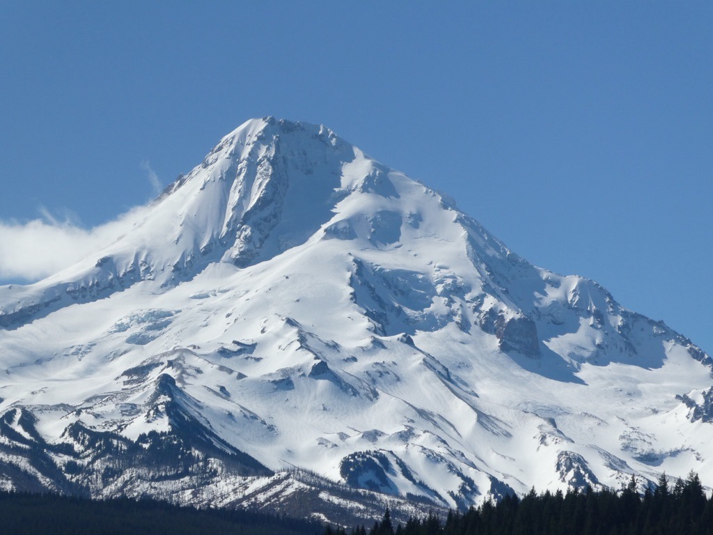
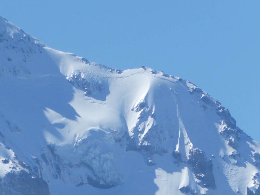
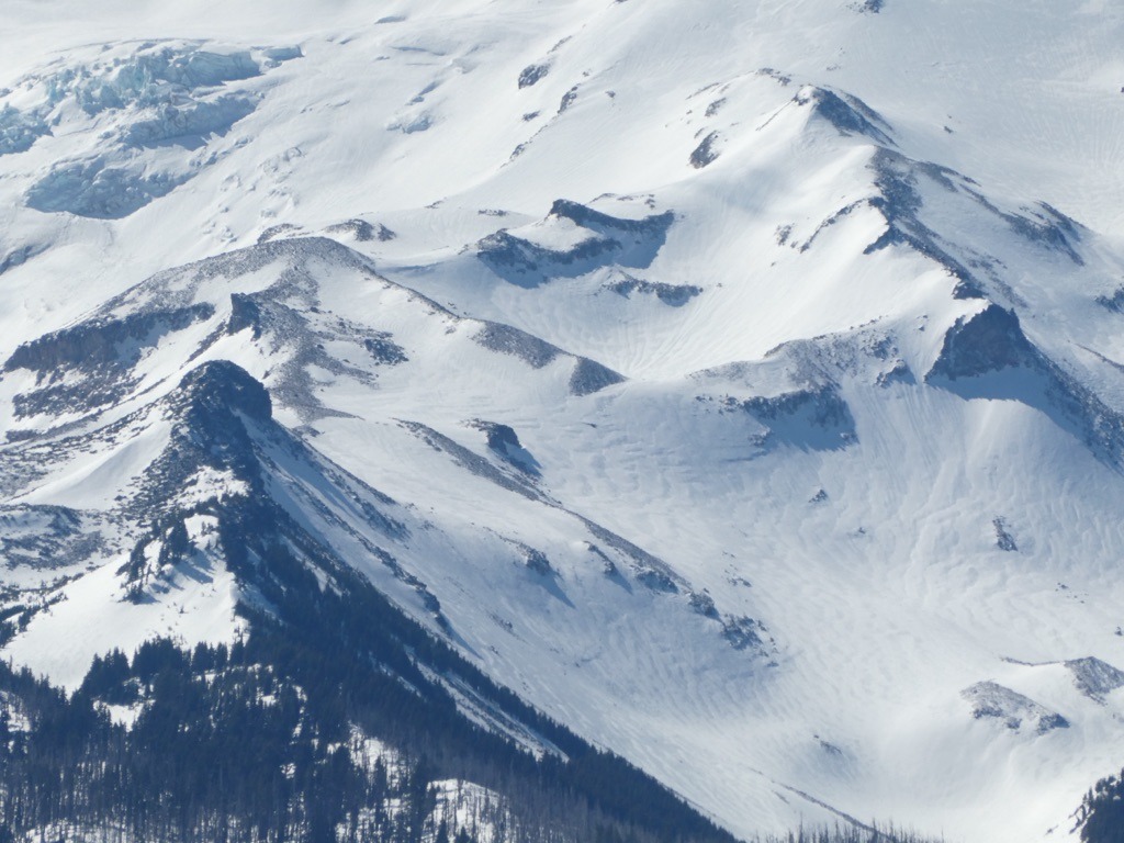
I didn't make it far on the north side of Hood due to timing, but a good overlook provided a snapshot of surface conditions and more evidence from last week's natural cycle. This side of the mountain looks wind-hammered, and there is some subtle evidence from high-elevation rain on 3/20. Rain runnels weren't as developed as further north on Adams, but they extended to the ridge of Barrett Spur around 7500 ft. There was plenty of previsoly drifted rippled snow, scoured crusts, and some dusted surfaces from recent high winds with last week's clear weather. Snow lines are likely sitting somewhere around 4,5000 ft on this side of the mountain.
Weather
- Air Temp
- 40s
- Cloud Cover
- few
- Wind Loading
- previous
- Recent Snowfall
- 0
- Snow Avail For Transport
- none
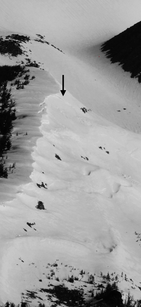
Avalanche
- Size
- D2.5 R2
- Type
- HS
- Count
- 2
- Aspect
- NE
- Trigger
- N
- Elevation
- 8400 ft