
Quick report
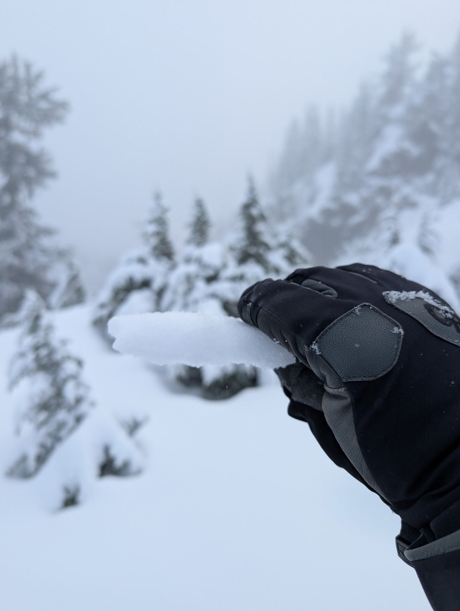
Snow coverage in Snoqualmie Pass has improved since last week, but reasonable backcountry access will still require substantially more snow at all elevations.
No signs of instability observed.Weather
- Air Temp
- 25
- Cloud Cover
- broken
- Wind Loading
- none
- Rain Elevation
- 3,500
- Recent Snowfall
- 2-3
- Snow Avail For Transport
- small smounts
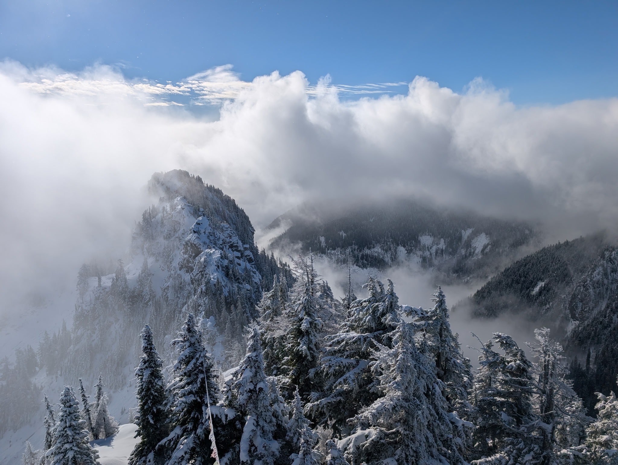
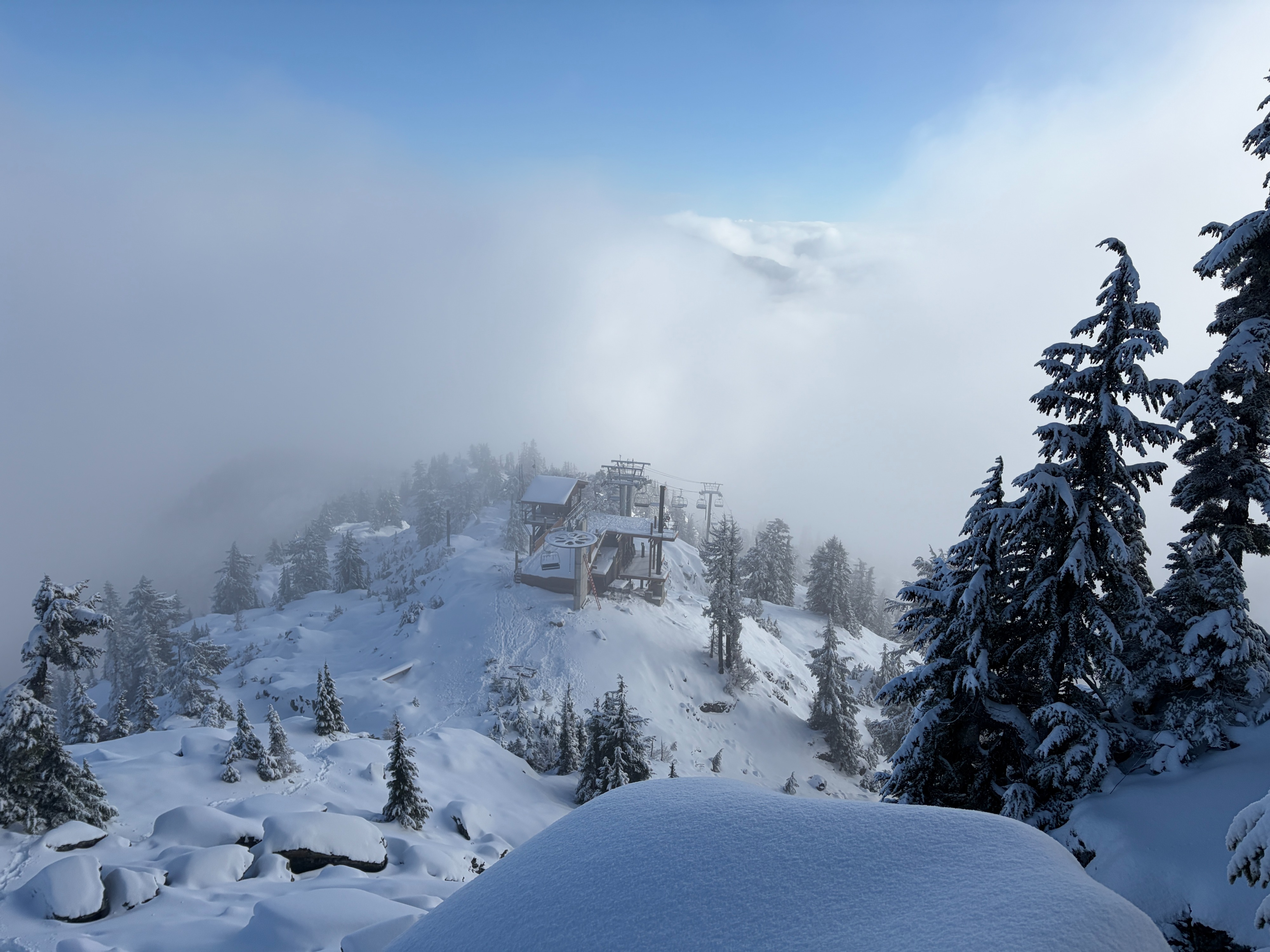
Upon arrival at Alpental, light snowfall continued at low elevations, with temperatures below freezing, and skies completely obscured. At 5,500 feet, skies were mostly cloudy, with occasional moments of clearing, and light snowfall. By the afternoon, low elevations had warmed, and snow turned to light rain. Wind remained light and westerly through the day.
Snowpack
Upper elevations hold 1.5–2 feet of snow. The snowpack is generally right-side up, capped by six inches of moderately dense surface snow. A punchable crust sits about six inches down. Mid-elevations have roughly 12 inches of snow, while low elevations only hold 3–4 inches.