
Quick report
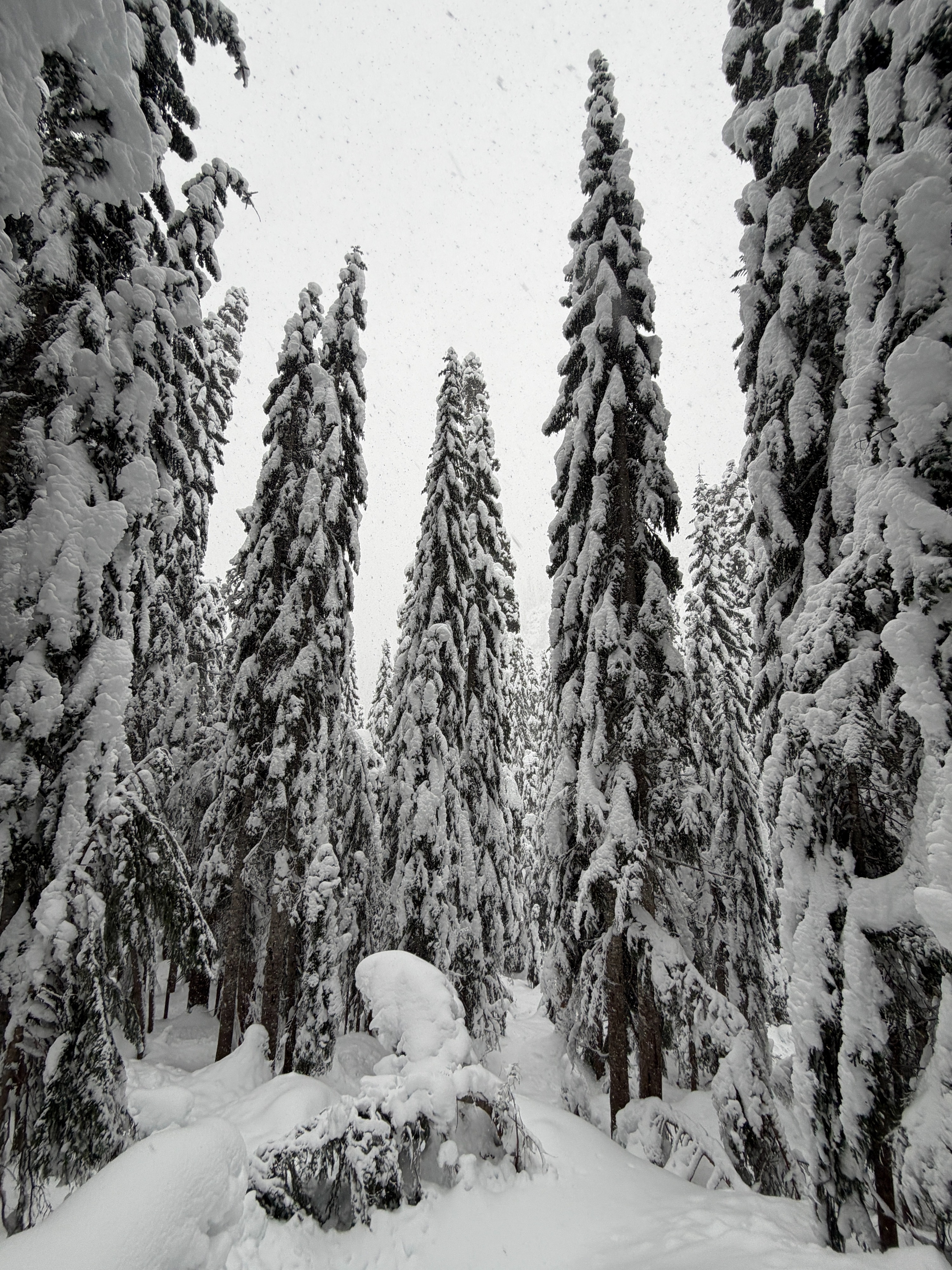
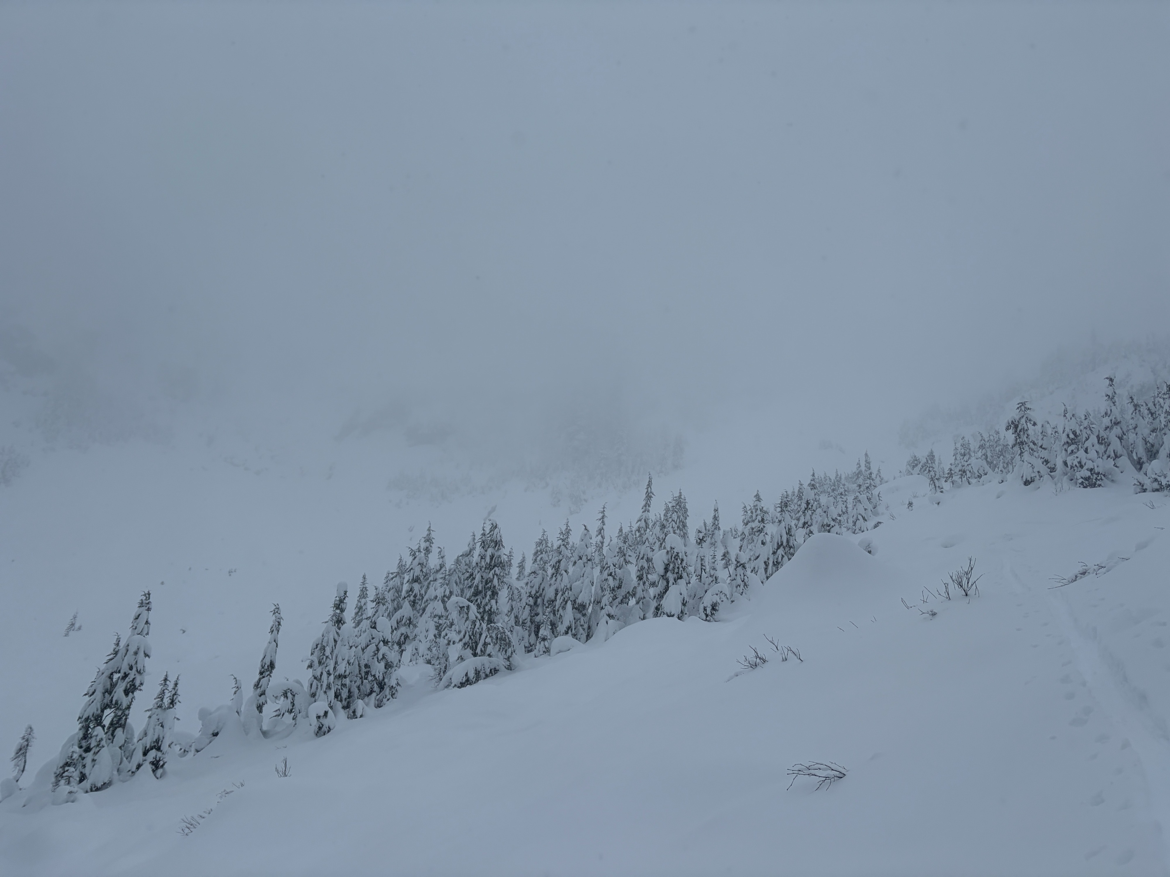
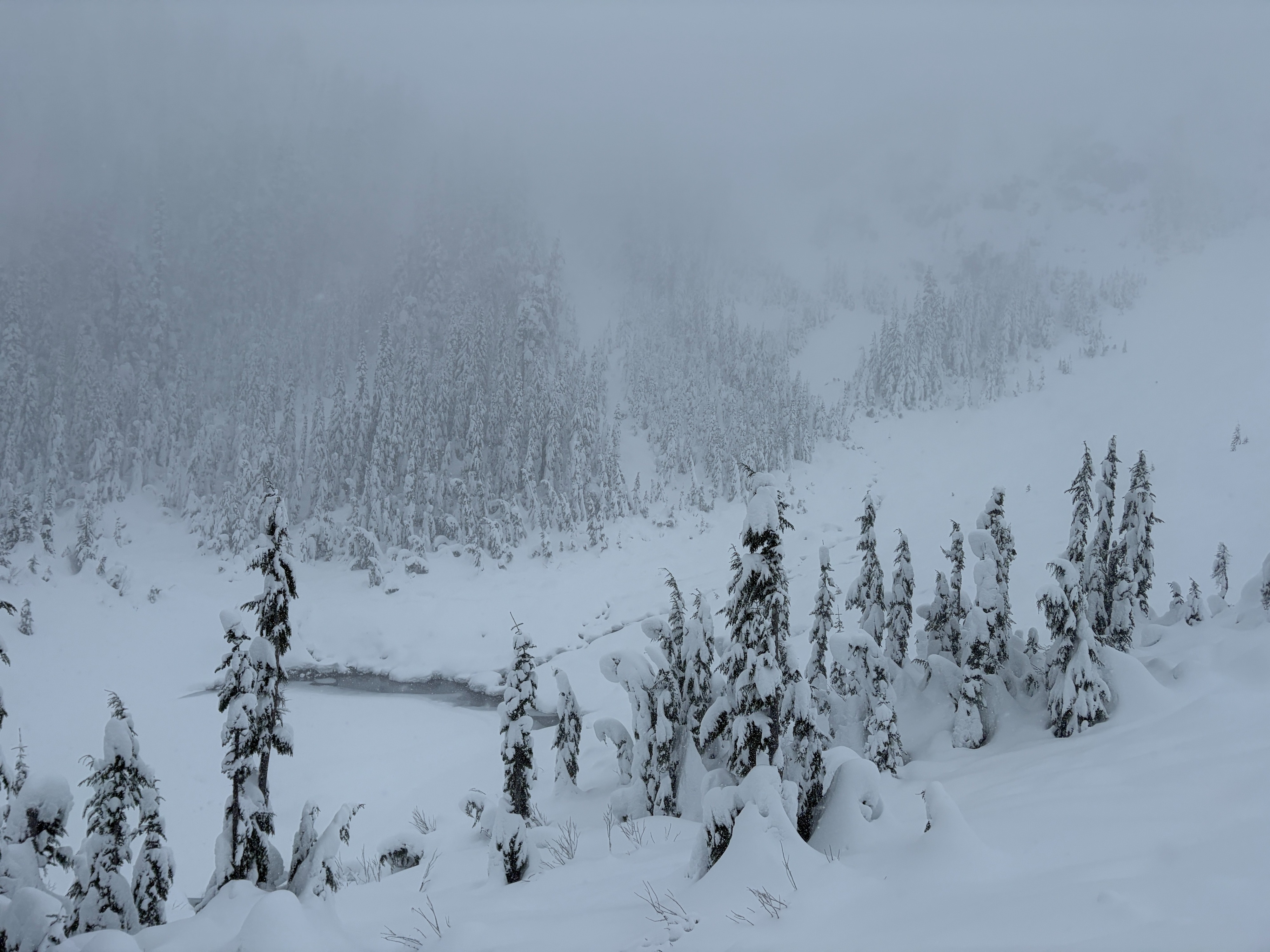
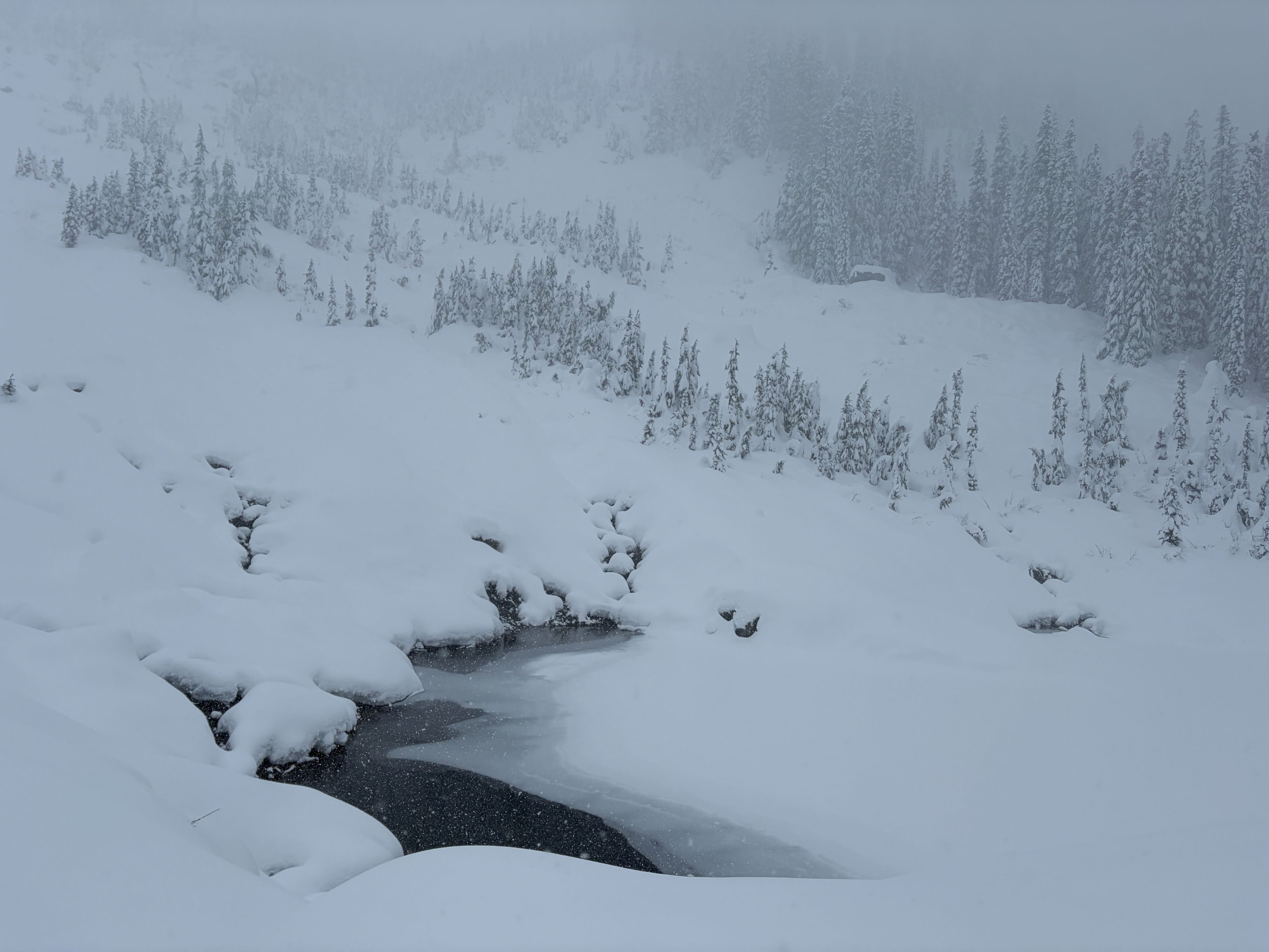
I took a walk into the Source Lake area to assess the timing of the current storm system and observe any new snowfall. Snowfall began on I-90 toward Snoqualmie Pass around 2,000 feet. About 1 inch of new snow had accumulated by the time I started my walk. By the time I reached Source Lake, an additional inch had fallen, with snowfall rates actively increasing. Valley bottoms were calm, but a light wind was noticeable in areas of clearing. I suspect mid and upper elevations were howling! Visibility was limited to approximately 1,000 feet or less.
At this stage of the storm, the new snow appears relatively low density. I did not observe signs of an “upside-down” structure, or denser snow overlying lighter snow. Though this may change later in the day.
Snow depths ranged from 12-18" near the parking lot, to over 40" around Source Lake. The January 3rd layer remains easily identifiable beneath 10+ inches of well-consolidated, 4-finger hard snow, as well as the new storm snow currently accumulating. Stability tests showed little to no reactivity on this layer.
No signs of instability were observed.Weather
- Air Temp
- 30-28
- Cloud Cover
- obscured
- Wind Loading
- light
- Rain Elevation
- 2,000
- Recent Snowfall
- 3-6
- Snow Avail For Transport
- moderate amounts
Storm day in the Alpental Valley. Visibility was very limited, with snowfall rates increasing through the morning. Temperatures stayed below freezing, though slightly warmer temperatures could be felt upon returning to the parking lot. Wind was largely unnoticeable in the valley, turning light above Source Lake.