
Quick report
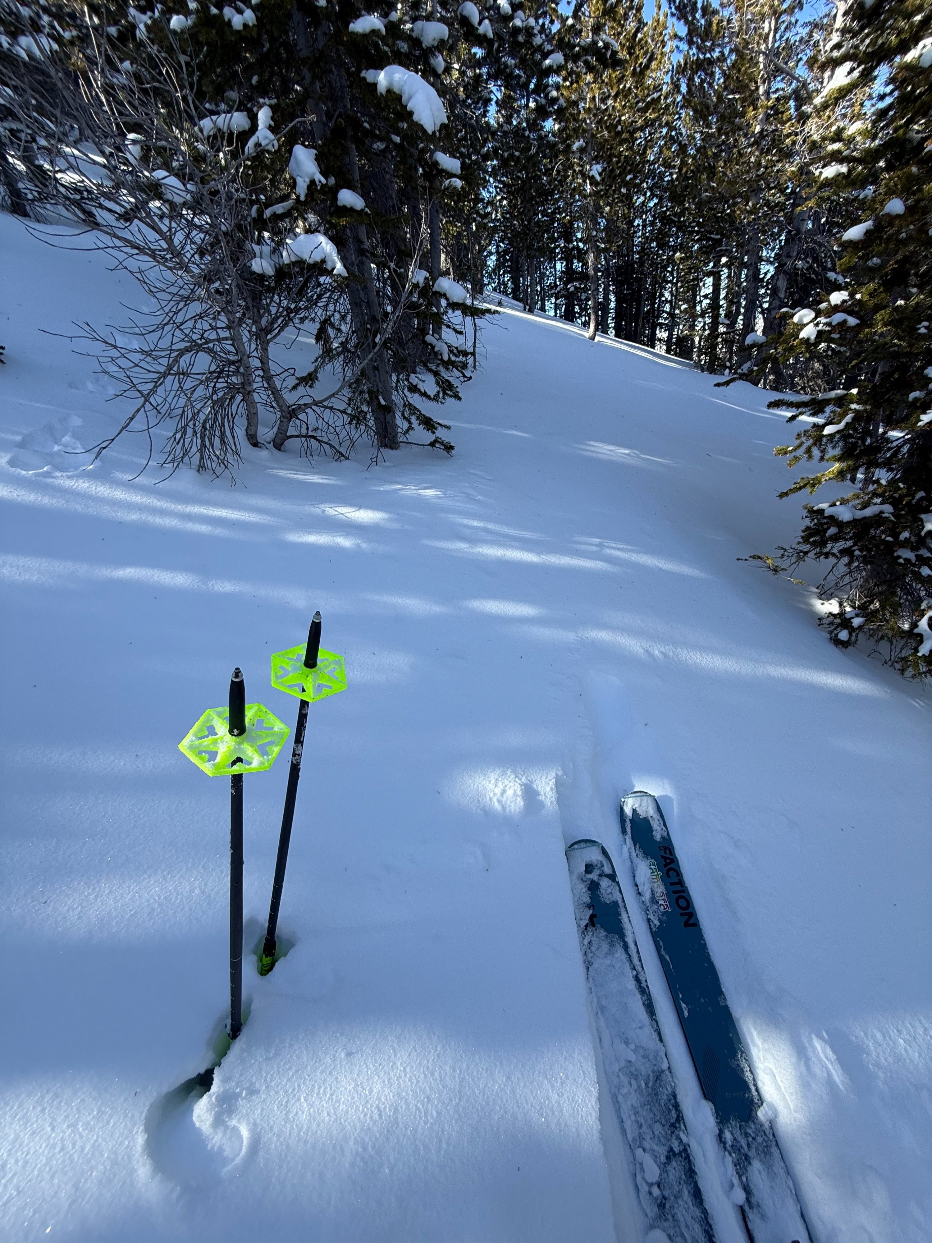
The transition to winter has been slow, especially south of Galena Summit. A couple of storms in late October and early November brought accumulating snow to higher elevations. None of these storms were particularly strong, however the atmospheric river event that happened in late October is responsible for any skiable snow I was able to find in my recent travels. The clear and warm weather between storms seems to have melted off any snow that face the sun and in low elevation terrain. Slopes above 8500' that face N have held onto the older snow, and the small amount of snow that did fall recently has created the first identifiable layers of the snowpack. I did not perform any tests, but I am eager to see how these layers behave as our slow start continues. From 8500'-10,000' in shaded N facing terrain snow depths ranged from 12"-20" and varies greatly. Weak snow is forming, and facets make up the base of the snowpack. At 10,000' + in windy, alpine terrain I observed wind slabs forming on top of the older, weaker snow. I am sure this is the most common setup and avalanche hazard to be aware of across the range since our snow pack is so shallow. These slabs were non-reactive were I was, which likely was because of the week of warm weather. Hitting rocks and buried logs, etc. is by far the biggest hazard I found and skied very cautiously.