
Quick report
1. Multiple ski cuts made on smaller NW-NE aspects near ridgelines between 6,800-8,000 yielded little if any reactivity. A cornice drop onto a windloaded lee NE aspect at 8,000ft (~40 degrees) was also non-reactive. 2. The rain crust extended to 6,800ft at this location. However, likely due to the fresh ~3 inches of new snow, the skiing below 6,800 ft down to 4,000 was manageable, well filled in, and simply felt like wet heavy snow. 3. S-SW slopes that were exposed and/or above ridgeline were wind-scoured and/or had a mix of a melt-freeze crust or sun crust. This was probably the most hazardous finding in the alpine simply because skiing would go from nice with dry snow to a slick crust, and thus conservative skiing on these slopes was warranted. 4. Skiing on all aspects below ridgeline between ~8,200-6,800 skied well (as long as they were protected from the wind). These aspects were all well filled in. NW-NE facing terrain skied particularly well. 5. S-SW-W aspects above ~8,000ft were very wind-scoured leaving ground level rocks still exposed. This posed another hazard, particularly in steeper terrain. No gross instabilities noted throughout travel.
Weather
- Cloud Cover
- few
- Recent Snowfall
- 9-13cm
- Snow Avail For Transport
- small smounts
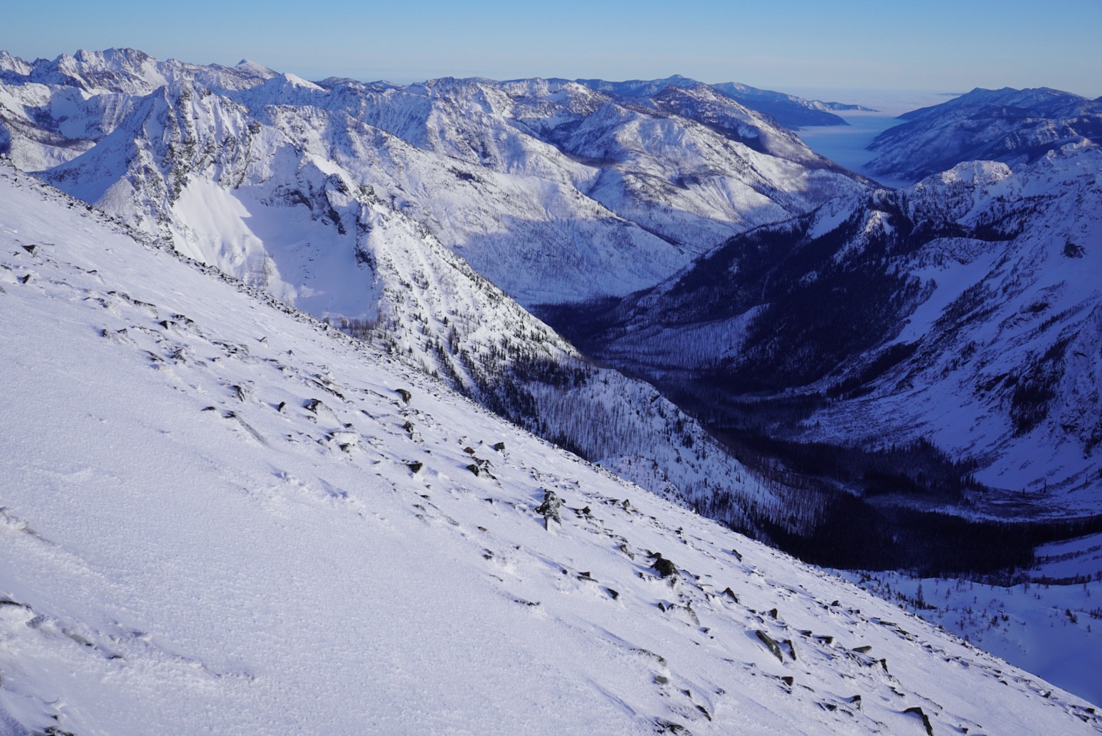
1. Strong winds from the SW above 8,000 ft. Areas below ridgeline were calm. Although the winds were strong, there was little evidence snow transport or visible plumes at higher elevations Wednesday and Thursday. I'm assuming the little new snow that was available had already been mobilized. 2. The top of the inversion layer in the valleys was about 3,500ft on return this afternoon.
Snowpack
Daylight at a minimum, and lots of ground to cover. No formal assessments or profiles conducted.
Avalanche
All avalanches noted were loose-wet in nature and presumably from last weekend. These origination points extended up to 7,500 feet.