
Quick report
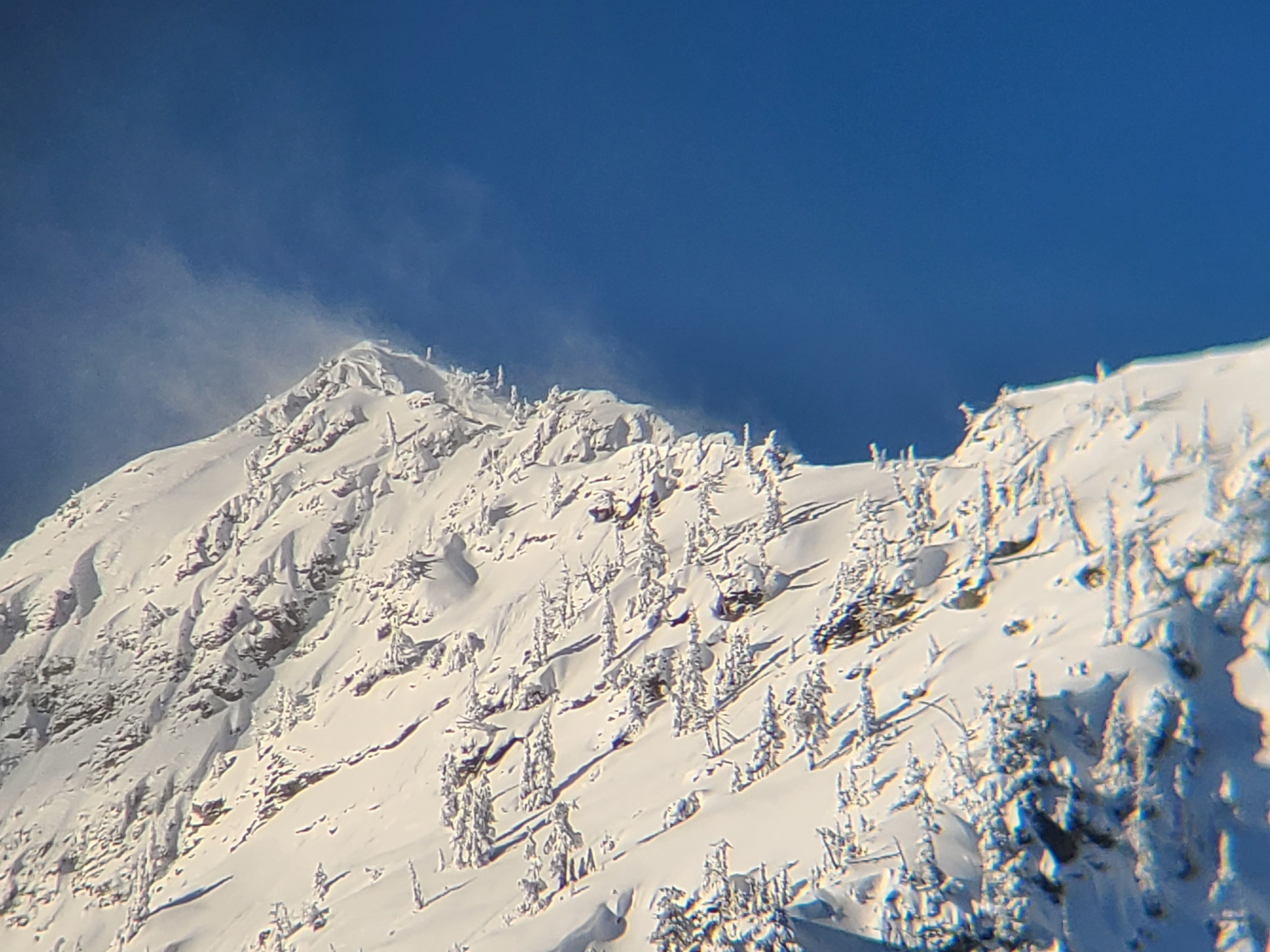
It was a beautiful day in the mountains to tour on lower-angle terrain and get a chance to look at the recent storm snow and the reactivity of the new snowpack interfaces. We saw evidence of a natural avalanche cycle that occurred during and shortly after the storm from 1/5-1/6. One notable avalanche propagated across terrain features at the base of cliffs at upper elevations. At mid and upper elevations, we found weak snow layers that produced unstable results in formal and informal snowpack tests.
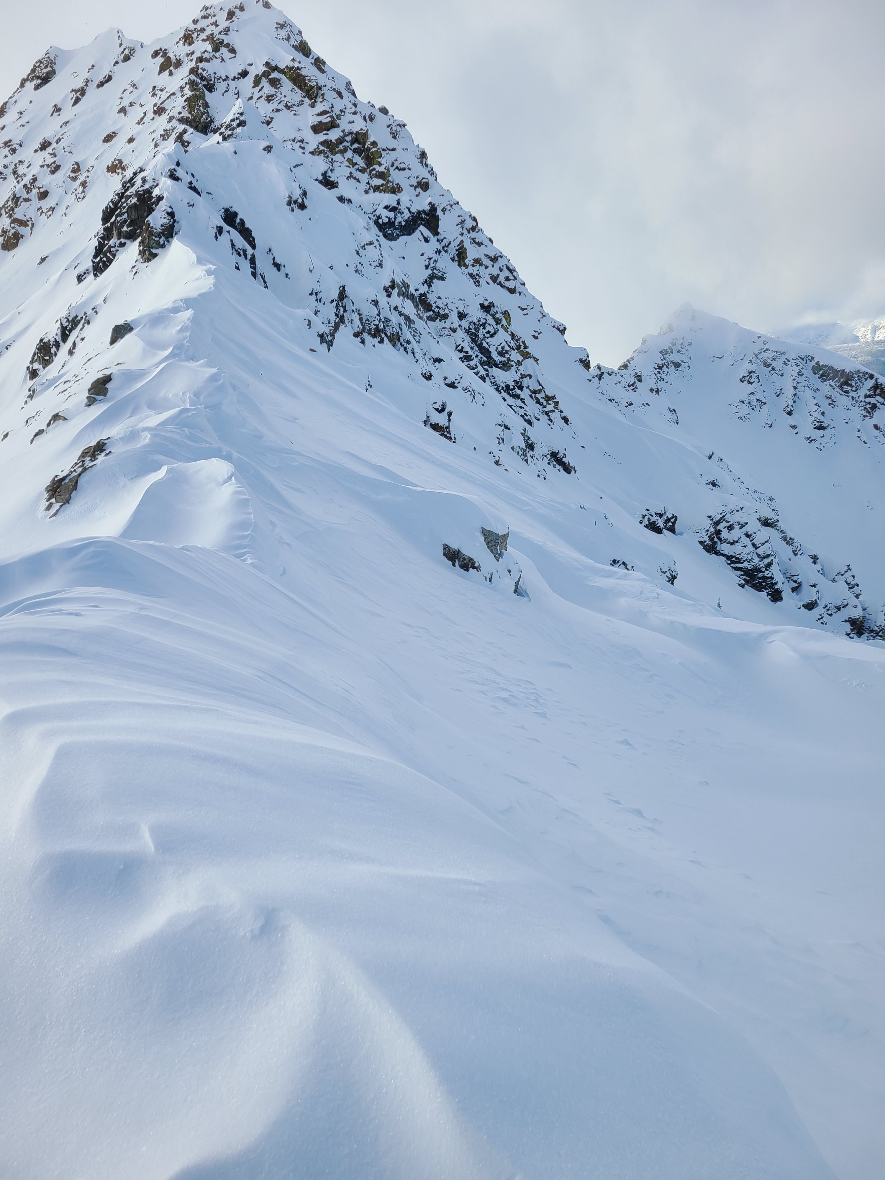
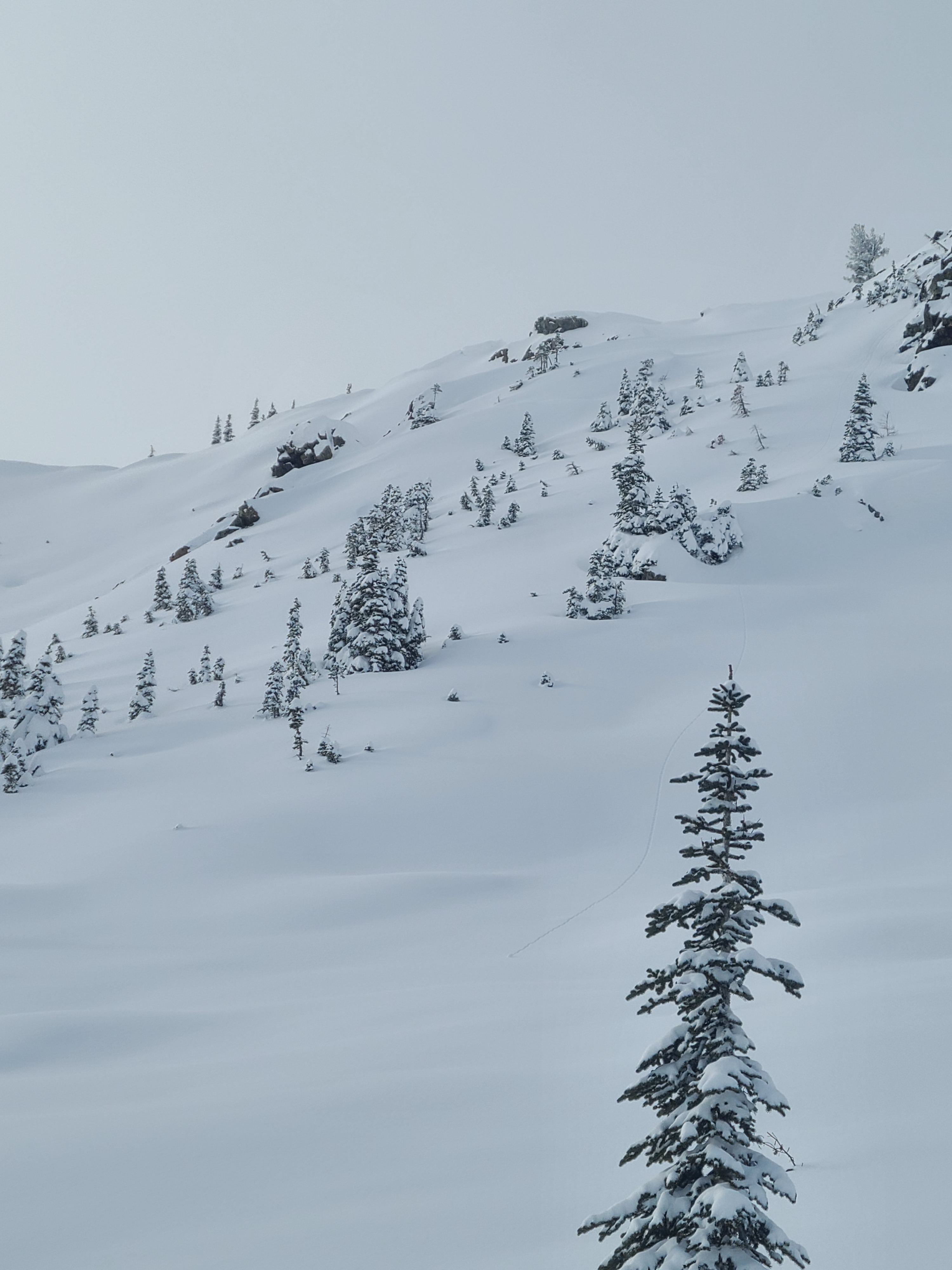
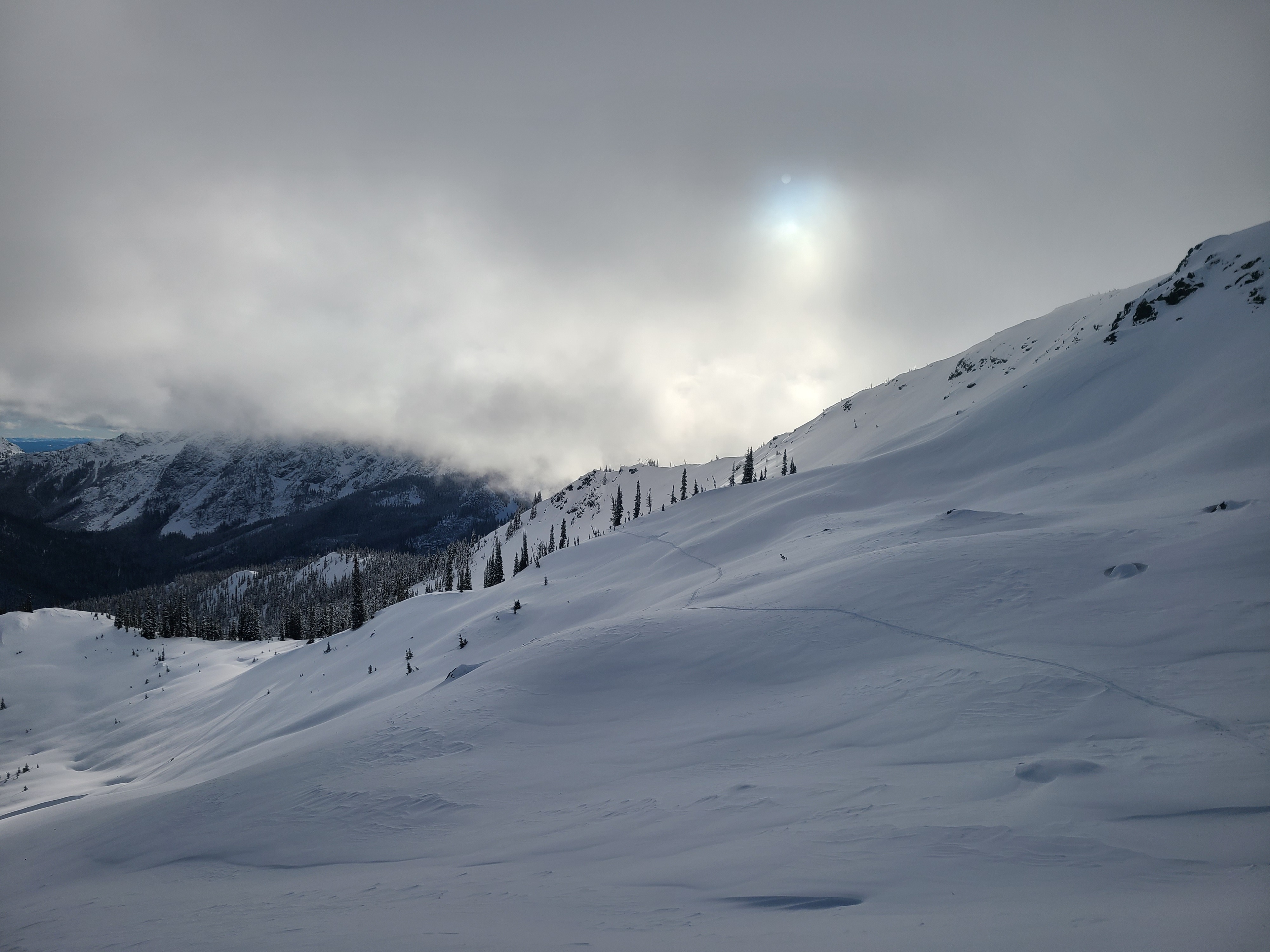
Winds had drifted the snow around, wind texturing was widespread, and ridgelines held interesting cornice formations. But, thankfully, even in open terrain, on lower-angle slopes, we could find great skiing on soft snow without a surface of stiff wind-drifted snow. The sun had cooked the southern aspects and a thin breakable crust had formed by the time we descended around 3:00pm.
Weather
- Cloud Cover
- few
- Wind Loading
- moderate
- Recent Snowfall
- 40cm
- Snow Avail For Transport
- moderate amounts
It was a beautiful day in the mountains with sunny skies and seasonably cold temperatures. In the morning, moderate ridgeline winds were actively drifting snow but decreased to light and variable by the afternoon. Clouds built occasionally in the afternoon but would drift by quickly, leaving us with good visibility.
Snowpack
We traveled on primarily southern and eastern aspects from 2800ft-6600ft.
New snow totals from 2300 to 6600ft ranged from 20-50cm. This snow fell on melt-freeze crusts at lower elevations from the recent warm temperatures. On a steep southern aspect in a forested area between 4500-4800ft, we were surprised to find that the new snow had fallen on nearly bare ground, which led to some travel hazards to negotiate on the descent.
From 5000-6000ft. We measured snow heights between 130-140cm. The upper snowpack was 40cm of recent snow over a weak layer of faceted grains on a stout melt-freeze crust. Hand shears failed easily on this interface.
We dug a snow profile at 6400ft on an east aspect. The snow height was 155cm, and the upper snowpack consisted of 40cm of recent snow over four closely buried surface hoar layers. The surface hoar layers produced propagating test results (ECTP17, SP), failing simultaneously on the two lower surface hoar layers (↓52, 55cm). Below these weak layers are rounded grains down to the solstice crust complex, a mix of knife-hard melt-freeze crusts with weak snow in between. In this location, the Solstice Crust produced no stability test results.
By the afternoon, sun-exposed slopes already had a new melt-freeze crust on the surface, but we saw no signs of rollerballs or wet loose avalanches.
Avalanche
- Size
- D2 R3
- Type
- SS
- Aspect
- SE
- Trigger
- N
- Elevation
- 6700 ft
One wind slab (D2) that likely ran during peak precipitation and wind on the 1/5 or 1/6. This propagated around terrain features at the base of the cliffs. A more recent wind slab (D1) released from the ridgeline likely within the last 24 hours.