
Quick report
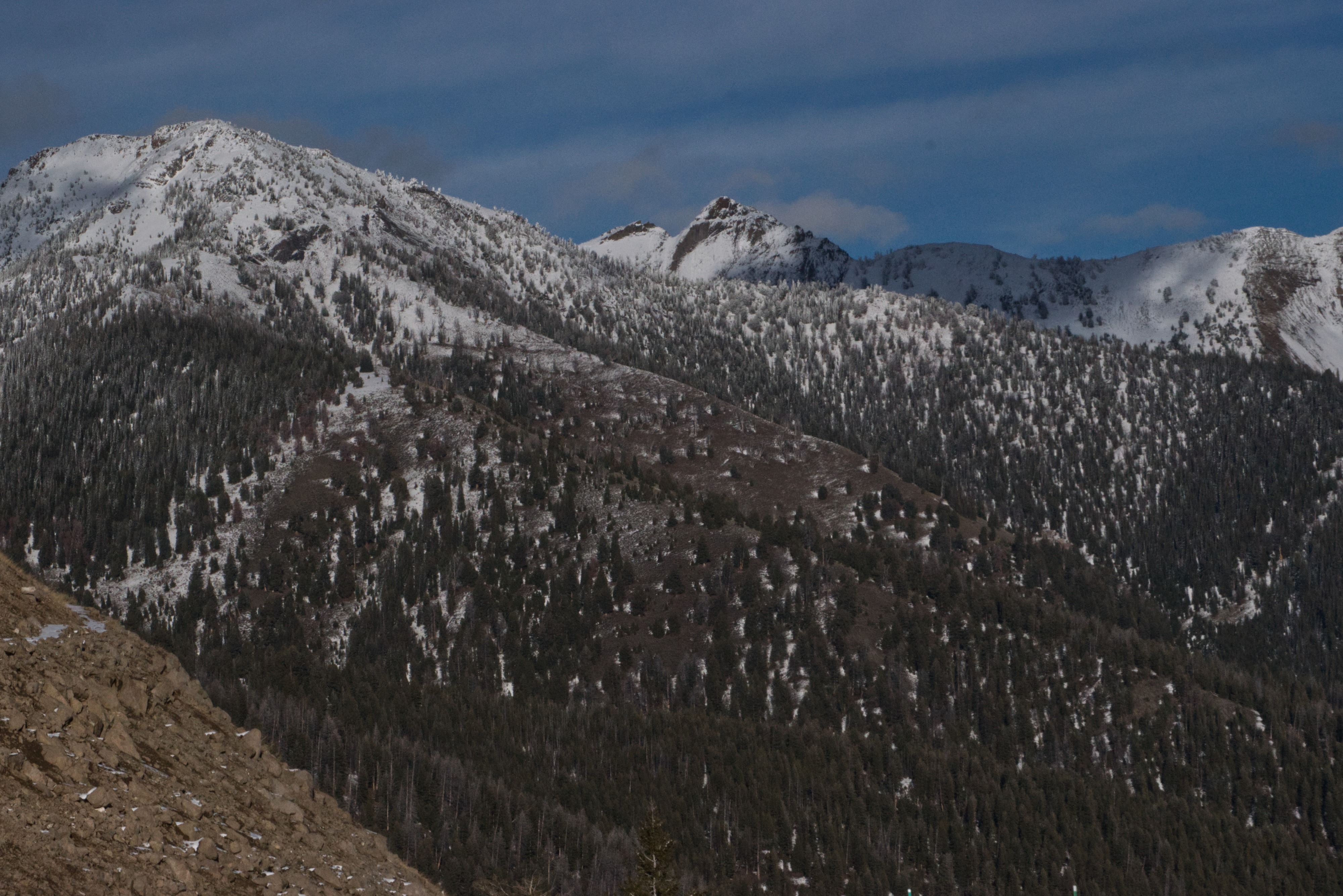
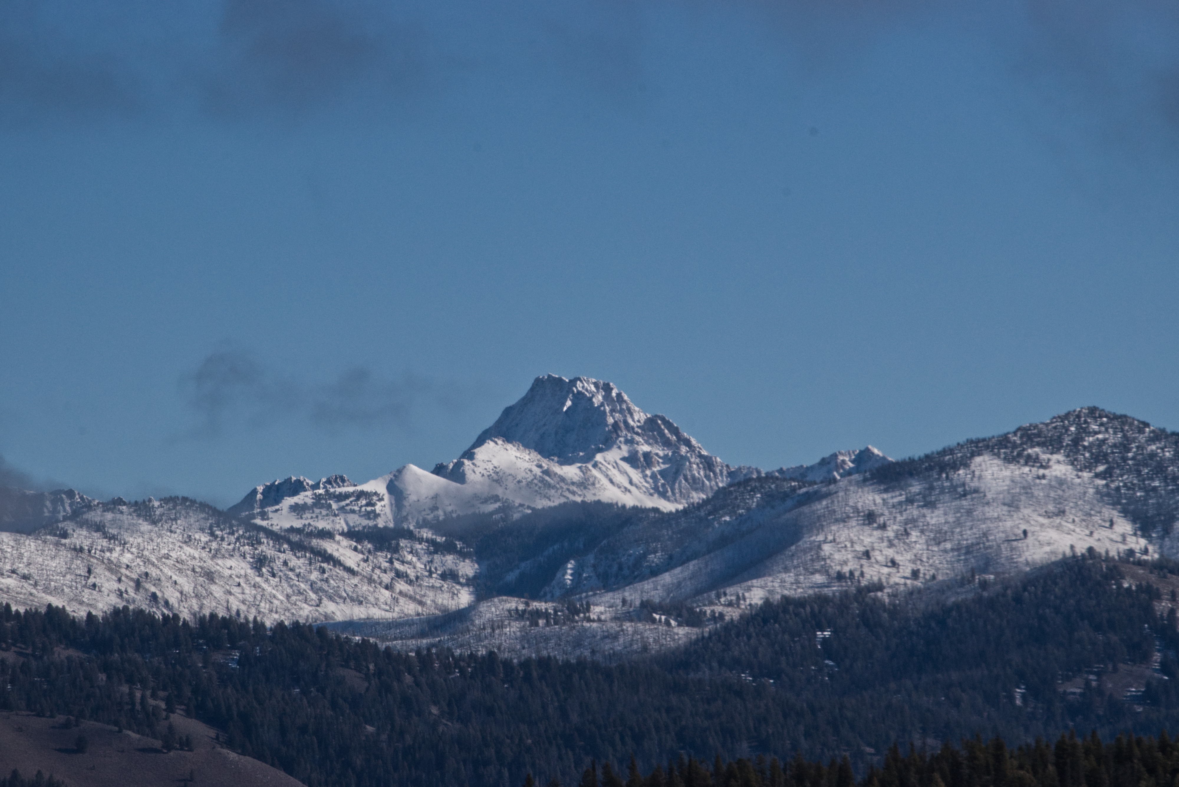
During travel over Galena Pass, new snow was observed down to the valley floor in Ketchum. The southern Boulder Mountains (Glassford to Otto Peak) appeared heavily loaded from the recent storm. Rain-line impacts were evident up to approximately 8,100 ft, assessed by stopping at multiple pullouts and manually checking for crust development. Through Galena Pass (8,400 ft), storm totals measured 4–5 inches of new snow. Continuing north into the Sawtooth Valley, new snow rapidly tapered to a trace by the "Spring Bowl" area. On the return drive, overall snow coverage across most aspects appeared haggard for coverage, with the exception of upper-elevation north-facing slopes, which held more consistent snow. In the Sawtooths, only a trace of new snow was noted. Surfaces remained mostly dry until approaching Bench Hut, where patchy, previously deposited snow measured 6–8 inches in depth. Low stratus cloud cover persisted over the Sawtooths for much of the day, limiting visibility and preventing comprehensive assessment of surrounding terrain.
Weather
- Cloud Cover
- overcast
- Recent Snowfall
- Trace (Sawtooths)
Avalanche
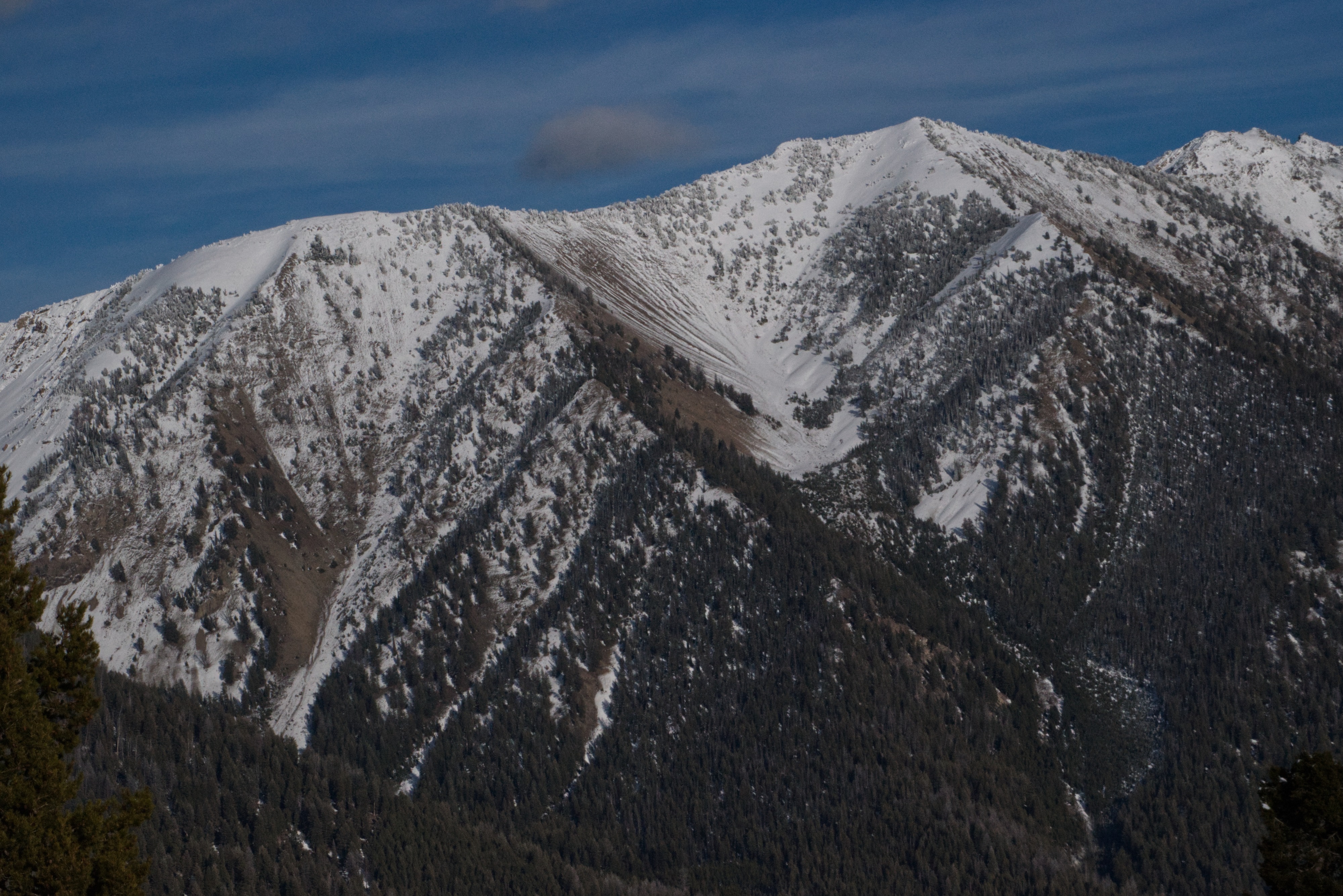
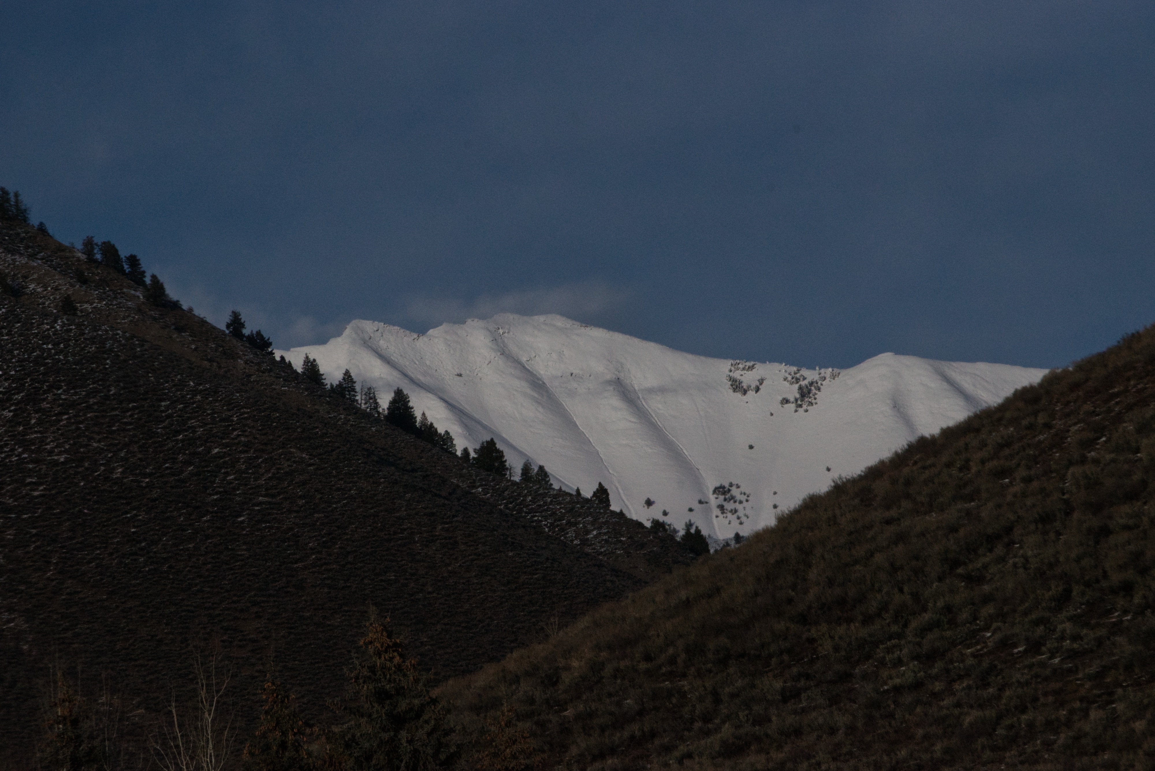
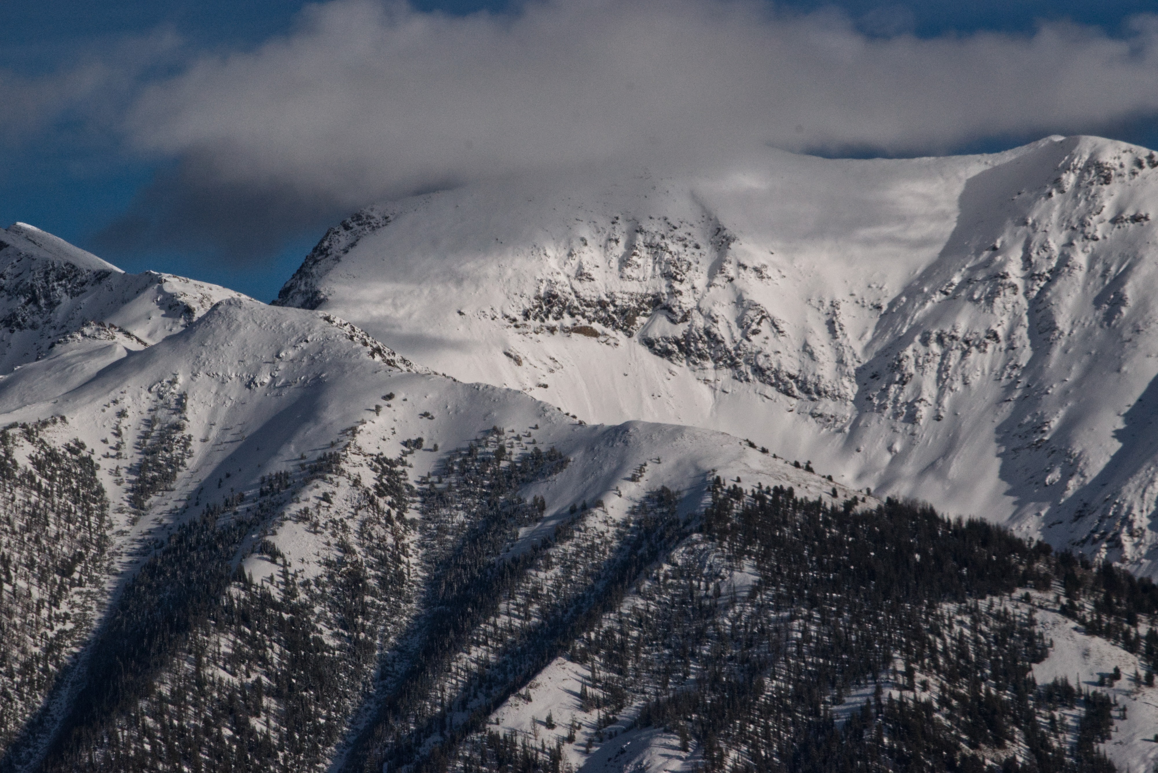
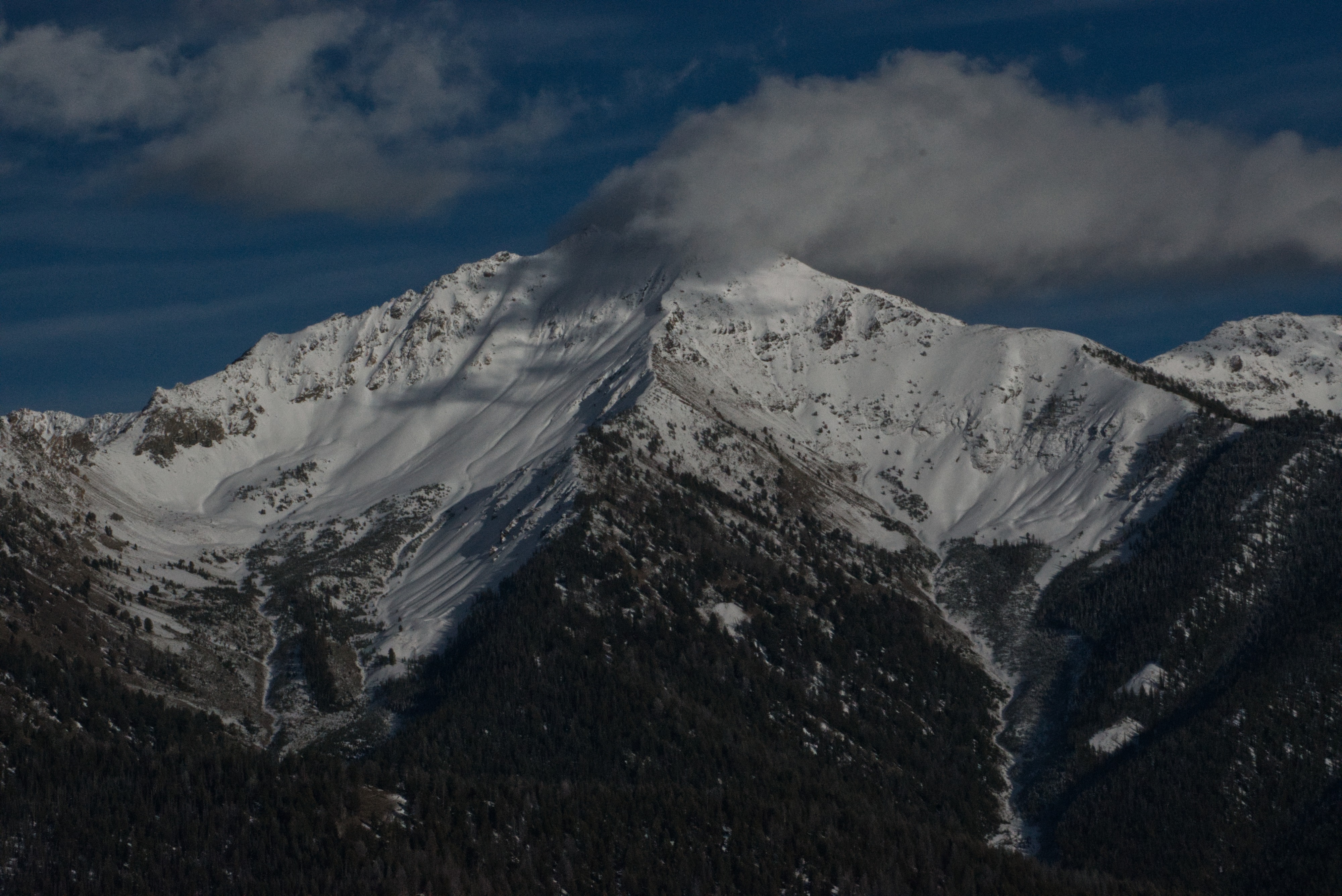
While driving home, I observed a small amount of recent loose snow activity in the Boulder Mountains from Cerro Ciento south to Lorenzo Peak. All observed avalanches appeared to be D1, though given the steepness of the terrain, some may have approached D2. The most notable activity was located around 10,400 ft on west-facing slopes off Cerro Ciento (see attached photo). Although no on-the-ground verification was done, it is likely that a stout rain or melt-freeze crust provided a fast, slick bed surface for the new snow to run on in steep terrain. Many of the loose avalanches originated near rock bands that received afternoon solar input, which likely acted as trigger points.