
Quick report
Frigid day. At 3000ft the air temp was -17°C and the snow surface was -20°C. We didn't linger anywhere for more than a few minutes during the outing.
Cold dry snow everywhere lasting for more than a day- unusual for the Washington west side.
We found generally stable conditions at lower elevations, where the snowpack mostly consisted of snow accumulated since New Year's and didn't have concerning weak layers.
Weather
- Air Temp
- 1°
- Recent Snowfall
- 30
- Snow Avail For Transport
- large amounts
Cold and calm. We saw small amounts of flagging at the ridgeline at about 5500'.
Snowpack
At 3000ft we found a snowpack that was basically brand new since New Year's. Two notable layers stood out from the otherwise progressively harder snowpack: a graupel layer around a foot down, which fell at the start of the long yet intense burst of snowfall that occurred midday Thursday through early Friday (yesterday). A variable rain crust layer was present about another foot down. The snow beneath that layer was highly wind-affected.
We didn't get propagating results in an extended column test, and a tilt test only found a break at the graupel layer.
Snow cover even above where we made it to at 3000' is mainly irregular, with obvious bumps and features that are still relatively shallowly buried beneath the snow.
Avalanche
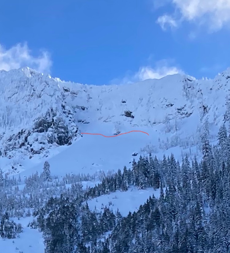
Old avalanche crowns were just barely visible, mainly 4000-5500ft ridgeline elevations. They likely occurred last Saturday.