
Quick report
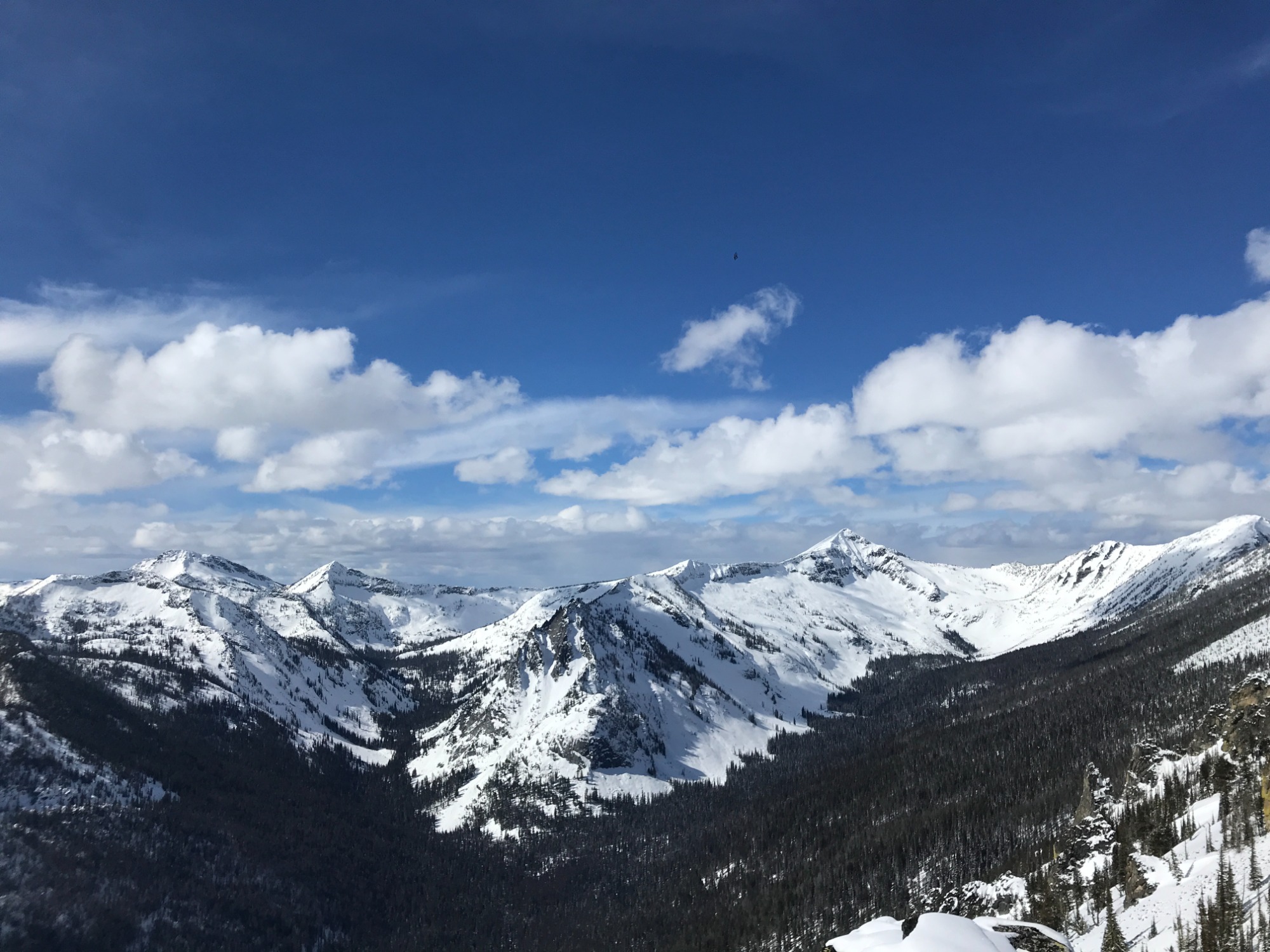
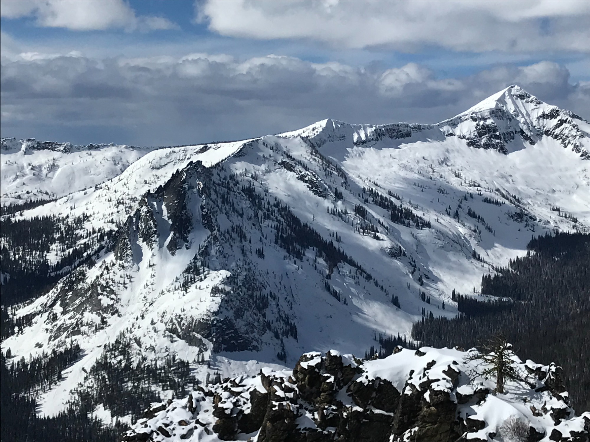
Observed very good stability throughout the tour. No surface wind slabs or signs of previous wind impacts. The sun felt very strong today with minimal cloudcover which generated a few small point releases on south aspects adjacent to larger rocks. Large cornices are present along most exposed ridgelines in the higher terrain. Snow coverage in the area has improved between 5000'-6500' over the last 10 days.
Weather
- Air Temp
- 20-32F
- Cloud Cover
- few
- Wind Loading
- none
- Rain Elevation
- Not Observed
- Recent Snowfall
- 4" (10CM)
- Snow Avail For Transport
- none
Mostly clear, sunny skies. Temperatures stayed cool in the higher terrain <25F (-4C) but warmed to near freezing 32F (0C) in the lower elevations by mid-day. Mostly calm winds with only an occasional light breeze from the east <5MPH.
Snowpack
About 4" (10CM) of new snow this week at all elevations. The snowpack feels solid at all elevations. The 4" of new snow is sitting on a firm, supportable, base. Didn't observe any buried crusts below the new snow on solar aspects. Despite the strong sun, cool temperatures allowed the surface snow to remain, light and dry. The exception was on S aspects below 5500' which had developed a breakable sun crust by late afternoon. At 7700' on a N aspect (25 Degrees), the total snow depth was 215cm. Stability tests didn't produce any propagation. There is an old, dense (1F) wind slab approximately 7" (18CM) thick located 35cm down that formed during high winds at the start of the storm cycle on 2/26. Although unlikely to trigger this layer, it is cohesive and sitting on P hardness snow that would provide a planer surface for the slab to slide on. CT27@ 35CM (SC), ECTN 27 @ 35CM.