
Quick report
During my ride today I observed limited snow available for transport due to the melt-freeze crust that had formed on all aspects that receive sun. I made it to 7,000' and winds were picking up in the early afternoon from the SE.
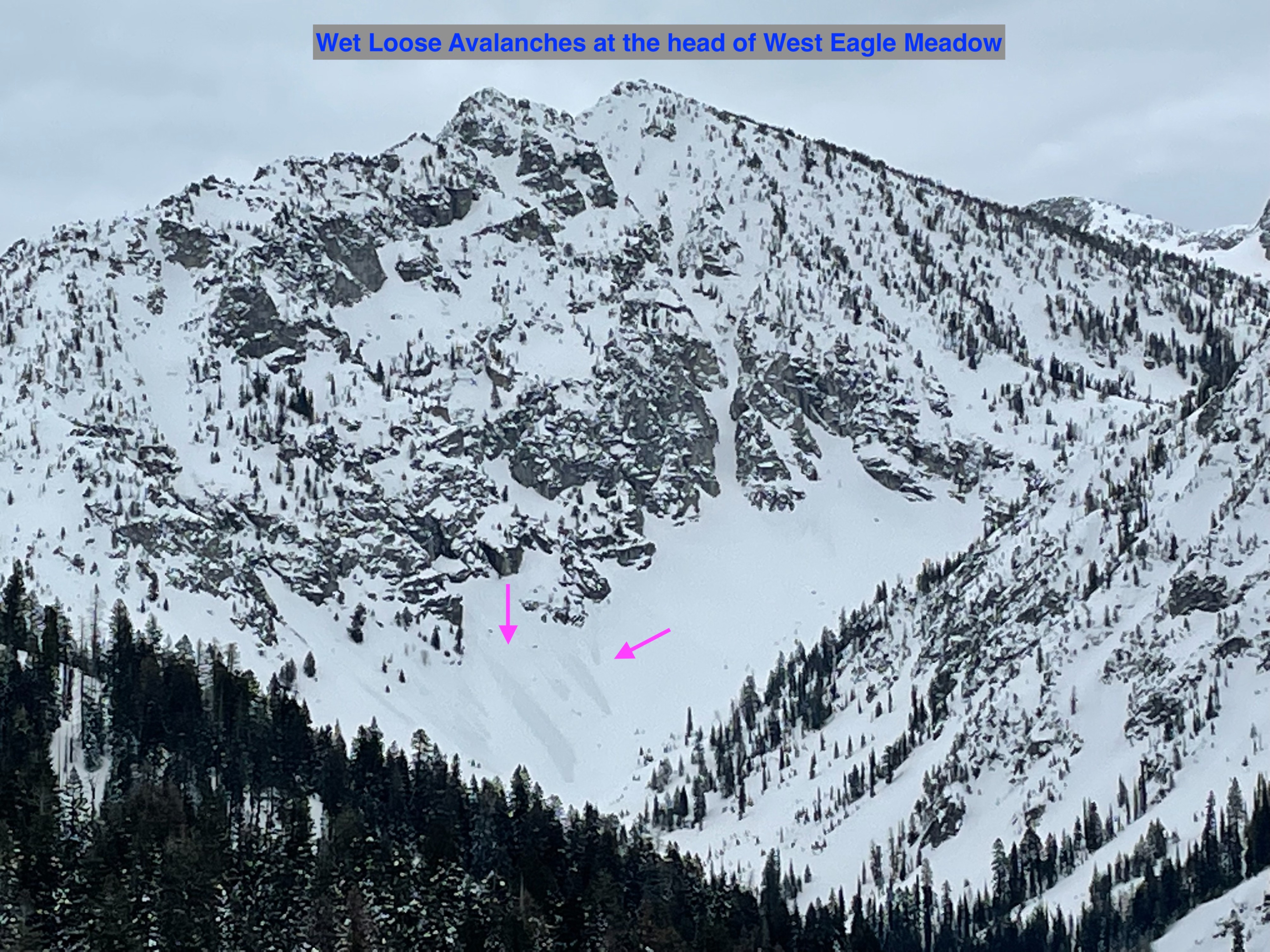
Observed some small D1 wet loose avalanches at the head of the West Eagle Meadows in steep rocky terrain. Approximately 6,000' elevation on a SSW aspect.Weather
- Air Temp
- 28
- Cloud Cover
- overcast
- Wind Loading
- light
- Recent Snowfall
- 30cm
- Snow Avail For Transport
- small smounts
Overcast skies, with the occasional sun break. Winds light in the am from the SE, increasing near ridgelines in the PM.
Snowpack
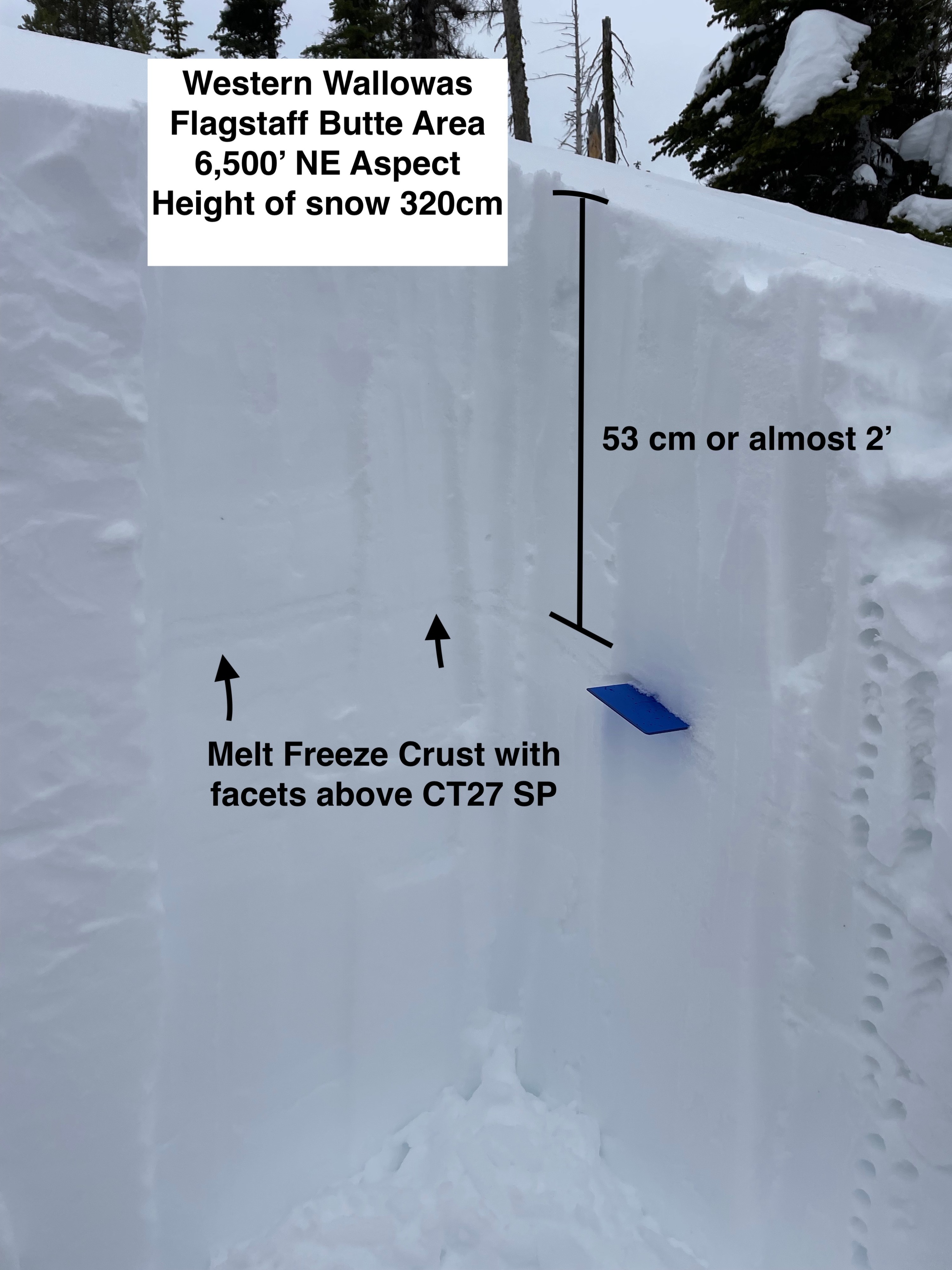
I dug two snowpits one on a NE aspect at 6,500'. The most relevant observation I made was the presence of a melt-freeze crust down nearly 2', with small facets above it. I had sudden planar results while doing a compression test. The second pit I dug was on a SE aspect at the same elevation. The crust layer was more pronounced, and again I could get the column to fail while doing a compression test. I didn't have any propagation while completing an extended column test.
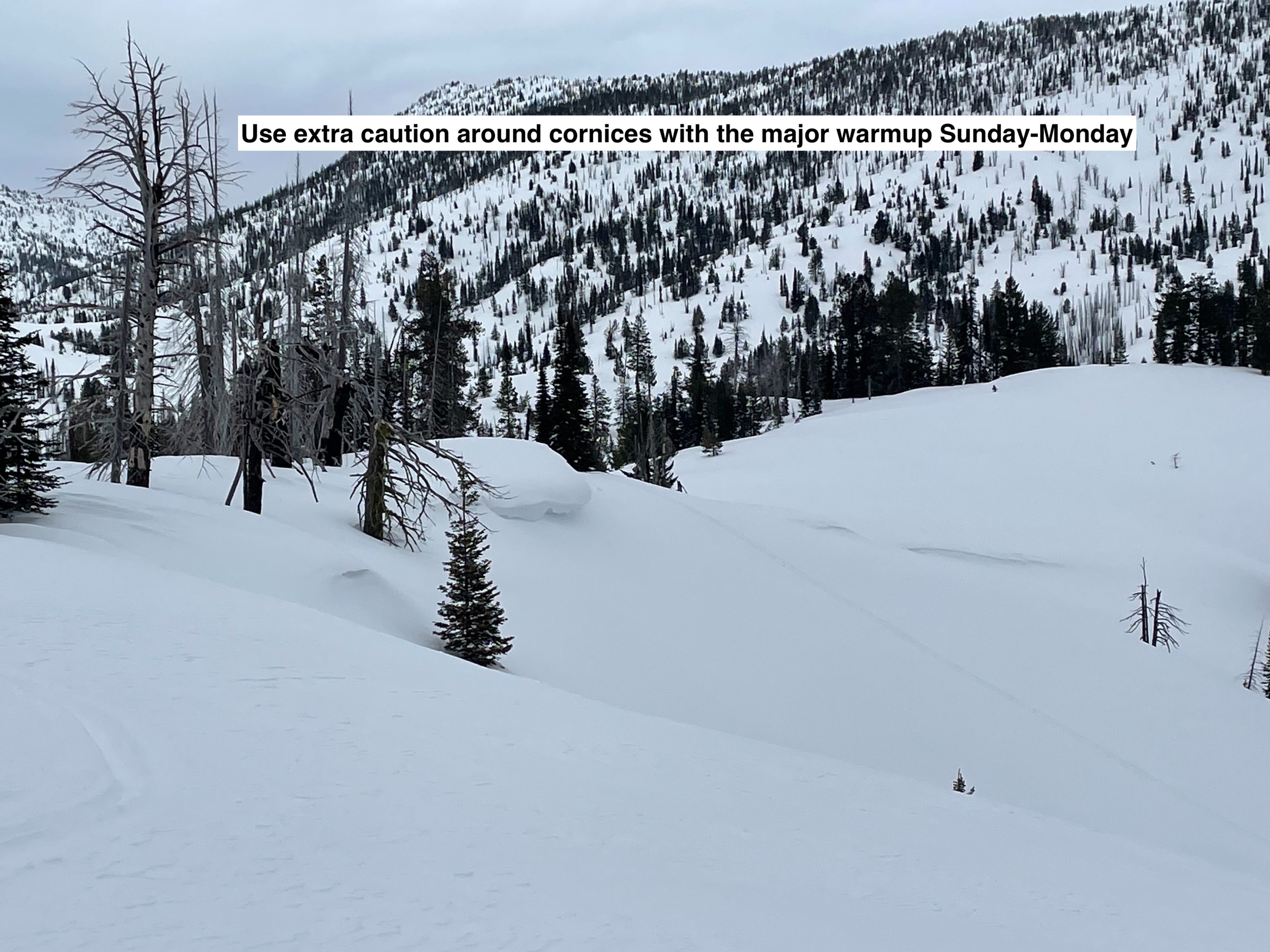
With the increased freezing levels in the forecast for Sunday-Monday, this would be the layer of greatest concern for this part of the Southern Wallowas. On all aspects that receive significant sun (south-east-west) this crust is pretty stout up to 8,000', now buried around 2' deep. When the surface snow becomes more slab-like with the rising snow levels the crust will be a prime bed surface.