
Quick report
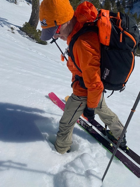
We explored E, SE, and S aspects between 6400 and 7560 ft in Johnson Canyon to check on the potential for wet loose avalanches and failing cornices. Last night's cold clear weather left snow surfaces firm and supportable this morning. By 10 am today's warm sunny weather had softened the surface snow on sunny slopes. The snow remained supportive of our skis throughout our tour, but we would sink in up to our boot tops in many places if we stepped off of our skis. Ski kicks and cuts on sun-warmed test slopes did not trigger wet snow instabilities this morning. We noted that continued warming in the afternoon could change that. By 11:30 am, some E facing slopes were verging on not supporting our skis.
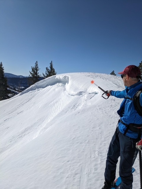
We saw cornices on easterly aspects that showed signs of recent breaks despite being eroded by the previous NE winds. The overhangs of many of these cornices were slumping, and they remain large enough to be of concern if they were to break, so we stayed well back from the edges.
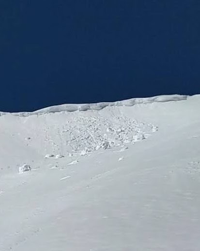
No material wet loose instabilities observed. We did see one recent cornice failure along an E-facing ridge @ 7400 ft, but it did not trigger any additional failures on the slope below.Weather
- Air Temp
- >32F
- Cloud Cover
- few
- Wind Loading
- none
- Rain Elevation
- Not observed
- Recent Snowfall
- None
- Snow Avail For Transport
- none
Warm and sunny, with winds increasing and shifting from very light easterly to steady light to moderate southwesterly.
Snowpack
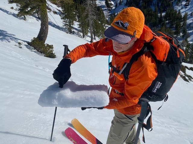
After several melt-freeze cycles, the surface snow seems to be becoming smoother and more consistently supportive. At about 9:40AM, on a S aspect at around 7000' we observed a 6" melt freeze crust, the top inch or so of which had softened. (See photo.) A deep layer of soft wet snow existed below the surface crust.