
Quick report
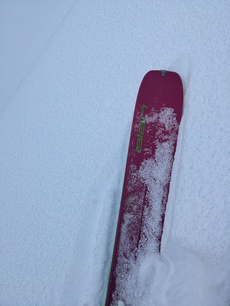
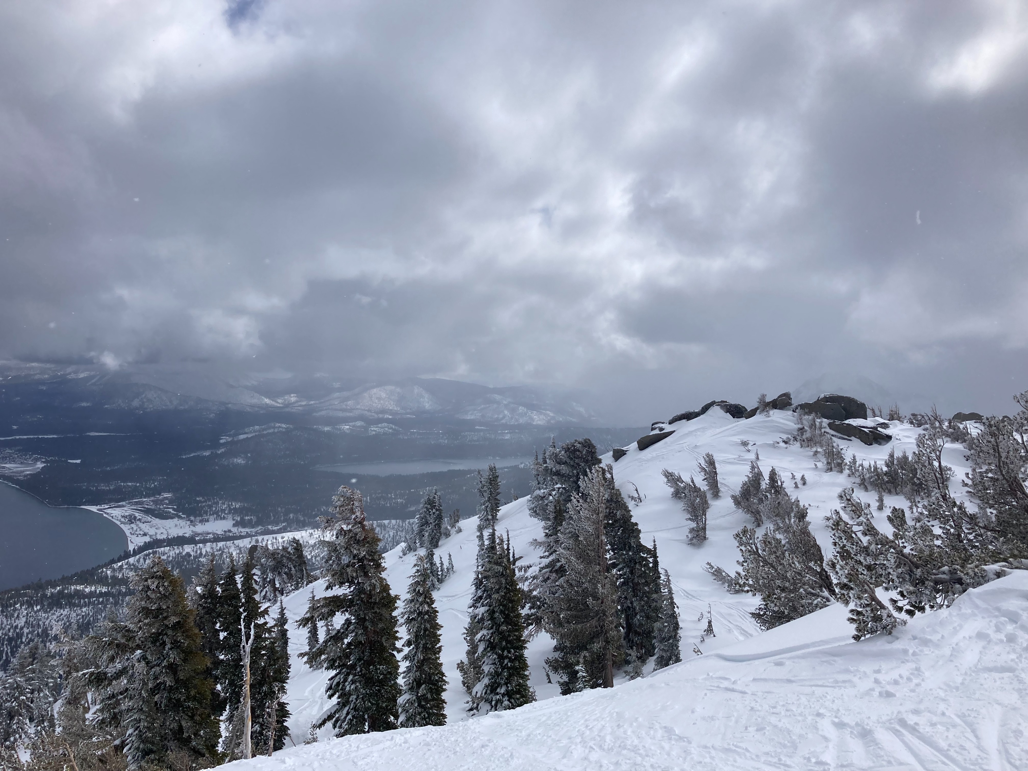
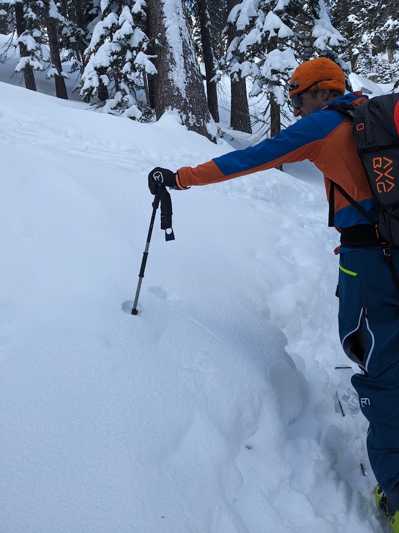
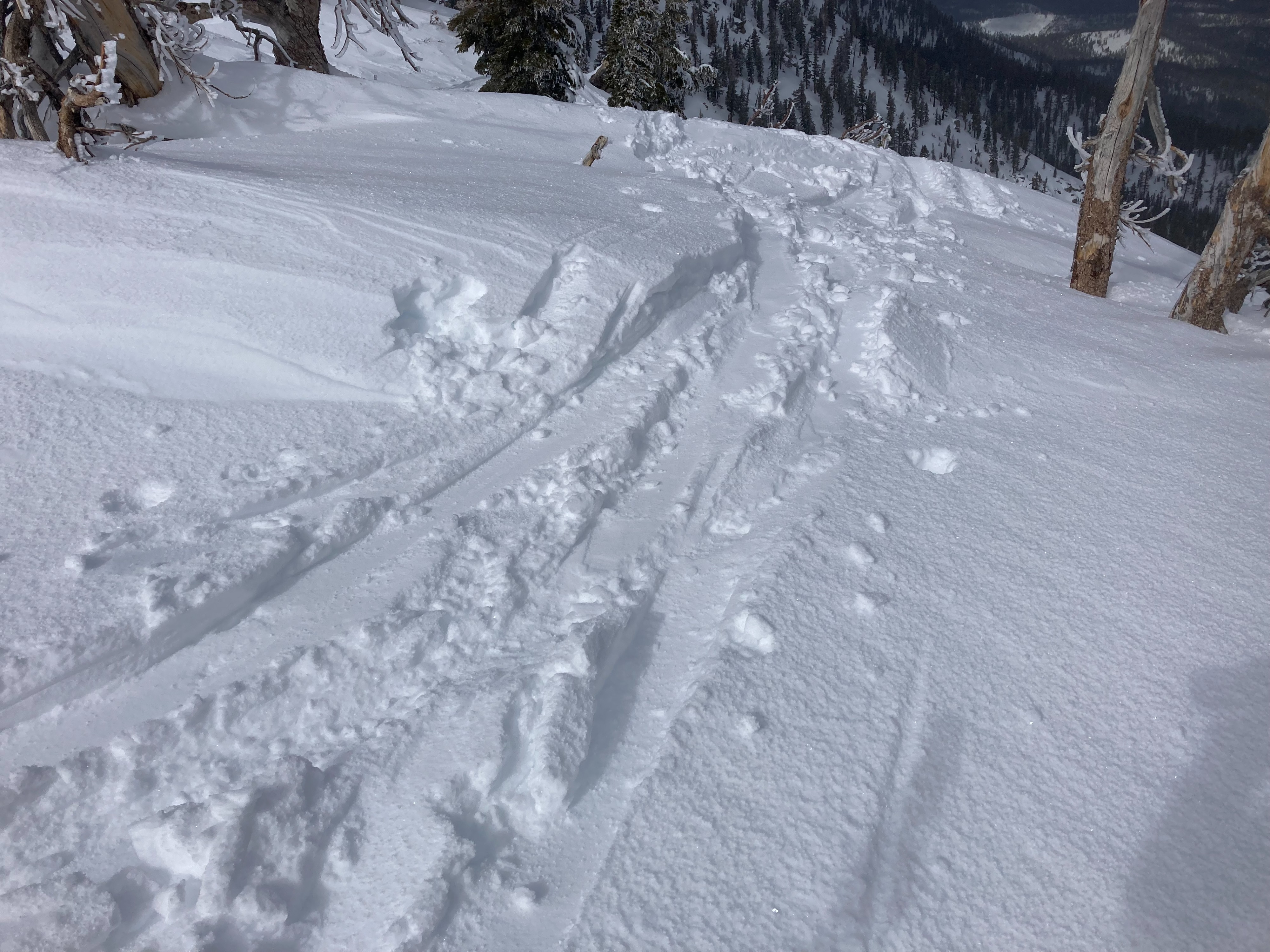
We toured Jakes Peak today. 2 to 4'' of new snow existed in this area overnight, with approximately 1.5 to 2 feet of settling storm snow since Feb 1. The upper storm snow had a density change with a layer of heavier snow that was somewhat ski supportable. The recent snow overnight was mostly made up of large graupel. We saw few signs of wind scouring from a wind shift to NE winds overnight-mostly limited to the upper ridge and peak area. Winds shifted back to the SW today and remained light into the early afternoon. Moderate amounts of snow remains on ridges if SW winds start to increase on Friday as forecasted. Instabilities were limited today: we observed minor cracking on this density change in the upper snowpack, about 4'' deep and we had some very minor sluffing of the graupel snow surface layer. Snow coverage has greatly improved in this area on NE/E aspects, especially above 7400'. Snow coverage remains thin on lower elevation E and SE aspects.
Weather
- Cloud Cover
- broken
- Wind Loading
- light
- Recent Snowfall
- 5
- Snow Avail For Transport
- moderate amounts
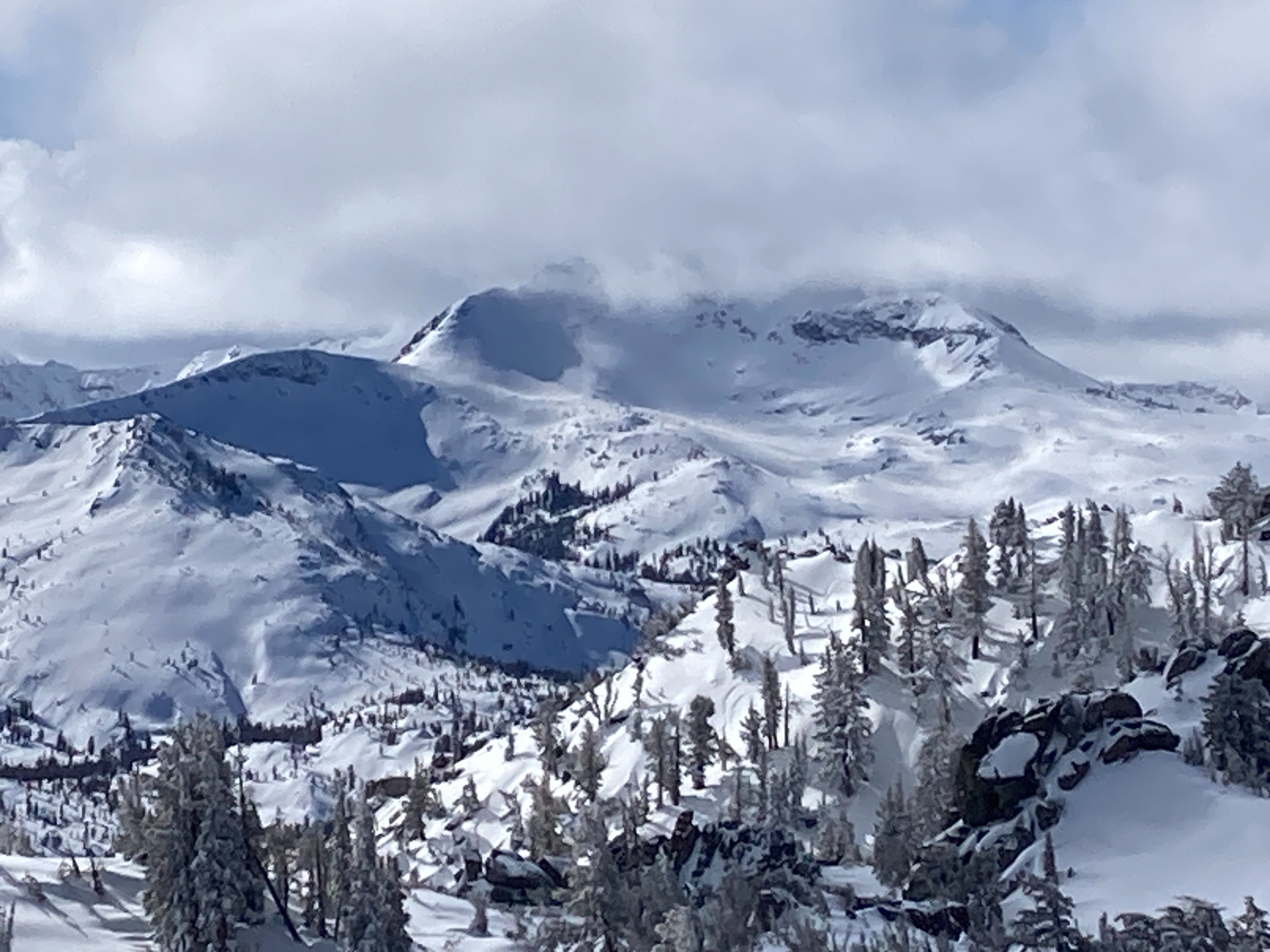
Partly cloudy skies this morning with increasing clouds into the early afternoon. Winds were light throughout this time period.