
Quick report
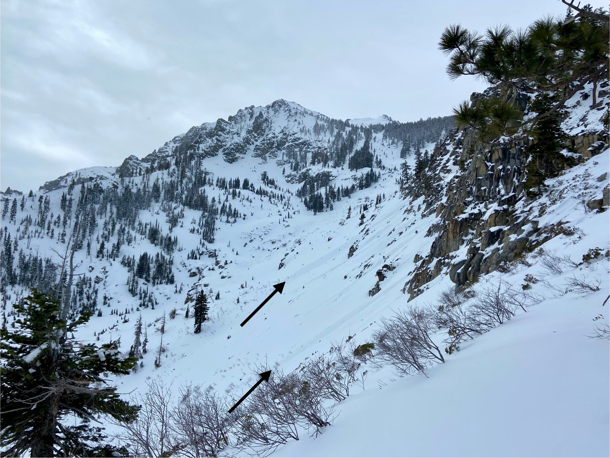
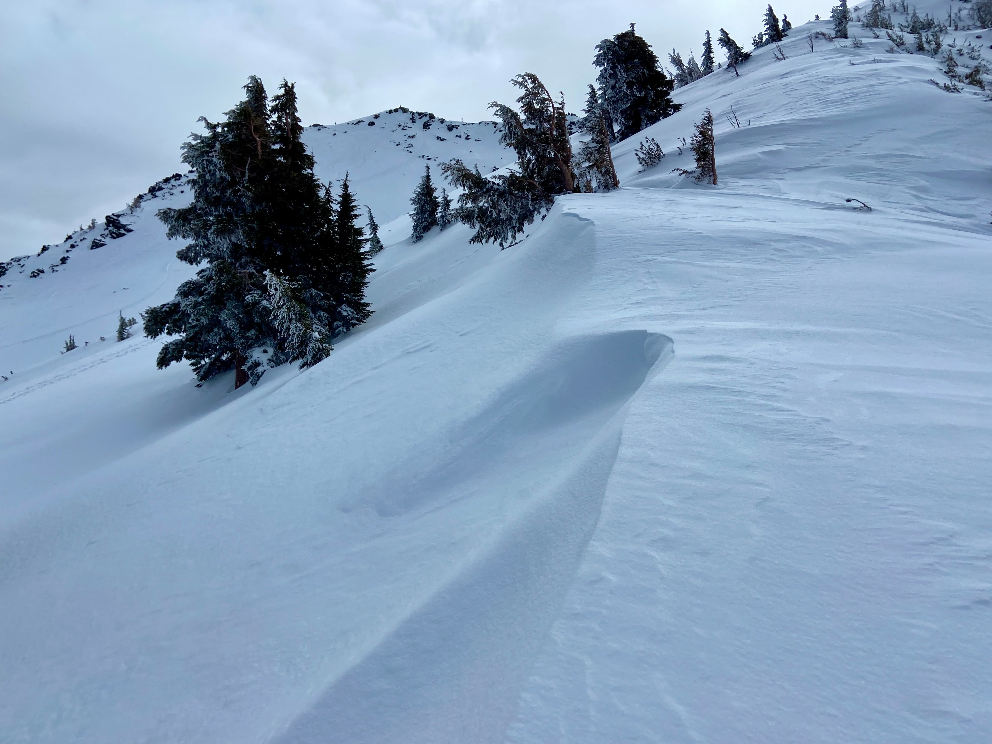
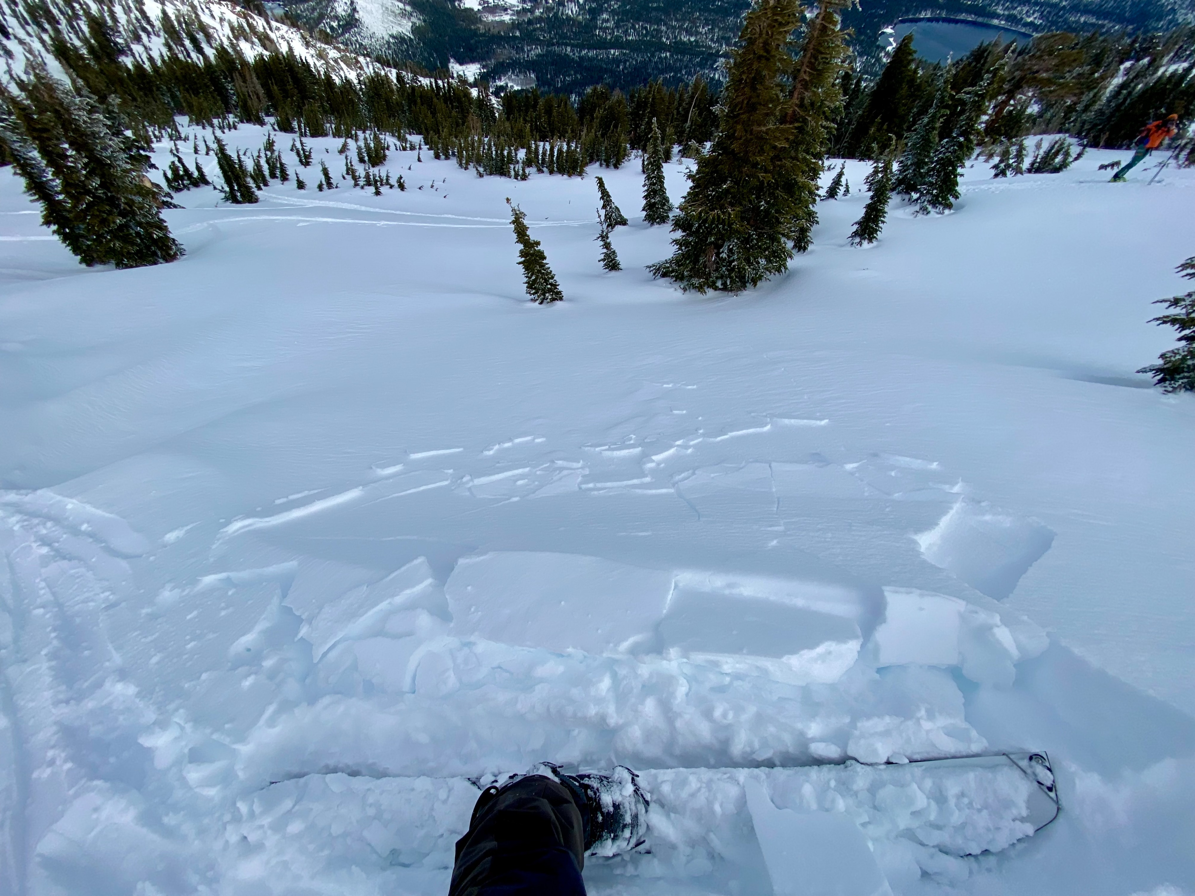
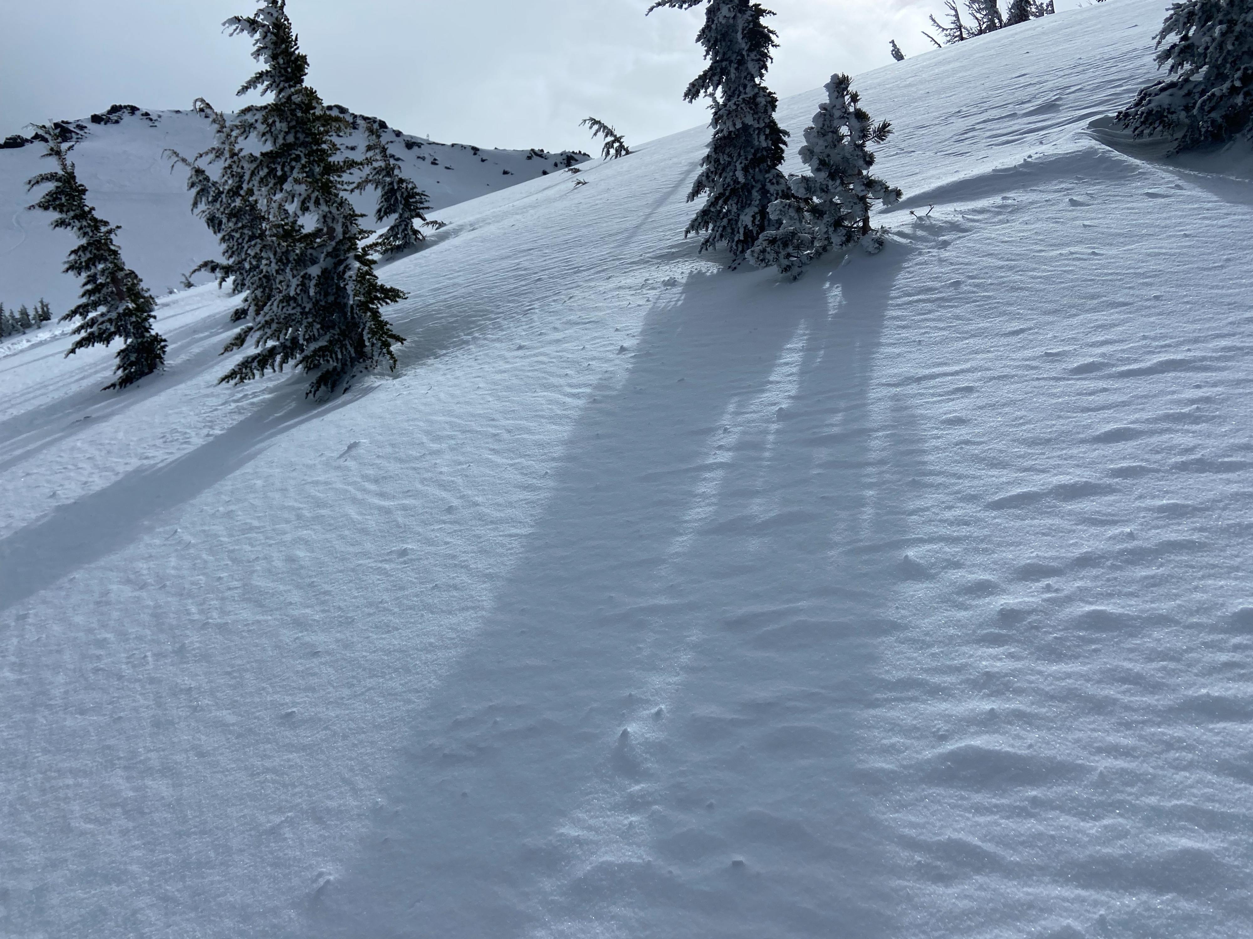
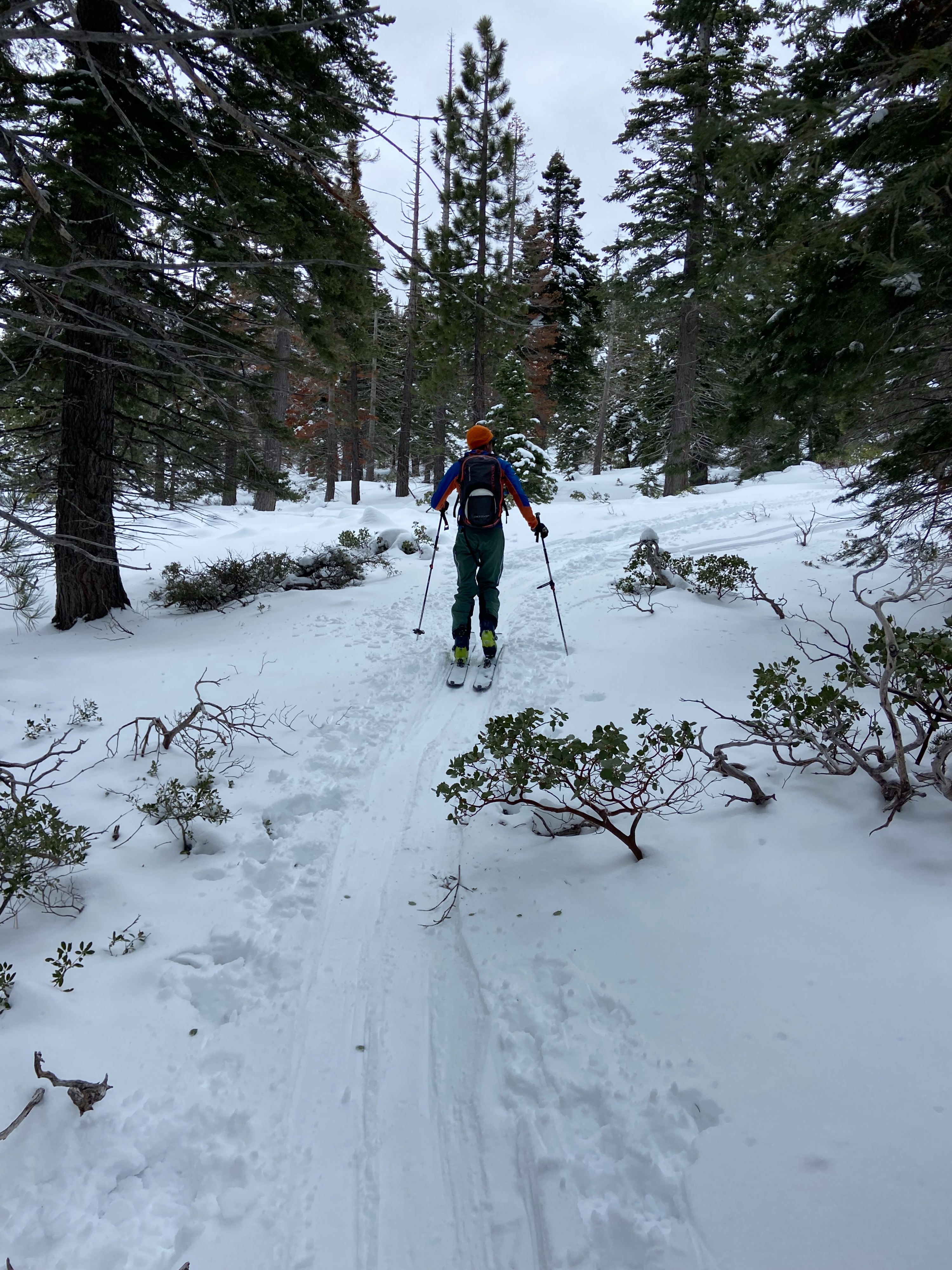
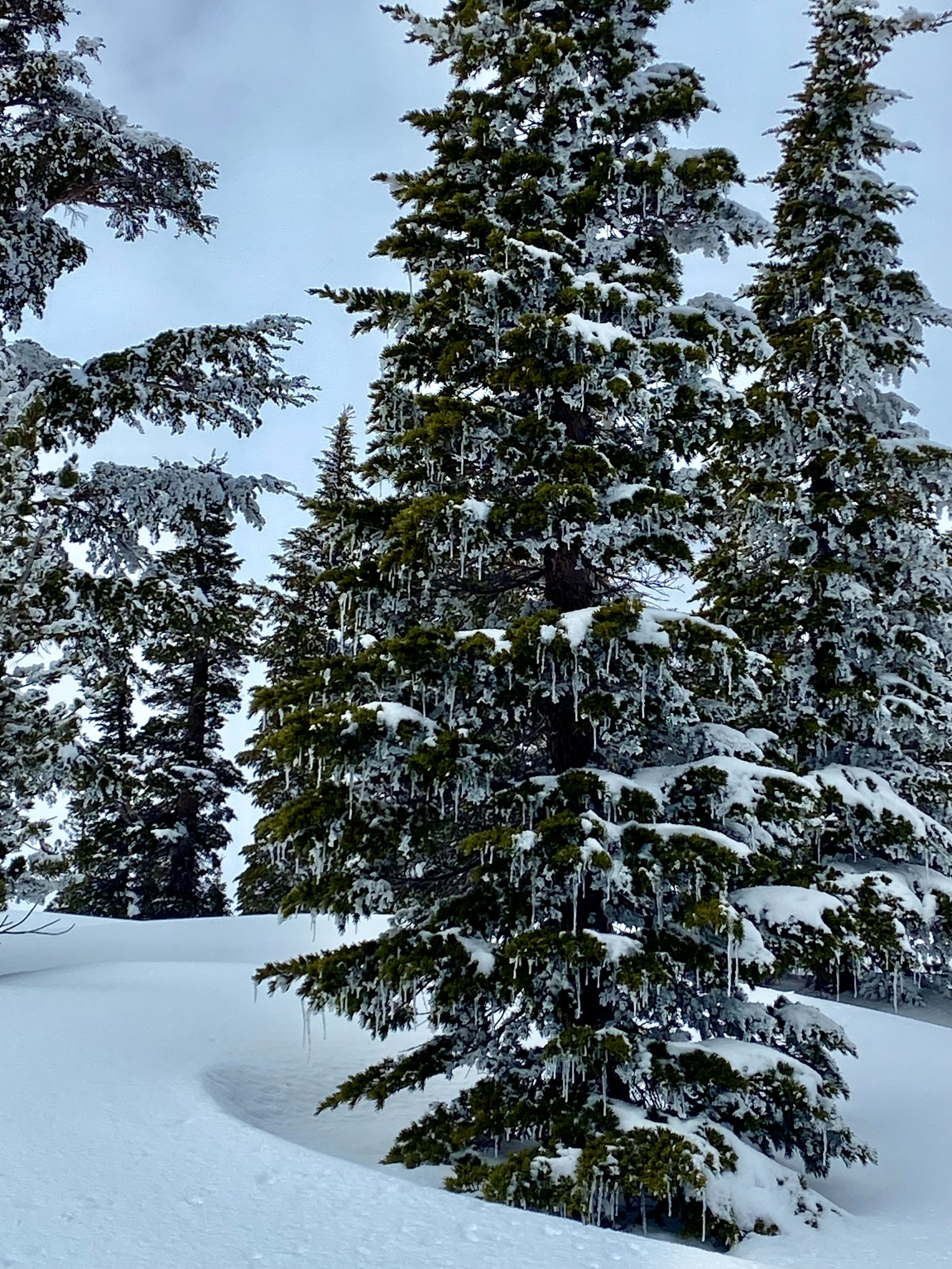
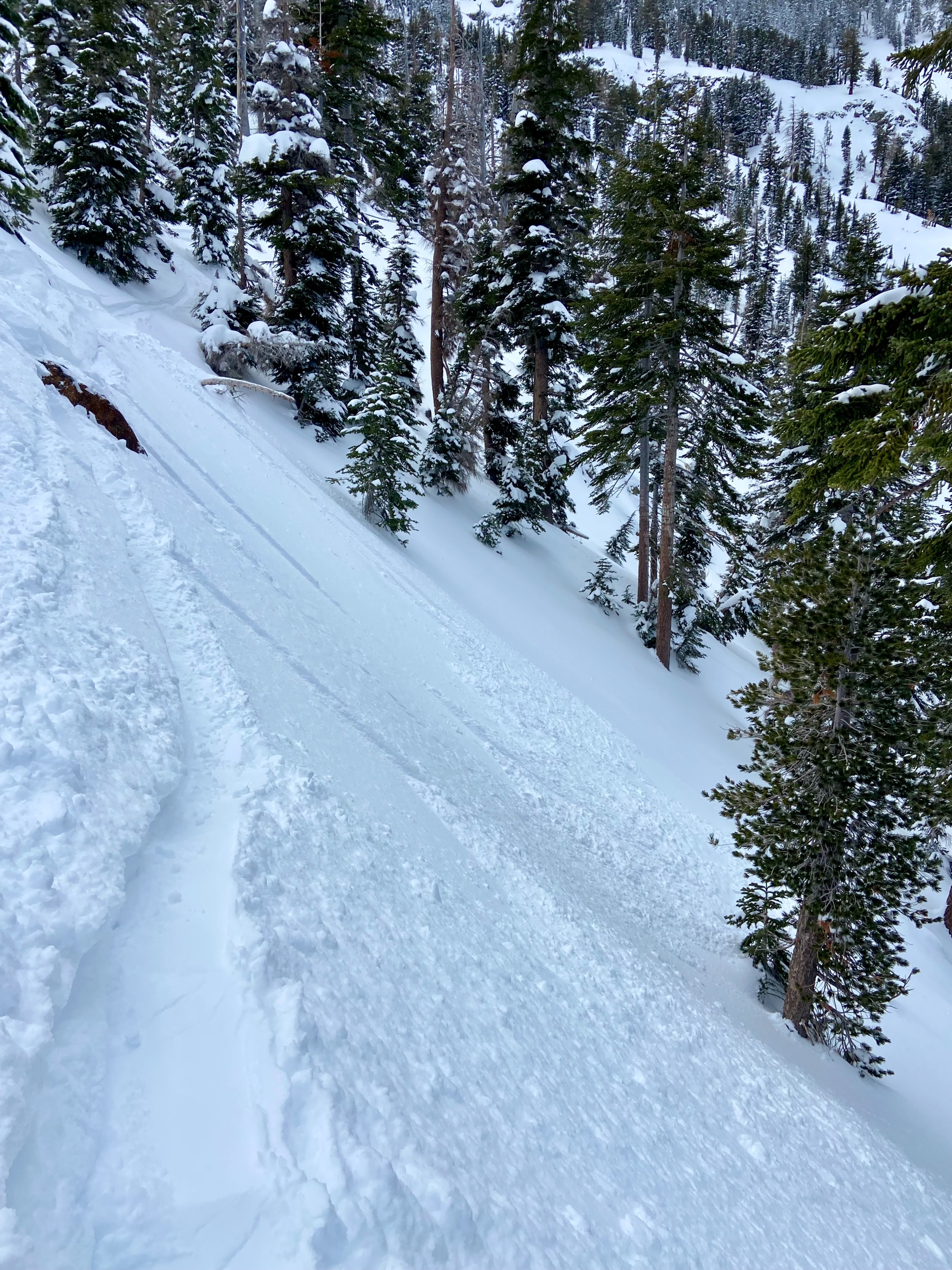
At the trailhead there was 2" of fresh snow this morning. As we gained elevation this increased into the 4-6" range above 8,000'. Additionally, above 8,000' total storm snow since Jan 31 has consolidated to an average of 1.5'. We saw some minor wet loose activity on a S aspect around 8,000' and evidence of melt freeze on S facing trees at 9,000'. Wind speeds as of our decent time of noon were still light. Despite moderate snow available for transport wind slab development was very limited. There was slight wind texture in the N bowl but minimal evidence of strong winds. On our descent we observed a few small dry loose sluffs. We stuck to N and NE terrain which was holding unconsolidated cold snow. Minor wind slab development. Maximum depth at Noon was 5".
Weather
- Air Temp
- below freezing
- Cloud Cover
- overcast
- Wind Loading
- light
- Recent Snowfall
- 5-12
- Snow Avail For Transport
- moderate amounts
Broken to mostly overcast skies. Light S, SW winds.
Snowpack
Generally unconsolidated stable snow throughout our tour.