
Quick report
Those were some enjoyable turns today. In more windloaded or lower angle spots above 7000' by the end of the day, you couldn't feel the Valentine's day crust. Sheltered areas in the trees were the move for snow quality and avoiding windslabs.
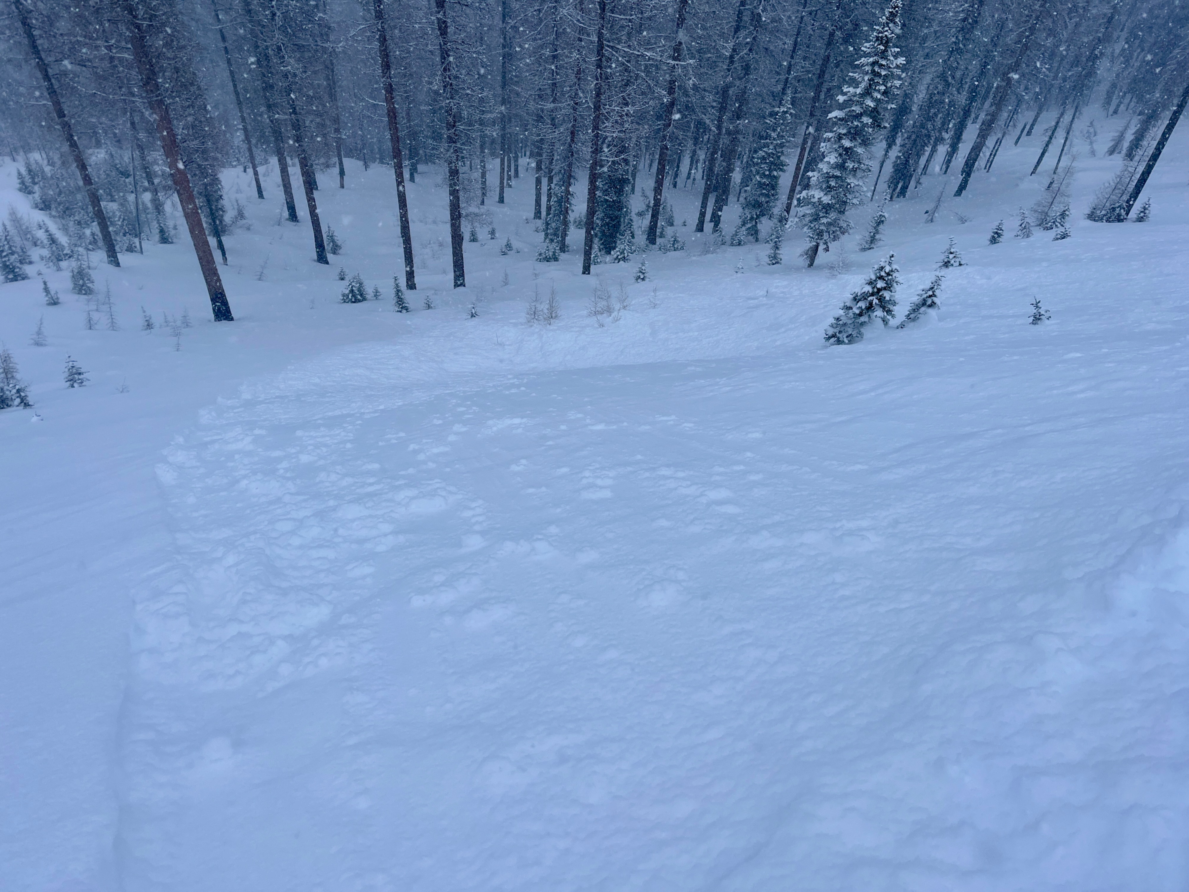
No signs of instability other than rapid loading. Storm snow showed signs of settling into a slab in handshears, but only released as loose snow on test slopes.Weather
- Air Temp
- 27.7
- Cloud Cover
- overcast
- Wind Loading
- light
- Recent Snowfall
- 10-25
- Snow Avail For Transport
- moderate amounts
It snowed consistently S1-S2 midday through the afternoon. Winds were light except for ridgeline at 7800' where S winds were sustained at moderate and we saw blowing snow. Temps stayed consistent and the snow was dry, although melting on the coat.
Snowpack
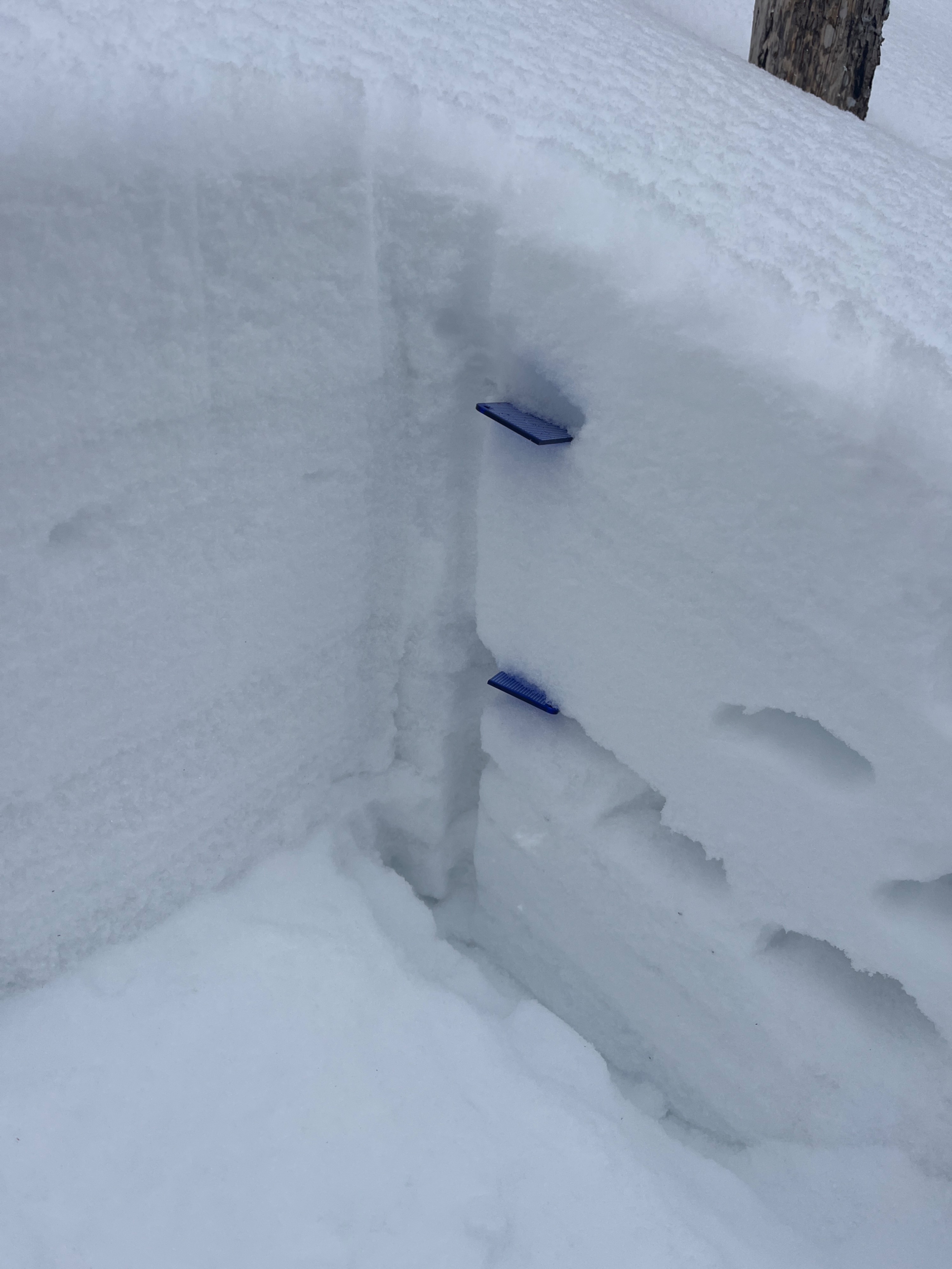
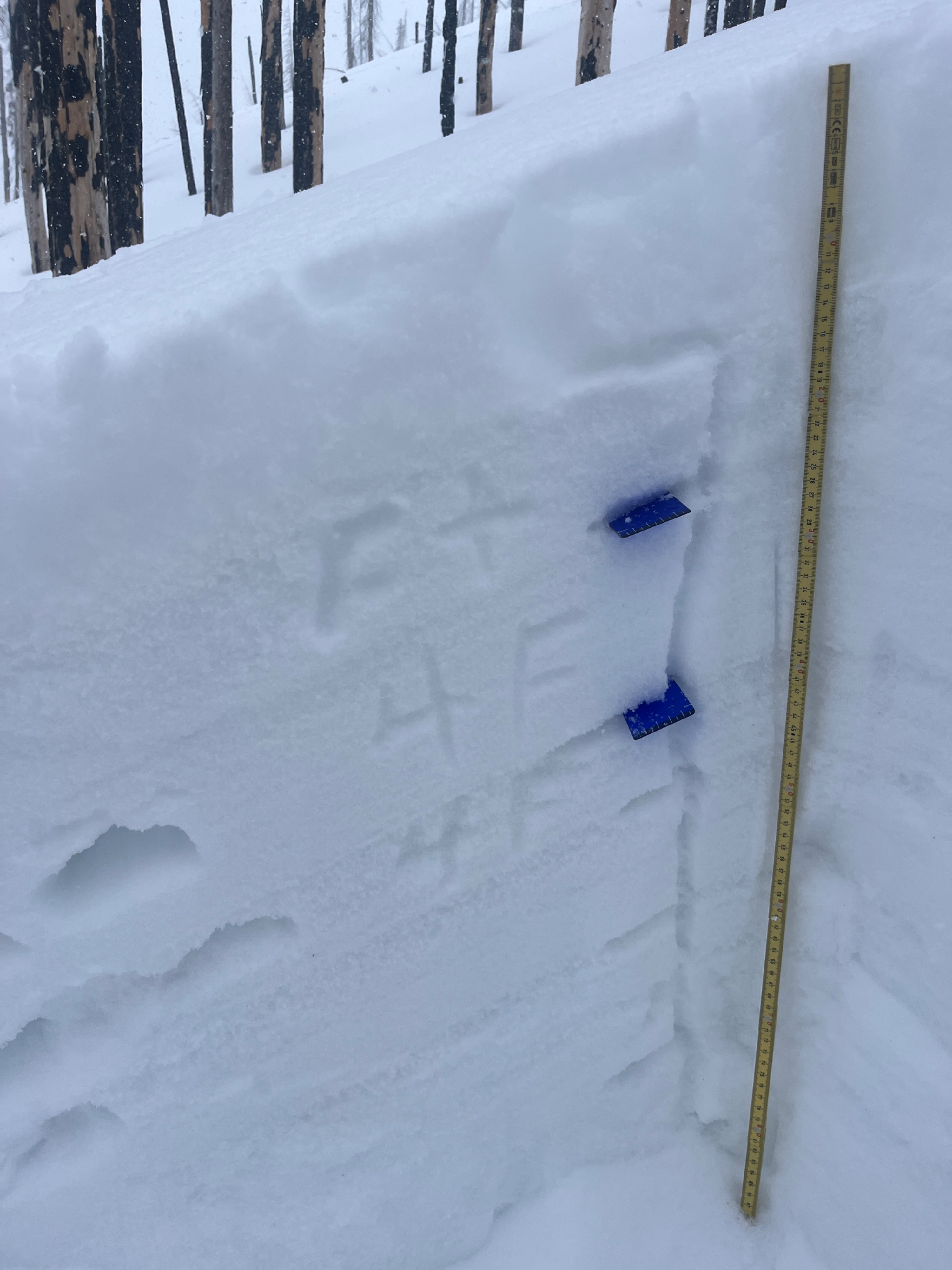
By the end of the day, there was 25cm or 10" of new snow around 7800' but about 15cm/6" down by 7000'. Salt creek summit parking got snow but did not accumulate more than 1".
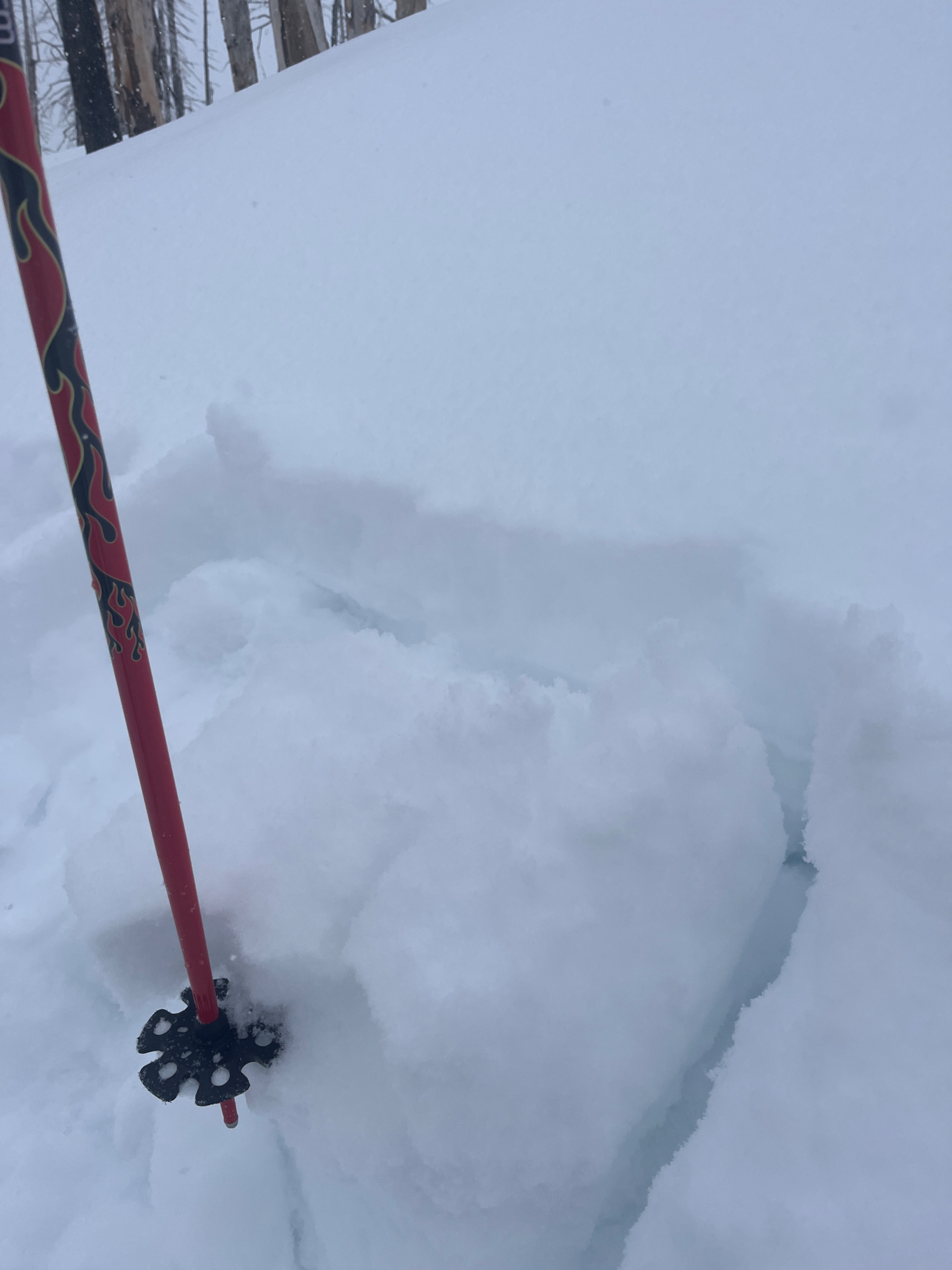
We found failure on isolation below the Valentine's Day crust during a compression test on a SE aspect at 7900', along with a similar failure on a shovel tilt test (non-standardized, see video). This hadn't gotten a slab above it and was windward in this location, but would be a concern with more weight on it.
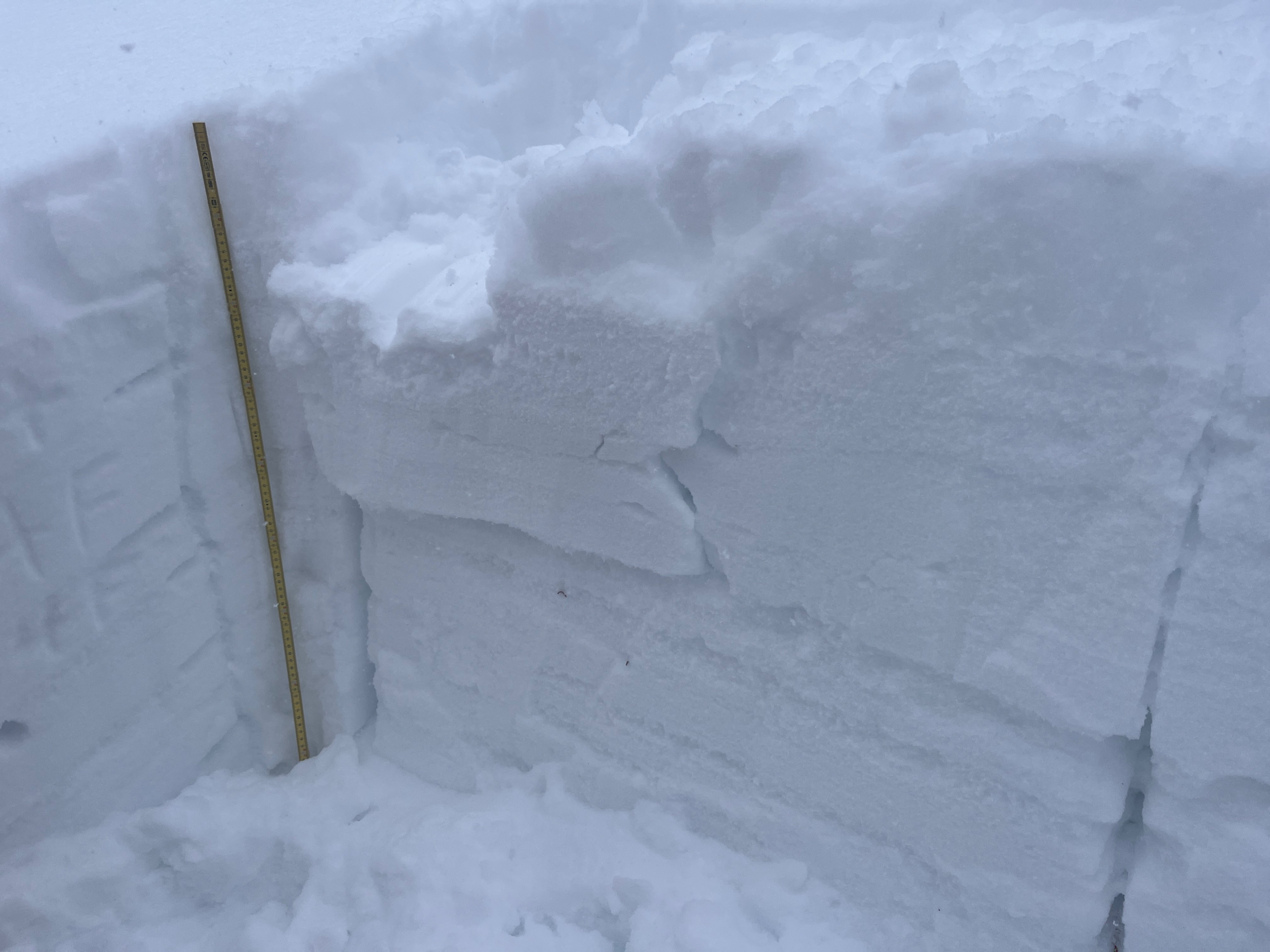
A pit at 7300' NW had 150cm of snow, right side up in the top 80cm or so and rounding facets of 4F hardness. No notable test results in ECT.
Avalanche
- Size
- D1 R2
- Type
- L
- Aspect
- NE
- Trigger
- AS
- Elevation
- 6900 ft