
Quick report
It was a cool and foggy day before the next system rolled in late afternoon. We found previous windslabs (24-48h old) had healed with mild temps and we felt comfortable stepping into 35 deg northerly terrain, managing small and stubborn dry loose avalanches. Skiing was supportive and fun. Snowmobiling was okay as long as you didn't punch through the temperature crust and bury the track below. By the trailhead at our exit, we were drenched.
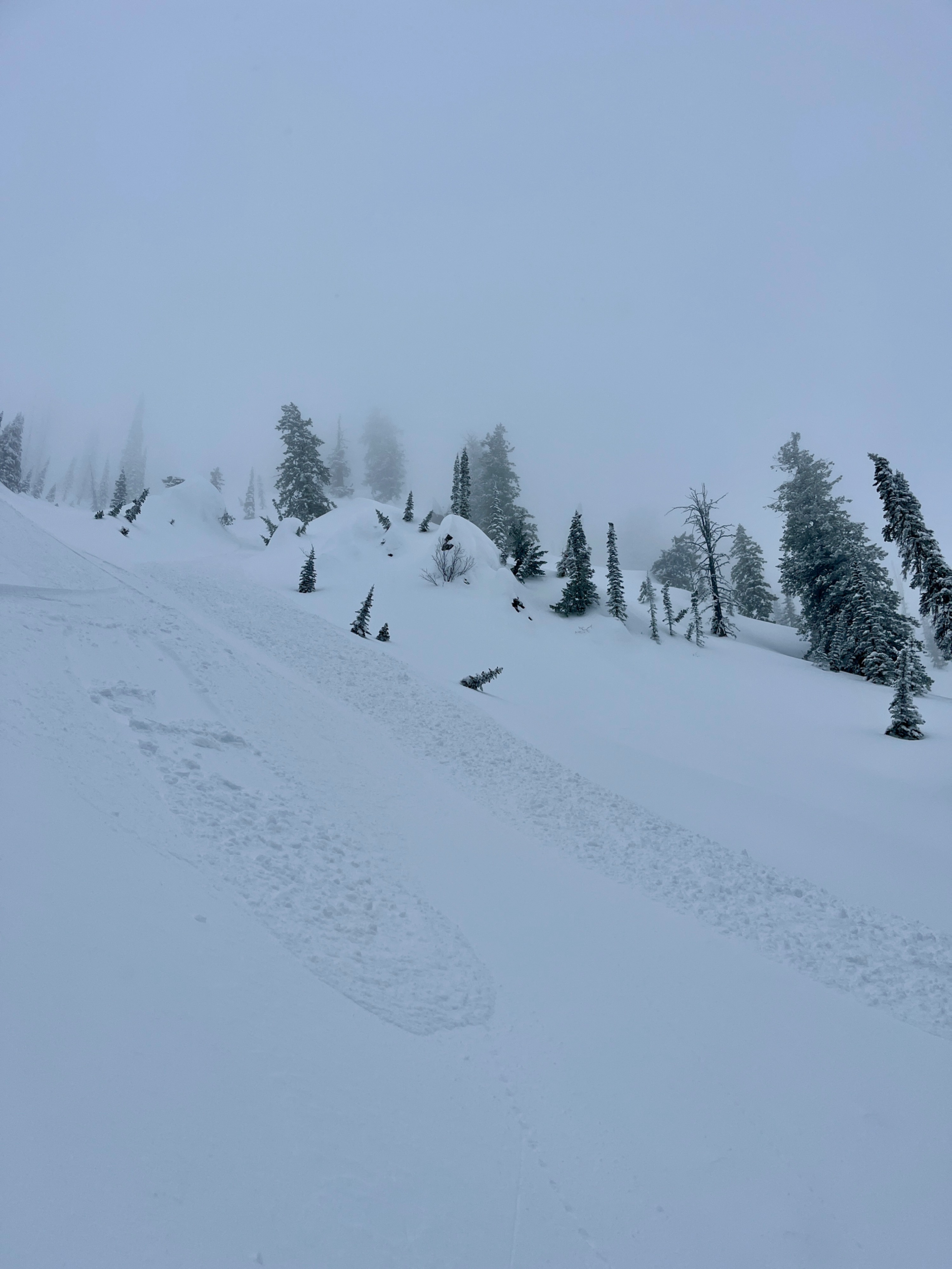
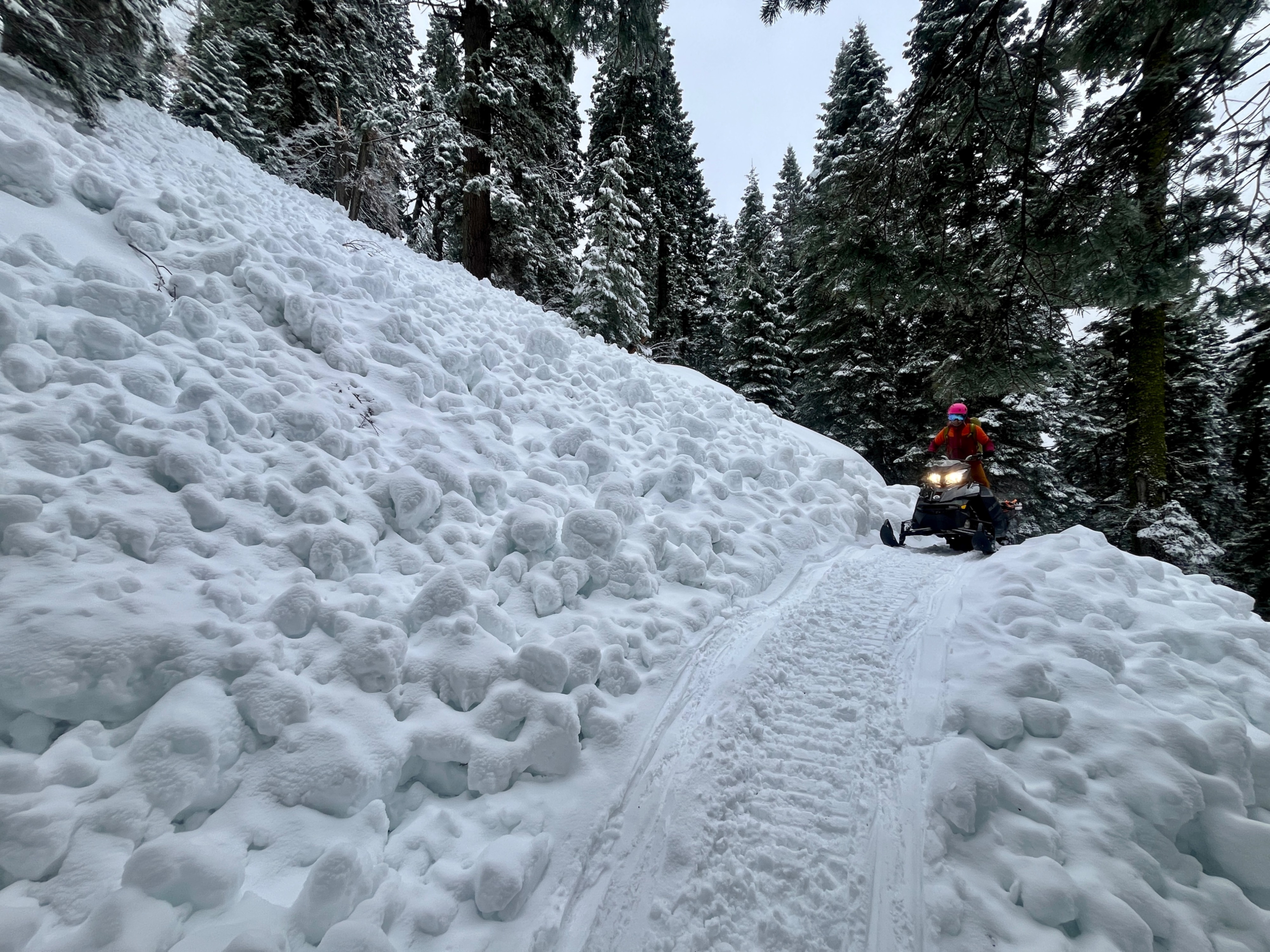
1 skier triggered D1 dry loose avalanche that ran 400' in 35-40 deg terrain (see photo). Previous windslabs from Weds/Weds night were unreactive and now covered by 20cms of non-wind-affected denser new snow from Thursday night 3/20. 3x previous natural wet loose up to size 2 on approach road (see photo). These probably ran during Wednesday's warmup.Weather
- Air Temp
- 26.5
- Cloud Cover
- obscured
- Wind Loading
- none
- Rain Elevation
- 4500
- Recent Snowfall
- 10-30
- Snow Avail For Transport
- small smounts
Dense fog above 7400' with riming/freezing mist. Calm to light SW-SE winds. Heavy snowfall began at 1700h, with rain below Cornucopia Lodge.
Snowpack
4" of heavier new snow in the last 24h increased to 8" (20cm) above 6000'. This showed no reactivity in hand shears or convex rolls and was a uniform thickness/no wind effect. Below this was a softish (4F) temperature crust which was ski and machine supportable but not for boots (PF40-50).
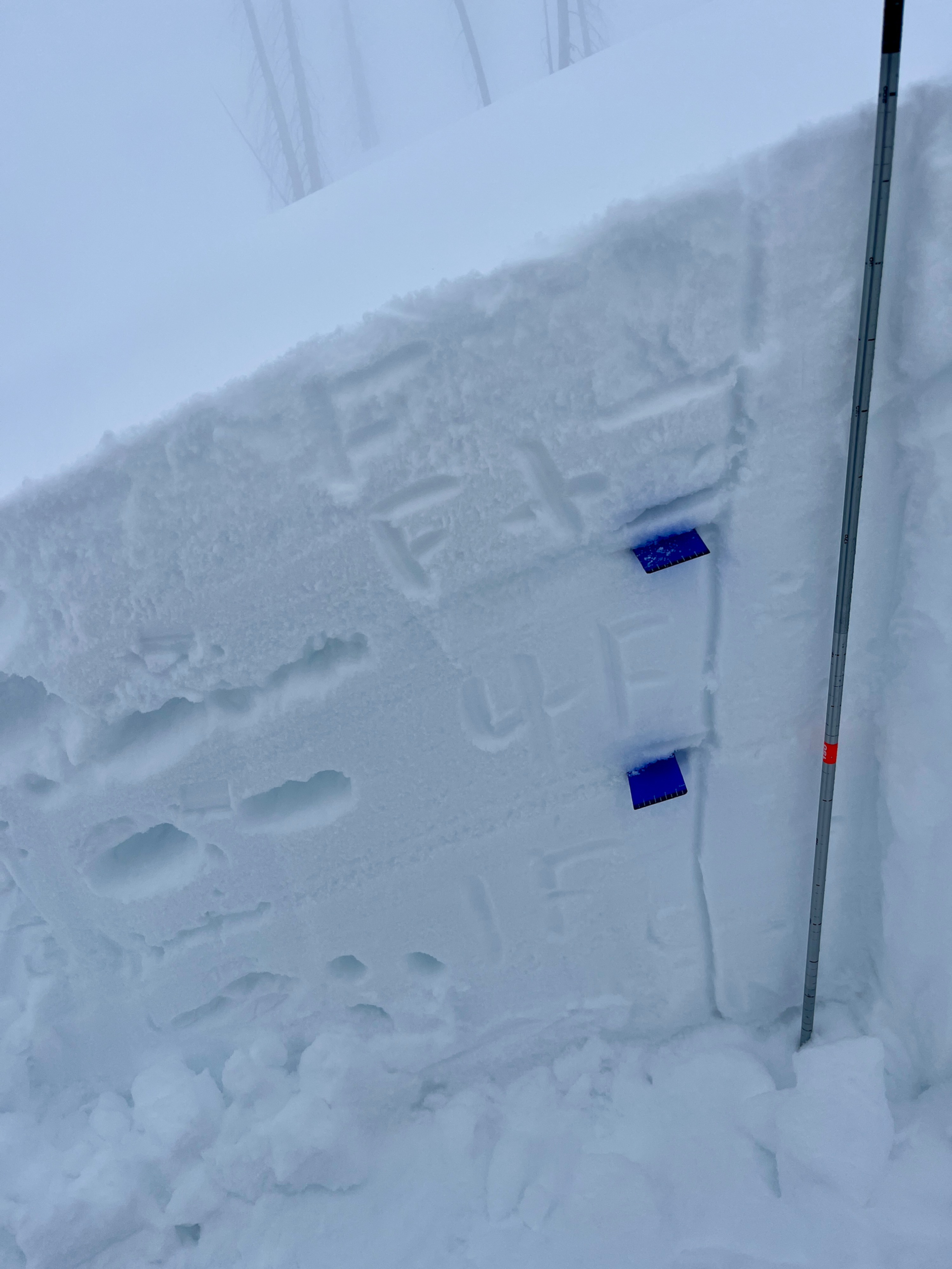
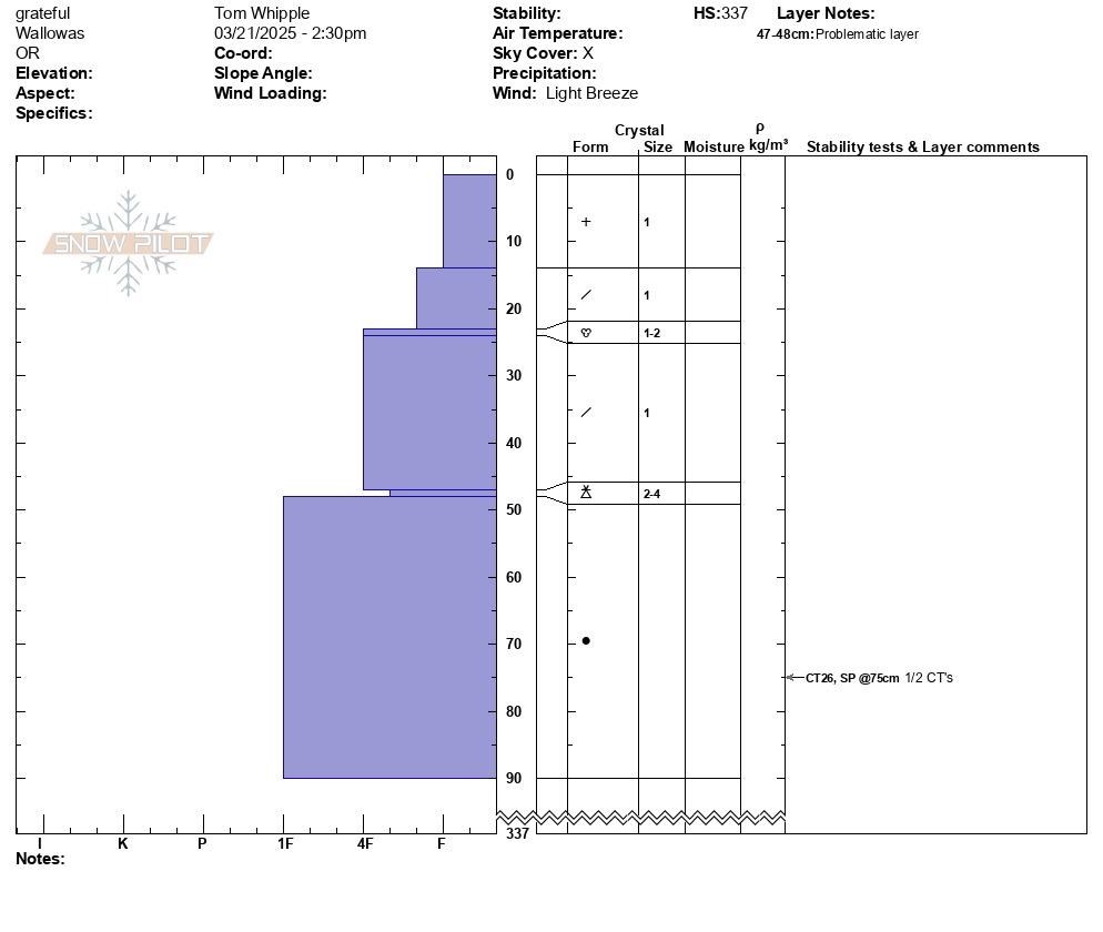
A pit at 7060' E showed a right side up snowpack with no notable results from compression tests. HS347