
Quick report
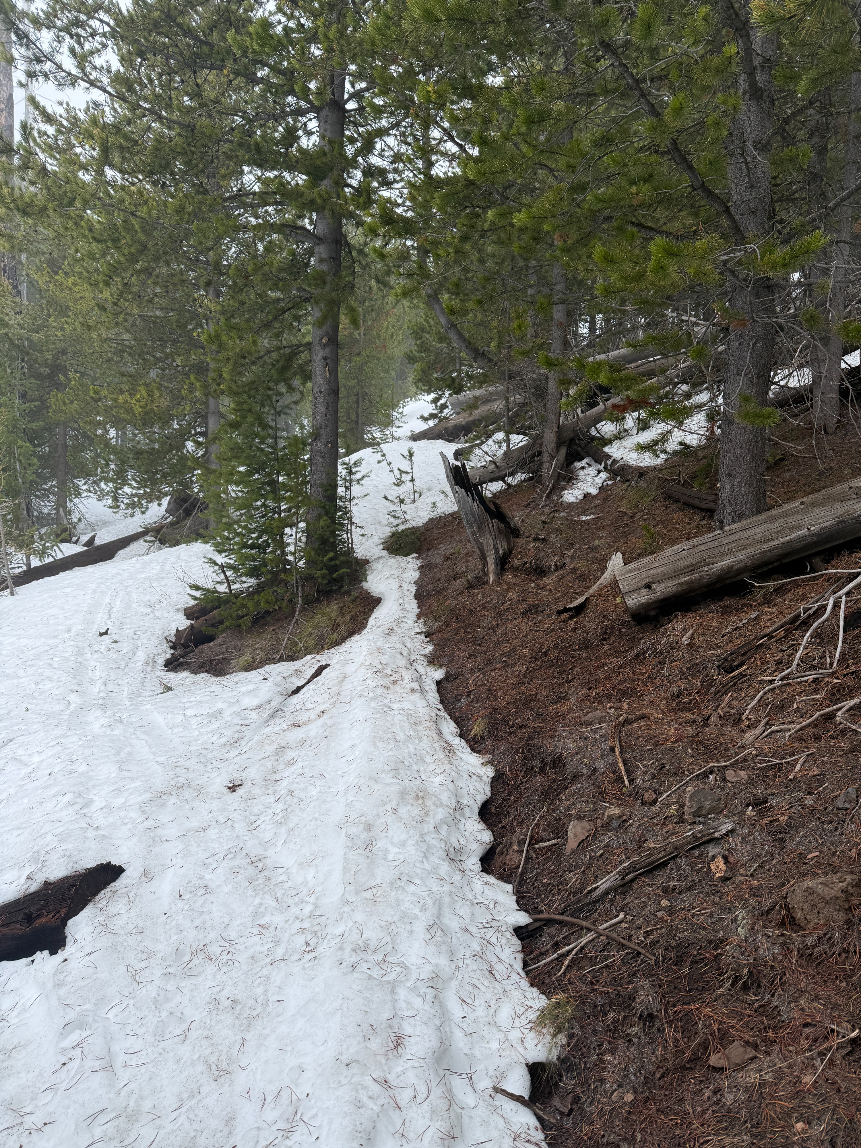
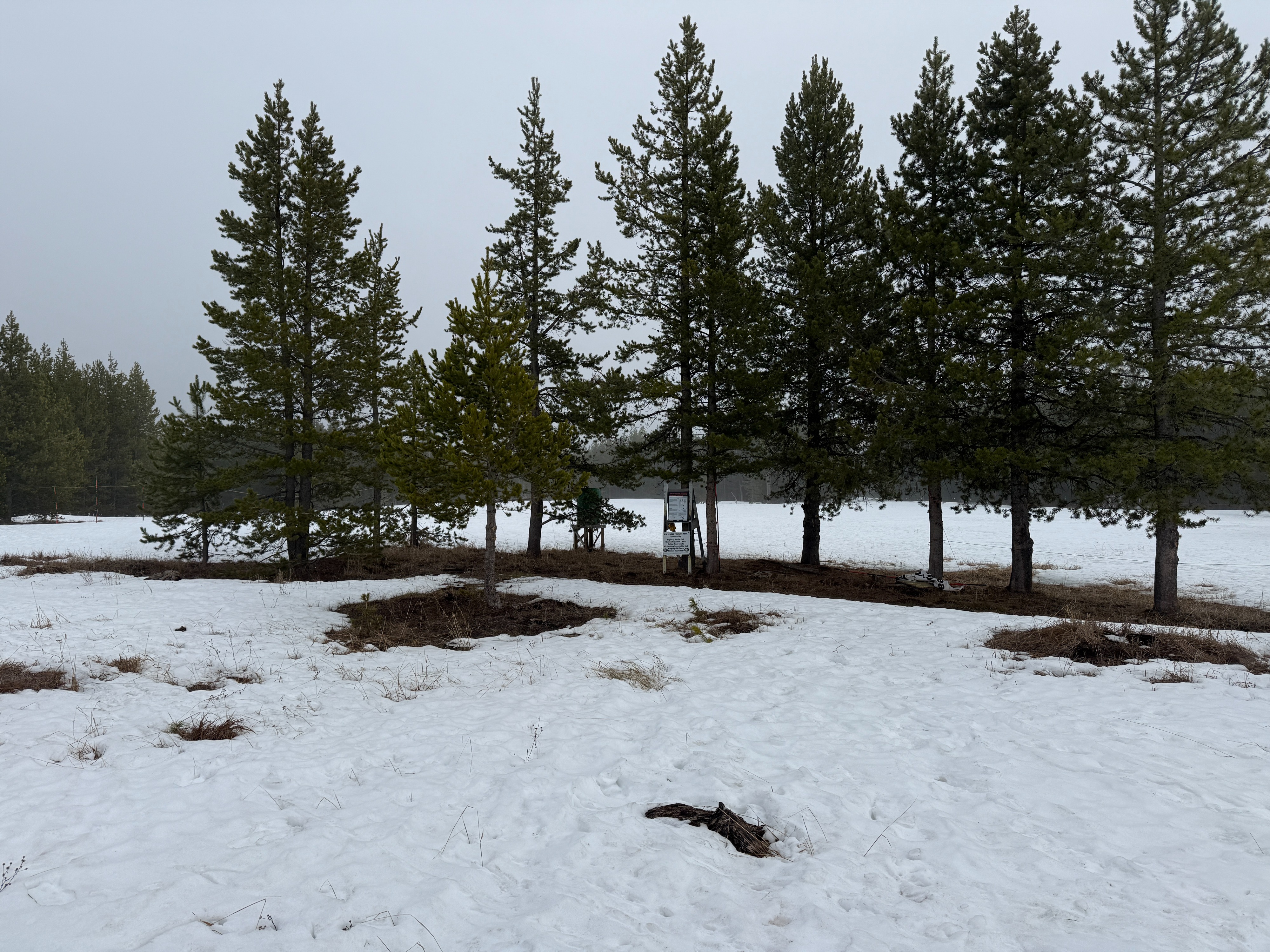
I travelled to an elevation of 8,000' today to investigate the extent of wet snow in the upper snowpack. On solar aspects, if I stepped out of my skis, I would punch my boot above the boot top in wet snow. On areas that previously had ski tracks or a skin track, the snow surface was supportive. Unconsolidated snow felt punchy and unsupportive- especially on solar aspects and near trees. I found that water has percolated almost 2 feet from the snow surface and pooled on a crust in the middle of the snowpack just above the January Facets. I avoided terrain steeper than 30 degrees, and the turns were better than expected.
Weather
- Air Temp
- 37
- Cloud Cover
- overcast
- Wind Loading
- none
- Rain Elevation
- 6500
- Snow Avail For Transport
- none
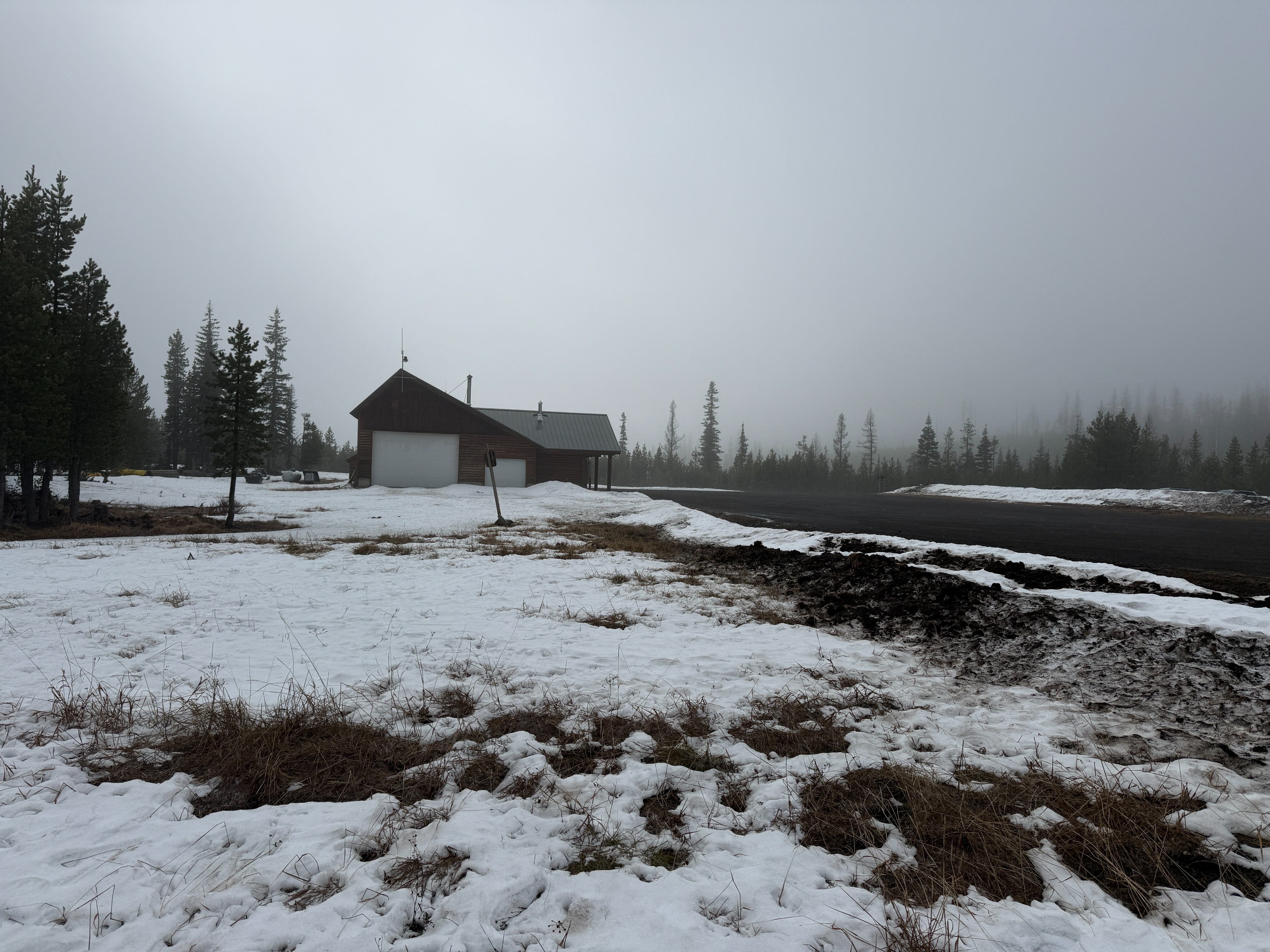
Overcast skies until 1200, then Broken skies with intermittent filtered sun that caused a "greenhousing effect" on the snow surface. Wind was light out of the NW. The air temperature hovered between 32 and 37 degrees.
Snowpack
Height of the snowpack depends on aspect and elevation, but there averages around 4-6 feet of snow on most aspects above 7500'. The upper 4" of the snowpack was saturated on all aspects below 8,000'. The upper snowpack consists of melt forms that have seen meltwater drain 1-2 feet from the surface and pool on a midpack crust.